
Peaks
Careys Peak
1,545 m

Structured map data, terrain measurements, and regional landscape characteristics
Examine the technical geographic specifications for Barrington Tops National Park within New South Wales, Australia. This profile details the 765.12 square kilometer land area, boundary dimensions, elevation records reaching 1586 meters, and internal topography including mountain peaks, waterfalls, and diverse forest habitats.
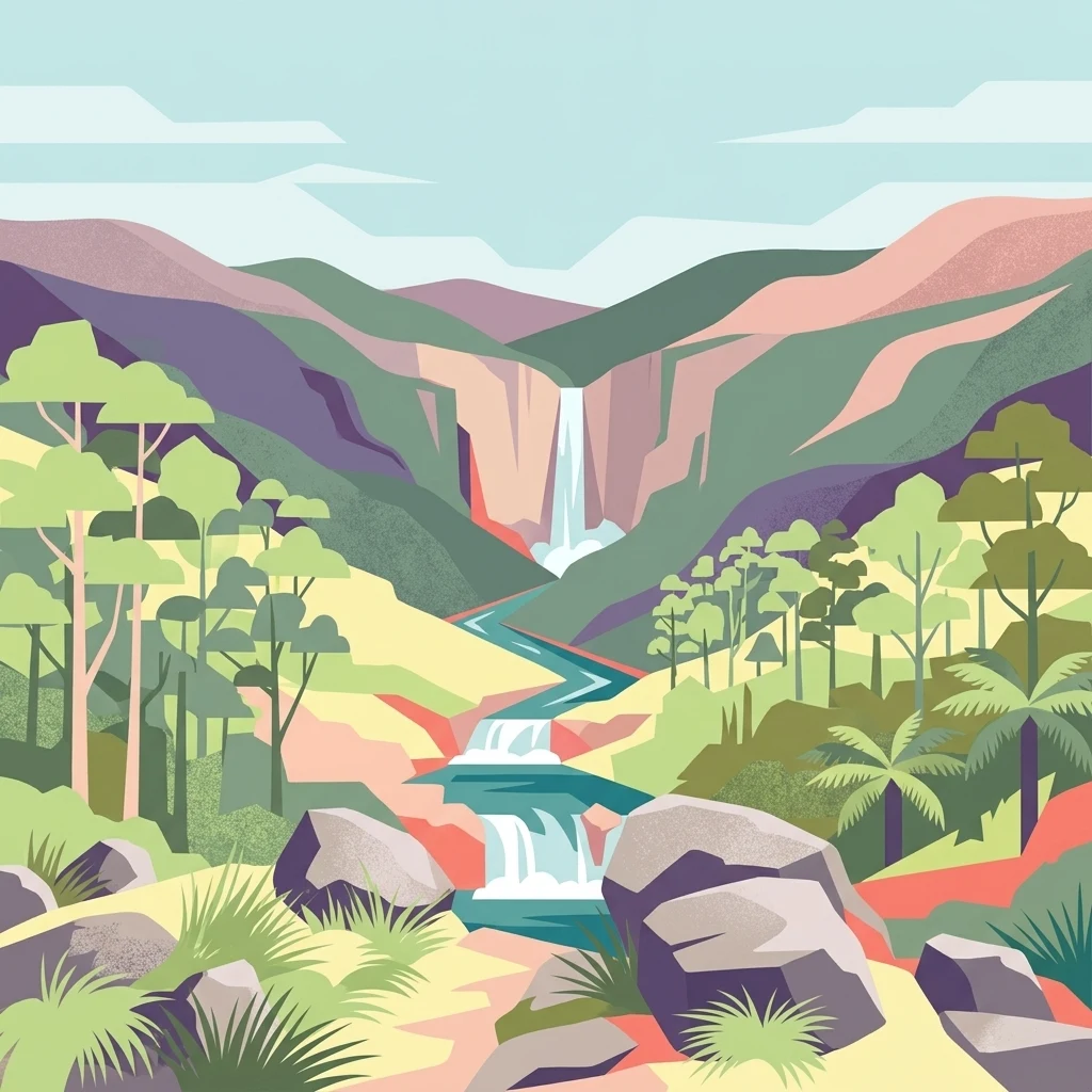
Alpine wilderness and Gondwana rainforest on the Barrington Tops plateau
Barrington Tops National Park is a protected wilderness area in the Hunter Valley region of New South Wales, Australia. Gazetted in 1969, the park encompasses approximately 76,500 hectares of mountainous terrain forming part of the Mount Royal Range, a spur of the Great Dividing Range. The park protects a remarkable ecological gradient, transitioning from subtropical rainforests in the sheltered gullies at lower elevations through temperate woodlands to subalpine and alpine environments on the exposed peaks. This diversity, combined with the region's ancient geological heritage dating back 300 to 400 million years, makes Barrington Tops one of Australia's most botanically significant protected areas. The park forms a core component of the Gondwana Rainforests of Australia World Heritage Site, inscribed in 1986, recognizing its outstanding universal value as a living repository of ancient plant lineages.
National and regional placement in New South Wales
Exploring the 765 square kilometer landscape extent and coordinates
Explore recorded peaks, rivers, and internal landforms within the park boundaries
Peaks
1,545 m
Waterfalls
Peaks
1,586 m
Streams
Streams
Ridges
Temperate climate zones, montane forest habitats, and major forest cover profiles
Mountains · Valleys · Plateau · Forest · Rivers · Volcano
Tropical forest · Montane forest · Temperate broadleaf forest · Alpine meadow
Trace the regional geography, comparing adjacent protected landscapes across the Great Dividing Range system.
Northwest

Highland geography within the Mount Royal Range, New South Wales
This protected area represents a significant upland region in New South Wales, characterized by weathered plateau edges and cool mountain environments. The terrain supports high-altitude peat wetlands and diverse montane forests, rooted in the ancient geological legacy of the Barrington Volcano. Its protected boundaries link directly to the Gondwana Rainforests, providing essential habitat continuity across the Great Dividing Range.
Southwest
Explore its protected boundaries and landscape context.
Mount Royal National Park is a key protected area in New South Wales, offering an opportunity to delve into its specific geographic identity and mapped landscape features. As a national park, it provides structured data for understanding protected lands within Australia. This detailed entry supports exploration of the park's unique regional context and its contribution to the broader atlas of natural landscapes.
Southeast
A vital ecological refuge in the Hunter Region of New South Wales
Black Bulga State Conservation Area encompasses a diverse bushland mosaic of Sydney blue gum, tallowwood, and subtropical rainforest patches. This reserve highlights the abrupt shifts in terrain and vegetation typical of the Barrington Tops foothills, providing a stable habitat for koalas and various marsupials within its protected boundaries.
East
Mapping forest ecosystems and historic industrial relic landscapes.
Copeland Tops State Conservation Area provides a distinct look at the Hunter Region landscape, offering an unusual blend of dry rainforests with massive Moreton Bay figs and red cedar alongside expansive wet sclerophyll forests. The reserve functions as an essential habitat for koalas, wombats, and greater gliders, while the Mountain Maid gold mine remnants offer insight into the local nineteenth century history hidden within these sheltered valleys.
Northeast
Discover the mapped terrain and regional atlas context of Woko National Park.
Woko National Park presents a unique opportunity for geographic discovery, situated within New South Wales, Australia. This detail page focuses on the park's protected landscape and its mapped boundaries, providing a clear understanding of its geographic identity. Engage with Woko National Park as a key component of the Australian national park atlas, highlighting its regional setting and natural terrain.
East
Conservation-focused landscape in the Hunter Region
Covering over 2,700 hectares, The Glen Nature Reserve protects a rich mosaic of sub-tropical sclerophyll forest and creek-lined gullies in the Hunter Region. The reserve provides essential habitat for threatened wildlife and represents a key node in the protected land network of eastern New South Wales, highlighting the intersection of forest types and local watershed topography.
North
Mapping the natural landscapes and protected boundaries within this national park.
Nowendoc National Park in New South Wales, Australia, offers a distinct protected landscape for atlas-driven discovery. This entry provides critical geographic context, detailing the park's mapped boundaries and its place within the regional terrain. Explore the specific identity of Nowendoc National Park as a protected natural area, crucial for understanding Australian conservation landscapes and geographic context.
Northeast
Mapped riverine corridors and wet forest ecosystems
Bretti Nature Reserve serves as a vital conservation anchor in the Hunter Region, protecting a rare mix of subtropical rainforest and wet sclerophyll forest. This detailed record maps the reserve's position along the Bernard River, illustrating its role as a landscape-scale link within the Great Eastern Escarpment's diverse mountain terrain.
Venture deeper into the mapped landscape of Barrington Tops National Park to understand its complex ecosystems and geographic significance. Discover the unique features of this protected area, from its ancient rainforests to its dramatic mountainous terrain. This detailed exploration provides essential context for understanding protected lands and their role within regional geography.