Mori Atlas logo
Park earthquake history

Explore a catalogue of geological events associated by epicenter distance with alpine landscapes.

Historical Earthquake Records and Seismic Data for Bjeshkët e Nemuna National Park

This resource provides a searchable catalogue of recorded seismic activity located in the vicinity of Bjeshkët e Nemuna National Park. The entries organize historical data by event magnitude, depth, and distance from the park boundaries within the Accursed Mountains. View detailed records derived from geological monitoring to better understand the seismic history characterizing this protected area in western Kosovo.

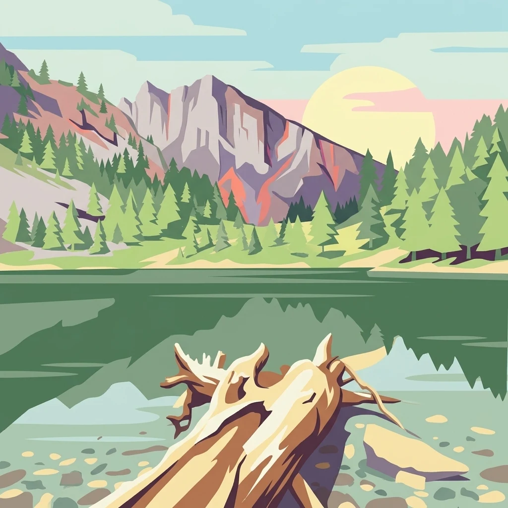
Stylized illustration of a mountain lake with pine trees, a fallen log, and a setting sun.

Kosovo's premier alpine wilderness in the Accursed Mountains

Bjeshkët e Nemuna National Park

Bjeshkët e Nemuna National Park is Kosovo's largest protected area, established in December 2012 to safeguard one of the Balkans' most significant alpine ecosystems. Located in the western region of Kosovo, spanning the districts of Gjakovë and Pejë, the park encompasses 63,028 hectares of mountainous terrain within the legendary Accursed Mountains—the southernmost geological continuation of the Dinaric Alps. The park protects dense deciduous and coniferous forests, alpine meadows, and numerous glacial lakes, creating a complex mosaic of habitats across dramatic elevation gradients. It represents a critical conservation corridor in the region, bordering Valbonë Valley National Park in Albania to the south and forming part of a transboundary mountain ecosystem of international ecological significance. The International Union for Conservation of Nature (IUCN) has designated the park as Category II, recognizing its national importance, while BirdLife International has identified it as an Important Bird Area of international importance.

Location
Kosovo
Park type
National park
Established
2012
Area
630.3 km²
Highest point
2,656 m
Bjeshkët e Nemuna National Park Atlas

Compare Bjeshkët e Nemuna National Park dates, depths, places, and distances

Investigate earthquake records near Bjeshkët e Nemuna National Park

Bjeshkët e Nemuna National Park’s catalogue uses reported epicentres and calculated distance to frame historical records around the Accursed Mountains, without treating alpine relief or glacial landforms as causes. Dates, magnitudes, depths, localities, sources, and distance values enable comparison while making no claim about boundary occurrence, park impacts, or future activity.

Sort by
Magnitude
Location

This page describes catalogued earthquakes associated with the park by epicentre location and distance. It does not establish causation, assess current danger, or predict future earthquakes.

No earthquake records match the current filters

Park atlas

Continue beyond Bjeshkët e Nemuna National Park earthquake records in the atlas

Discover other protected parks after Bjeshkët e Nemuna National Park

An independent group of protected park pages follows the Bjeshkët e Nemuna National Park earthquake catalogue. The destinations are not presented as sharing Balkan mountain terrain, legal designation, earthquake data, geology, geographic proximity, seismic relevance, hazards, risk, or equivalent coverage.
Watercolor painting showing a mountainous landscape with a lake, green hills, and pink flowers
National parkAlbania
8 km away#1 closest

Southwest

Alps of Albania National Park: Explore Albania's Largest Protected Alpine Wilderness

Dramatic karst, glacial valleys, and high-altitude ecosystems await.

The Alps of Albania National Park offers an expansive view into one of the Balkans' most significant mountain protected areas. This national park encompasses a spectacular landscape characterized by towering limestone peaks, deep glacial valleys carved over millennia, and intricate karst formations like Grunas Canyon. Its pristine wilderness protects diverse high-altitude ecosystems and unique geological features, serving as a key destination for understanding regional geography and protected landscapes.

Area
828.447 km²
Established
2022
IUCN
II
Relief
Mountain
A soft watercolor illustration of a mountain landscape with coniferous trees, rolling hills, and hazy pink mountains in the distance, set against a plain white background.
Nature reserveKukës County
About 8.5 km away#2 closest

South

Gashi Valley Nature Reserve: A Geographic Profile of Alpine Albania

Glacial terrain and protected primeval forests in Kukës County

Gashi Valley represents a vital nature reserve and protected alpine landscape in the Albanian Alps. Characterized by its glacial history, the area contains rugged ridges, morainic lakes, and primeval beech forests that serve as a crucial benchmark for European broadleaf ecosystems. This site offers deep insight into the complex geology and ecological significance of the northeastern mountain regions in Albania.

Area
30 km²
IUCN
Ia
Relief
Mountain
Climate
Alpine
A watercolor illustration of a soft mountain range landscape with pine trees in the foreground against a white background.
Protected areaAlbania
About 25 km away#3 closest

Southwest

Accursed Mountains: Geographic Analysis of Albania High Alpine Protected Terrain

Rugged karstic relief and glacial mountain landscapes.

Discover the Accursed Mountains, a formidable high-mountain range in northern Albania known for its sheer limestone cliffs and profound glacial sculpting. This protected area provides a critical habitat for relict flora and fauna while maintaining one of the most intense relief profiles in the Balkans. Examine the mapped canyons, alpine cirques, and jagged ridges that shape this landmark range.

Relief
Mountain
Climate
Alpine
Access
Moderate access
Scope
Terrestrial
A watercolor painting showing a light-colored walking path leading into a forest of green trees against a pale sky.
National parkKolašin Municipality
28 km away#4 closest

Northwest

Biogradska Gora National Park: Mountain Geography and Old-Growth Forest Map Exploration

Protected wilderness in the Bjelasica mountain range of central Montenegro

Biogradska Gora serves as a vital protected area in Montenegro, characterized by its sprawling Bjelasica ridges, six distinct glacial lakes, and primeval beech ecosystems. The park terrain offers an expansive look at Balkan high-mountain geography, ranging from deep forested valleys to alpine meadows and peaks exceeding 2,000 meters in elevation.

Area
54 km²
Established
1952
IUCN
II
Relief
Mountain
Watercolor painting showing a mountain landscape with green forests, valleys, and distant hills
National parkMontenegro
About 38 km away#5 closest

Northwest

Biogradska Gora National Park: Ancient Beech Forest and Protected Landscape Exploration

Discover Montenegro's oldest national park with mapped terrain and regional geography.

Biogradska Gora National Park represents a critical protected area in Montenegro, celebrated for its exceptionally well-preserved ancient beech forest. This national park features a heterogeneous terrain of rolling hills and river valleys that create a unique natural setting. The dense, old-growth canopy offers an immersive experience of a primeval forest ecosystem, providing significant value for understanding Balkan nature and protected forest dynamics. Explore the mapped boundaries and discover the distinct landscape character that defines this remarkable natural reserve.

IUCN
II
Watercolor illustration of mountainous landscape with forests and distant hills
National parkSerbia
56 km away#6 closest

Northeast

Kopaonik National Park: Serbia's Premier Protected Mountain Landscape

Explore Balkan biodiversity and unique geographic terrain.

MoriAtlas presents Kopaonik National Park, a key protected area celebrated for its extraordinary endemic plant species and its distinctive mountainous geography. This national park safeguards a significant biodiversity hotspot within the Balkans, characterized by a prominent mountain plateau and peaks exceeding 2,000 meters. Discover the park's varied terrain, from forested slopes to subalpine meadows, and understand its role in regional natural landscapes. Utilize our map-based exploration tools to grasp Kopaonik National Park's protected boundaries and its unique place in geographic context.

Area
118.1 km²
Established
1981
IUCN
II
Relief
Mountain
Watercolor illustration of mountainous landscape with rolling hills, green fields, and distant snow-capped peaks.
National parkNorth Macedonia
59 km away#7 closest

Southeast

Šar Planina National Park: North Macedonia's Premier Alpine Protected Landscape

Explore glacial lakes, high peaks, and critical Balkan lynx habitat.

Šar Planina National Park is an expansive protected area in North Macedonia, defined by its striking alpine terrain and significant ecological value. The park safeguards a landscape featuring approximately 220 peaks over 2,000 meters and 29 permanent glacial lakes, known as 'Šar's Eyes.' This national park serves as a vital refuge for endangered wildlife, including the Balkan lynx, and offers a unique geographic context for understanding mountain wilderness and protected land distribution in the Balkan region. Its mapped boundaries encompass a rich biodiversity and a landscape shaped by glacial and fluvial processes.

Area
627 km²
Established
2021
IUCN
II
Relief
Mountain
Watercolor painting of rolling mountains with green forests and pastel-colored hills
National parkKosovo
About 65 km away#8 closest

Southeast

Sharr Mountains National Park: Kosovo's Alpine Protected Landscape and Geographic Atlas

Explore its dramatic peaks and glacial terrain.

Sharr Mountains National Park in Kosovo is a prime example of dramatic alpine topography, featuring jagged peaks, steep glacial valleys, and clear evidence of ancient glacial shaping. This protected area safeguards critical ecosystems, including extensive old-growth forests and diverse alpine meadows, supporting notable wildlife conservation efforts. Its scenic ridgelines, glacial lakes, and mountain streams define the park's natural landscape, offering rich context for atlas-based geographic discovery within the Balkans.

IUCN
II
Relief
Mountain
Scope
Terrestrial
MoriAtlas Explorer

Continue Exploring Bjeshkët e Nemuna National Park's Geographic Context and Landscape

Deepen your understanding of Bjeshkët e Nemuna National Park by continuing your exploration within its protected boundaries and surrounding terrain. Uncover the mapped landscape, its significant ecological gradients, and its role as a major alpine protected area in Kosovo. MoriAtlas provides the structured geographic data to navigate this and other significant natural regions.