Peaks
Gjeravica
2,656 m

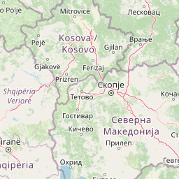
Detailed map boundaries, area measurements, and mountain landscape data for protected lands.
This geographic profile analyzes the structural composition of Bjeshkët e Nemuna National Park, spanning 630.28 square kilometers within the Districts of Peja and Gjakova in Kosovo. The park is characterized by expansive mountain terrain, reaching a peak elevation of 2656 meters at Gjeravicë, and features diverse alpine meadows, forested valleys, and springs.
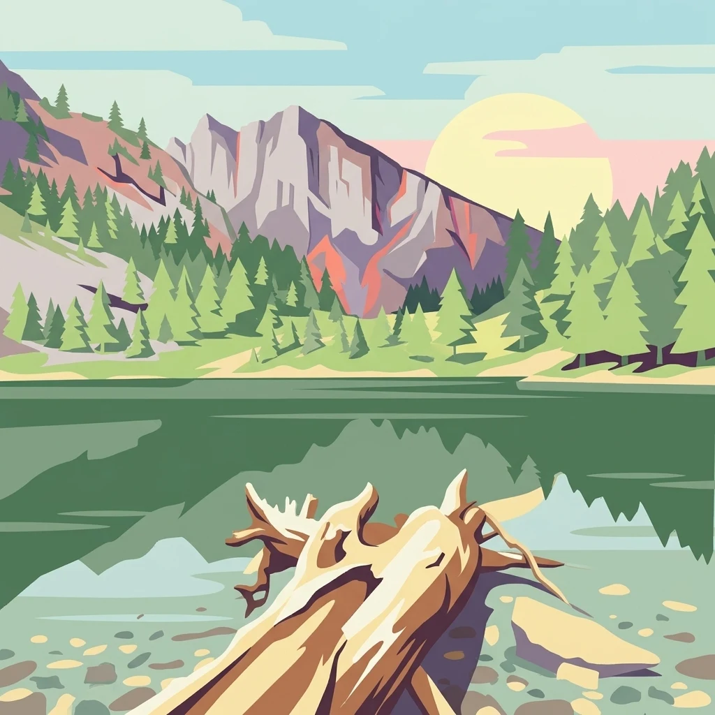
Kosovo's premier alpine wilderness in the Accursed Mountains
Bjeshkët e Nemuna National Park is Kosovo's largest protected area, established in December 2012 to safeguard one of the Balkans' most significant alpine ecosystems. Located in the western region of Kosovo, spanning the districts of Gjakovë and Pejë, the park encompasses 63,028 hectares of mountainous terrain within the legendary Accursed Mountains—the southernmost geological continuation of the Dinaric Alps. The park protects dense deciduous and coniferous forests, alpine meadows, and numerous glacial lakes, creating a complex mosaic of habitats across dramatic elevation gradients. It represents a critical conservation corridor in the region, bordering Valbonë Valley National Park in Albania to the south and forming part of a transboundary mountain ecosystem of international ecological significance. The International Union for Conservation of Nature (IUCN) has designated the park as Category II, recognizing its national importance, while BirdLife International has identified it as an Important Bird Area of international importance.
Regional territory and transboundary status across Kosovo districts
Mapping the spatial limits and 630.28 square kilometers of protected terrain
Mountain relief statistics and recorded natural features across the terrain
Peaks
2,656 m
Lakes
Streams
Mountain saddles
Lakes
Streams
Temperate climate zones, mountain relief, and forest cover classifications
Mountains · Forest · Valleys · Lakes · Grassland · Wetland
Temperate broadleaf forest · Temperate coniferous forest · Montane forest · Alpine meadow · Grassland · Wetland
Explore the surrounding alpine landscapes and transboundary conservation areas, tracing the regional spread of protected lands across the Balkans.
Southwest

Dramatic karst, glacial valleys, and high-altitude ecosystems await.
The Alps of Albania National Park offers an expansive view into one of the Balkans' most significant mountain protected areas. This national park encompasses a spectacular landscape characterized by towering limestone peaks, deep glacial valleys carved over millennia, and intricate karst formations like Grunas Canyon. Its pristine wilderness protects diverse high-altitude ecosystems and unique geological features, serving as a key destination for understanding regional geography and protected landscapes.
South
Glacial terrain and protected primeval forests in Kukës County
Gashi Valley represents a vital nature reserve and protected alpine landscape in the Albanian Alps. Characterized by its glacial history, the area contains rugged ridges, morainic lakes, and primeval beech forests that serve as a crucial benchmark for European broadleaf ecosystems. This site offers deep insight into the complex geology and ecological significance of the northeastern mountain regions in Albania.

Southwest
Rugged karstic relief and glacial mountain landscapes.
Discover the Accursed Mountains, a formidable high-mountain range in northern Albania known for its sheer limestone cliffs and profound glacial sculpting. This protected area provides a critical habitat for relict flora and fauna while maintaining one of the most intense relief profiles in the Balkans. Examine the mapped canyons, alpine cirques, and jagged ridges that shape this landmark range.
Northwest

Protected wilderness in the Bjelasica mountain range of central Montenegro
Biogradska Gora serves as a vital protected area in Montenegro, characterized by its sprawling Bjelasica ridges, six distinct glacial lakes, and primeval beech ecosystems. The park terrain offers an expansive look at Balkan high-mountain geography, ranging from deep forested valleys to alpine meadows and peaks exceeding 2,000 meters in elevation.
Northwest
Discover Montenegro's oldest national park with mapped terrain and regional geography.
Biogradska Gora National Park represents a critical protected area in Montenegro, celebrated for its exceptionally well-preserved ancient beech forest. This national park features a heterogeneous terrain of rolling hills and river valleys that create a unique natural setting. The dense, old-growth canopy offers an immersive experience of a primeval forest ecosystem, providing significant value for understanding Balkan nature and protected forest dynamics. Explore the mapped boundaries and discover the distinct landscape character that defines this remarkable natural reserve.
Northeast

Explore Balkan biodiversity and unique geographic terrain.
MoriAtlas presents Kopaonik National Park, a key protected area celebrated for its extraordinary endemic plant species and its distinctive mountainous geography. This national park safeguards a significant biodiversity hotspot within the Balkans, characterized by a prominent mountain plateau and peaks exceeding 2,000 meters. Discover the park's varied terrain, from forested slopes to subalpine meadows, and understand its role in regional natural landscapes. Utilize our map-based exploration tools to grasp Kopaonik National Park's protected boundaries and its unique place in geographic context.
Southeast

Explore glacial lakes, high peaks, and critical Balkan lynx habitat.
Šar Planina National Park is an expansive protected area in North Macedonia, defined by its striking alpine terrain and significant ecological value. The park safeguards a landscape featuring approximately 220 peaks over 2,000 meters and 29 permanent glacial lakes, known as 'Šar's Eyes.' This national park serves as a vital refuge for endangered wildlife, including the Balkan lynx, and offers a unique geographic context for understanding mountain wilderness and protected land distribution in the Balkan region. Its mapped boundaries encompass a rich biodiversity and a landscape shaped by glacial and fluvial processes.
Southeast

Explore its dramatic peaks and glacial terrain.
Sharr Mountains National Park in Kosovo is a prime example of dramatic alpine topography, featuring jagged peaks, steep glacial valleys, and clear evidence of ancient glacial shaping. This protected area safeguards critical ecosystems, including extensive old-growth forests and diverse alpine meadows, supporting notable wildlife conservation efforts. Its scenic ridgelines, glacial lakes, and mountain streams define the park's natural landscape, offering rich context for atlas-based geographic discovery within the Balkans.
Deepen your understanding of Bjeshkët e Nemuna National Park by continuing your exploration within its protected boundaries and surrounding terrain. Uncover the mapped landscape, its significant ecological gradients, and its role as a major alpine protected area in Kosovo. MoriAtlas provides the structured geographic data to navigate this and other significant natural regions.