Mori Atlas logo
Park earthquake history

Review recorded seismic events, epicentre distances, and magnitude metrics for this Baltic coastal landscape

Historical Earthquake Catalogue for Blå Jungfrun National Park and Surrounding Region

This historical catalogue provides a structured overview of seismic records associated with the geographic vicinity of Blå Jungfrun National Park. Every entry captures data points including event dates, magnitudes, depths, and epicentre locations relative to the park boundaries. The collection offers a clear, research-oriented resource for analyzing the seismic footprint within this unique Baltic Sea island area, ensuring clarity regarding historical events documented by geologic authorities.

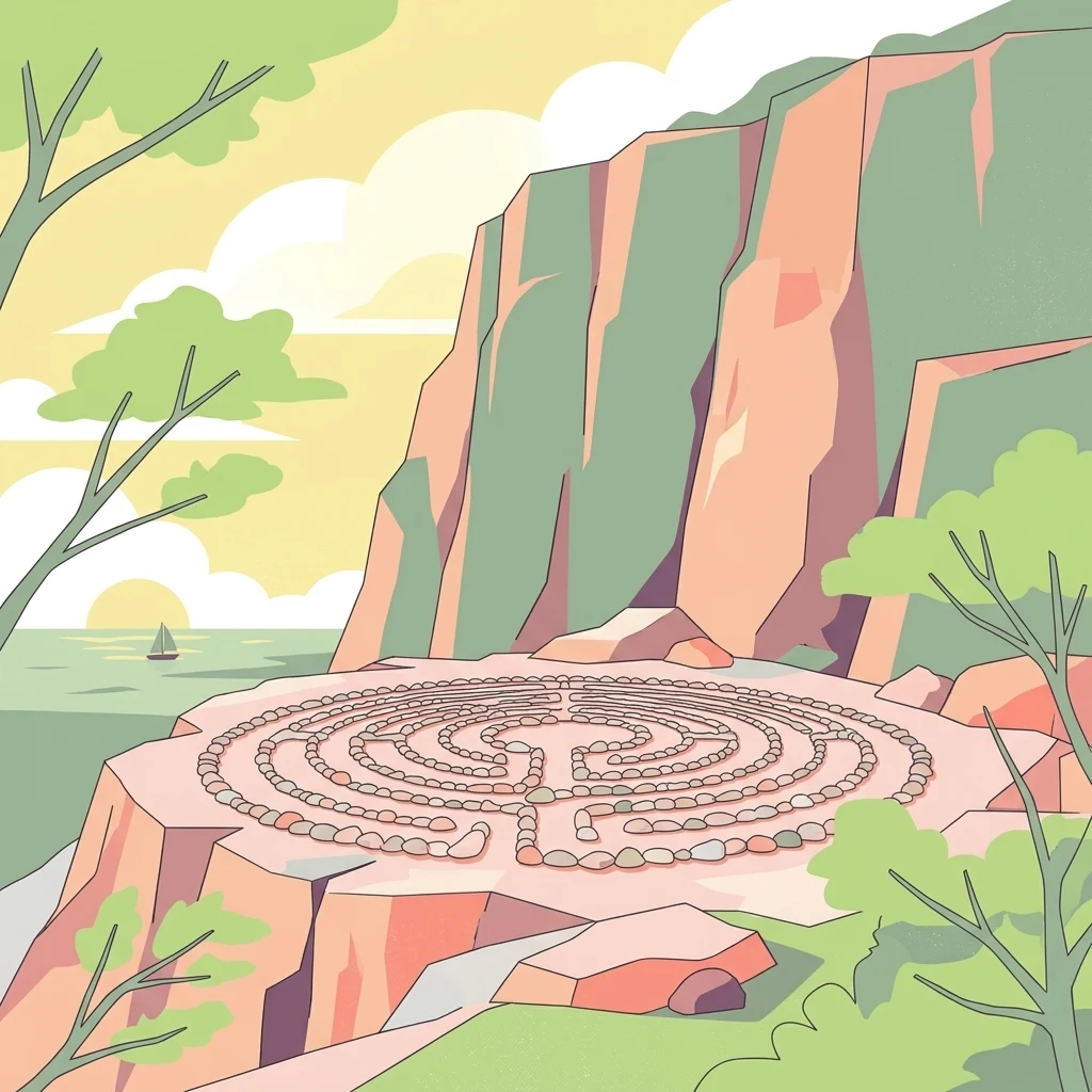
Illustration showing a stone maze on a rocky cliff overlooking water with trees and a sailboat in the background

A mystical Baltic island of blue-hued granite and rich birdlife

Blå Jungfrun National Park

Blå Jungfrun National Park is a nature reserve located on a small island in the Baltic Sea off the coast of Kalmar County in southeastern Sweden. The park encompasses the island itself and its surrounding marine waters, creating a unique coastal protected area known for its distinctive blue-tinted granite cliffs and rich biodiversity. The island's name, which translates from Swedish as "Blue Virgin," derives from the bluish hue that appears on the island's rocky surfaces when seen from the mainland, caused by the mineral glauconite in the granite. The park is recognized as one of Sweden's most distinctive coastal natural areas, combining unusual geological formations with important ecological habitats and cultural heritage elements including the ruins of an ancient church.

Location
Sweden
Park type
National park
Blå Jungfrun National Park Atlas

Trace Blå Jungfrun National Park records by date, magnitude, depth, and distance

Review earthquake catalogue entries near Blå Jungfrun National Park

Blå Jungfrun National Park’s collection relates reported epicentres to the Baltic island and surrounding protected waters by calculated distance, not by its blue-grey granite or coastal form. Each record retains its date, magnitude, depth, locality, source, and park distance for historical comparison without implying island effects, present conditions, or prediction.

Sort by
Magnitude
Location

This page describes catalogued earthquakes associated with the park by epicentre location and distance. It does not establish causation, assess current danger, or predict future earthquakes.

No earthquake records match the current filters

Park atlas

Broaden atlas discovery beyond the Blå Jungfrun National Park earthquake records

Explore further protected parks after Blå Jungfrun National Park

The atlas follows the Blå Jungfrun National Park earthquake catalogue with an independent set of protected destinations. Inclusion does not imply shared Swedish geography, island landscapes, granite geology, designation, earthquake data, nearby locations, seismic relevance, hazard, or risk.
Watercolor illustration of a lake surrounded by trees and hills
National parkKalmar County
90 km away#1 closest

Northwest

Norra Kvill National Park: Ancient Coniferous Forest Protected Landscape in Kalmar County

Discover its unique mapped terrain and natural forest heritage.

Norra Kvill National Park safeguards a remarkable old-growth coniferous forest ecosystem, a rarity in southern Sweden. This park is characterized by ancient pines, some dating back over 350 years, thriving on steep fault-formed terrain and amid boulder fields. Its protected status ensures the preservation of this unique natural landscape, providing invaluable insight into forest ecology and regional geography within Kalmar County. MoriAtlas offers a structured approach to understanding its mapped boundaries and ecological significance.

Area
1.14 km²
Established
1927
IUCN
II
Relief
Highland
Watercolor painting of a landscape featuring mountains, wetland, and forest
National parkJönköping County
165 km away#2 closest

West

Store Mosse National Park: Explore Sweden's Largest Bog Landscape & Protected Area

Detailed park map, geography, and peatland ecosystem context.

Delve into Store Mosse National Park, a significant protected landscape in Jönköping County, Sweden, celebrated for its vast peat bog, the largest south of Lapland. This page provides detailed geographic context, mapping its unique wetland terrain, interspersed lakes like Kävsjön, and surrounding pine forests. Understand the park's ecological importance as a Ramsar site and its place within the South Småland peneplain for structured natural area discovery.

Area
78.5 km²
Established
1982
IUCN
II
Relief
Lowland
Watercolor illustration showing a coastal landscape with green vegetation in the foreground, light-colored water or sand in the middle ground, and pastel sky colors in the background
National parkSweden
187 km away#3 closest

Northeast

Gotska Sandön National Park: Unique Baltic Island Protected Landscape & Dune Atlas

Mapped geography and ancient pine forests on a Swedish island.

Delve into Gotska Sandön National Park, a distinct national park encompassing an entire Baltic island renowned for its significant sand dune systems and ancient pine forests. This protected area showcases a rare sandy island ecosystem and a unique landscape shaped by coastal influences. MoriAtlas provides structured geographic context to understand the mapped boundaries and natural terrain of Gotska Sandön, highlighting its role as a vital protected natural landscape in the Scandinavian region.

Established
1963
IUCN
II
Scope
Terrestrial
Water
Minor water
Watercolor illustration of a forest landscape with rocks, trees, and distant hills
National parkSweden
204 km away#4 closest

Northwest

Tiveden National Park: Sweden's Protected Granite Landscape and Ancient Forest

Explore protected wilderness, fracture valleys, and geological heritage.

Tiveden National Park is a protected area in southern Sweden renowned for its ancient forests and rugged granite landscape. The park's terrain features deep fracture valleys, formed by ancient geological events, and stands as one of the last large remnants of older forest in the region. Discover the park's unique topography, mapped boundaries, and its significance as a protected natural landscape for atlas-based exploration.

Area
20.3 km²
Established
1983
IUCN
II
Relief
Mixed relief
National parkStockholm County
About 232 km away#5 closest

North

Tyresta National Park: Explore Protected Old-Growth Forest and Rift Valley Landscape

Stockholm County National Park, Sweden

Tyresta National Park stands as a crucial protected area, showcasing one of southern Sweden's largest expanses of old-growth coniferous forest, featuring trees up to 400 years old. Its distinctive rift valley terrain, lakes, and post-fire recovery zones offer a rich geographic profile for atlas exploration. Within Stockholm County, this national park provides essential context for understanding the preservation of ancient forest ecosystems and unique geological formations.

Area
20 km²
Established
1993
IUCN
II
Relief
Mixed relief
Watercolor illustration of a landscape with green hills, water, and vegetation
National parkSkåne County
234 km away#6 closest

Southwest

Stenshuvud National Park: Discover Skåne County's Distinctive Baltic Headland National Park

Explore broadleaf forests, heathlands, and panoramic coastal geography.

Stenshuvud National Park is a notable national park in Sweden's Skåne County, characterized by a prominent hill that rises 97 meters above the Baltic Sea. This protected landscape offers a rich diversity of habitats within a small area, including dense broadleaf forests, open heathlands, and coastal terrains. Its unique geographic position and varied ecosystems make it a key destination for exploring protected natural areas, mapped terrain, and regional landscape context within the MoriAtlas platform.

Area
3.9 km²
Established
1986
IUCN
II
Relief
Lowland
Watercolor illustration of a forest landscape with pink flowers, green trees, and a yellow sky
National parkÖrebro County
250 km away#7 closest

Northwest

Garphyttan National Park: Pioneer Protected Landscape and Historic Swedish Terrain

Explore meadows, forests, and historic geography in Örebro County.

Garphyttan National Park, established in 1909, is a testament to early Swedish nature conservation efforts. This protected landscape features rolling forested terrain and distinctive flower-rich meadows, maintained through traditional practices that highlight Sweden's cultural heritage. Located within Örebro County, the park offers valuable insights into regional geography and the formation of mapped protected areas, making it a key destination for understanding historical landscape preservation.

Area
1.11 km²
Established
1909
IUCN
II
Relief
Lowland
National parkSweden
255 km away#8 closest

Southwest

Söderåsen National Park: A Protected Ridge Landscape in Southern Sweden's Geography

Mapped protected area with varied terrain and dense forest cover.

Delve into the protected landscape of Söderåsen National Park, a national park in Southern Sweden distinguished by its unique ridge topography, steep slopes, and extensive forests. This site serves as a key point for atlas-based exploration of natural terrain and regional geography, offering a clear view of its mapped boundaries and ecological significance within the Southern Swedish highlands. Understand the character of this protected area and its place in the broader mapped landscape.

Established
2001
IUCN
II
Scope
Terrestrial
MoriAtlas Explorer

Continue exploring the Blå Jungfrun National Park's mapped protected landscape and regional geography

Deepen your understanding of Blå Jungfrun National Park by exploring its precise geographic setting and protected landscape features. MoriAtlas allows for detailed examination of the park's mapped boundaries and its role within the Baltic Sea's natural geography. Discover the specific terrain and unique characteristics that define this important Swedish national park.

Global natural geography