Mori Atlas logo
Park earthquake history

Review historical earthquake catalogue data associated with the park by epicentre proximity

Recorded Seismic Activity and Earthquake History Near Bulburin National Park in Queensland

Browse a comprehensive record of seismic events identified in the vicinity of Bulburin National Park. This catalogue provides indexed details for each event, including magnitude, focal depth, and calculated distance from the park boundaries. The data offers an analytical perspective on historical seismic patterns for this subtropical rainforest refuge in central Queensland, based on standardized regional geological records.

Related tags

subtropical rainforestcentral Queenslandnational parkprotected areaIUCN Category II

Central Queensland's largest subtropical rainforest remnant

Bulburin National Park

Bulburin National Park is a protected area in central Queensland, Australia, established in 2015. Located approximately 120 kilometers south of Gladstone and 40 kilometers southwest of Miriam Vale, the park preserves the largest remaining fragment of subtropical rainforest in central Queensland. This makes it a significant ecological refuge in a region where such forest ecosystems have been largely cleared for agricultural and pastoral development. The park is managed by the Queensland Parks and Wildlife Service and holds IUCN Category II designation as a national park.

Location
Australia
Park type
National park
Established
2015
Bulburin National Park protected landscape

Trace source-reported seismic observations around Bulburin’s lowland forest boundary

Search recorded earthquake history associated with Bulburin National Park

Examine earthquake observations associated by distance with Bulburin National Park, a lowland forest protected area in Australia; each record retains its reported date, magnitude, depth, locality, epicentre and source for spatial and chronological comparison. Missing park area data is not estimated, and proximity alone does not establish boundary occurrence, ecological impact, current hazard or future activity.

Sort by
Magnitude
Location

This page describes catalogued earthquakes associated with the park by epicentre location and distance. It does not establish causation, assess current danger, or predict future earthquakes.

No earthquake records match the current filters

Park atlas

Continue from Bulburin National Park earthquake records to broader discovery

Explore additional protected parks beyond Bulburin National Park

Continue from Bulburin National Park's earthquake history into an independent group of protected destinations; the source is a terrestrial lowland park in Australia with minor waters, forest, and broadleaf, tropical, and montane forest habitats, but no stored area. Those facts do not define the onward cards or imply shared park status, ecology, location, seismic evidence, hazard, or risk.
National parkQueensland
6.9 km away#1 closest

East

Warro National Park National Park: Queensland's Protected Landscape Geography

Explore mapped boundaries and regional context within Queensland.

Warro National Park stands as a significant protected area within Queensland, Australia, recognized for its national park status. This page provides a detailed view of its geographic identity, helping users understand its placement within the broader atlas of protected lands. Examine the park's role as a mapped landscape feature and its contribution to Queensland's regional geography, essential for any structured exploration of Australia's natural areas.

Area
60.32 km²
Established
2006
IUCN
II
Relief
Upland
National parkQueensland
About 8 km away#2 closest

North

Mount Colosseum National Park: Queensland's Premier Protected Landscape Discovery

Mapped natural terrain and regional geographic context.

Mount Colosseum National Park offers a detailed view into Australia's protected natural areas, specifically within the state of Queensland. This entry focuses on its identity as a national park, providing essential context for its mapped boundaries, surrounding regional geography, and the unique character of its natural landscape. It serves as a key reference for understanding the park's protected status and geographic significance.

Area
8.4 km²
Established
1977
IUCN
II
Relief
Mountain
National parkQueensland
8.2 km away#3 closest

Northwest

Castle Tower National Park: Queensland National Park with Granite Peaks and Woodland

Mapped terrain and protected landscape in the Gladstone Region.

Castle Tower National Park in Queensland represents a significant protected natural area characterized by striking granite peak formations and expansive eucalypt woodlands. Established in 1932, the park's rugged terrain, including Mount Stanley, offers a unique geographic perspective within Central Queensland. This national park provides an opportunity to explore its mapped boundaries and distinctive landscape context, distinguishing it as a notable protected area in the Gladstone Region.

Area
49.8 km²
Established
1932
IUCN
II
Relief
Mountain
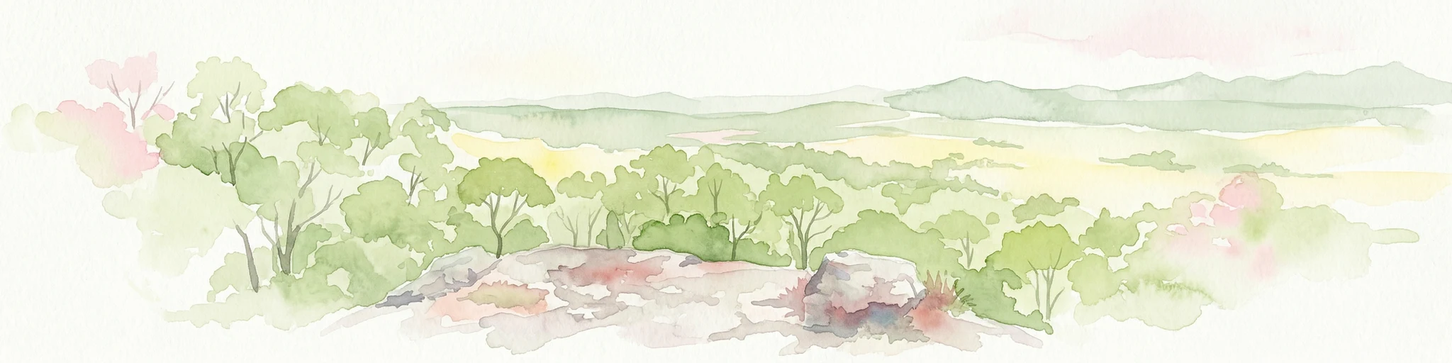
Watercolor illustration showing green trees and distant hills under a pastel sky
National parkQueensland
15 km away#4 closest

Northeast

Eurimbula National Park: Central Queensland's Diverse Coastal Protected Landscape

Explore mapped terrain and protected ecosystem boundaries.

Eurimbula National Park in Queensland is an exceptional example of a protected coastal wilderness, featuring a remarkable array of habitats including mangroves, littoral rainforests, and extensive paperbark wetlands. Its diverse landscape supports significant biodiversity and offers a clear representation of central Queensland's natural heritage. Understanding Eurimbula National Park's geography through its mapped protected area helps situate its ecological importance within the broader Australian atlas.

Area
125 km²
Established
1977
IUCN
II
Relief
Lowland
National parkQueensland
30 km away#5 closest

East

Littabella National Park: Queensland National Park Atlas and Geographic Context

Mapped protected area and natural landscape details.

Littabella National Park offers a distinct perspective on Queensland's protected areas. As a designated national park, its mapped boundaries and geographic setting are crucial for understanding Australia's conservation landscapes. Explore this entity for its regional context, mapped terrain features, and its role within the larger atlas of protected lands.

Area
83.8 km²
Established
1980
IUCN
II
Relief
Lowland
National parkQueensland
32 km away#6 closest

West

Kroombit Tops National Park: Protected Landscape and Queensland Geography Atlas

Explore mapped terrain and regional park context in Australia.

This entry for Kroombit Tops National Park details its role as a protected natural area within Queensland, Australia. Users can engage with its geographic setting, understand its mapped boundaries, and explore its place within the regional landscape. This resource supports discovery through an atlas lens, focusing on the park's specific terrain and its contribution to the broader protected areas of northeastern Australia. It is designed for users interested in the geographic identity and mapped context of natural conservation areas.

Area
74.6 km²
Established
1974
IUCN
II
Relief
Upland
Marine protected areaQueensland
33 km away#7 closest

Northwest

Great Barrier Reef Marine Park: Atlas and Geographic Context for Queensland Protected Waters

Exploring the reef system and marine conservation zones in northeastern Australia

The Great Barrier Reef Marine Park stands as an internationally significant marine protected area. By spanning a massive stretch of the Queensland coast, this protected landscape provides a critical framework for marine governance and reef conservation. Users can examine the unique zoning and distribution of coral reef habitats that define this extensive tropical ecosystem.

Area
343,966 km²
Established
1975
Climate
Tropical
Scope
Marine
National parkQueensland
34 km away#8 closest

North

Wild Cattle Island National Park: Queensland National Park and Protected Landscape Discovery

Mapped boundaries and regional geographic context for exploration.

Wild Cattle Island National Park, situated in Queensland, Australia, is identified as a national park focused on preserving its natural landscape. This page provides a detailed view of its protected area status and geographic placement within the broader Australian context. Users can explore the park's specific mapped boundaries and its relation to Queensland's diverse terrain, supporting structured discovery for those interested in protected lands and their regional atlas representation.

Area
5.8 km²
Established
1992
IUCN
II
Relief
Lowland
MoriAtlas Explorer

Continue Exploring Bulburin National Park's Mapped Protected Landscape

Delve deeper into the geographic context and protected area identity of Bulburin National Park. Understanding its mapped boundaries and role as a rainforest refuge provides critical insight into central Queensland's natural landscapes. Continue your exploration to grasp the full atlas significance of this unique protected area and its ecological importance.