Mori Atlas logo
Park earthquake history

A mapped catalogue of regional seismic events associated with the Butrint landscape.

Recorded Earthquake History and Historical Seismic Records for Butrint National Park

Explore an accessible database of historical earthquake records identified within the geographic vicinity of Butrint National Park. This collection tracks seismic events by their epicentre location relative to the park boundaries, offering researchers and geography enthusiasts a structured view of local earthquake activity. Each record includes precise data on occurrence dates, magnitude, and focal depth to support detailed environmental and regional analysis.

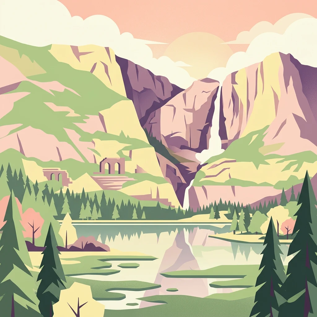
Illustration showing a mountainous landscape with waterfall, lake, pine forests, and ancient stone structures

Albania's coastal sanctuary blending ancient archaeology with Mediterranean wetlands and island ecosystems

Butrint National Park

Butrint National Park is a distinctive protected area in southern Albania where cultural heritage and natural ecosystems exist in remarkable symbiosis. Located along the Ionian Sea coast in Vlorë County, approximately 18 kilometres south of the coastal city of Sarandë, the park encompasses a complex landscape of freshwater lakes, coastal lagoons, salt marshes, reed beds, and islands centred around Lake Butrint and its connection to the sea through the Vivari Channel. What sets this park apart from most other European national parks is its dual mandate to protect both an extraordinarily rich archaeological site spanning from the Iron Age to the Byzantine period and the surrounding Mediterranean wetland ecosystems that support more than 1,200 animal and plant species. The ancient city of Butrint itself, with its preserved Roman theatre, Byzantine baptistery, medieval walls and Lion Gate, was inscribed as a UNESCO World Heritage Site in 1992, while the lagoonal systems received Ramsar Convention recognition in 2003 for their international wetland importance.

Location
Albania
Park type
National park
Established
2000
Area
94.2 km²
Butrint National Park Protected Landscape

Compare source records across Butrint’s lakes, wetlands, islands, marshes and cliffs

Examine earthquake observations around Butrint National Park

Search earthquake records around Butrint National Park, officially Parku Kombëtar i Butrintit, a 94.244 km² mixed lowland park with major water across lakes, wetlands, islands, marsh, rivers and cliffs; compare date, magnitude, depth, locality and park separation. Proximity does not establish boundary occurrence, wetland effects, current hazard, seismic cause or future events.

Sort by
Magnitude
Location

This page describes catalogued earthquakes associated with the park by epicentre location and distance. It does not establish causation, assess current danger, or predict future earthquakes.

No earthquake records match the current filters

Park atlas

Expand discovery from Butrint National Park earthquake history into the atlas

Find additional protected parks beyond Butrint National Park

Beyond the records associated with Butrint National Park, an independent set of protected destinations extends atlas exploration. The links do not establish shared Albanian geography, archaeological significance, protection status, earthquake observations, geology, proximity, seismic conditions, hazards, or risk.
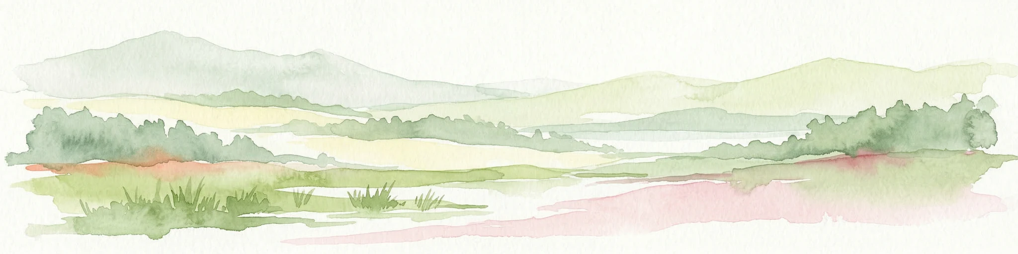
A soft, horizontal watercolor painting showing a serene landscape with a body of water in the foreground, surrounded by grasses and bushes, with rolling hills in the background.
Natural monumentVlorë County
About 17 km away#1 closest

Northeast

Blue Eye Natural Monument: Protected Karst Geography in Vlore County

A study of Albania's most prominent karst spring and woodland ecosystem.

The Blue Eye is a protected natural monument in southern Albania featuring a powerful, deep karst vent and vivid blue basin. This site acts as the headwater for the Bistrice River and supports a diverse forest ecosystem of oak and sycamore. The surrounding karst terrain and hydrology offer a focused look at the environmental geography of the Ionian watershed.

Area
1.8 km²
Established
1996
IUCN
III
Relief
Upland
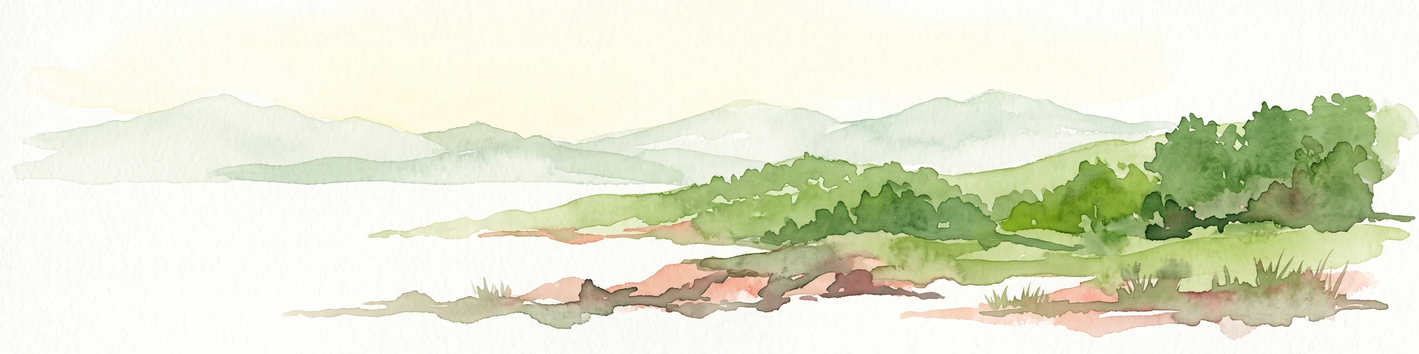
A soft watercolor painting of a coastal lagoon featuring dunes, grassy vegetation, and a distant treeline under a light sky.
Protected areaIonian Islands
About 27 km away#2 closest

South

Korission Lagoon Protected Area: Coastal Wetlands and Dune Geography in Corfu, Greece

A coastal landscape defined by sand dunes, freshwater, and juniper forests

Korission Lagoon represents a rare ecological convergence on the Ionian Islands, where a tall sand dune barrier separates a freshwater lagoon from the open sea. This protected area supports an intricate mosaic of reed beds and unique juniper woodlands, providing a crucial habitat for a vast array of bird species and endemic wildlife within the coastal plains of Corfu.

Area
4.27 km²
Relief
Lowland
Climate
Mediterranean
Access
Easy access
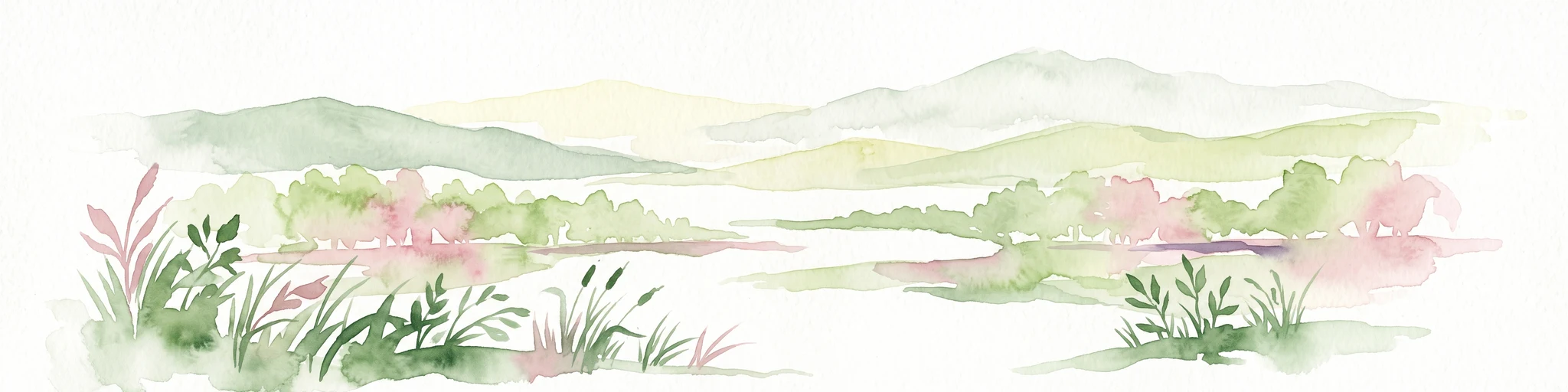
Watercolor painting showing a river valley with mountain ranges in the background and green fields
National parkGjirokastër County
About 47 km away#3 closest

North

Vjosa Wild River National Park: Europe's Pioneer Free-Flowing River Protected Area

Mapping dynamic canyons and vital river ecosystems in Gjirokastër County.

Vjosa Wild River National Park is recognized as Europe's first Wild River National Park, a groundbreaking designation protecting an entire river system from source to sea. This protected area in Gjirokastër County preserves remarkable topography, including dramatic canyons, natural rapids, and meandering islands, all shaped by the free flow of the Vjosa River and its tributaries. Explore the mapped boundaries and unique landscape context of this significant biodiversity hotspot, offering a crucial case study for river conservation and atlas discovery.

Area
127.27 km²
Established
2023
IUCN
II
Relief
Mixed relief
Watercolor painting depicting mountains, forests, and valleys
National parkVlorë County
About 57 km away#4 closest

Northwest

Llogara National Park: Vlorë County's Dramatic Ceraunian Mountain Protected Landscape

Explore Albania's rugged national park geography and mapped terrain.

Llogara National Park stands as a vital protected area within Vlorë County, Albania, renowned for its spectacular Ceraunian Mountain topography. This page provides access to detailed geographic information, highlighting the park's unique landscape characteristics, from alpine peaks to coastal vistas. Discover the mapped extent of this national park and its significance within the regional geography, perfect for structured atlas exploration.

Area
17.69 km²
Established
1966
IUCN
II
Relief
Mountain
National parkGreece
About 58 km away#5 closest

East

Vikos-Aoös National Park: Deepest Gorge and Protected Mountain Landscape Atlas

Discover protected area boundaries and regional geography in Epirus.

Vikos-Aoös National Park in Greece's Pindus mountains is a premier destination for exploring dramatic natural geography. Best known for the Vikos Gorge, considered the world's deepest canyon relative to its width, the park also features towering alpine peaks like Mount Tymphe, glacial lakes such as Drakolimni, and rich botanical diversity. As a UNESCO Geopark and part of the Natura 2000 network, it safeguards critical habitats, including significant brown bear populations. This park offers a profound look into protected landscapes, offering detailed geographic context and mapped terrain for atlas-based discovery.

Area
126 km²
Established
1973
IUCN
II
Visitors
100K annual
A watercolor painting showing a river winding through a mountainous gorge with a stone arch bridge on the right bank.
National parkEpirus
About 58 km away#6 closest

East

Northern Pindus National Park: A Geographic Survey of Mountain Landscapes in Epirus Greece

Mapped terrain, karst river gorges, and alpine forest ecosystems.

Northern Pindus National Park preserves an extensive mountain environment characterized by steep limestone ridges, the profound Vikos Gorge, and glacial lake basins. Located in the Pindus range of Epirus, this area offers deep insight into the intersection of geological processes, rare wildlife habitats, and traditional human settlements integrated into the mountainous terrain.

Area
157.4 km²
Established
2005
IUCN
II
Relief
Mountain
Watercolor painting of a landscape with green fields, scattered trees, and rolling hills under a light sky
National parkGjirokastër County
About 62 km away#7 closest

Northeast

Fir of Hotovë-Dangëlli National Park: Ancient Forests & Mountain Wilderness Atlas

Explore a premier protected landscape in Gjirokastër County, Albania.

Fir of Hotovë-Dangëlli National Park stands as a monumental protected area, celebrated for its exceptional old-growth Hotova Fir forests, which are a rare Mediterranean plant relic. This national park in Gjirokastër County offers a detailed look at a vast mountainous terrain, featuring dramatic canyons like Lengarica Canyon, and serving as a critical habitat for diverse wildlife. MoriAtlas provides structured geographic context for this significant landscape, highlighting its mapped boundaries and role as a key component of regional protected area networks.

Area
360.038 km²
Established
2008
IUCN
II
Relief
Mountain
A soft watercolor painting of a coastal landscape with green hills meeting a light, abstract water or shoreline, with faint mountains in the background.
Nature reserveVlorë County
About 79 km away#8 closest

Northwest

Karaburun Peninsula Nature Reserve: Mapping the Coastal Karst and Marine Landscapes

Protected rugged cliffs in Vlorë County, Albania

Karaburun Peninsula is a significant protected area defined by high limestone ridges and a heavily indented western shoreline. The terrain features numerous sea caves, historic bays, and prominent headlands that descend directly into the sea. As a vital nature reserve, it preserves the natural integrity of this mountainous coastal stretch within Vlorë County, offering a clear geographic overview of one of Albania's most remote wilderness areas.

Area
62 km²
Relief
Mountain
Climate
Mediterranean
Access
Moderate access
MoriAtlas Explorer

Continue Your Atlas Exploration of Butrint National Park's Geography and Landscapes

Delve deeper into the mapped terrain and protected boundaries of Butrint National Park. Understand its unique position within Vlorë County and its significance as a Mediterranean wetland and archaeological treasure. MoriAtlas provides the structured geographic context to appreciate how this remarkable landscape fits into the broader atlas of protected areas.