Mori Atlas logo
Park earthquake history

A structured examination of recorded seismic events and epicentre proximity for this mountainous landscape

Historical Earthquake Records and Recorded Seismic Activity Near Central Balkan National Park

This historical catalogue provides a factual overview of recorded seismic events associated with the geography of Central Balkan National Park. Each entry includes event timing, magnitude, and calculated proximity to the park boundaries based on USGS seismic data. The collection serves as an objective reference for understanding regional seismic activity relative to this protected mountain region without providing hazard assessments or predictive analysis.

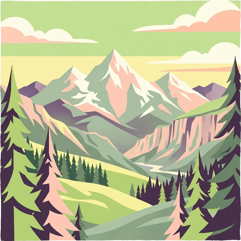
Illustration of a mountain range with snow-capped peaks, green valleys, and pine trees under a sky with clouds

Bulgaria's mountain heartland of ancient beech forests and dramatic alpine landscapes

Central Balkan National Park

Central Balkan National Park is one of Bulgaria's three national parks, situated in the heart of the Balkan Mountains (Stara Planina) in central Bulgaria. Established in 1991, the park spans approximately 717 square kilometers, making it the third-largest protected area in Bulgaria. The park encompasses the central and higher portions of the Balkan Range, with elevations ranging from about 550 meters near the town of Karlovo to 2,376 meters at Botev Peak, the highest summit in the entire mountain range. The park is distinguished by its exceptional biodiversity and preserved natural ecosystems. It lies within the Rodope montane mixed forests ecoregion of the Palearctic realm and contains nine nature reserves that cover nearly 28% of its total territory. The ancient beech forests within these reserves have been recognized as part of the Primeval Beech Forests of the Carpathians and Other Regions of Europe World Heritage Site since 2017. The park's forests cover about 56% of its area, with 97% being of natural origin. The landscape features dramatic alpine meadows, vertical rock faces, deep canyons, and numerous waterfalls, creating a distinctive mountain environment that supports remarkable biological diversity. Central Balkan National Park holds significant international conservation status. It is categorized as IUCN Category II (National Park) and has been designated as a UN Representative Protected Area. Several of its nature reserves are included in the UNESCO World Network of Biosphere Reserves, reflecting its importance as a model of sustainable nature conservation in Europe.

Location
Bulgaria
Park type
National park
Established
1991
Area
716.7 km²
Highest point
2,376 m
Central Balkan National Park Atlas

Examine epicentres around high peaks, valleys, and old-growth forest

Central Balkan National Park earthquake record collection

Earthquake reports associated with Central Balkan National Park are connected by their epicentre geography and measured separation from the mountain park, not by a blanket claim of boundary occurrence. The collection makes timing, magnitude, depth, locality, park distance, and source documentation available for comparing the regional historical evidence.

Sort by
Magnitude
Location

This page describes catalogued earthquakes associated with the park by epicentre location and distance. It does not establish causation, assess current danger, or predict future earthquakes.

No earthquake records match the current filters

Park atlas

Broaden discovery beyond Central Balkan National Park earthquake records

Explore additional protected parks after Central Balkan National Park

Continue from Bulgaria’s mountain forests to independently selected protected landscapes. These links are not comparisons in alpine ecology, geology, national park status, seismic exposure, geographic closeness, or documentation.
Watercolor painting of a mountainous landscape with a lake and green fields
National parkBulgaria
65 km away#1 closest

Southwest

Rila National Park: Bulgaria's Largest National Park with Alpine Terrain and Glacial Lakes

Explore mapped boundaries and protected landscape features.

Rila National Park, situated in Bulgaria's Rila mountain range, stands as the country's largest national park and a vital protected landscape. Its territory is characterized by dramatic glacial topography, including the iconic Seven Rila Lakes, and ascends to Musala Peak, the highest summit in the Balkan Peninsula. This atlas entry details the park's extensive mapped boundaries and unique ecosystems, emphasizing its importance for understanding regional geography and protected area networks.

Area
810.46 km²
Established
1992
IUCN
II
Relief
Mountain
Watercolor illustration of green mountains and a lake with trees
National parkBlagoevgrad Province
117 km away#2 closest

Southwest

Pirin National Park: Protected Area and Regional Geographic Context in Bulgaria

Explore Pirin National Park's mapped boundaries and landscape.

Pirin National Park serves as a vital national park entity within the atlas of Blagoevgrad Province, Bulgaria. This page details its protected landscape, offering a structured view of its geographic setting and mapped terrain. Users can investigate the park's specific identity and its relation to the surrounding regional geography, providing essential context for understanding protected areas and natural landscapes within a comprehensive map-driven framework.

Area
403.56 km²
Established
1962
IUCN
II
Relief
Mountain
Watercolor illustration showing mountains, river, and forested area
National parkGreece
About 134 km away#3 closest

South

Rodopi Mountain Range National Park: Greece's Largest Protected Forest Landscape Explorer

Mapped boundaries, old-growth ecosystems, and Balkan geography.

Rodopi Mountain Range National Park is a critical protected forest area in Greece, safeguarding one of Europe's last primeval forests, the Frakto Virgin Forest. As the nation's largest woodland conservation site, it showcases remarkable biodiversity and complex mountain terrain, from low-lying forests to subalpine meadows. This page provides detailed mapping context and geographic specifics for understanding this unique protected landscape and its ecological significance within the Rhodope Mountains.

Area
1,731.5 km²
Established
2009
IUCN
VI
Relief
Mountain
Watercolor illustration of rolling hills and a winding path with green and pink terrain
National parkSerbia
About 144 km away#4 closest

West

Stara Planina National Park: Serbia's expansive national park in the Balkan Mountains

Mapped protected landscape and regional geography discovery

Stara Planina National Park is a newly established national park in eastern Serbia, notable for its extensive mountain terrain and designation within the Balkan Mountains. This protected area features the distinctive Kopren plateau, Tupavica waterfall, and rugged landmarks, all contributing to its unique geographic identity. MoriAtlas provides a structured atlas view of Stara Planina National Park, detailing its protected boundaries and landscape context for comprehensive discovery.

Area
1,200 km²
Established
2022
IUCN
II
Relief
Mountain
Watercolor illustration of a lake surrounded by green hills and mountains with a pinkish rocky outcrop on the right
Protected areaSerbia
148 km away#5 closest

West

Vlasina Ramsar Wetland: Protected Area Atlas and Geographic Context in Serbia

Discover its mountain lake ecosystem and mapped natural landscape.

Vlasina Ramsar Wetland is a critical protected area in Serbia, notable for its high-altitude mountain lake and river ecosystem within the Rhodopian Mountains. This page details its mapped geographic boundaries, unique terrain, and protected landscape identity, offering users a focused atlas exploration of a significant natural site. Delve into the specific geography and conservation context that define this internationally recognized wetland.

Established
2007
IUCN
V
Relief
Mountain
Scope
Terrestrial
Watercolor painting of a wetland landscape featuring marshes, a river, and distant hills under a soft sky
Protected landscapeGiurgiu County
About 170 km away#6 closest

Northeast

Comana Natural Park: Protected Landscape Atlas and Regional Geography

Giurgiu County, Romania: Mapped protected area context.

Navigate the geographic features and protected landscape boundaries of Comana Natural Park, situated within Giurgiu County. This dedicated atlas entry provides a clear view of the park's mapped territory and its significance as a protected area, offering essential context for understanding its regional setting and natural terrain within Romania.

Area
249.63 km²
Established
2005
IUCN
V
Relief
Lowland
Watercolor painting depicting a river flowing through rolling hills with green and yellow tones
Protected landscapeSerbia
About 179 km away#7 closest

West

Sićevo Gorge Protected Landscape: Explore Serbia's Dramatic Karst Geography

Mapping the unique limestone cliffs and river valley terrain.

Delve into the atlas details of Sićevo Gorge, a protected landscape in Serbia defined by its spectacular limestone cliffs and the Nišava River canyon. This page provides a structured overview of its dramatic topography, intricate karst formations, and the regional geographic context. Understand the mapped boundaries and the unique geological character that makes this gorge a standout feature in Serbia's natural landscape.

IUCN
V
Scope
Terrestrial
Water
Minor water
Watercolor painting depicting a wide, soft-focus view of marshland, low-lying green vegetation, and distant purple mountains under a clear sky.
National parkEastern Macedonia and Thrace
About 182 km away#8 closest

South

Parc national de Macédoine-Orientale-et-Thrace: Wetland Atlas and Geographic Boundaries

Coastal lagoons and river delta protected landscapes

Gain insight into the ecological and geographic structure of Parc national de Macédoine-Orientale-et-Thrace. This protected area encompasses a complex mosaic of river deltas, shifting saline lagoons, and remnant riparian forests that anchor the natural landscape of Eastern Macedonia and Thrace.

Area
929.47 km²
Established
2008
IUCN
V
Relief
Lowland
MoriAtlas Explorer

Continue Atlas Exploration: Central Balkan National Park's Mapped Landscapes

Delve deeper into the geographic context of Central Balkan National Park, understanding its role as a protected landscape within Bulgaria's mountainous terrain. Use MoriAtlas to trace its mapped boundaries, discover its diverse natural features, and appreciate its significance as a major protected area. Continuing your exploration here offers a structured view into one of Europe's most ecologically valuable mountain environments.

Global natural geography