Mori Atlas logo
Protected landscapeSićevo Gorge

Discover the unique geography, karst formations, and protected landscape of this Serbian natural landmark.

Sićevo Gorge Protected Landscape: Mapping Serbia's Dramatic Limestone Canyon

Sićevo Gorge represents a significant protected landscape carved by the Nišava River through towering limestone cliffs in southeastern Serbia. This page offers an atlas-driven perspective on the gorge's dramatic topography, its intricate karst features, and the broad regional geography it inhabits. Users can explore the mapped boundaries of this protected area, understand its striking rock formations, and gain context for its place within Serbia's natural heritage.

gorgelimestone cliffskarst landscaperiver valleyhikingSoutheast Serbia
Stylized illustration showing a gorge with a winding river, tall limestone cliffs, and pine trees

Sićevo Gorge

Protected landscape

Park overview

Structured park overview, official facts, and landscape profile for Sićevo Gorge

Sićevo Gorge park facts, protected area profile, and essential visitor context
Review the core facts for Sićevo Gorge, including designation, size, terrain, visitor scale, habitats, and operating context in one park-focused overview.

About Sićevo Gorge

Sićevo Gorge represents a remarkable natural phenomenon in the Serbian landscape, where the persistent action of flowing water has carved an impressive canyon through ancient limestone bedrock. The gorge slice into a mountainous region east of Niš, creating a landscape of towering cliffs, narrow passages, and cascading waters that stands in contrast to the more gentle agricultural terrain surrounding it. The protection of this area reflects its dual significance as both a geological heritage site and a living ecosystem. The steep canyon walls expose layers of sedimentary rock that tell a story of marine environments and geological processes spanning millions of years. Visitors to the gorge can follow paths along the river and climb to viewpoints that offer sweeping perspectives of the dramatic terrain. The area maintains a sense of naturalness despite its proximity to populated areas, with the sounds of rushing water and bird calls providing an immersive wilderness experience within reach of Serbia's second-largest city.

Quick facts and research context for Sićevo Gorge

Sićevo Gorge is situated in eastern Serbia, approximately 15 kilometers southeast of the city of Niš, near the settlement of Sićevo. The Nišava River, a right tributary of the South Morava, has carved this impressive canyon through layers of limestone and dolomite over millions of years. The gorge stretches for several kilometers, with cliff faces reaching considerable heights and creating a dramatic mountain landscape. The area falls within a region characterized by Mediterranean and continental climate influences, supporting distinctive vegetation communities adapted to the rocky terrain and canyon microclimates.

Park context

Deeper park guide and search-rich context for Sićevo Gorge

Sićevo Gorge history, landscape, wildlife, and travel context
Explore Sićevo Gorge through its history, landscape character, ecosystems, wildlife, conservation priorities, cultural context, and seasonal travel timing in a structured park guide built for atlas discovery and search intent.

Why Sićevo Gorge stands out

Sićevo Gorge is best known for its spectacular limestone cliffs and canyon scenery, which rank among the most impressive in Serbia. The dramatic rock faces, vertical walls, and erosion-formed caves and rock shelters create a landscape of exceptional visual drama. The gorge is also recognized for its ecological diversity, with the combination of rocky habitats, river corridors, and forested slopes supporting a range of plant and animal species. The area has long attracted hikers, nature enthusiasts, and geologists who come to explore its trails and study its geological formations.

Aerial view of a river flowing through a gorge with steep limestone cliffs, a road with vehicles, and forested slopes
Scenic overlook of Sićevo Gorge with the Nišava River winding through limestone cliffs

Sićevo Gorge history and protected-area timeline

The Sićevo area has been inhabited since ancient times, with evidence of human presence in the gorge dating to various historical periods. The strategic value of the canyon, controlling passage along the Nišava River valley, made it significant for ancient and medieval civilizations that inhabited the Balkans. Local communities have long drawn resources from the surrounding landscape while adapting to the challenges and opportunities presented by the rugged terrain. The modern protection of Sićevo Gorge reflects a growing awareness in Serbia of the importance of preserving unique natural landscapes for future generations. Designation as a protected area has helped maintain the ecological integrity of the gorge while allowing continued public access for recreation and education.

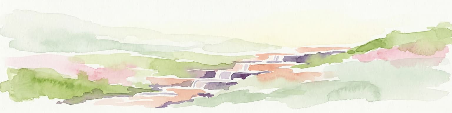
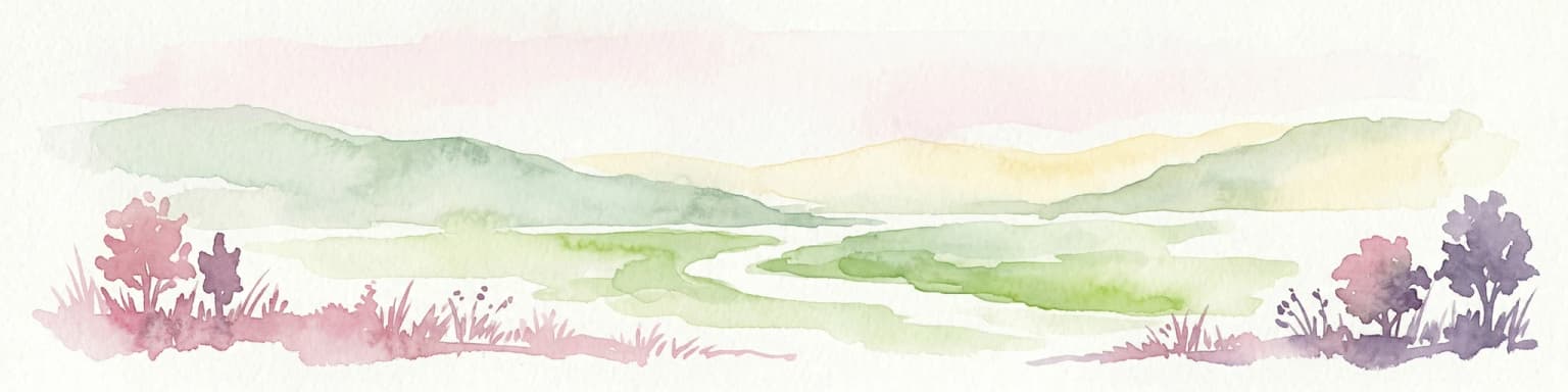
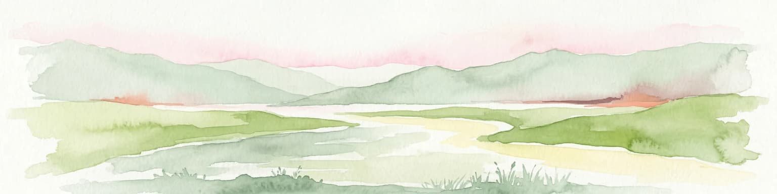
Sićevo Gorge landscape and geographic character

The landscape of Sićevo Gorge is defined by its dramatic limestone topography, where the Nišava River has cut a deep canyon through layers of sedimentary rock. Vertical and near-vertical cliff faces rise along the river course, their surfaces marked by erosion, weathering, and the formation of karst features including caves, sinkholes, and rock shelters. The canyon walls support patches of vegetation in crevices and on ledges, creating a pattern of green growth against the gray stone that is particularly striking in contrast. Rocky debris slopes accumulate at the base of cliffs, while the river itself flows over a bed of boulders and cobbles, creating riffles and small waterfalls. The surrounding terrain consists of rolling hills and agricultural land that provides context for the gorge's dramatic topography.

Wide landscape view of a forested valley with rolling hills and small settlements in the distance under a clear sky
Lush green valley view of Sićevo Gorge with small settlements visible among dense forests

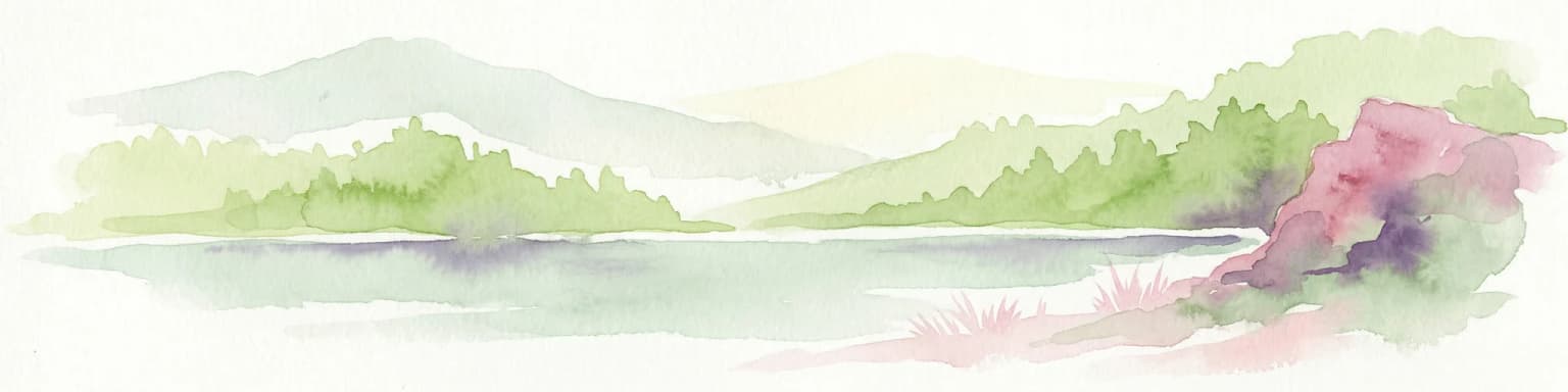
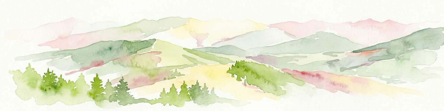
Sićevo Gorge ecosystems, habitats, and plant life

The nature of Sićevo Gorge reflects the interaction between geological, climatic, and biological processes that together create distinctive habitats within the canyon. The complex terrain generates varied microclimates, with south-facing slopes experiencing warmer, drier conditions while north-facing cliffs maintain cooler, more humid environments. This diversity supports a range of plant communities, from drought-resistant herbaceous vegetation on sunny rock faces to more lush growth in shaded areas and along the watercourse. The river corridor provides habitat for aquatic species and serves as a movement pathway for wildlife moving through the landscape. Birdlife is particularly notable, with species adapted to cliff habitats and river environments found in the gorge.

Road with guardrail and signpost in foreground, forested mountain range in background under clear blue sky
Lush forested mountains rise above the road in Sićevo Gorge, Serbia

Sićevo Gorge wildlife and species highlights

Sićevo Gorge provides habitat for a variety of bird species that have adapted to its cliff and canyon environments. Raptors soar on thermal currents rising from the canyon walls, using the elevated terrain as hunting grounds and nesting sites on ledges and in caves. The river and its banks support water-associated species, while the surrounding forests and scrub areas host passerines and other songbirds. The diverse insect fauna of the gorge includes numerous butterfly species and other invertebrates that thrive in the varied plant communities. The combination of rocky habitats, water features, and vegetation layers creates ecological conditions that support a more diverse wildlife community than might be expected in this region of the Balkans.

Purple flower with yellow center and dark stamens, green leaves with brown edges
Close-up of Ramonda serbica flower with purple petals and yellow center

Sićevo Gorge conservation status and protection priorities

The protection of Sićevo Gorge as a natural landmark reflects its significance as a representative example of karst canyon landscapes in Serbia. The protected area designation helps preserve both the geological features that make the gorge notable and the ecological communities that have adapted to its unique conditions. Conservation of the gorge also protects water quality in the Nišava River and maintains habitat connectivity for wildlife moving through the landscape. Educational and research value represents another dimension of the site's conservation importance, as the accessible canyon provides opportunities for studying geology, ecology, and natural history.

Sićevo Gorge cultural meaning and human context

The Sićevo Gorge area has been shaped by centuries of human presence, with the landscape influencing settlement patterns and land use in the Nišava River valley. Local communities have developed connections to the gorge through traditional activities including agriculture, pastoralism, and the use of natural resources. The dramatic scenery has inspired cultural expressions and local traditions that reflect the importance of the landscape in regional identity. The town of Sićevo itself takes its name from the gorge, indicating the long-standing relationship between the community and this distinctive natural landmark.

Limestone cliffs and forested slopes of Sićevo Gorge with Kunovica Plateau under clear blue sky.
South side of Sićevo Gorge and Kunovica Plateau on a clear day.

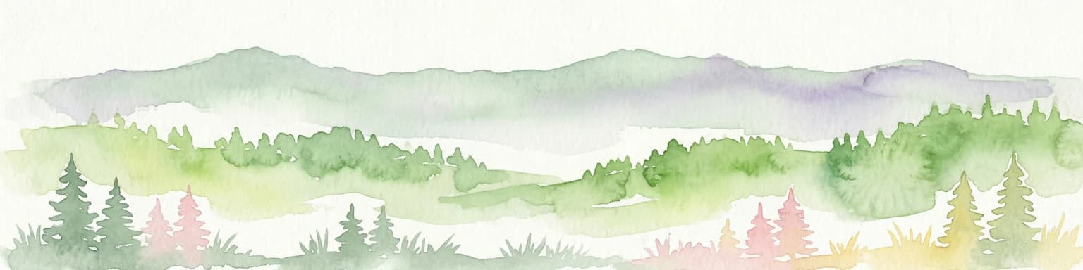
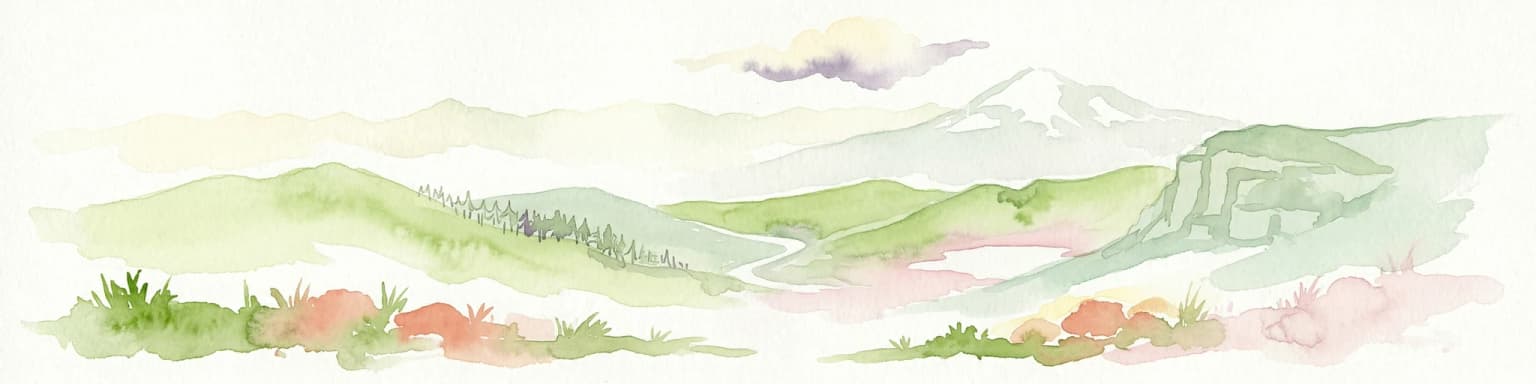
Top sights and standout views in Sićevo Gorge

The towering limestone cliffs of Sićevo Gorge stand as the most striking visual feature, their vertical faces reaching impressive heights above the winding Nišava River. Hiking trails follow the canyon floor and climb to elevated viewpoints that reveal the full scope of the gorge's dramatic topography. The interplay of light and shadow on the rock walls creates an ever-changing landscape throughout the day. The sounds of the river, birds, and wind in the canyon contribute to a sense of natural immersion despite the area's proximity to urban centers. The combination of geological spectacle, ecological diversity, and cultural history makes Sićevo Gorge a destination that offers more than just scenic views.

Highway with guardrails running through a mountainous landscape with snow-covered ground and distant mountain peaks under a clear sky
View of Suva Planina mountain range from highway

Best time to visit Sićevo Gorge

Sićevo Gorge can be visited throughout the year, though each season offers a different experience of the landscape. The gorge is most vibrant in spring and early summer when vegetation is lush and water flow in the river is typically strong following winter precipitation. Summer months bring warmer temperatures that make hiking comfortable but can also mean lower water levels in the river. Autumn offers another attractive season with changing foliage colors adding splashes of red and gold to the green vegetation. Winter visits provide a different character, with the stark rock formations taking on a more austere beauty, though trail conditions may be more challenging. The shoulder seasons often provide the most comfortable conditions for exploration.

Park location guide

Geography guide, regional context, and park location map for Sićevo Gorge

Sićevo Gorge park geography, regions, and map view in Serbia
Understand where Sićevo Gorge sits in Serbia through a broader geographic reading of the surrounding landscape, nearby location context, and its mapped position within the national park landscape.

How Sićevo Gorge fits into Serbia

Serbia is a landlocked country in Southeast and Central Europe, bordered by eight neighboring countries. With a population of approximately 6.6 million, it operates as a unitary parliamentary republic with Belgrade as its capital. The country has a rich history dating back to medieval statehood in the 7th century and has been independent since 2006 following the dissolution of Serbia and Montenegro.

Wider geography shaping Sićevo Gorge in Serbia

Serbia is a landlocked country in the Balkans, spanning parts of Southeast and Central Europe. It occupies a strategic position in the heart of the Balkan Peninsula, bordered by Hungary to the north, Romania to the northeast, Bulgaria to the southeast, North Macedonia to the south, Croatia to the northwest, Bosnia and Herzegovina to the west, and Montenegro to the southwest. The terrain varies from rolling plains in the north to mountainous regions in the south and east.

Map view of Sićevo Gorge

Use this park location map to pinpoint Sićevo Gorge in Serbia, understand its exact geographic position, and read its mapped placement within the surrounding landscape more clearly.

Pigeon | © OpenStreetMap contributors

Visualizing the unique karst formations, river corridors, and diverse habitats of this striking Serbian protected area

Sićevo Gorge Photos: Explore Limestone Cliffs and Dramatic Canyon Scenery
Browse a detailed visual collection of Sićevo Gorge, showcasing its dramatic limestone cliffs, deep canyon scenery, and the winding Nišava River. These images provide essential context for understanding the gorge's unique karst topography, diverse habitats, and overall protected-area environment, offering a clear visual reference of this significant Serbian natural landmark.

Aerial view of a river flowing through a gorge with steep limestone cliffs, a road with vehicles, and forested slopes

Two adder snakes on grass with patterned scales in natural setting

Wide landscape view of a forested valley with rolling hills and small settlements in the distance under a clear sky

Road with guardrail and signpost in foreground, forested mountain range in background under clear blue sky

Purple flower with yellow center and dark stamens, green leaves with brown edges

Map of Sićevo Gorge showing geographic layout with location markers for monasteries, villages, and towns including Niš, Niška Banja, and Bela Palanka

Limestone cliffs and forested slopes of Sićevo Gorge with Kunovica Plateau under clear blue sky.

Highway with guardrails running through a mountainous landscape with snow-covered ground and distant mountain peaks under a clear sky

A geographical map of the Sićevo Gorge area with place names marked in Serbian Cyrillic script, showing topographical features and nearby settlements including Niš and Bela Palanka

River flowing through dense forest with purple flowers in foreground

Aerial landscape view of Sićevo Gorge with mountainous terrain, a valley containing a village, and snow-capped peaks under a partly cloudy sky

Purple flowers with green leaves growing from a rocky cliff

White church with yellow-framed religious icons above the entrance, surrounded by greenery and hills

Panoramic view of Sićevo Gorge entrance showing the Nišava River, green hills, a winding road, and Prosek settlement with a red-roofed building

Yellow sign with Cyrillic text 'ПАРК ПРИРОДЕ СИЋЕВАЧКА КЛИСУРА' mounted on wooden structure, surrounded by green foliage

Wide view of Sićevo Gorge with lush green vegetation in the foreground, a river in the midground, and forested hills under a clear sky

Park atlas

Uncover regional park geography, compare protected landscapes, and trace karst formations near Sićevo Gorge.

Discover Nearby Protected Areas and Parks Surrounding Sićevo Gorge in Southeast Serbia
Explore protected areas and national parks geographically connected to Sićevo Gorge, tracing significant natural landmarks across eastern Serbia. This curated overview provides valuable geographic context, allowing you to compare diverse protected landscapes, river valleys, and karst terrain within a regional park atlas.
Watercolor illustration of rolling hills and a winding path with green and pink terrain
National park

Stara Planina National Park: Serbia's expansive national park in the Balkan Mountains

Mapped protected landscape and regional geography discovery

Stara Planina National Park is a newly established national park in eastern Serbia, notable for its extensive mountain terrain and designation within the Balkan Mountains. This protected area features the distinctive Kopren plateau, Tupavica waterfall, and rugged landmarks, all contributing to its unique geographic identity. MoriAtlas provides a structured atlas view of Stara Planina National Park, detailing its protected boundaries and landscape context for comprehensive discovery.

Area
1,200 km²
Established
2022
IUCN
II
Relief
Mountain
Watercolor illustration of a lake surrounded by green hills and mountains with a pinkish rocky outcrop on the right
Protected area

Vlasina Ramsar Wetland: Protected Area Atlas and Geographic Context in Serbia

Discover its mountain lake ecosystem and mapped natural landscape.

Vlasina Ramsar Wetland is a critical protected area in Serbia, notable for its high-altitude mountain lake and river ecosystem within the Rhodopian Mountains. This page details its mapped geographic boundaries, unique terrain, and protected landscape identity, offering users a focused atlas exploration of a significant natural site. Delve into the specific geography and conservation context that define this internationally recognized wetland.

Established
2007
IUCN
V
Relief
Mountain
Scope
Terrestrial
Watercolor illustration of mountainous landscape with forests and distant hills
National park

Kopaonik National Park: Serbia's Premier Protected Mountain Landscape

Explore Balkan biodiversity and unique geographic terrain.

MoriAtlas presents Kopaonik National Park, a key protected area celebrated for its extraordinary endemic plant species and its distinctive mountainous geography. This national park safeguards a significant biodiversity hotspot within the Balkans, characterized by a prominent mountain plateau and peaks exceeding 2,000 meters. Discover the park's varied terrain, from forested slopes to subalpine meadows, and understand its role in regional natural landscapes. Utilize our map-based exploration tools to grasp Kopaonik National Park's protected boundaries and its unique place in geographic context.

Area
118.1 km²
Established
1981
IUCN
II
Relief
Mountain
Watercolor illustration of a river flowing through a valley with rolling hills and trees
National park

Đerdap National Park: Europe's Grandest River Gorge and Protected Landscape

Explore Serbia's largest national park along the Danube River.

Đerdap National Park is defined by the Iron Gate, Europe's longest and most dramatic river gorge, a geological marvel carved through the Carpathian Mountains. This protected area showcases a complex karst landscape with towering cliffs, deep river sections, and rich biodiversity, including vital Tertiary relict species. The park's vastness and unique terrain offer a profound geographic context for understanding regional natural landscapes and conservation efforts. Explore its mapped boundaries and ecological significance.

Area
637.87 km²
Established
1974
IUCN
II
Relief
Mountain
Watercolor illustration of a river flowing through a valley with mountains in the background
Protected landscapeRomania

Iron Gates Natural Park: Explore Romania's Protected Landscape and Geographic Context

Detailed atlas view of a protected landscape in Romania.

Uncover the geographic dimensions of Iron Gates Natural Park, a protected landscape situated in Romania. This detailed entry offers an atlas-centric exploration of its mapped boundaries and regional setting, facilitating a deeper understanding of its protected status and landscape features within the national geography. Discover the park's intrinsic value through structured geographic data and visual map context.

Area
1,156.66 km²
Established
2000
IUCN
V
Relief
Mixed relief
Watercolor painting of rolling mountains with green forests and pastel-colored hills
National parkKosovo

Sharr Mountains National Park: Kosovo's Alpine Protected Landscape and Geographic Atlas

Explore its dramatic peaks and glacial terrain.

Sharr Mountains National Park in Kosovo is a prime example of dramatic alpine topography, featuring jagged peaks, steep glacial valleys, and clear evidence of ancient glacial shaping. This protected area safeguards critical ecosystems, including extensive old-growth forests and diverse alpine meadows, supporting notable wildlife conservation efforts. Its scenic ridgelines, glacial lakes, and mountain streams define the park's natural landscape, offering rich context for atlas-based geographic discovery within the Balkans.

IUCN
II
Relief
Mountain
Scope
Terrestrial
Watercolor illustration of mountainous landscape with rolling hills, green fields, and distant snow-capped peaks.
National park

Šar Planina National Park: North Macedonia's Premier Alpine Protected Landscape

Explore glacial lakes, high peaks, and critical Balkan lynx habitat.

Šar Planina National Park is an expansive protected area in North Macedonia, defined by its striking alpine terrain and significant ecological value. The park safeguards a landscape featuring approximately 220 peaks over 2,000 meters and 29 permanent glacial lakes, known as 'Šar's Eyes.' This national park serves as a vital refuge for endangered wildlife, including the Balkan lynx, and offers a unique geographic context for understanding mountain wilderness and protected land distribution in the Balkan region. Its mapped boundaries encompass a rich biodiversity and a landscape shaped by glacial and fluvial processes.

Area
627 km²
Established
2021
IUCN
II
Relief
Mountain
Watercolor illustration of a river flowing through a valley with mountains, greenery, and pink flowers
Protected landscape

Ovčar-Kablar Gorge Protected Landscape: Serbia's River Gorge and Monastery Atlas

Explore karst terrain, monastery sites, and mapped river meanders.

Ovčar-Kablar Gorge is a protected landscape in Serbia renowned for its dramatic karst geology and the West Morava river's pronounced meanders. This area offers a unique atlas perspective, highlighting over a dozen historic Serbian Orthodox monasteries nestled within the dramatic canyon setting. The protected landscape reveals a confluence of significant natural features, including karst cliffs and thermal springs, alongside centuries of spiritual heritage, making it a distinct point for geographic discovery and understanding Serbia's mapped natural and cultural resources.

Area
25 km²
Established
2001
IUCN
V
Relief
Mixed relief

Common questions about visiting, size, designation, and location context for Sićevo Gorge

Sićevo Gorge FAQs for park facts, access, geography, and protected area context
Find quick answers about Sićevo Gorge, including protected-area facts, park geography, trail and visitor context, and how the park fits into its surrounding country and regional landscape.
MoriAtlas Explorer

Continue Your Protected Areas Search Across the Global Atlas

Deepen your exploration by continuing the structured search for national parks and protected areas worldwide. Utilize the comprehensive filtering capabilities to compare different conservation landscapes and refine your understanding of global park geography. Discover more about the distribution and characteristics of protected natural areas.

Global natural geography