Mori Atlas logo
Nearby park discovery

Map protected-land geography around an old-growth river floodplain in South Carolina

Trace protected-area relationships around Congaree National Park across South Carolina's floodplain

Congaree National Park protects an exceptional old-growth bottomland hardwood forest on the low Congaree River floodplain, with towering canopy, bald cypress knees, water tupelo, sloughs, oxbow lakes, and ground reshaped by periodic flooding. Explore the regional protected map while keeping every neighboring forest, river, and wetland record separate.

Related tags

Old Growth ForestBottomland Hardwood ForestFloodplain EcosystemRamsar WetlandWilderness Area

Largest remaining old-growth bottomland hardwood forest in the United States

Congaree National Park

Congaree National Park is a 26,692-acre national park located in central South Carolina, approximately 18 miles southeast of Columbia. The park preserves the largest tract of old growth bottomland hardwood forest remaining in the United States, protecting a rare ecosystem that once dominated the river floodplains of the southeastern Atlantic coastal plain. The Congaree River flows through the park, creating a dynamic floodplain environment where periodic inundation shapes the distinctive character of the forest. The towering trees in this floodplain forest rank among the tallest in the eastern United States, forming one of the highest temperate deciduous forest canopies remaining anywhere in the world. The park's ecological significance extends beyond its impressive trees. It contains one of the largest concentrations of champion trees in the world, with the tallest known examples of 15 different species. Approximately 15,000 acres of the park are designated as wilderness area, providing protection for a Primeval landscape that has evolved largely undisturbed for centuries. The park also holds designation as a Ramsar Wetland of International Importance, a UNESCO biosphere reserve, and an Important Bird Area, reflecting its global ecological significance. Congaree National Park was established in 2003 following decades of grassroots conservation advocacy that began in the late 1960s. The campaign successfully transitioned the area from a national monument to a full national park, with expansion of the protected boundary. The park offers visitors primitive camping, hiking trails, paddling routes on Cedar Creek, and exceptional bird watching opportunities in a setting that feels remarkably wild despite its proximity to a major metropolitan area.

Location
United States of America
Park type
National park
Established
2003
Area
108 km²
Highest point
43 m
Congaree National Park Protected Landscape
Regional park map

See the ranked park cluster in its geographic setting

Nearby parks around Congaree National Park

This regional map shows the same 20 nearby parks ranked below around Congaree National Park. Select a ranked marker to highlight that park’s boundary where boundary data is available.
Reference park: Congaree National ParkRanked nearby parkSelected boundary: Congaree National Park20 nearby parks shown
20 nearby parks

Distance-ranked conservation lands and surrounding regional park geography

Parks and Protected Areas Geographically Near Congaree National Park

Geographic distance measurements establish a ranked index of protected areas surrounding Congaree National Park for structured regional comparison. Recorded environmental attributes and boundary coordinates reveal broader patterns across adjacent conservation landscapes.
Protected landscapeSouth Carolina
75 km away#1 closest

Northwest

Sumter National Forest: Mapping Protected Landscapes and Terrain in South Carolina

Bridging Piedmont forests and Appalachian mountain foothills

Sumter National Forest offers a study in geographic contrast, as its three districts span the transition from South Carolina Piedmont ridges to the rugged spurs of the Blue Ridge Mountains. This protected area features the Chattooga Wild and Scenic River corridor, expansive hardwood-conifer mosaics, and complex mountain watersheds. The forest provides a window into regional land restoration, where reclaimed farmland and mountain ridges now form a continuous network of protected natural terrain.

Area
1,500.98 km²
Established
1936
Relief
Mixed relief
Climate
Temperate
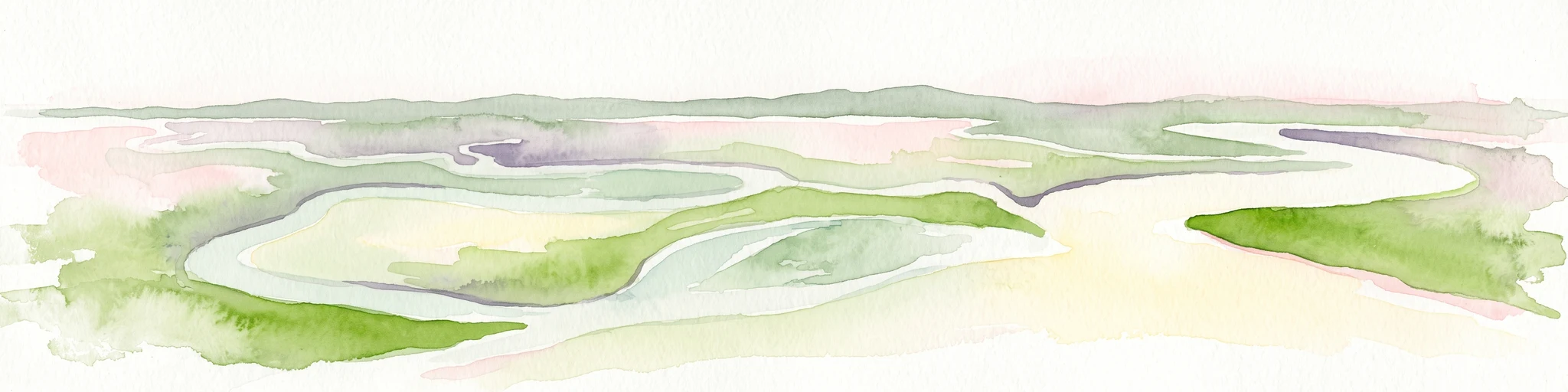
A minimalist watercolor painting showing a vast coastal marshland with meandering tidal creeks and green islands under a bright, open sky.
Nature reserveSouth Carolina
About 141 km away#2 closest

South

Ashepoo Combahee Edisto Basin National Estuarine Research Reserve: Mapped Protected Area

Coastal river convergence and tidal marsh geography

Spanning 140,000 acres of the South Carolina Lowcountry, this estuarine reserve protects a unique intersection of blackwater river systems and Atlantic coastal marshlands. The area provides a vital habitat for various species, where historic plantation lands, cypress swamps, and productive salt marshes form one of the largest undeveloped estuarine complexes on the United States eastern seaboard.

Area
570 km²
Relief
Lowland
Climate
Subtropical
Access
Access unknown
Watercolor painting of a winding trail through grassy hills with mountains in the background, using a soft pastel color palette of greens, purples, and yellows.
Protected landscapeNorth Carolina
226 km away#3 closest

Northwest

Pisgah National Forest: Protected Appalachian Mountain Geography and Regional Mapping

An extensive mountain forest in western North Carolina

Pisgah National Forest represents a major protected landscape in the southern Appalachian Mountains of North Carolina. Its diverse terrain includes high peaks above 6,000 feet, dense hardwood forests, and deep river gorges. Recognized as a historic center for professional forestry, the area protects extensive watersheds and wilderness zones, offering a detailed case study in Appalachian geography, conservation science, and rugged mountain topography.

Area
2,075.06 km²
Established
1916
Relief
Mountain
Climate
Temperate
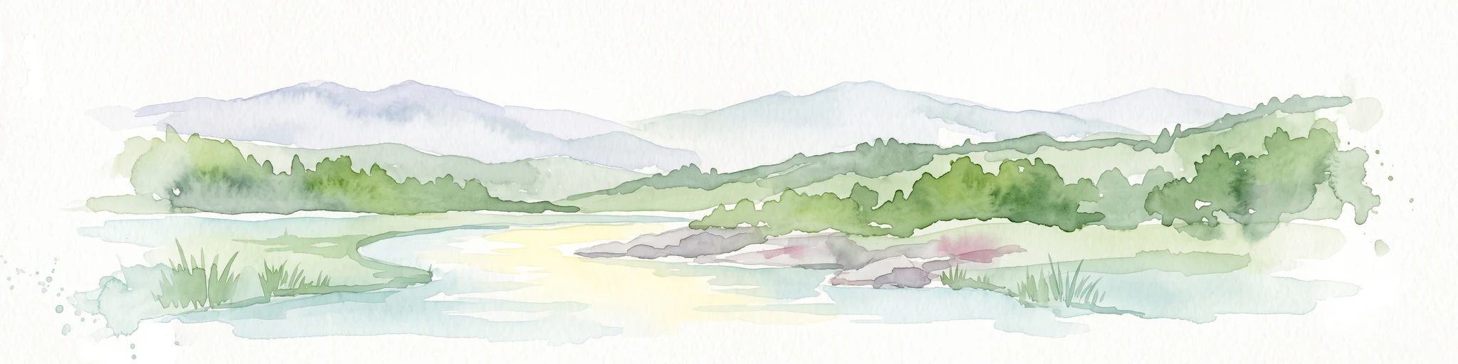
A horizontal watercolor painting depicting a soft green landscape with rolling hills, a meandering stream, and foreground grasses against a light white background.
Protected landscapeNorth Carolina
236 km away#4 closest

Northwest

Nantahala National Forest: Geographic Overview of Protected Appalachian Mountain Landscapes

Mapping deep river gorges and temperate rainforests in North Carolina

The Nantahala National Forest represents a significant conservation achievement, encompassing diverse southern Appalachian mountain terrain. The landscape features deep river gorges, ancient old-growth forests, and extensive networks of waterfalls. This overview provides mapped context on its vast wilderness areas, including Joyce Kilmer-Slickrock, and the long-distance trail corridors that traverse this temperate rainforest region.

Area
2,150 km²
Established
1920
Relief
Mountain
Climate
Temperate
A soft watercolor painting of a river flowing through a lush green valley with rolling mountains in the hazy background.
Wildlife reserveNorth Carolina
238 km away#5 closest

Northwest

Linville Gorge Wilderness: Rugged Canyon Geography and Protected Appalachian Forest

Historic wildlife reserve in North Carolina

Spanning over 10,000 acres, Linville Gorge Wilderness is defined by its steep cliff walls, vertical elevation drops, and an absence of road infrastructure. As one of the original areas designated under the Wilderness Act, this North Carolina landmark offers a unique look at undisturbed old-growth hardwoods and pine communities nestled within the dramatic peaks of the Blue Ridge Mountains.

Area
47.7 km²
Established
1964
IUCN
Ib
Relief
Mountain
A soft watercolor illustration depicting a winding river, a small waterfall over layered rocks, and distant rolling mountains in muted green, blue, and brown tones.
Wildlife reserveUnited States of America
239 km away#6 closest

Northwest

Ellicott Rock Wilderness: Geographic and Historic Protected Landscape Overview

A rare tri-state wilderness in the Southern Appalachian Mountains

Discover the mapped terrain of Ellicott Rock Wilderness, a protected area defined by its steep river gorges, dense cove forests, and unique position at the tripoint of three U.S. states. This wilderness area preserves the Chattooga River corridor and historic survey landmarks within the southern Blue Ridge Mountains, offering deep insight into the regional geography of the American southeast.

Area
33.48 km²
Established
1975
IUCN
Ib
Relief
Mountain
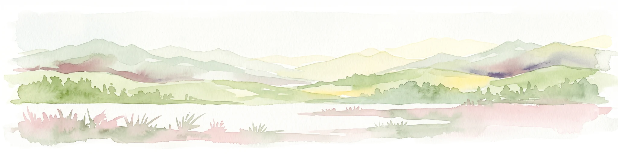
A pale, abstract watercolor painting depicting gentle, tree-covered mountain ridges against a white background.
Wildlife reserveNorth Carolina
248 km away#7 closest

Northwest

Middle Prong Wilderness: High-Elevation Appalachian Forest and Watershed Geography

Rugged ridges and headwaters in the Pisgah National Forest

Middle Prong Wilderness encompasses nearly 7,900 acres of protected southern Appalachian terrain. This rugged landscape, ranging from deep valley floors to wind-swept high-elevation ridges, serves as a vital protected corridor adjacent to Shining Rock Wilderness, showcasing a complex mosaic of hardwood and spruce-fir forest ecosystems within the Blue Ridge Mountains.

Area
32 km²
Established
1984
IUCN
Ib
Relief
Mountain
A horizontal watercolor illustration depicting a grassy shoreline with a single tree and distant rolling hills against a soft pale sky.
Nature reserveNorth Carolina
About 257 km away#8 closest

East

North Carolina National Estuarine Research Reserve: Mapped Protected Coastal Terrain

Coastal habitat and biogeographic research corridor

Spanning from Currituck Banks to Zeke's Island, the North Carolina National Estuarine Research Reserve preserves a diverse coastal mosaic. This protected area supports essential estuarine functions and provides critical habitat for numerous aquatic species, defining the complex intersection of land and sea in the southeastern United States.

Area
42.76 km²
Established
1985
Relief
Lowland
Climate
Subtropical
Marine protected areaGeorgia
258 km away#9 closest

South

Gray's Reef National Marine Sanctuary: Continental Shelf Geography and Reef Mapping

Submerged sandstone ridges and Atlantic marine habitat

Gray's Reef National Marine Sanctuary protects one of the largest near-shore live-bottom reefs in the southeastern United States. This submerged landscape consists of sandstone ledges rising above the sandy seafloor, fostering a unique three-dimensional habitat that supports a diverse range of marine invertebrates and fish species across its 22-square-mile protected boundary.

Area
57 km²
Established
1981
IUCN
IV
Relief
Lowland
National parkTennessee
279 km away#10 closest

Northwest

Great Smoky Mountains National Park: Exploring Its Protected Landscape and Regional Geography

Tennessee's premier national park, mapped for landscape discovery.

Delve into the protected area identity of Great Smoky Mountains National Park, a significant natural landmark within Tennessee. This page provides detailed context on its mountainous terrain, mapped ecological zones, and its foundational role in the broader geography of eastern North America. Understanding the park's specific protected landscape features and its geographic setting is essential for appreciating its unique conservation value.

Area
2,114.15 km²
Established
1934
IUCN
II
Visitors
12.2M annual
A pale, minimalist watercolor painting showing layers of soft green hills and a gentle stream against a white background.
Wildlife reserveGeorgia
286 km away#11 closest

West

Raven Cliffs Wilderness: Exploring the Appalachian Ridges and Protected Forest Landscapes

High-elevation wilderness area in northern Georgia.

Spanning steep ridges and narrow valleys, Raven Cliffs Wilderness represents a significant protected area within the Chattahoochee National Forest. The landscape transitions from high, exposed ridgelines to dense hardwood forest, offering a compact yet varied study in Appalachian mountain geography.

Area
36.89 km²
Established
1986
IUCN
Ib
Relief
Mountain
A pale, soft-focus watercolor painting showing a river with gentle banks and distant hills, with tree branches hanging in the top right corner.
Protected landscapeGeorgia
298 km away#12 closest

West

Chattahoochee River National Recreation Area: Protected Landscape Map and Regional Geography

River corridors, Piedmont forest, and historic tributary gorges

This protected landscape in northern Georgia preserves a vital 48-mile corridor along the Chattahoochee River. The terrain shifts from vertical palisade cliffs to wide shoals and forested tributary gorges, weaving through the metropolitan landscape of Atlanta. The area serves as a significant regional anchor for natural river ecosystems and historic industrial remnants.

Area
42.69 km²
Established
1978
IUCN
V
Visitors
3.5M annual
A soft watercolor painting of a coastal scene with sandy dunes, pine trees, and palmetto bushes against a pale, warm-toned sky.
Protected areaGeorgia
314 km away#13 closest

South

Cumberland Island National Seashore: Protected Barrier Island Geography and Mapping

A wild coastal landscape on the southeastern Georgia shoreline

Cumberland Island National Seashore stands as a significant protected area on the Atlantic coast, defined by its lack of paved roads and vehicle-free status. The geography spans a complex array of habitats, including maritime forests, tidal creeks, and salt marshes, anchored by historic estates. This protected landscape represents an essential case study in coastal barrier island ecology and preserved historic environments.

Area
147.368 km²
Established
1972
IUCN
II
Visitors
60.3K annual
Wildlife reserveGrayson County
314 km away#14 closest

North

Little Wilson Creek Wilderness: Protected Appalachian Forest and High Elevation Geography

Mapping the ridges, stream systems, and balds of Grayson County

Little Wilson Creek Wilderness is a significant protected area in southwestern Virginia, featuring elevations exceeding 4,800 feet. The region spans a diverse ecological landscape of rare high country bogs, northern hardwood forests, and old growth remnants that drain into the New River system. Gain insights into the terrain and boundaries of this prominent Blue Ridge Mountain wilderness.

Area
22.1 km²
Established
1984
IUCN
Ib
Relief
Mountain
Protected areaVirginia
316 km away#15 closest

North

Lewis Fork Wilderness: Geography and Protected Land Profile in Southwestern Virginia

High-elevation Appalachian backcountry and ridgeline mapping

Spanning the ridgelines near the summit of Mount Rogers, Lewis Fork Wilderness serves as a key ecological anchor for Virginia. This protected backcountry offers a dense mosaic of forest types, ranging from oak-hickory stands to rare spruce-fir habitats. The landscape features steep terrain and pristine mountain streams, providing a concentrated look at the environmental complexity of the southern Appalachian Mountains.

Area
24.59 km²
Established
1984
IUCN
Ib
Relief
Mountain
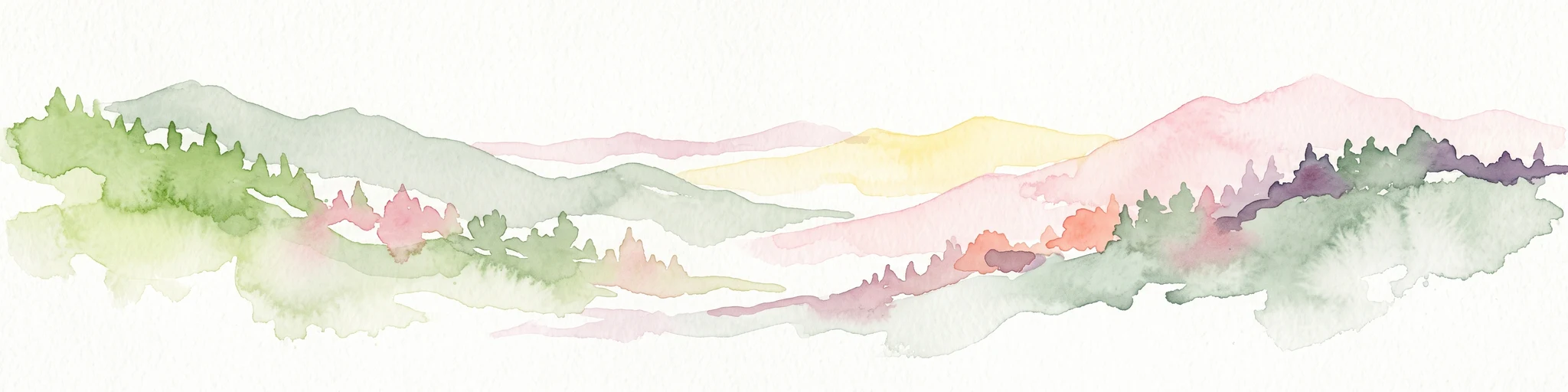
A soft, horizontal watercolor painting depicting layers of rolling mountain ridges and evergreen forests in shades of green, yellow, and light pink.
Protected landscapeVirginia
About 318 km away#16 closest

North

Mount Rogers National Recreation Area: Virginia Appalachian Highlands Protected Landscape

Mapping high-elevation ridgelines and wilderness corridors.

Located in southwestern Virginia, Mount Rogers National Recreation Area preserves a vast expanse of southern Appalachian mountain terrain. The landscape features spruce-fir forests, alpine-style balds, and deep valley watersheds. This protected area serves as a primary geographic anchor for hikers and conservationists, housing the highest peak in the state and extensive federally designated wilderness segments within its borders.

Area
626.52 km²
Established
1966
Relief
Mountain
Climate
Temperate
A soft watercolor illustration depicting a landscape of rolling hills and mountain silhouettes in shades of green, yellow, and faint red against a white background.
Protected landscapeGeorgia
About 320 km away#17 closest

West

Ed Jenkins National Recreation Area and Southern Appalachian Mountain Geography

Protected forested ridges and trail gateway in northern Georgia

Covering over 23,000 acres, this protected area features the iconic southern terminus of the Appalachian Trail at Springer Mountain. The unit preserves a dense tapestry of hardwood forests, rolling ridges, and spring-fed stream valleys, representing a core portion of the Blue Ridge mountain range's continuous landscape in northern Georgia.

Area
94.4 km²
Established
1991
Relief
Mountain
Climate
Temperate
Wildlife reserveVirginia
324 km away#18 closest

North

Raccoon Branch Wilderness: Mapping Protected Wildlife Reserves in Southwest Virginia

Rugged quartzite ridges and Appalachian stream corridors

The Raccoon Branch Wilderness represents a significant protected area within the Southern Blue Ridge mountains. Its geography is characterized by parallel ridgelines and deeply cut drainage channels that support rare plant communities and endangered aquatic life. This wilderness serves as a vital component of the regional Mount Rogers cluster, preserving a representative segment of Appalachian highland terrain.

Area
17.1 km²
Established
2009
IUCN
Ib
Relief
Mountain
A horizontal watercolor painting of rolling green hills, a winding path, and clusters of deciduous and coniferous trees.
Wildlife reserveWythe County
326 km away#19 closest

North

Little Dry Run Wilderness: Protected Wildlife Reserve Map and Geography

A detailed geographic study of southern Blue Ridge terrain.

Little Dry Run Wilderness is a protected mountain basin in Wythe County, marked by its dense hemlock-lined stream corridors and forested ridges. This record outlines the park boundaries, watershed structure, and the complex topography that characterizes this integral component of the Mount Rogers National Recreation Area.

Area
11.57 km²
Established
1984
IUCN
Ib
Relief
Mountain
A horizontal watercolor painting showing a soft, impressionistic landscape with mature trees in the foreground, rolling green hills in the midground, and faded purple mountain silhouettes in the distance against a white background.
Wildlife reserveNorth Carolina
327 km away#20 closest

Northwest

Joyce Kilmer-Slickrock Wilderness: Mapped Topography and Protected Forest Boundaries

Old-growth Appalachian wilderness in North Carolina

Analyze the dramatic valley-and-ridge geography of the Joyce Kilmer-Slickrock Wilderness. This protected area, encompassing the rare Joyce Kilmer Memorial Forest, serves as a vital reference for eastern forest conservation, featuring ancient hardwood groves and sweeping mountain vistas across the Unicoi range.

Area
70 km²
Established
1975
IUCN
Ib
Relief
Mountain
Distance methodology

Geographic measurements, not driving distances

How nearby park distances are calculated

Distances use park boundaries whenever the available geometry allows it. When one or both boundaries are missing, the mapped park locations provide a clearly labelled estimate. Every value represents straight-line geographic separation and does not use roads or routing.

Boundary distance

Calculated between the nearest points of both park boundaries.

Location-to-boundary estimate

Estimated from one mapped park location to the nearest boundary of the other park.

Mapped-location estimate

Estimated between the mapped locations of both parks.

MoriAtlas Explorer

Continue exploring the mapped geography and protected landscape of Congaree National Park

Delve deeper into the specific geography and mapped context of Congaree National Park. Understanding its protected landscape identity is key to exploring its regional significance and its place within the larger atlas of national parks. Discover the structured geographic details that define this unique South Carolina protected area.