Mori Atlas logo
Nearby park discovery

Map and explore the regional geography of protected lands surrounding this coastal peninsula.

National Parks and Protected Landscapes Near Curonian Spit National Park, Lithuania

Investigate the geographic distribution of national parks and protected areas located in the vicinity of Curonian Spit National Park. This regional overview highlights surrounding natural landscapes and protected boundaries to provide a clearer understanding of the terrain context across this Baltic coastal sector.

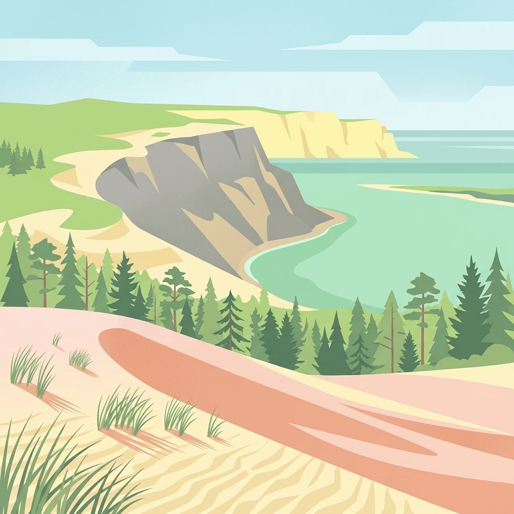
Illustration of sand dunes, pine forest, turquoise water, and coastal cliffs with green hills in the background.

A UNESCO-listed peninsula of shifting sand dunes, coastal forests, and Baltic Sea ecosystems

Curonian Spit National Park

Curonian Spit National Park is one of Lithuania's five national parks, established in 1991 to protect the exceptional natural and cultural values of the Curonian Spit—a narrow peninsula sandwiched between the Curonian Lagoon to the east and the Baltic Sea to the west. This 264-square-kilometer protected area encompasses dramatic sand dunes, coastal forests, wetlands, and marine environments that together form one of Europe's most distinctive coastal landscapes. The spit itself is a geological formation built from sand deposited by ocean currents over millennia, with wind-shaped dunes creating an ever-changing terrain. The park was designated a UNESCO World Heritage Site in 2000 and forms part of the European Union's Natura 2000 network, recognizing its outstanding universal value as a living cultural landscape.

Location
Lithuania
Park type
National park
Established
1991
Area
264.7 km²
Curonian Spit National Park Atlas
Regional park map

See the ranked park cluster in its geographic setting

Nearby parks around Curonian Spit National Park

This regional map shows the same 20 nearby parks ranked below around Curonian Spit National Park. Select a ranked marker to highlight that park’s boundary where boundary data is available.
Reference park: Curonian Spit National ParkRanked nearby parkSelected boundary: Curonian Spit National Park20 nearby parks shown
20 nearby parks

Distance-ranked regional park geography and surrounding protected landscapes

Parks and Protected Areas Geographically Near Curonian Spit National Park

Explore a ranked collection of protected areas measured by straight-line geographic separation from Curonian Spit National Park. Analyze surrounding regional park geography and recorded environmental traits to compare diverse conservation landscapes across the territory.
Watercolor painting of a coastal landscape featuring trees, birds, and soft pastel-colored hills
National parkKaliningrad Oblast
Park boundaries overlap#1 closest

Southwest

Curonian Spit National Park: Coastal Dunes and Baltic Protected Landscape

Explore a UNESCO World Heritage sand spit with unique terrain.

Curonian Spit National Park offers a remarkable study in coastal geography and protected landscapes, situated on one of the longest sand spits globally. This protected area within Russia's Kaliningrad Oblast features dynamic dune systems, distinctive forest formations, and serves as a vital corridor for migratory birds. Its UNESCO status underscores its international significance for natural heritage and landscape exploration, providing rich context for regional geography within the MoriAtlas platform.

Area
66 km²
Established
1987
IUCN
II
Relief
Lowland
Regional parkLithuania
Mapped location lies within the park boundary#2 closest

South

Nemunas Delta Regional Park: Mapping the Wetland Mosaic of the Lithuanian Coast

Explore the complex hydrology and floodplain geography of this Ramsar-listed regional park

Nemunas Delta Regional Park protects a unique river delta landscape shaped by seasonal floods and intricate water channels. Covering the lowlands where the Nemunas River reaches the Baltic Sea, the park is a primary site for ornithological research and wetland conservation, home to Rusnė Island and Lake Krokų Lanka. This protected area offers profound insight into coastal delta formation and the ecological importance of lowland floodplains.

Area
239.5 km²
Established
1992
Relief
Lowland
Climate
Temperate
National parkKaliningrad Oblast
About 18 km away#3 closest

Southwest

Curonian Spit National Park: Mapped Geography of Russia's Baltic Coastal Peninsula

Exploring the dune systems and coastal lagoon terrain

Curonian Spit National Park serves as a critical protected landscape located in Kaliningrad Oblast. Its geography includes active aeolian dune formations, ancient forest stands, and wetlands flanking the Curonian Lagoon. The park represents a vital intersection of geological history and international bird migration research within a narrow, fragile Baltic coastal environment.

Area
66.21 km²
Established
1987
IUCN
II
Visitors
1M annual
Watercolor painting showing rolling hills, a lake, and green forests under a soft sky
National parkLithuania
50 km away#4 closest

Northeast

Žemaitija National Park: Mapped Glacial Terrain and Samogitian Protected Landscape

Explore protected areas and natural geography in Northwestern Lithuania.

Žemaitija National Park is a protected natural reserve in Lithuania, defined by its distinctive glacially sculpted landscape. This park preserves over 217 square kilometers of hilly terrain, featuring significant lake systems like Lake Plateliai and substantial forest cover interspersed with wetlands. Users can explore the park's unique topographic character, its mapped geographic features, and its role as a vital protected area within the Samogitian region, offering a rich context for atlas-based discovery.

Area
217.54 km²
Established
1991
IUCN
II
Relief
Highland
Nature reserveWarmian-Masurian Voivodeship
About 114 km away#5 closest

South

Rezerwat przyrody Jezioro Siedmiu Wysp: Protected Wetland Geography and Map Overview

Wetland ecosystems in the Warmian-Masurian Voivodeship

Examine the geographic layout of Rezerwat przyrody Jezioro Siedmiu Wysp, encompassing Lake Oświn, the Oświnka River corridor, and extensive peat-forming marshes. This protected area offers insight into Masurian wetland dynamics, including the interplay between open water, meadow grazing by konik polski horses, and critical habitats for diverse waterfowl populations across the Polish border region.

Area
17.63 km²
Established
1956
Relief
Lowland
Climate
Temperate
Nature reserveAkmenė District Municipality
About 122 km away#6 closest

Northeast

Kamanų valstybinis gamtinis rezervatas: Mapped Bog Systems and Protected Forest Landscapes

Geographic reference and protected habitat in Akmenė District Municipality

Deepen your understanding of Kamanų valstybinis gamtinis rezervatas, an IUCN Category Ia protected area in Lithuania. Trace the boundaries of its iconic raised bog, mineral islands, and deep spruce woodlands that define this significant northern regional landscape.

Area
39.35 km²
Established
1979
IUCN
Ia
Relief
Lowland
Protected landscapeWarmian-Masurian Voivodeship
135 km away#7 closest

Southwest

Park Krajobrazowy Wysoczyzny Elbląskiej: Mapping Upland Terrain and Protected Forest Zones

Geography of a distinctive morainic plateau in northern Poland

Investigate the natural landscape of Park Krajobrazowy Wysoczyzny Elbląskiej, a protected area in the Warmian-Masurian Voivodeship. Focus on the interplay between stream valleys, morainic ridges, and rare plant communities. This mapping resource details the ecological significance of the upland terrain and its transition toward coastal lowland borders.

Area
137.32 km²
Established
1985
Relief
Upland
Climate
Temperate
Nature reserveWarmian-Masurian Voivodeship
About 138 km away#8 closest

South

Rezerwat przyrody Mokradła Żegockie: Nature Reserve Map and Protected Landscape Overview

Lowland marshland habitat in the Warmian-Masurian Voivodeship of Poland

This nature reserve preserves a shallow, boggy depression surrounded by agricultural plains. It is recognized for its bird-rich ecosystem, containing open water, reedbeds, and willow shrubs that returned after the collapse of historic drainage works. Use this atlas resource to understand the park's terrain, mapped boundaries, and environmental role within the local geography.

Area
0.336 km²
Established
1991
Relief
Lowland
Scope
Terrestrial
Nature reserveWarmian-Masurian Voivodeship
About 138 km away#9 closest

Southeast

Mechacz Wielki Nature Reserve: Geographic Records of Protected Peatlands in Northeastern Poland

Mapping the raised bog and forest ecosystems of the Romincka Forest.

Mechacz Wielki Nature Reserve represents a critical example of raised bog geography and peat-forming processes in Poland. This record details the reserve as a core feature of the Romincka Forest, focusing on its transition from open moss-dominated surfaces to complex boggy pine forests and wetland habitats. Gain insight into the regional landscape characteristics that shape this unique northeastern protected area.

Area
1.467 km²
Established
1974
Relief
Lowland
Scope
Terrestrial
Nature reserveWarmian-Masurian Voivodeship
About 141 km away#10 closest

Southwest

Rezerwat przyrody Dolina Stradanki: Protected Forest and River Valley Geography

Nature reserve within the Warmian-Masurian Voivodeship

Rezerwat przyrody Dolina Stradanki is a critical protected area in northern Poland, known for its intricate system of side valleys and mature beech forest. This reserve integrates hydrological and biological values, functioning as a key ecological unit within the Elbląg Upland Landscape Park. Explore the map of this glacial valley, which provides a high-quality habitat for diverse avifauna and protected flora.

Area
1.211 km²
Established
2006
Relief
Upland
Scope
Terrestrial
Protected landscapePoland
About 145 km away#11 closest

Southwest

Zalew Wiślany i Mierzeja Wiślana Protected Landscape and Vistula Coastal Geography

A coastal mosaic of lagoon waters, sand dunes, and bog forests

Understand the physical landscape of Zalew Wiślany i Mierzeja Wiślana, featuring an aquatic environment where three quarters of the territory consists of brackish water. Trace the geography of the Vistula Sandspit as it transitions through dune successions, pine-birch woodlands, and sensitive estuarine meadows along the Polish coast.

Area
408.623 km²
Relief
Lowland
Climate
Temperate
Scope
Mixed
Nature reserveWarmian-Masurian Voivodeship
About 149 km away#12 closest

South

Rezerwat przyrody Dębowo Nature Reserve: Geography and Forest Protected Area Overview

A preserved lowland beech woodland within the Warmian-Masurian Voivodeship

Rezerwat przyrody Dębowo stands as a vital representative of mixed lowland forest ecosystems at the eastern edge of their natural range. The reserve protects a complex, multi-layered canopy and a rich herb layer including species like the Martagon lily and wild garlic. By safeguarding these veteran beech stands, the site provides a primary reference for understanding forest development and biogeographical boundaries within the broader Mrągowski Lakeland landscape.

Area
0.258 km²
Established
1954
Relief
Lowland
Scope
Terrestrial
Nature reserveWarmian-Masurian Voivodeship
About 149 km away#13 closest

Southeast

Rezerwat przyrody Mazury Nature Reserve: A Protected Lake and Forest Landscape in Poland

Regional geography of the Ełk Lake District and Masurian water landscapes.

This nature reserve safeguards a 388-hectare water and forest mosaic in the Warmian-Masurian Voivodeship. It offers a detailed look at glacial lake ecosystems, forested islands on Lake Piłwąg, and mature mixed deciduous forest stands that represent the classic character of the Masurian landscape.

Area
3.887 km²
Established
1981
Relief
Lowland
Scope
Terrestrial
Protected landscapePodlaskie Voivodeship
About 163 km away#14 closest

Southeast

Suwalski Park Krajobrazowy: Glacial Terrain and Protected Landscape Atlas

Mapping the post-glacial geography of Podlaskie Voivodeship

Suwalski Park Krajobrazowy represents a highly distinct glacial environment within the Polish lowlands. Explore the distribution of its iconic morainic landforms, extensive boulder reserves, and the deep basin of Lake Hańcza. The park provides critical geographic context for understanding the interplay between ice-transported geology and local hydrological features in northeastern Poland.

Area
63.38 km²
Established
1976
Relief
Upland
Climate
Temperate
Nature reservePomeranian Voivodeship
About 164 km away#15 closest

Southwest

Rezerwat przyrody Mewia Łacha: Protected Coastal Geography and Vistula Estuary Map

Dynamic Baltic sandbars and migratory bird habitat in Pomerania

Rezerwat przyrody Mewia Łacha occupies a vital coastal strip where river discharge meets the Gulf of Gdańsk. This nature reserve serves as an essential site for migratory waterfowl and nesting terns, defined by its shifting sandbars, dune slacks, and brackish pools. It stands as a key example of the varied estuarine geography found within the Pomeranian Voivodeship.

Area
1.505 km²
Established
1991
Relief
Lowland
Climate
Temperate
Nature reservePomeranian Voivodeship
About 171 km away#16 closest

Southwest

Mechelińskie Łąki Nature Reserve: Coastal Geography and Protected Baltic Wetland Atlas

Pomeranian Voivodeship coastal dune and marsh landscape exploration

Investigate the protected topography of Mechelińskie Łąki Nature Reserve, where saline meadows meet the Baltic shoreline of Puck Bay. This faunistic reserve preserves an essential mosaic of dunes, marshes, and reedbeds in northern Poland, serving as a significant habitat for nesting shorebirds and rare amphibian species within the Pomeranian Voivodeship.

Area
1.135 km²
Established
2000
Relief
Lowland
Climate
Temperate
Protected areaWarmian-Masurian Voivodeship
175 km away#17 closest

South

Puszcza Napiwodzko-Ramucka Protected Forest and Glacial Geography in Northeast Poland

An expansive lowland wilderness featuring unique sinkhole terrain.

Spanning over 117,000 hectares, Puszcza Napiwodzko-Ramucka stands as a massive pine-dominated forest complex in the Warmian-Masurian Voivodeship. The terrain is a masterclass in glacial history, defined by sandr plains, moraine hills, and a dense network of post-glacial lakes. This protected area functions as a critical sanctuary for raptor species and large mammals, while its distinct geology, marked by active suffosion processes, distinguishes it as a key subject for landscape-level study.

Area
1,173.2 km²
Relief
Lowland
Climate
Temperate
Access
Access unknown
Protected areaPomeranian Voivodeship
About 175 km away#18 closest

Southwest

Twierdza Wisłoujście Protected Area: Coastal Geography and Historical Mapping in Gdańsk

A historic Baltic fortification and vital ecological site in Pomeranian Voivodeship.

Explore the layered masonry and water-influenced landscape of Twierdza Wisłoujście, a coastal fortress established on the delta of the Vistula River. This site bridges the history of maritime defense and modern ecological conservation as a designated Natura 2000 area. Examine how shifting river channels and centuries of construction define the current defensive perimeters and moated surroundings within the Pomeranian Voivodeship.

Established
1482
Relief
Lowland
Climate
Temperate
Access
Easy access
Nature reservePomeranian Voivodeship
About 179 km away#19 closest

Southwest

Kacze Łęgi Nature Reserve: Mapped Protected Woodland and River Valley Geography

Riparian floodplain forest in the Pomeranian Voivodeship of Poland

Kacze Łęgi functions as a crucial nature reserve that maintains an unusually well-preserved fragment of elm and alder floodplain forest. Nestled along the Kacza River valley in Gdynia, this site offers a concentrated look at the original vegetation of Baltic river valleys. It remains a key component of the regional protected landscape, providing a deep study of moisture-loving woodland within the larger context of the Pomeranian coastal lowlands.

Area
0.09 km²
Established
1983
Relief
Lowland
Scope
Terrestrial
Biosphere reserveKauno rajonas
About 180 km away#20 closest

East

Babtų-Varluvos miškų biosferos poligonas: Protected Forest Landscapes and Geographic Mapping

Essential woodland corridors in Kaunas district, Lithuania

Babtų-Varluvos miškų biosferos poligonas functions as a significant biosphere reserve focused on mature lowland forest conservation. This protected area offers a look at continuous woodland structures, research-focused biodiversity monitoring, and the spatial significance of forest corridors within central Lithuanian geography.

Area
44.19 km²
Established
2004
IUCN
VI
Relief
Lowland
Distance methodology

Geographic measurements, not driving distances

How nearby park distances are calculated

Distances use park boundaries whenever the available geometry allows it. When one or both boundaries are missing, the mapped park locations provide a clearly labelled estimate. Every value represents straight-line geographic separation and does not use roads or routing.

Boundary distance

Calculated between the nearest points of both park boundaries.

Location-to-boundary estimate

Estimated from one mapped park location to the nearest boundary of the other park.

Mapped-location estimate

Estimated between the mapped locations of both parks.

MoriAtlas Explorer

Continue Exploring the Geography and Mapped Boundaries of Curonian Spit National Park

Deepen your understanding of the coastal environment within Curonian Spit National Park by reviewing detailed maps of its dunes, forests, and lagoon interfaces. MoriAtlas provides a structured look at the protected terrain and regional geography defining this unique Lithuanian national park landscape.

Global natural geography