Mori Atlas logo
Park geography

Detailed terrain analysis, administrative regional coverage, and landscape classifications

Dovrefjell–Sunndalsfjella National Park: geography

Location: Innlandet, Norway. Recorded area: 1,693 km².

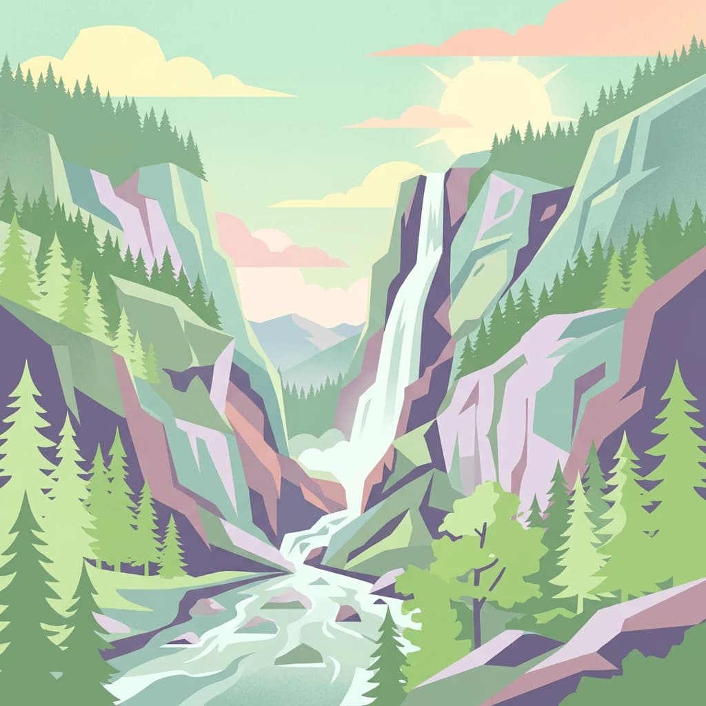
Stylized illustration of a mountain landscape featuring a waterfall, river, and forested slopes

Norway's premier alpine wilderness protecting the last wild Fennoscandian reindeer

Dovrefjell, Sunndalsfjella National Park

Dovrefjell–Sunndalsfjella National Park is Norway's largest mountain national park, established in 2002 through the expansion of the original Dovrefjell National Park from 1974. The park spans 1,693 square kilometres across three Norwegian counties—Innlandet, Trøndelag, and Møre og Romsdal—encompassing the dramatic Dovrefjell mountain range along with the Sunndalsfjella peaks. This protected area represents one of Scandinavia's most significant alpine wilderness regions, preserving a largely untouched mountain ecosystem with remarkable ecological and geological value. The landscape is characterized by rugged peaks, deep valleys, glacial formations, and the famous Snøhetta, the park's highest summit at 2,286 metres.

Location
Norway
Park type
National park
Established
2002
Area
1,693 km²
Highest point
2,286 m
Dovrefjell–Sunndalsfjella National Park Protected Landscape
Location overview

Mapping the park boundaries across three distinct regions in Norway

Geographic Profile of Dovrefjell, Sunndalsfjella National Park

Dovrefjell, Sunndalsfjella National Park is situated in Norway, spanning Møre og Romsdal, Innlandet, and Trøndelag. The protected area is a non-coastal inland reserve located entirely within a single country.
Countries
Norway
Regions
Innlandet, Møre og Romsdal, Trøndelag
Primary location
Innlandet
Geographic setting
Inland
Boundary and coordinates

Map boundaries and spatial dimensions spanning 1693 square kilometers

Dovrefjell, Sunndalsfjella National Park Boundary Map and Geographic Limits

Interactive geometry outlines the spatial extent of Dovrefjell, Sunndalsfjella National Park. Mapped coordinates establish the regional footprint alongside calculated area metrics, center points, and span limits.
Boundary area
1,827.4 km²
Boundary perimeter
356.7 km
Northernmost point
62.6518° N
Southernmost point
62.1348° N
Easternmost point
9.7785° E
Westernmost point
8.5172° E
Geographic centre
62.3815° N, 9.1162° E
North–south span
57.6 km
East–west span
65.2 km
Dovrefjell-Sunndalsfjella nasjonalpark
Elevation and terrain

Mountain relief profile and recorded natural formations

Dovrefjell Sunndalsfjella National Park Elevation and Terrain Features

Recorded elevation data reveals a peak height of 2286 meters across the mountain terrain. Associated cards detail names, types, and spatial relationships for interior natural features.
Maximum elevation
2,286 m
Highest point
2,286 m

Selected named natural features

Hills

Skrabbelhøe

1,724 m

Streams

Indre Tverråa

Ridges

Geitådalsbrun

Peaks

Snøhetta

2,286 m

Streams

Skåkbekken

Streams

Søre Grøve

Environmental setting

Alpine habitats, boreal zones, and mountain relief profiles

Dovrefjell–Sunndalsfjella National Park Environmental Classifications

Recorded landscape features and habitat types provide complementary ways to read the physical setting of Dovrefjell–Sunndalsfjella National Park. Structured categories connect recorded environmental properties directly to relevant atlas destinations.
Relief
Mountain
Climate
Boreal
Water
Major water bodies
Seasonality
Year-round

Landscape features

Mountains · Valleys · Rivers · Waterfalls · Glacier

Habitat types

Alpine meadow · Boreal forest · Montane forest · Riverine habitat · Wetland

Park atlas

Trace the Alpine Protected Landscapes of Innlandet County and Adjacent Regions
Explore Other National Parks and Protected Areas Near Dovrefjell–Sunndalsfjella

Browse a curated list of national parks and protected areas geographically relevant to Dovrefjell–Sunndalsfjella National Park, encompassing Norway's central mountain ranges. Compare these conservation landscapes to understand their regional context, mapped terrain features, and broader protected status across Innlandet and surrounding Nordic alpine zones.
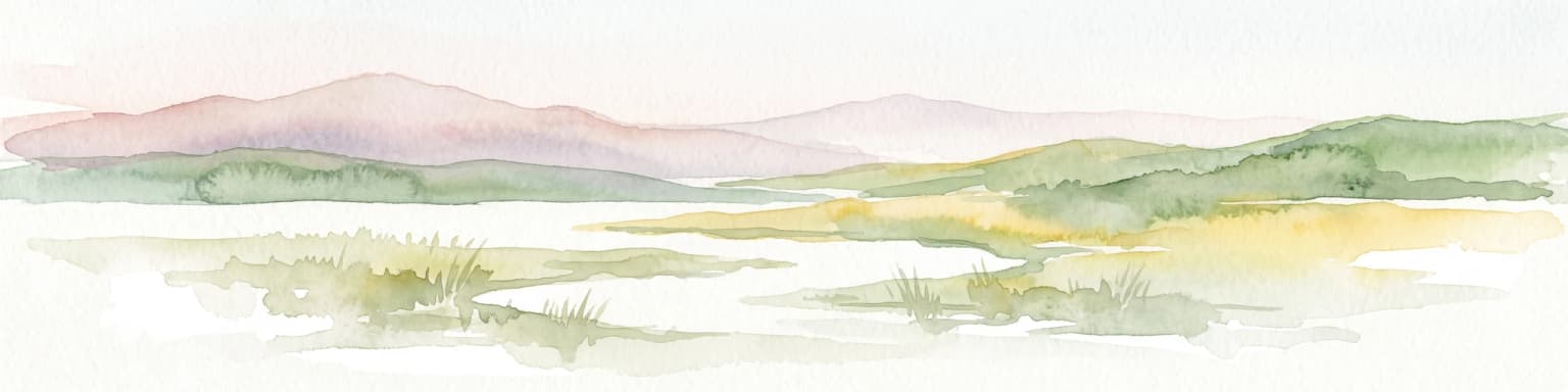
A soft watercolor painting depicting a wide, open mountain landscape with rolling green hills, muted yellow foreground vegetation, and pale purple mountain ridges in the distance.
Protected landscapeInnlandet
About 7.4 km away#1 closest

South

Fokstugu landskapsvernområde: Alpine Protected Landscape and Regional Ecological Corridor

A vital bridge for mountain migration in Innlandet, Norway.

Fokstugu landskapsvernområde protects a unique mix of alpine terrain, geological formations, and cultural mountain heritage across the Dovrefjell plateau. Serving as a connective corridor between major national parks, this protected area maintains essential migratory paths for wild reindeer and preserves traditional Norwegian upland farming features.

Area
72.3 km²
Established
2002
Relief
Mountain
Climate
Alpine
A digital illustration showing a wide valley flanked by mountain ridges with scattered evergreen trees in the foreground and a warm sunset sky.
National parkInnlandet
About 14 km away#2 closest

Southeast

Dovre National Park: Mapped Alpine Terrain & Protected Reindeer Habitat in Innlandet

Norway's protected mountain plateau landscape and wildlife corridor.

Dovre National Park is a significant protected area in Innlandet, Norway, characterized by its expansive alpine plateau terrain and role as a vital ecological corridor for wild reindeer. This national park offers users an atlas-level view of its mapped natural boundaries, focusing on the unique subarctic mountain landscape and its conservation importance. Understand Dovre National Park's geographic identity and its contribution to a contiguous network of protected lands.
Area
289 km²
Established
2003
IUCN
II
Relief
Mountain
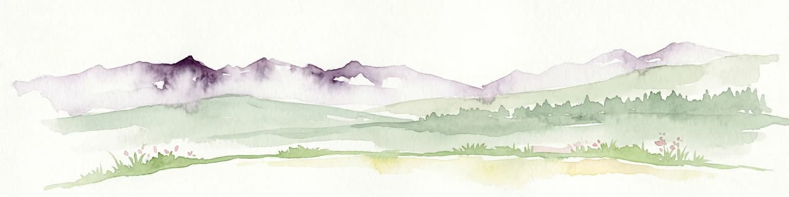
Watercolor painting of mountain peaks with green valleys and grassy foreground
National parkInnlandet
16 km away#3 closest

South

Rondane National Park: Norway's Premier Alpine Protected Landscape and Historic National Park

Mapped glacial terrain, iconic peaks, and wild reindeer sanctuary.

As Norway's first national park, Rondane offers a profound exploration of a protected alpine environment. Situated in Innlandet county, its 963 square kilometers showcase a landscape sculpted by glaciers, featuring a striking array of ten peaks exceeding 2,000 meters. This page details Rondane National Park's distinct mapped boundaries, dramatic mountain geography, and its ecological significance as a refuge for wild reindeer, making it a cornerstone of Scandinavian natural heritage.
Area
963 km²
Established
1962
IUCN
II
Relief
Mountain
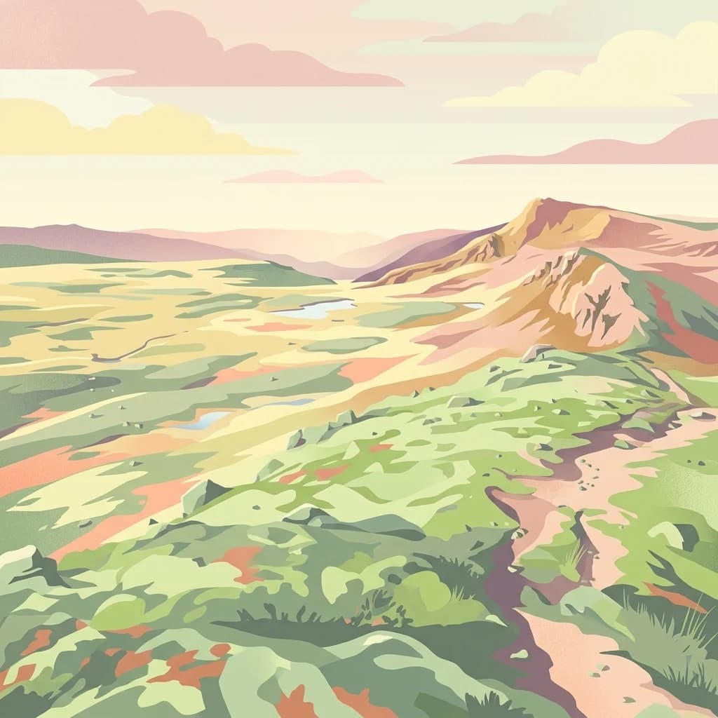
An illustrative depiction of a vast, hilly alpine landscape with a winding trail leading through green meadows, small ponds, and rocky slopes under a soft, sunset-toned sky.
National parkNorway
35 km away#4 closest

East

Forollhogna National Park: Norway's Gently Rolling Alpine Protected Landscape Atlas

Explore unique terrain and vital wild reindeer habitat in Central Norway.

MoriAtlas provides structured geographic context for Forollhogna National Park, Norway's nineteenth national park. This area is best known for its distinctively gentle, rolling alpine terrain, a contrast to other Norwegian mountain ranges, and as a critical habitat for wild reindeer. Discover the park's unique landscape character, its role as a protected area, and the ongoing cultural traditions tied to its mountain pastures, all visualized within a comprehensive atlas framework.

Area
1,062 km²
Established
2001
IUCN
II
Relief
Mountain
A stylized digital illustration of a cascading river flowing through a deep valley surrounded by pine trees and snow-capped mountains under a pale sky.
National parkInnlandet
About 35 km away#5 closest

Southwest

Reinheimen National Park: Norway's Vast Protected Wilderness Landscape and Alpine Geography

Map of protected boundaries and diverse mountain terrain.

Reinheimen National Park is a cornerstone of Norway's protected areas, encompassing a substantial portion of Western Norway's alpine wilderness. This national park protects a dynamic landscape characterized by dramatic western peaks and gentler eastern plateaus, providing critical habitat for wild reindeer and other wildlife. Its extensive mapped boundaries and varied natural terrain offer a rich subject for geographic discovery and atlas exploration, highlighting the ecological significance of well-preserved mountain ecosystems within Innlandet.
Area
1,969 km²
Established
2006
IUCN
II
Relief
Mountain
Watercolor illustration of a mountain range with green hills and a lake in the foreground
National parkNorway
51 km away#6 closest

Southwest

Jotunheimen National Park

Explore mapped glacial terrain and alpine geography.

Jotunheimen National Park, in Norway. Landscapes: mountains, valleys, and glaciers.

Area
1,151 km²
Established
1980
IUCN
II
Relief
Mountain
An illustration showing a lush green mountain valley with a winding river, flanked by tall cliffs and snow-capped peaks under a soft sunset sky.
National parkVestland
82 km away#7 closest

Southwest

Jostedalsbreen National Park

Mapped terrain and protected area discovery in Vestland, Norway.

Jostedalsbreen National Park, in Vestland, Norway. Landscapes: mountains and glaciers.
Area
1,310 km²
Established
1991
IUCN
II
Relief
Mountain
A stylized illustration of a wide, hilly Norwegian landscape with a river flowing through the center, scattered evergreen trees, small cabins, and distant mountain slopes under a soft, cloudy sky.
National parkInnlandet
About 106 km away#8 closest

South

Langsua National Park: Protected Mountain Forests and Inland Wilderness in Innlandet, Norway

Discover mapped boundaries and regional geographic context.

Langsua National Park, a designation expanded in 2011, is a prominent protected area in Norway's Innlandet county. This national park encompasses 537.1 square kilometers of diverse mountainous terrain, characterized by extensive mountain forests and inland wilderness habitats. Its creation consolidates fragmented nature reserves into a significant contiguous protected landscape, offering valuable insight into Norway's conservation strategies and the geographic context of its eastern mountain regions.

Area
537.1 km²
Established
2011
IUCN
II
Relief
Mixed relief
MoriAtlas Explorer

Dovrefjell–Sunndalsfjella National Park

Explore the map, landscapes, and protection details for Dovrefjell–Sunndalsfjella National Park.