Peaks
Mayo Butale
643 m

Detailed analysis of terrain elevation, landscape types, and environmental classifications
Explore the geographic framework of Gashaka-Gumti National Park, a vast protected area covering 6402 square kilometers in Nigeria. The terrain encompasses diverse elevations from 457 meters to a peak of 2419 meters, featuring a complex mix of mountains, valleys, forest, and grasslands within a subtropical climate zone.
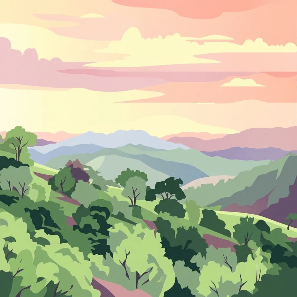
Nigeria's largest protected wilderness spanning savanna lowlands to montane highlands
Gashaka-Gumti National Park is Nigeria's largest national park, encompassing approximately 6,402 square kilometers of diverse terrain in the eastern border regions of Taraba and Adamawa States. Established in 1991 through the gazettment of two former game reserves, the park stretches from the savanna grasslands of the north to the rugged mountainous landscapes of the south, where Nigeria's highest peak, Chappal Waddi, rises to 2,419 meters. The park serves as a critical watershed for the Benue River system and contains significant enclaves where local Fulani pastoralists maintain traditional farming and grazing activities within the protected boundary. Its ecological diversity is remarkable, supporting both West African savanna wildlife in the northern plains and Afromontane forest ecosystems in the southern highlands, making it one of Nigeria's most biologically significant protected areas.
Administrative boundaries and country membership overview
Mapped spatial outline and calculated area measurements for Gashaka-Gumti
Mixed relief classification and vertical range metrics
Elevation span
1,962 m
Vertical extent from the lowest to the highest recorded elevation in the park
Peaks
643 m
Peaks
Peaks
2,419 m
Streams
Wetlands
Peaks
646 m
Analysis of recorded relief, climate zones, and mixed habitat types
Mountains · Valleys · Forest · Grassland · Rivers · Waterfalls · Cave · Cliffs · Canyon
Temperate broadleaf forest · Montane forest · Grassland · Savanna · Riverine habitat
Compare regional geography, transition zones, and connected conservation landscapes.

Northeast
Explore mapped boundaries and regional geography of this vital national park.
Faro National Park stands as a critical protected area within Cameroon, celebrated for its immense hippopotamus population and its role in conserving large mammals across the Sudano-Sahelian zone. The park's landscape comprises undulating savanna plains, river valleys, and elevated hilltops, offering a diverse geographic context for conservation. Its inclusion in a transboundary protected network highlights its importance for regional landscape mapping and ecological continuity. Understanding Faro National Park involves appreciating its unique habitat mosaic and its contribution to the protected areas atlas.
Southwest
Essential habitats in Cameroon's North-West Region
Kimbi-Fungom National Park offers a distinct geographic profile, bridging the Bamboutos Mountains with low-lying savanna mosaics and riverine wetlands. This protected landscape is fundamental for the conservation of rare primate communities and the regulation of the Katsina Ala River, which feeds major water infrastructure. Gain insight into the terrain characteristics and ecological boundaries of this significant protected area through detailed mapping and regional context.
Southeast
Explore its regional geography and protected landscape context.
Mbam Djerem National Park is a designated national park in Cameroon, serving as a vital protected area for understanding regional geography and landscape context. This entry provides a detailed perspective on its mapped boundaries and its contribution to the protected lands inventory. Discover the park's significance as a distinct national park entity, offering specific geographic insights for atlas exploration.

Northeast
Explore savanna woodland, riparian ecosystems, and geographic context.
Bénoué National Park, in Bénoué Department, Cameroon. Landscapes: woodlands, grasslands, and rivers.
South
Explore the mapped terrain and protected boundaries of this national park.
Mpem and Djim National Park is a protected natural area situated within Cameroon's Centre Region. This detail entry provides an atlas-focused view, emphasizing the park's protected landscape characteristics and its position within the regional geography. Understand the mapped context and discover the identity of Mpem and Djim National Park as a key protected area.
Southwest
Mapped boundaries and regional setting in Cameroon.
Takamanda National Park is a key protected area in Cameroon, offering valuable insights for understanding national park geography and protected landscapes. As a designated national park, it serves as a crucial point of reference for exploring the country's natural regions and their mapped boundaries. Discover the geographic context of Takamanda National Park and its significance within the broader Central African atlas.

Northwest

Explore the mapped terrain and protected landscape of Yankari National Park.
Yankari National Park, designated as a national park within Nigeria, offers a distinct focus for atlas-driven exploration of protected landscapes. This resource provides a detailed perspective on the park's geographic identity, its mapped boundaries, and its significance within Nigeria's wider network of natural areas. Engage with structured information that highlights the park's place in the regional geography and its value as a mapped natural landscape.
Southeast
Discover the mapped geography and conservation significance of this national park.
Deng Deng National Park in Cameroon's East Region offers a unique glimpse into the Northern Congolian forest-savanna mosaic ecoregion. Spanning about 683 square kilometers and shaped by the Sanaga River, it is critically important as the northernmost known habitat for western lowland gorillas. Its diverse terrain supports not only gorillas but also elephants, chimpanzees, and pangolins, highlighting its role in Central African biodiversity and regional landscape context.
Dive into the complex landscape of Nigeria's premier protected area through the MoriAtlas framework. Analyze the topographical transition from northern savanna to southern montane peaks and visualize the critical watershed structures that define this vast wilderness.