

Streams
Park geography
A comprehensive examination of regional administrative areas, elevation metrics, and natural mountain terrain.
Gran Paradiso National Park Detailed Geographic Profile and Mapped Boundary Analysis
This geographic profile covers the expansive mountain landscape of Gran Paradiso National Park, located across the Aosta Valley and Piedmont regions of Italy. The dataset details a recorded surface area of 703 square kilometers, defining a vast alpine terrain characterized by glaciated peaks, high mountain passes, and diverse riverine habitats. Users can review elevation data ranging from 800 to 4061 meters alongside a structured list of significant peaks and geological features within the park boundaries.
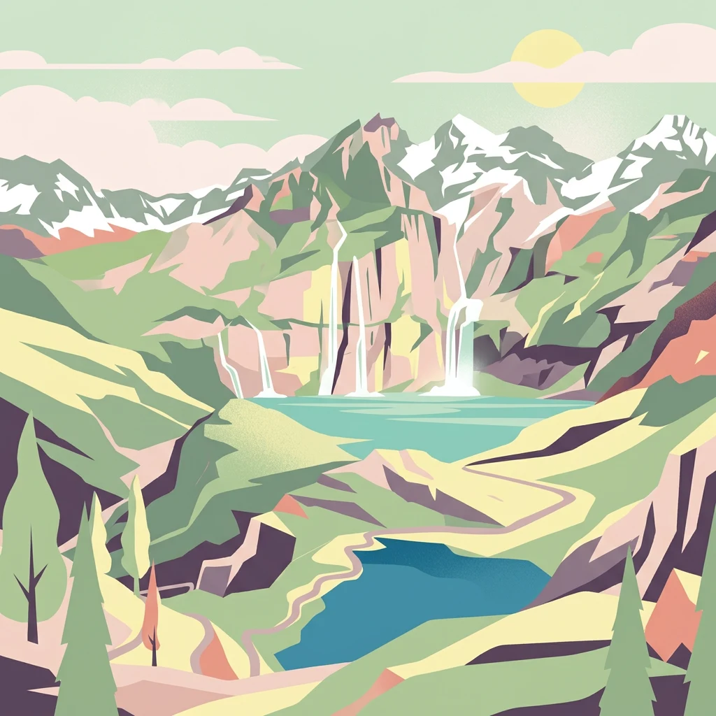
Italy's first national park, protecting the Alpine ibex in the Graian Alps
Gran Paradiso National Park
Gran Paradiso National Park is Italy's oldest national park, established in 1922 in the Graian Alps spanning the border between the Aosta Valley and Piedmont regions. The park encompasses approximately 703 square kilometres of mountainous terrain centred on Gran Paradiso mountain, which at 4,061 metres is the highest peak entirely within Italian territory. Originally created to protect the remaining Alpine ibex population, which had been reduced to approximately 60 individuals by intensive hunting in the early 19th century, the park now preserves a rich alpine ecosystem. The landscape features five major valleys carved by ancient glaciers, with altitudes ranging from 800 metres to over 4,000 metres. The park shares its western boundary with France's Vanoise National Park, with which it cooperatively manages the ibex population that migrates seasonally across the border.
- Location
- Italy
- Park type
- National park
- Established
- 1922
- Area
- 703 km²
- Highest point
- 4,061 m
Location overview
Regional placement across the territories of Aosta Valley and Piedmont
Geographic Profile of Gran Paradiso National Park in Italy
Gran Paradiso National Park lies in Italy, spanning the regions of Aosta Valley and Piedmont. Regional memberships and documented transboundary status define its administrative geography.
- Countries
- Italy
- Regions
- Aosta Valley, Piedmont
- Primary location
- Italy
- Geographic setting
- Transboundary · Inland
Boundary and coordinates
Spatial footprint and regional measurements spanning 703 square kilometers
Mapped Geographic Boundaries of Gran Paradiso National Park
Interactive geographic outlines provide spatial context for the protected terrain of Gran Paradiso National Park. Derived data points clarify the regional center, spatial span, and recorded area of 703 square kilometers.
- Boundary area
- 710.8 km²
- Boundary perimeter
- 155.5 km
- Northernmost point
- 45.6818° N
- Southernmost point
- 45.3995° N
- Easternmost point
- 7.5778° E
- Westernmost point
- 7.0697° E
- Geographic centre
- 45.5294° N, 7.306° E
- North–south span
- 31.4 km
- East–west span
- 39.7 km
Elevation and terrain
Vertical range summary and recorded alpine natural features
Gran Paradiso National Park Elevation Profile and Mountain Terrain Geography
Recorded elevation metrics detail the mountain terrain relief across the protected landscape. Associated feature cards provide names, types, and spatial relationships for identified peaks and saddles.
- Minimum elevation
- 800 m
- Mean elevation
- 2,000 m
- Maximum elevation
- 4,061 m
- Highest point
- 4,061 m
Selected named natural features
Peaks
Cime Beccher
2,940 m
Mountain saddles
Col Lorguibet
3,186 m
Streams
Torrent de Les Chesère
Mountain saddles
Colle Agnel
2,510 m
Glaciers
Ghiacciaio di Montandayné
Environmental setting
Alpine relief, forest cover, and water systems across protected terrain
Gran Paradiso National Park Environmental Classifications and Physical Setting
Recorded landscape features and habitat types frame the physical setting of Gran Paradiso National Park through alpine climate zones and seasonal patterns. Stored categories link directly to relevant atlas destinations for structured environmental navigation.
- Relief
- Mountain
- Climate
- Alpine
- Water
- Major water bodies
- Forest cover
- Partial forest
- Seasonality
- Seasonal
Landscape features
Mountains · Valleys · Glacier · Rivers · Lakes · Waterfalls · Cliffs
Habitat types
Temperate coniferous forest · Montane forest · Alpine meadow · Grassland · Wetland · Riverine habitat · Lacustrine habitat
Park atlas
Browse the mapped geography and protected landscapes surrounding Gran Paradiso National Park, tracing its Alpine terrain and transboundary connections.
Explore Nearby National Parks and Protected Areas Beyond Gran Paradiso National Park
After exploring Gran Paradiso National Park, continue your discovery by mapping other protected areas that share its dramatic Alpine terrain and rich conservation history. Compare the diverse range of national parks and protected landscapes across the Graian Alps and neighboring regions, understanding their unique geographic features and interconnected ecosystems.
National parkSavoie
Park boundaries overlap#1 closest
Southwest

Vanoise National Park: Explore France's Original National Park in the Savoie Alps
Mapped Alpine geography, glacial terrain, and protected landscape.
Vanoise National Park is France's pioneering national park, a protected landscape of immense alpine beauty situated in the Savoie department. Renowned for its dramatic glacial terrain, over 100 peaks above 3,000 meters, and the iconic Alpine ibex, this park offers a profound geographic context. Explore its mapped boundaries and discover the unique atlas-level insights into France's mountainous protected areas and their ecological significance.
- Area
- 534 km²
- Established
- 1963
- IUCN
- II
- Relief
- Mountain
Nature reservePiemonte
About 18 km away#2 closest
East

Riserva naturale dei Monti Pelati: A Protected Nature Reserve in Northern Italy
Geological landscape context and peridotite terrain in Piemonte.
Riserva naturale dei Monti Pelati is a vital protected area in Italy known for its unusual peridotite bedrock. This ridge provides a stark contrast to the nearby Ivrea Morainic Amphitheater, serving as an essential site for studying specialized flora and the geological history of the Western Alps in the Piedmont region.
- Area
- 1.46 km²
- Established
- 1993
- Relief
- Upland
- Climate
- Temperate
Nature reserveBiella
32 km away#3 closest
East
Riserva naturale speciale della Bessa: Protected Nature Reserve in Northern Piedmont
Glacial moraines and archaeological mining landscapes near Biella
Located in the foothills of the Alps, the Riserva naturale speciale della Bessa is defined by its austere, stone-filled plateau. This nature reserve offers a unique look at Pleistocene glacial deposits and the extensive traces of Roman placer gold extraction. The geography includes erratic boulders, deep erosional channels, and historic terrace systems that reveal a deep connection between ancient labor and natural geological forces.
- Area
- 7.5 km²
- Established
- 2009
- IUCN
- IV
Nature reserveHaute-Savoie
42 km away#4 closest
Northwest
Réserve naturelle nationale du Vallon de Bérard: Geography and Protected Alpine Terrain
High-altitude glacial valleys and crystalline peaks of Haute-Savoie
Situated in the heart of the Aiguilles Rouges massif, Réserve naturelle nationale du Vallon de Bérard preserves a compact mosaic of high-mountain ecosystems. From the Eau de Bérard torrent to the crystalline needles of Aiguille du Belvédère, the reserve provides a protected refuge for alpine species and a rare look at relict glacial landscapes within the French Alps.
- Area
- 5.397 km²
- Established
- 1992
- IUCN
- IV
- Relief
- Mountain
Nature reserveSavoie
About 51 km away#5 closest
Northwest
Réserve naturelle régionale de la tourbière des Saisies - Beaufortain - Val d'Arly Protected Area Map
High-altitude peatland geography in the Savoie department.
Investigate the complex topography and conservation significance of the Réserve naturelle régionale de la tourbière des Saisies - Beaufortain - Val d'Arly. This protected area stands as a unique alpine landmark, recognized for its subalpine boreal vegetation, rich bird populations, and critical role as a regional peatland sanctuary within the Savoie mountain range.
- Area
- 2.93 km²
- Established
- 2013
- IUCN
- IV
Nature reservePiemonte
About 59 km away#6 closest
Northeast
Riserva speciale del Sacro Monte di Varallo: Nature Reserve and Woodland Geography
Exploring the protected boundaries and forest terrain in Piemonte
Riserva speciale del Sacro Monte di Varallo is a compact nature reserve in the Piedmont region, distinguished by its Renaissance-inspired woodland and elevation above the Valsesia valley. This protected landscape combines ecological richness with historic chapel architecture, offering a study in the intersection of natural terrain, cultural heritage, and Alpine foothill geography.
- Area
- 0.217 km²
- Established
- 1990
- IUCN
- V
- Relief
- Upland
Nature reservePiemonte
About 67 km away#7 closest
East
Riserva naturale speciale dell'Isolone di Oldenico: Geography and Riverine Conservation Atlas
Protected riparian corridors in the Po Plain region of Northern Italy
This nature reserve preserves a distinct island feature formed by the Sesia river system. As a vital component of the lower Sesia valley network, the protected area contrasts sharply with the surrounding agricultural land by maintaining indigenous riverine vegetation, marshy habitat pockets, and natural levees within the flat terrain of the Province of Vercelli.
- Area
- 0.52 km²
- Established
- 1978
- IUCN
- IV
National parkFrance
69 km away#8 closest
Southwest
Écrins National Park: Alpine Glaciated Terrain and Protected Landscape Details
Mapped boundaries and regional geography of a major French National Park.
Delve into Écrins National Park, a defining national park within the French Alps. This page provides a comprehensive overview of its protected landscape, focusing on its dramatic glaciated terrain, significant peaks such as the Barre des Écrins, and its position within the regional geographic context. Explore the mapped extent and understand the unique alpine environment of this protected area.
- Area
- 925 km²
- Established
- 1973
- IUCN
- II
- Visitors
- 800K annual
MoriAtlas Explorer
Continue Geographic Exploration of Gran Paradiso National Park
Deepen your understanding of Gran Paradiso National Park by exploring its specific geographic features and protected area context further. MoriAtlas provides structured data to help you navigate its mapped landscape and compare its regional setting with surrounding geographies. Continue your discovery journey into the atlas of protected lands, starting with the intricate details of this Italian national park.
Browse next
Global natural geography
Explore related park routes
Explore MoriAtlas Global ParksBrowse All MoriAtlas ParksGlobal Park Map DiscoveryMoriAtlas: Browse All CountriesBrowse All MoriAtlas ContinentsNational Park Environment AtlasGrand Canyon National Park AtlasYellowstone National Park AtlasYosemite National Park Atlas and GeographySerengeti National Park AtlasGalápagos National Park Protected LandscapeBanff National Park Geography and AtlasKruger National Park Atlas EntryUluṟu-Kata Tjuṯa National Park AtlasExplore Uluru-Kata Tjuta National Park GeographyPlitvice Lakes National Park AtlasFiordland National Park Protected LandscapeGreat Smoky Mountains National Park AtlasAfghanistan National Parks and Protected AreasAlbania National Parks and Protected AreasAlgeria National Parks and Protected AreasAmerican Samoa National Parks and Protected AreasAndorra National Parks and Protected AreasAngola National Parks and Protected AreasAntarctica National Parks and Protected AreasAntigua and Barbuda Park List