Mori Atlas logo
Park earthquake history

Review recorded geological events, event magnitudes, and epicentre proximity data for the region.

Historical Earthquake Records and Seismic Activity Catalogue for Hwange National Park

Access a structured collection of historical earthquake records associated with the geography of Hwange National Park in Matabeleland North. This catalogue provides a transparent view of recorded seismic activity by detailing event dates, magnitudes, and specific distances from the park boundaries based on historical seismic data. Use this resource to investigate patterns in regional seismic activity across the surrounding woodland and wetland landscapes without predicting future events.

Related tags

national parkbig fiveelephant populationCape wild dogKalahari ecosystem

Zimbabwe's vast Kalahari-edge wilderness with exceptional wildlife diversity

Hwange National Park

Hwange National Park is the largest natural reserve in Zimbabwe, spanning approximately 14,600 square kilometers in the country's northwest region. The park sits near the edge of the Kalahari desert, characterized by a semi-arid landscape of woodland, seasonal wetlands known as vleis, and scattered pans that support remarkable biodiversity. Established initially as a game reserve in 1928 and designated a national park in 1961, Hwange contains over 100 mammal species and more than 400 bird species, making it one of Africa's most ecologically significant protected areas. The park is particularly notable for its population of African bush elephants, which has flourished to densities far exceeding what the land naturally supports, as well as its herds of Cape wild dogs, lions, and uniquely in Zimbabwe, small populations of gemsbok and brown hyena. Located just off the main road between Bulawayo and Victoria Falls, Hwange offers visitors access to a remote wilderness experience contrasting with the more frequented tourist corridors of southern Africa.

Location
Zimbabwe
Park type
National park
Established
1961
Area
14,651 km²
Hwange National Park Protected Area

Sort Hwange National Park events by magnitude, depth, date, and distance

Search recorded earthquake history around Hwange National Park

Hwange National Park’s earthquake catalogue relates epicentres to measured distance from its Zimbabwean Kalahari-edge landscape, without asserting park occurrence. Event time, magnitude, depth, locality, separation, and sources create historical context without assigning wildlife or park influence, alleging effects on seasonal wetlands, declaring geological causation, stating current threat, or forecasting activity.

Sort by
Magnitude
Location

This page describes catalogued earthquakes associated with the park by epicentre location and distance. It does not establish causation, assess current danger, or predict future earthquakes.

No earthquake records match the current filters

Park atlas

Continue from Hwange National Park earthquake history to new places

Find additional protected park pages after Hwange National Park

Move beyond Hwange National Park’s earthquake section to protected destinations selected for broader atlas exploration. Their appearance does not equate them with Zimbabwe’s Kalahari-edge wildlife landscape or national-park scale, and it establishes no common ecology, designation, seismic history, geographic closeness, current hazard, risk, or evidence depth.
National parkZimbabwe
About 29 km away#1 closest

Northwest

Kazuma Pan National Park: Zimbabwe National Park Atlas and Protected Landscape Exploration

Unique plains landscape with reliable dry-season wildlife viewing.

Kazuma Pan National Park offers a rare glimpse into Zimbabwe's expansive grassy plains and vital pans, creating a unique protected landscape. This national park is critical for understanding regional wildlife migrations and the geographic context of conservation areas in northwestern Zimbabwe, providing an essential entry point for atlas-based exploration of its terrain and ecological significance.

Area
313 km²
Established
1975
IUCN
II
Relief
Lowland
A vibrant graphic illustration depicting a massive waterfall flowing over a cliff into a deep canyon with a rainbow arching across the mist. In the foreground, there is a stone-railed observation platform surrounded by trees and lush vegetation.
National parkZimbabwe
61 km away#2 closest

Northwest

Victoria Falls National Park: A Protected Landscape Within Zimbabwe's Geography

Atlas exploration of park boundaries and natural terrain.

Victoria Falls National Park is a key component of Zimbabwe's protected natural areas. This page provides structured information ideal for atlas-based exploration, detailing the park's geographic position and mapped landscape features. Understand its significance as a national park and its contribution to the region's conservation geography.

Area
23.4 km²
IUCN
II
Relief
Mixed relief
Climate
Tropical
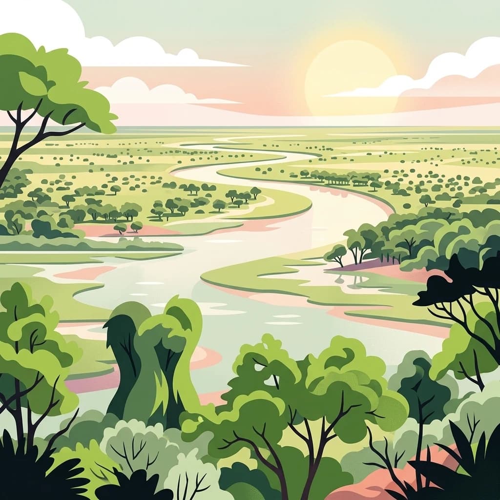
An illustrative style digital artwork showing a winding river through a savanna landscape with trees and a setting sun in the background.
National parkBotswana
64 km away#3 closest

West

Chobe National Park

Discover Botswana's diverse protected areas and unique savanna wetlands.

Chobe National Park, in Botswana. Landscapes: wetlands, forests, and woodlands.

Area
11,700 km²
Established
1967
IUCN
II
Relief
Mixed relief
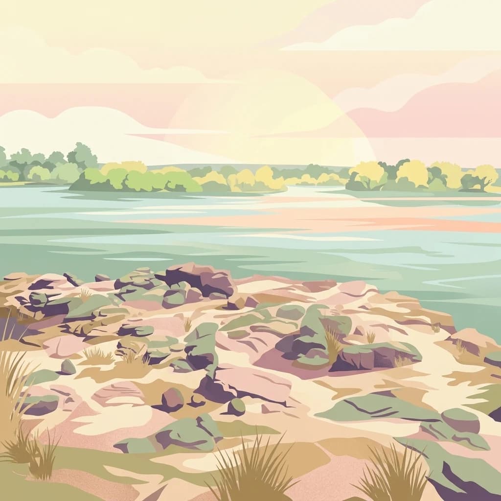
Digital illustration of a calm river scene at dawn or dusk, featuring rocky, grassy riverbanks in the foreground and a calm, wide river flowing toward a treelined horizon under a soft, pastel-colored sky.
National parkSouthern Province
About 76 km away#4 closest

Northwest

Mosi-oa-Tunya National Park

Mapped boundaries and protected landscape context in Southern Province, Zambia.

Mosi-oa-Tunya National Park, in Southern Province, Zambia. Landscapes: forests, woodlands, and grasslands.

Area
66 km²
IUCN
II
Climate
Subtropical
Access
Easy access
National parkHwange District
About 78 km away#5 closest

Northwest

Zambezi National Park: National Park within Hwange District's Geographic Landscape

Explore mapped boundaries and protected area context.

Delve into Zambezi National Park, a designated national park situated in Hwange District. This entry provides foundational geographic and landscape context, highlighting the park's protected status and its position within the regional terrain. Understand the atlas significance and mapped features of this conservation landscape for informed discovery.

Area
560 km²
Established
1979
Relief
Lowland
Climate
Subtropical
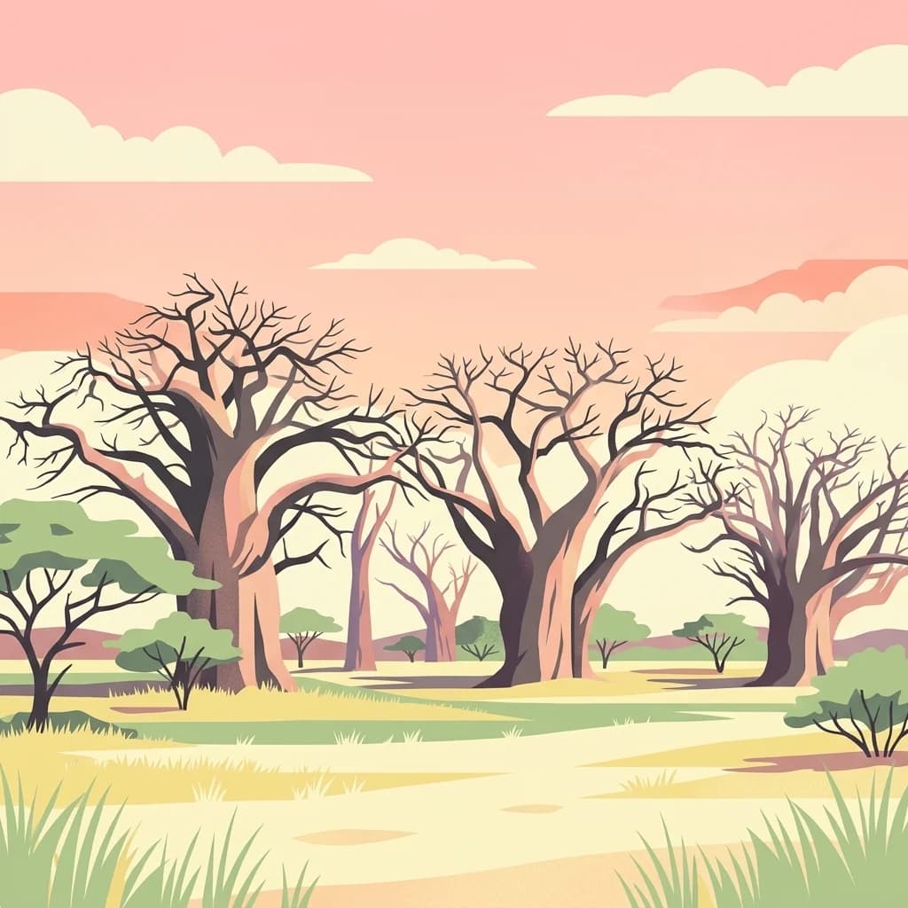
A flat-style digital illustration of several thick-trunked baobab trees with leafless branches standing in a savanna landscape under a soft pink sunset sky.
National parkBotswana
112 km away#6 closest

Southwest

Nxai Pan National Park: Botswana's Iconic Baobab Forests and Salt Pan Landscape

Explore mapped boundaries and unique regional geography.

Nxai Pan National Park offers a compelling glimpse into Botswana's unique semi-arid ecosystems, characterized by the expansive, salt-crusted Nxai Pan itself and the iconic Baines Baobabs dotting its edges. As a protected national park, it represents a significant conservation landscape within the Kalahari Desert region. Understanding its geography involves appreciating the stark visual contrasts, seasonal wetland transformations, and the vast openness of the salt pan environment.

Area
2,578 km²
Established
1992
IUCN
Ib
Relief
Lowland
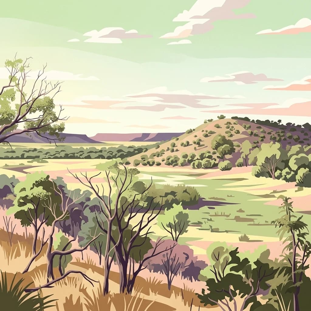
A stylized digital illustration of a vast, hilly African landscape under a pale sunset sky, featuring scattered dry trees, grasslands, and distant escarpments.
National parkZimbabwe
About 163 km away#7 closest

Northeast

Chizarira National Park: Zimbabwe's Remote Protected Landscape on the Zambezi Escarpment

Explore rugged mountains, deep gorges, and unique woodland ecosystems.

Chizarira National Park offers an unparalleled exploration of wilderness and dramatic geography within Zimbabwe. Situated along the imposing Zambezi Escarpment, its landscape is characterized by a 600-meter drop, rugged mountains, and deep river gorges carved by perennial streams. This protected area, known for its remote appeal and rich leopard populations, provides a distinct view of miombo and mopane woodlands, contributing to its unique ecological identity within the regional geography.

Area
2,000 km²
Established
1975
IUCN
II
Relief
Mountain
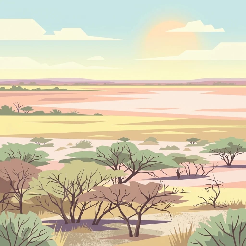
A flat digital illustration of an arid savanna landscape with sparse acacia trees and a wide, pale salt pan stretching toward a horizon under a soft, setting sun.
National parkBotswana
About 163 km away#8 closest

Southwest

Makgadikgadi Pans National Park: A Protected Landscape in Botswana's Geographic Atlas

Explore its mapped boundaries and regional natural terrain.

Makgadikgadi Pans National Park is a designated national park in Botswana, contributing significantly to the region's atlas of protected lands. This page details its geographic scope, emphasizing its role as a mapped natural landscape within Southern Africa. Explore the park's unique protected-area identity and understand its place within Botswana's diverse, largely Kalahari Desert-influenced terrain.

Relief
Lowland
Climate
Arid
Scope
Terrestrial
Water
Major water bodies
MoriAtlas Explorer

Hwange National Park

Explore the map, landscapes, and protection details for Hwange National Park.

Global natural geography