North
Fundy National Park
Mapped protected landscape and regional park context.
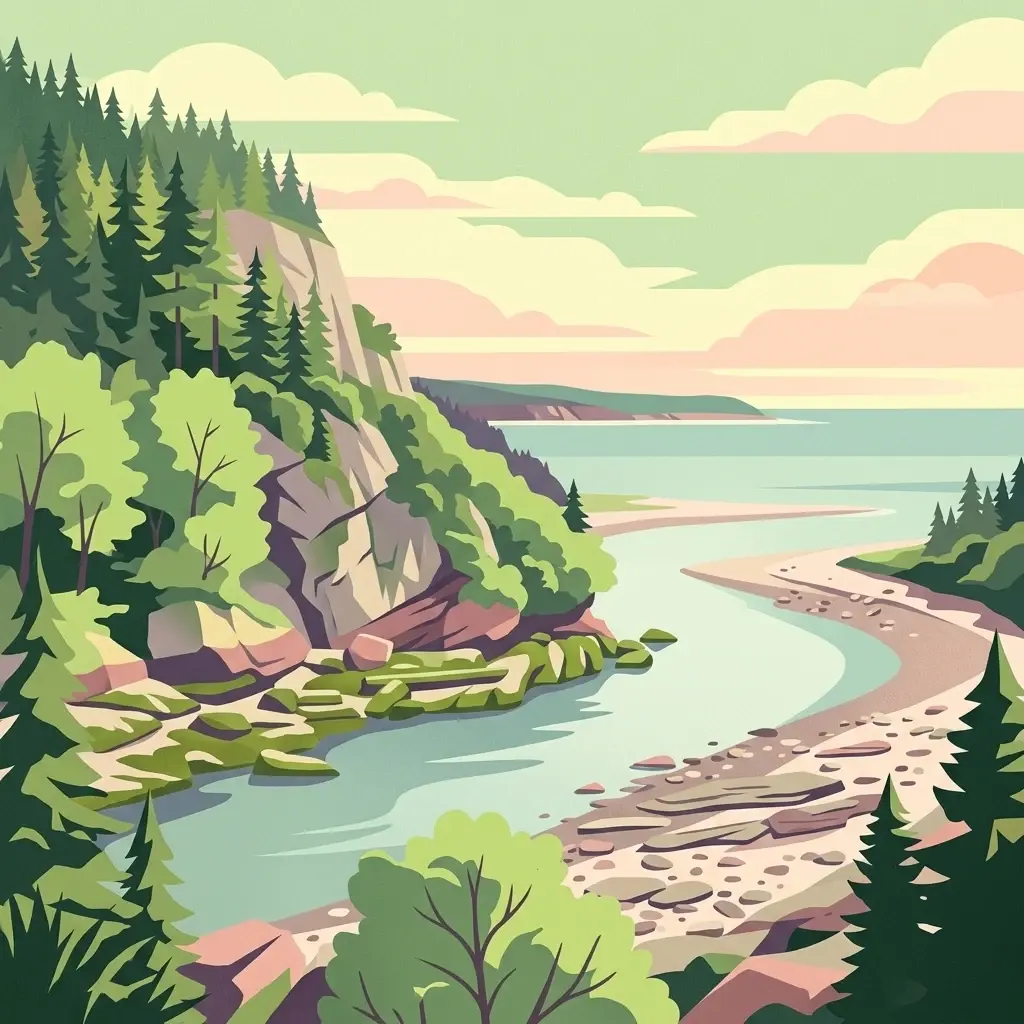
Fundy National Park, in New Brunswick, Canada. Landscapes: mountains, forests, and woodlands.
- Area
- 207 km²
- Established
- 1948
- IUCN
- II
- Visitors
- 303.6K annual

Regional geographic mapping of protected lands surrounding this coastal wildlife reserve.
Identify protected areas and significant natural landscapes within the regional geography surrounding Île Haute. This overview displays surrounding park boundaries and terrain characteristics to help visualize the distribution of protected lands along the Bay of Fundy. Analyze the spatial relationships between nearby wilderness areas and the distinct volcanic geology of this coastal region.

A basalt island sanctuary in the Bay of Fundy, rising in dramatic cliffs and home to rich migratory bird life.
Isle Haute is a small, rugged island in the Bay of Fundy, lying about eight kilometers off Cape Chignecto in Cumberland County, Nova Scotia, Canada. Slightly less than a square kilometer in area, the island rises in steep basalt cliffs that define its entire shoreline and give it a striking, isolated profile within one of the world's most dynamic marine environments. The island is of considerable ecological and geological interest. Its Jurassic-age volcanic bedrock, dramatic coastal landforms, and exceptionally high tidal range create habitats that support hundreds of plant taxa, dozens of migratory bird species, and notable marine wildlife including seals. In recognition of these values, Isle Haute was proposed as a National Wildlife Area by Environment and Climate Change Canada and formally designated in January 2025. Beyond its natural significance, the island carries deep human history. Evidence of Mi'kmaq presence dates back roughly eleven thousand years, and the island was documented by Samuel de Champlain in 1604, making it both a cultural heritage site and a modern conservation priority in Atlantic Canada.
See the ranked park cluster in its geographic setting
Explore surrounding protected landscapes and regional park geography measured by direct geographic separation.

North
Mapped protected landscape and regional park context.
Fundy National Park, in New Brunswick, Canada. Landscapes: mountains, forests, and woodlands.
Southeast
Mapped riparian ecosystems and migratory bird habitats in Nova Scotia.
Discover the unique geography of the Kentville Migratory Bird Sanctuary, a compact wildlife reserve in Nova Scotia. This protected area features a blend of river channels, open fields, and forest mosaic that serves as a seasonal sanctuary for waterfowl. Learn about the riparian terrain that defines this critical node in the broader Atlantic flyway network.

North
Coastal wetlands and protected intertidal geography
Located along the Bay of Fundy, Réserve nationale de faune de Shepody represents an essential network of salt marshes and freshwater habitats. This mapping analysis traces the intersection of tidal dynamics, riverine estuaries, and ancient sandstone formations that define this critical protected area in New Brunswick.

East
Protecting intertidal mudflats and migratory bird habitats
Located in the Southern Bight of the Minas Basin, Boot Island National Wildlife Area serves as a key protected refuge within the Bay of Fundy. This reserve safeguards essential coastal and marshland habitats that support migratory bird populations, offering a focused look at how specific island geography functions within a larger, dynamic estuarine wetland system.

Northeast
Nova Scotia Wildlife Reserve and Managed Marshland Habitat
Amherst Point Migratory Bird Sanctuary protects a significant freshwater marsh and ponded wetland network in Nova Scotia. This reserve is defined by its engineered diked impoundments and role as a crucial stopover for migratory birds in the Atlantic flyway, offering a clear window into managed wetland conservation and coastal marsh terrain.

South
Explore mapped boundaries and geographic context in Nova Scotia.
Kejimkujik National Park, in Nova Scotia, Canada. Landscapes: forests, wetlands, and lakes.
Northwest
Saint John River floodplain reserve in New Brunswick
Portobello Creek National Wildlife Area protects an expansive wetland complex characterized by riverine marshes, shrub thickets, and low-lying floodplain forests. As a key site within the Saint John River system, the reserve offers unique insight into the geomorphic and ecological character of Atlantic Canadian wetlands.

Northeast
Essential geographic context for a strategic New Brunswick wildlife reserve
Examine the mapped boundaries and complex ecosystem transitions of Réserve nationale de faune du Cap-Jourimain. This federally protected area in New Brunswick offers a distinct look at coastal marshlands, tidal flats, and island topography situated at the narrowest point of the Northumberland Strait.
South
Wildlife reserve and intertidal wetland geography
Spanning the shallow reaches of Port L'Hebert, this wildlife reserve serves as a foundational element of the South Shore protected area network. The sanctuary is defined by its wide tidal range, which uncovers extensive sand and mudflats to provide essential feeding grounds for migratory geese and ducks. This site offers deep insight into the coastal geography and wetland preservation status of Nova Scotia's rugged Atlantic fringe.
South
Freshwater avian sanctuary and coastal nesting habitat
Haley Lake Migratory Bird Sanctuary provides a crucial freshwater refuge on the southwestern coast of Nova Scotia. This wildlife reserve features a unique lakeside environment that supports large gatherings of migratory waterfowl and a historic great blue heron breeding colony, situated between the brackish tidal flats of the surrounding estuarine landscape.
South
Protected estuarine sanctuary and waterfowl habitat
Spanning the sheltered waters of a river estuary, Zugvogelschutzgebiet Sable River acts as a essential component of the coastal conservation landscape in Nova Scotia. This protected wildlife reserve remains a vital staging area for migratory species, defined by its tidal salt marshes and open aquatic terrain which function in coordination with neighboring Atlantic sanctuary sites.

North
Mapped protected area boundaries and regional geography.
Kouchibouguac National Park is a designated national park offering a rich canvas for geographic discovery. This entry focuses on understanding its protected landscape, detailing its specific mapped boundaries within New Brunswick. It serves as a vital component for atlas exploration, providing the context needed to grasp the park's natural terrain and its significance within the regional geography.

Northeast
Mapped protected area and regional geographic context.
Pituamkek National Park Reserve offers a unique opportunity for atlas-driven discovery, focusing on its protected status as a national park on Prince Edward Island. The page details the park's geographic setting and its role within the broader landscape context of Canada. Explore its specific mapped boundaries and understand its contribution to the network of protected natural areas, providing essential data for geographic research and landscape analysis.

Northeast
Discover its geographic context and natural terrain.
Prince Edward Island National Park offers a distinct protected area for exploration within the Canadian Maritimes. As a national park, it represents a commitment to preserving specific natural landscapes and their geographic characteristics. This resource provides insight into its mapped boundaries, regional setting on Prince Edward Island, and its contribution to the broader atlas of protected lands.
North
A vital estuarine reserve on the New Brunswick coast
Study the coastal terrain of Île-du-Portage National Wildlife Area, an uninhabited island reserve situated at the junction of the Miramichi River and the Northumberland Strait. This overview focuses on the island's role as one of five National Wildlife Areas in New Brunswick, highlighting its significance within the broader estuarine geography and coastal maritime history of the Atlantic region.

West
Discover mapped boundaries and natural terrain context.
Acadia National Park, in Maine, United States of America.
East
Mapped island habitats and protected Atlantic coastal terrain
Explore the protected landscape of Réserve nationale de faune de l'Île-Country, a 21-hectare wildlife reserve off the coast of Nova Scotia. This detailed overview focuses on the island's coastal mosaic of cobble ridges, shrub thickets, and meadow habitats that form a vital refuge for migratory seabird colonies within the Canadian Atlantic maritime region.
Northeast
Coastal maritime geography and nesting habitats in Nova Scotia
Sea Wolf Island National Wildlife Area constitutes a remote sandstone sanctuary in the Gulf of St. Lawrence. Characterized by steep, eroded cliff faces and isolated terrain, this Canadian protected area remains a significant site for colonial seabird nesting, specifically supporting populations of Great Cormorants and Razorbills within the Atlantic marine ecosystem.

Northeast
Discover its national park geography and natural terrain.
Cape Breton Highlands National Park, in Nova Scotia, Canada. Landscapes: mountains, valleys, and plateaus.

Northeast
A mapped complex of parabolic dunes, lagoons, and migratory bird habitats
Located on the Magdalen Islands, Réserve nationale de faune de la pointe de l'Est safeguards an exceptional coastal landscape defined by wind-shaped barrier spits and extensive sand dunes. This protected area offers critical insight into the geography of the Gulf of Saint Lawrence, protecting diverse habitats ranging from salt marshes to rare parabolic dune formations and freshwater wetlands.
Geographic measurements, not driving distances
Calculated between the nearest points of both park boundaries.
Estimated from one mapped park location to the nearest boundary of the other park.
Estimated between the mapped locations of both parks.
Access detailed geographic data and map-focused insights for Île Haute Wildlife Reserve. MoriAtlas provides a comprehensive look at the island's basalt cliff formations and the surrounding marine ecosystem in the Bay of Fundy, serving as a primary reference for this unique Nova Scotia protected area.