
Cave entrances
Park geography
Analyzing the terrain, coastal elevation metrics, and regional environmental context
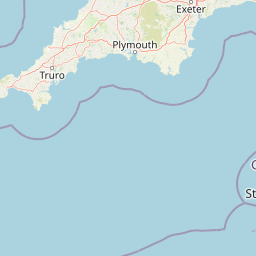
Comprehensive Geographic Profile and Mapped Boundaries of the Jurassic Coast Protected Landscape
This geographic profile presents the physical landscape of the Jurassic Coast in the United Kingdom, focusing on its recorded boundaries and upland terrain. The data set encompasses an area of 24.771 square kilometers, detailing an elevation profile that reaches 191 meters above sea level. It highlights associated features including cliffs, capes, beaches, and cave systems that define this protected area.
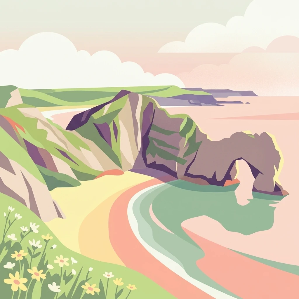
A 96-mile stretch of southern English coastline exposing 185 million years of geological history.
Jurassic Coast
The Jurassic Coast is a World Heritage Site on the English Channel coast of southern England, stretching roughly 96 miles from Exmouth in East Devon to Studland Bay in Dorset. Inscribed on the World Heritage List in 2001, it was the first wholly natural World Heritage Site to be designated in the United Kingdom. The coastline exposes an almost continuous sequence of Triassic, Jurassic, and Cretaceous rock formations, revealing 185 million years of Earth history across a landscape shaped by active coastal erosion. At different points in deep time this region has been a desert, a shallow tropical sea, and a coastal marsh; the varied environments have left behind an exceptional fossil record, including ammonites, marine reptiles, insects, and early mammals, preserved in clearly layered sedimentary rocks. The geological character of the coast is reflected in dramatic landforms such as Durdle Door, Lulworth Cove, Chesil Beach, the Isle of Portland, and Old Harry Rocks, which together illustrate fundamental coastal geomorphology as well as paleontological heritage. Beyond its scientific importance, the Jurassic Coast is closely linked to the early development of paleontology as a discipline, not least through the work of the fossil collector Mary Anning at Lyme Regis. It is also a living, eroding coastline where landslides, cliff falls, and weather events continue to reshape both the rocks and the communities along its edge, making it a globally significant site for both earth science research and public engagement with geology.
- Location
- United Kingdom
- Park type
- Protected landscape
- Established
- 2001
- Highest point
- 191 m
Location overview
Administrative location memberships across Dorset and coastal marine status
Jurassic Coast Geographic Overview and Regional Setting in the United Kingdom
Recorded country and region memberships place Jurassic Coast firmly within the United Kingdom and Dorset. Geographic status flags confirm coastal and marine designations for administrative context.
- Countries
- United Kingdom
- Regions
- Dorset
- Primary location
- United Kingdom
- Geographic setting
- Coastal · Marine
Boundary and coordinates
Mapped spatial outline and derived dimensional metrics
Jurassic Coast Boundary Map and Geographic Extent
Interactive boundary geometry provides spatial context for the protected area. Accompanying dimensional metrics record total area, perimeter length, coordinate limits, and geographic spans.
- Boundary area
- 24.8 km²
- Boundary perimeter
- 342.4 km
- Northernmost point
- 50.7371° N
- Southernmost point
- 50.5129° N
- Easternmost point
- 1.9222° W
- Westernmost point
- 3.3855° W
- Geographic centre
- 50.6458° N, 2.6711° W
- North–south span
- 25 km
- East–west span
- 103.5 km
Elevation and terrain
A 0-to-191-metre summary with twenty records within
Jurassic Coast upland terrain, elevation, and named features
Jurassic Coast has upland relief, elevations from 0 to 191 metres, and a 191-metre highest point. Twenty within-area cards include cliffs, cave entrances, beaches, a cape, arch, rock, and forest, with names and types kept distinct.
- Minimum elevation
- 0 m
- Maximum elevation
- 191 m
- Highest point
- 191 m
Selected named natural features
Cliffs
Dunscombe Cliffe
Cliffs
Black Zawn
Cliffs
Winspit
Capes
Bat’s Head
Cliffs
Blacker's Hole
Environmental setting
Temperate marine and coastal relief classifications across recorded terrain features
Jurassic Coast Environmental Classifications and Protected Landscape Settings
Recorded landscape features and habitat types serve as complementary ways to read the physical setting of Jurassic Coast. Structured classifications connect individual environmental categories to relevant atlas destinations.
- Relief
- Upland
- Climate
- Temperate
- Water
- Major water bodies
- Forest cover
- Partial forest
- Seasonality
- Year-round
Landscape features
Coast · Beach · Cliffs · Dunes · Wetland · Rivers · Forest
Habitat types
Coastal habitat · Marine habitat · Wetland · Temperate broadleaf forest
Park atlas
Compare regional geology, coastal reserves, and connected conservation areas
Explore Other Parks Near Jurassic Coast and Surrounding Protected Landscapes
Visitors exploring the Jurassic Coast can browse adjacent protected areas and regional reserves to compare coastal geomorphology and protected habitats. Extending the journey beyond southern England reveals diverse natural landscapes and contextualizes regional conservation priorities.
Protected areaEngland
1.7 km away#1 closest
East

Dorset Heaths: Protected Lowland Landscapes and Regional Geography in Southern England
A comprehensive look at the Poole Basin heathland mosaic.
Spanning the Poole Basin, the Dorset Heaths offer a distinct geographic profile of acidic sands and diverse ecological mosaics. This protected area includes rare valley mires and coastal dunes, providing a clear window into the natural landscape history and ongoing conservation efforts within southern England's coastal regions.
- Area
- 616.62 km²
- Established
- 1998
- Relief
- Lowland
- Water
- Major water bodies
Protected areaDorset
2 km away#2 closest
East
Poole Harbour: Protected Area Geography and Coastal Map of Dorset
Coastal ria landscape and wetland habitat mapping
Poole Harbour stands as a prominent natural feature of the Dorset coast, defined by its shallow waters and varied estuarine terrain. This profile maps the protected landscape, including its salt marshes, seagrass meadows, and islands, offering deep geographic context for this significant southern England wetland.
- Area
- 36 km²
- Relief
- Lowland
- Climate
- Temperate
- Access
- Easy access
National parkDevon
17 km away#3 closest
West
Dartmoor National Park: Granite Tors and Prehistoric Landscape in Devon
Mapped protected area with significant Bronze Age remains.
Dartmoor National Park represents a distinctive granite upland in Devon, England, characterized by its dramatic tors and expansive moorland. This protected landscape is globally significant for its dense concentration of prehistoric archaeological sites, including stone circles, standing stones, and ancient settlements. Exploring Dartmoor offers a unique insight into Britain's regional geography, mapped terrain, and enduring connection to ancient human history.
- Area
- 954 km²
- Established
- 1951
- IUCN
- V
- Visitors
- 11M annual

National parkEngland
19 km away#4 closest
East
New Forest National Park: Historic Protected Landscape and Regional Geography in England
Mapped heathland, ancient woodlands, and pastoral traditions.
Explore New Forest National Park, a nationally significant protected area in England renowned for its unique blend of ancient royal forest history, traditional pastoral practices, and biologically rich lowland habitats. This page provides an atlas-focused view of its mapped boundaries, distinctive terrain, and geographic context within England, highlighting its value as a living landscape shaped by centuries of common grazing rights and supporting rare wildlife.
- Area
- 566 km²
- Established
- 2005
- IUCN
- V
- Visitors
- 14.8M annual

Natural monumentIsle of Wight
About 24 km away#5 closest
East
The Needles Natural Monument: Coastal Chalk Geography and Protected Marine Landscapes
Geological formations and chalk headland terrain on the Isle of Wight
The Needles represents a unique geological intersection of vertical chalk strata and maritime history at the edge of the Isle of Wight. This protected area encompasses dramatic sea stacks, clifftop heathland, and critical marine habitats, offering a window into the complex coastal landscape of the English Channel and the regional geology of southern England.
- Relief
- Upland
- Climate
- Temperate
- Access
- Easy access
- Scope
- Mixed
Protected landscapeSomerset
28 km away#6 closest
North
Somerset Levels Protected Landscape: Geographic Mapping and Wetland Terrain Analysis
A low-lying coastal plain and historic wetland basin in Somerset
Examine the distinct topography of the Somerset Levels, where flat horizons, pollarded willows, and ancient drainage channels create a unique English landscape. This protected area offers deep insight into prehistoric archaeology, including preserved Neolithic trackways, alongside modern wetland conservation of international significance within a rural basin.
- Area
- 650 km²
- Established
- 1997
- Relief
- Lowland
- Climate
- Temperate

National parkUnited Kingdom
43 km away#7 closest
Northwest
Exmoor National Park: A Premier Protected Landscape in South West England for Atlas Exploration
Mapped terrain, moorland, and dramatic coastal geography.
Discover Exmoor National Park, a vast protected area in South West England celebrated for its sweeping heather moorland, dramatic coastline with the highest sea cliffs on mainland Britain, and deep, ancient wooded valleys. This national park offers a unique landscape for atlas-based exploration, revealing its distinct geography, mapped boundaries, and rich terrain shaped by centuries of natural processes and human activity.
- Area
- 692 km²
- Established
- 1954
- IUCN
- V
- Visitors
- 1.4M annual

National parkSouth East England
57 km away#8 closest
East
South Downs National Park: A Distinctive Chalk Landscape in South East England's Atlas
Iconic chalk downland, coastal cliffs, and mapped terrain.
South Downs National Park is a premier protected landscape in South East England, celebrated for its unique chalk downland terrain and dramatic coastal formations. This page provides detailed geographic context for the park, highlighting its rolling hills, dry valleys, and ancient woodlands. Discover the park's mapped boundaries and its significance within England's protected areas, offering a structured atlas view for landscape exploration.
- Area
- 1,627 km²
- Established
- 2010
- IUCN
- V
- Visitors
- 18M annual
MoriAtlas Explorer
Continue Exploring the Geological Geography of the Jurassic Coast
Deepen your understanding of the Jurassic Coast through our structured geographic and geological dataset. MoriAtlas provides detailed context on the protected landscape, landforms, and rock sequences that define this coastal stretch in the United Kingdom. Start a journey through millions of years of earth science history and coastal evolution.
Browse next
Global natural geography
Explore related park routes
Explore MoriAtlas Global ParksBrowse All MoriAtlas ParksGlobal Park Map DiscoveryMoriAtlas: Browse All CountriesBrowse All MoriAtlas ContinentsNational Park Environment AtlasGrand Canyon National Park AtlasYellowstone National Park AtlasYosemite National Park Atlas and GeographySerengeti National Park AtlasGalápagos National Park Protected LandscapeBanff National Park Geography and AtlasKruger National Park Atlas EntryUluṟu-Kata Tjuṯa National Park AtlasExplore Uluru-Kata Tjuta National Park GeographyPlitvice Lakes National Park AtlasFiordland National Park Protected LandscapeGreat Smoky Mountains National Park AtlasAfghanistan National Parks and Protected AreasAlbania National Parks and Protected AreasAlgeria National Parks and Protected AreasAmerican Samoa National Parks and Protected AreasAndorra National Parks and Protected AreasAngola National Parks and Protected AreasAntarctica National Parks and Protected AreasAntigua and Barbuda Park List