Mori Atlas logo
National parkKarula National Park

Explore mapped boundaries, diverse ecosystems, and rolling terrain across southern Estonia's scenic park.

Karula National Park: Discover Estonia's Smallest Protected Landscape in the Karula Uplands

Karula National Park represents a unique protected landscape within Estonia's southern region, covering a significant portion of the Karula Uplands. This smallest of Estonia's national parks offers a rich mosaic of rolling hills, approximately 40 lakes, and extensive forests, creating a distinct geographic identity. As a platform for atlas-style discovery, MoriAtlas provides context for Karula National Park's mapped boundaries and its diverse natural terrain, inviting users to understand its place within the broader geography of protected lands.

National ParksEstoniaForestsLakesWetlandsBiodiversity
Stylized illustration of a waterfall cascading from a cliff into a river, surrounded by green and autumn-colored trees under a partly cloudy sky

Karula National Park

National park

Park overview

Structured park overview, official facts, and landscape profile for Karula National Park

Karula National Park park facts, protected area profile, and essential visitor context
Review the core facts for Karula National Park, including designation, size, terrain, visitor scale, habitats, and operating context in one park-focused overview.

About Karula National Park

Karula National Park occupies a distinctive position within Estonia's protected area system as the smallest of the nation's five national parks, yet it packs remarkable ecological diversity into its 123.6 square kilometer territory. The park is centered on the Karula Uplands, a region of gently rolling hills and interconnected lake basins that represents one of the most characteristic landscapes of southern Estonia. This upland terrain, shaped by glacial processes during the last ice age, creates a terrain of moderate elevation but significant topographic variation, with the hills and valleys providing diverse microhabitats for the species that inhabit the park.

The lake network within Karula National Park constitutes one of its most notable features, with approximately 40 documented lakes scattered throughout the park's boundaries. These range from small, marsh-bordered ponds to larger bodies such as Ähijärv, which serves as both a scenic centerpiece and the location of the park's visitor center. Many of these lakes feature the characteristic boggy or fen margins typical of glacially influenced water bodies in this region, contributing to the habitat complexity that supports the park's biodiversity. The water systems within the park feed several rivers and streams, including the Mustjõgi and Ahelo jõgi, which carry water from the upland catchments outward to the broader river network of southeastern Estonia.

Forests dominate the park's visual character, covering more than 70 percent of the total area and providing extensive habitat for both forest-dwelling species and those that require mosaic landscapes combining woodland with open areas. The forest composition includes both deciduous and coniferous stands, with the variety of forest types reflecting the diverse terrain and soil conditions across the upland landscape. Small bogs and wetlands are interspersed throughout the forest matrix, adding further habitat diversity and playing important roles in water regulation and carbon storage. This combination of lakes, forests, wetlands, and the traditional agricultural lands that border the protected area creates a landscape of considerable ecological integrity despite its relatively small scale.

Quick facts and research context for Karula National Park

Karula National Park spans 123.64 km² in southern Estonia, making it the smallest of Estonia's five national parks. The park is situated across Võru County (Antsla and Rõuge parishes) and Valga County (Valga Parish), protecting the Karula Uplands region. The landscape features hilly terrain with over 40 lakes, extensive forests covering more than 70 percent of the area, and numerous small bogs and wetlands. The highest point within the park is Rebasemõisa Tornimägi at 137 meters above sea level, while Ähijärv serves as the largest and most scenic lake. The park was established as a landscape reserve in 1979 and achieved national park status in 1993.

Park context

Deeper park guide and search-rich context for Karula National Park

Karula National Park history, landscape, wildlife, and travel context
Explore Karula National Park through its history, landscape character, ecosystems, wildlife, conservation priorities, cultural context, and seasonal travel timing in a structured park guide built for atlas discovery and search intent.

Why Karula National Park stands out

Karula National Park is best known as Estonia's smallest national park, a distinction that makes it distinctive among the country's protected areas despite its modest size. The park is renowned for its densely clustered landscape of rolling hills interspersed with dozens of small lakes, creating a scenic quality often described as Estonia's "lake country." The biodiversity concentration is remarkable for the park's size, with the Karula Uplands supporting species such as the lesser spotted eagle and black stork alongside more common but ecologically important species like elk and Eurasian lynx. The presence of the daisyleaf grape fern in only three Estonian locations, with Karula being one, adds botanical significance to the park's conservation credentials. The combination of natural landscapes with traditional cultural heritage, including the historic dispersed rural settlement patterns of southeastern Estonia, further distinguishes this park.

A grassy hill with autumn-colored trees under a partly cloudy sky
Autumn-colored trees on a grassy hill in Karula National Park

Karula National Park history and protected-area timeline

Karula National Park traces its institutional origins to 1979, when the area was first designated as a landscape protected area (maastikukaitseala) under Estonian Soviet-era nature protection legislation. This initial protection recognized the exceptional landscape character and ecological values of the Karula Uplands region, which had already been identified as an area of natural and cultural significance. During the Soviet period, the protected area status provided a degree of institutional continuity that helped preserve the landscape character of the region against more intensive development pressures that affected other parts of Estonia.

The transition from landscape protected area to national park status occurred in 1993, following Estonia's regaining of independence and the establishment of a new framework for protected area management. This elevation in status reflected both the ecological significance of the area and the recognition that national park designation would provide stronger protection and more effective management mechanisms for this distinctive landscape. The national park status also aligned Karula with the broader European approach to protected areas and facilitated potential participation in international conservation networks. Following the establishment of the national park, an association known as the Karula Hoiu Ühing (Karula Conservation Association) was founded in 2001 to support the involvement of local communities in park management and to strengthen connections between the protected area and the surrounding rural communities.

Karula National Park landscape and geographic character

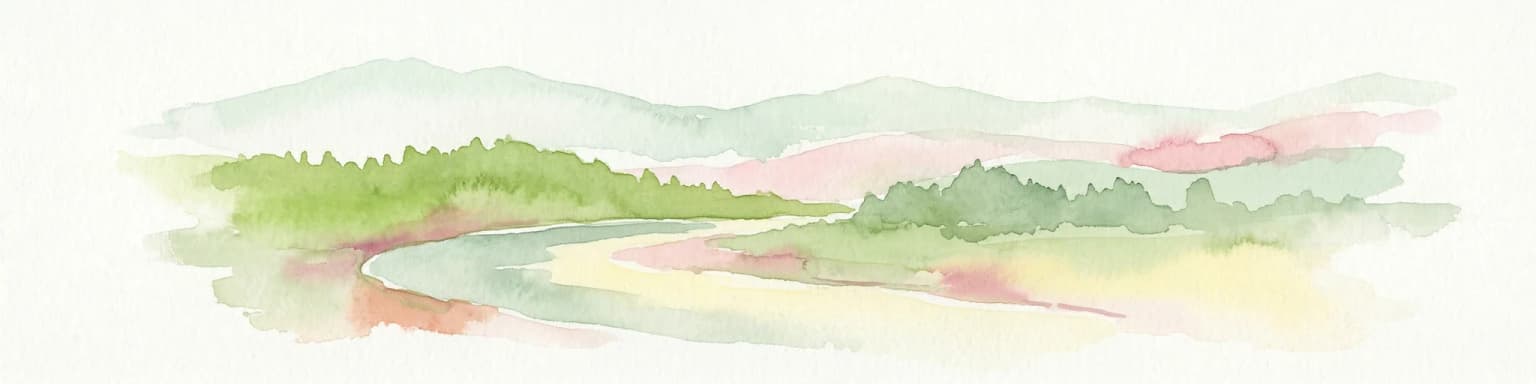
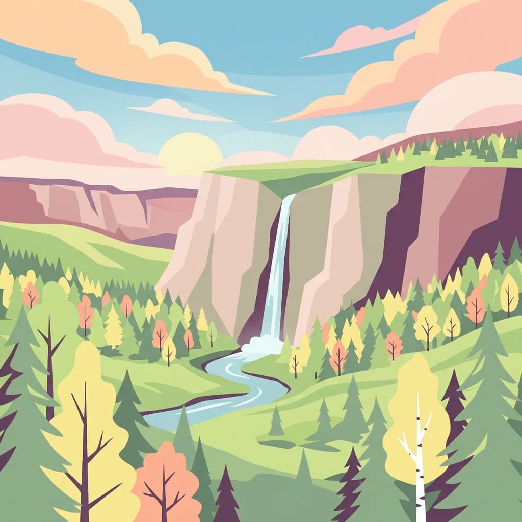
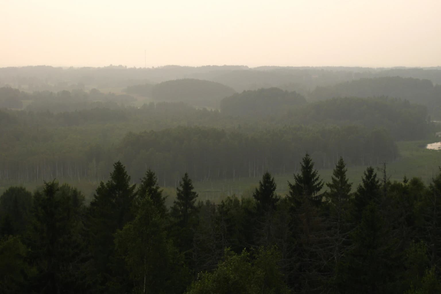
The physical landscape of Karula National Park is defined by the Karula Uplands, a terrain of modest but varied elevation created by glacial deposition and subsequent erosion processes. The upland character is expressed in the sequence of hills and valleys that create a continuously undulating terrain, with slopes of varying steepness and aspects. The highest point within the park, Rebasemõisa Tornimägi, rises to 137 meters above sea level and provides commanding views across the surrounding lake-dotted landscape. This hill, topped by an observation tower, has become one of the park's signature landscapes and a destination for visitors seeking to appreciate the panoramic quality of the upland terrain.

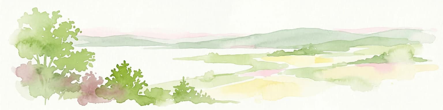
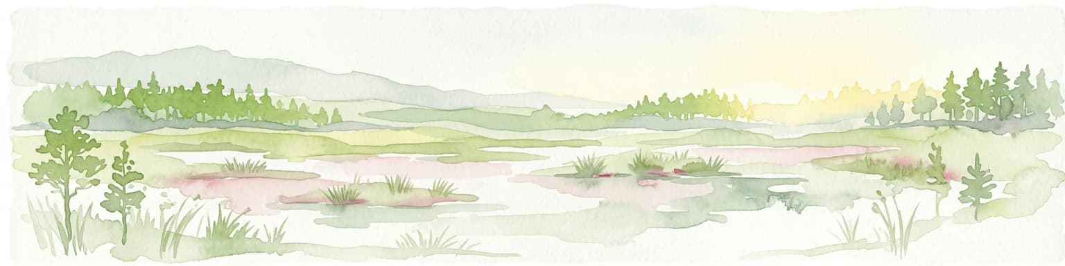
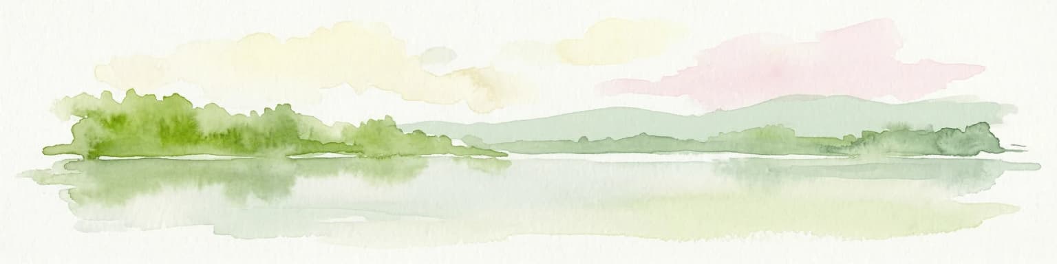
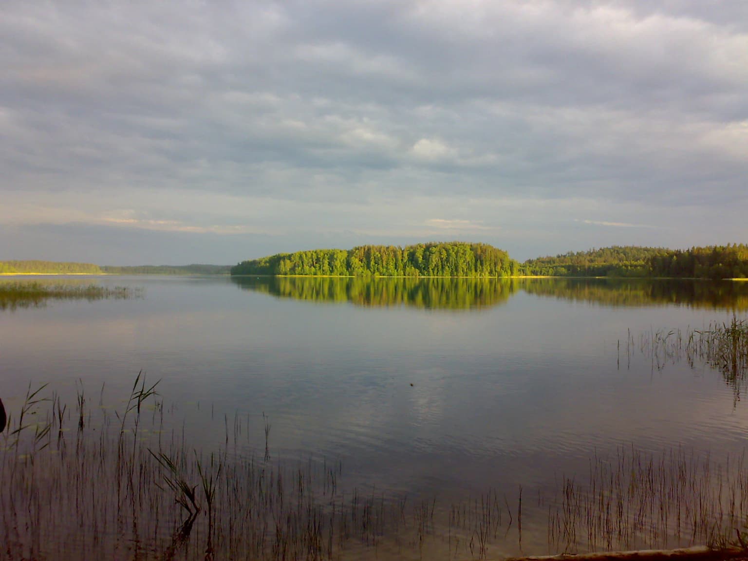
The lake-studded nature of the park represents one of its most visually distinctive characteristics. The approximately 40 lakes within the park boundaries range from small, nearly pond-like bodies to substantial lakes of several hectares. Many feature the marshy or boggy shores that develop when lakes have gradual margins and receive significant inflow of nutrient-poor groundwater. Ähijärv stands as the largest and most scenically prominent of these water bodies, located adjacent to the park's visitor center and serving as a focal point for interpretation and recreation. The lakes are distributed across the upland terrain in a pattern that reflects the underlying glacial geology, often occupying hollows between the hills or extending along valley floors.

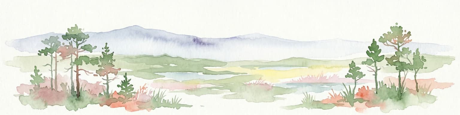
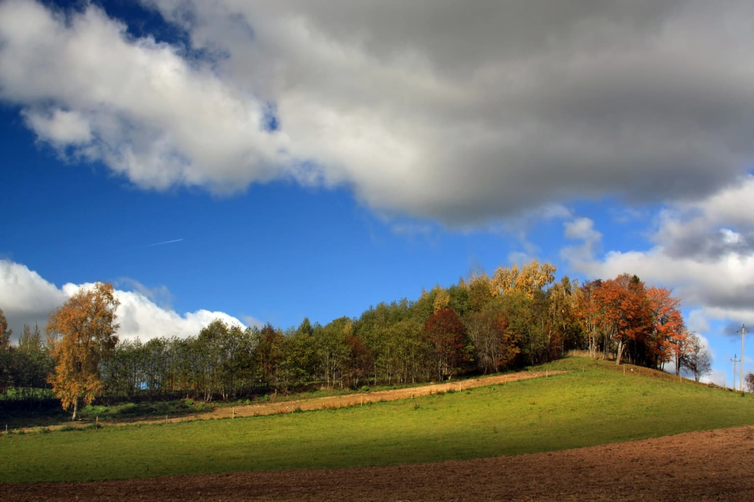
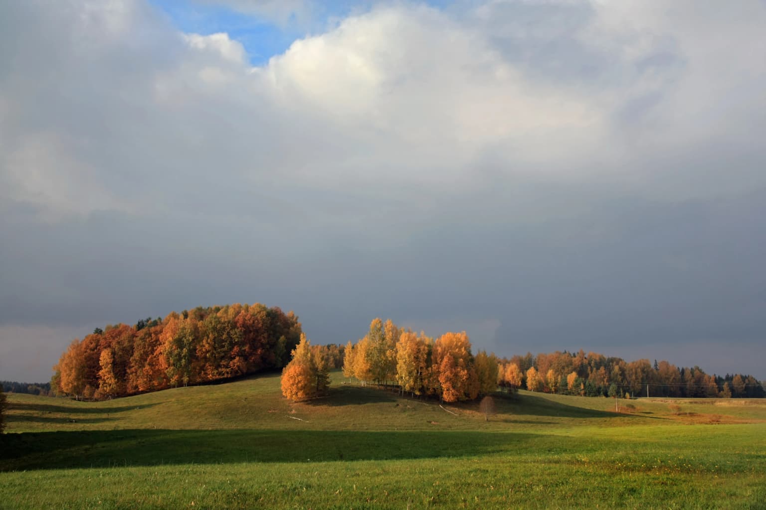
The forest cover that dominates the park creates a landscape of considerable visual unity while providing structural diversity through variation in species composition, age, and density. Small bogs and wetland areas are interspersed throughout the forest matrix, their dark waters and distinctive vegetation contrasting with the surrounding woodland. Streams and small rivers drain the upland terrain, carrying water from the numerous lakes and wetland catchments toward the broader river systems that flow across southeastern Estonia. The traditional cultural landscape, with its pattern of small fields, meadows, and farmsteads scattered through the otherwise forested terrain, adds another dimension to the park's visual character and reflects the long history of human presence in this region.

Calm lake with reeds in the foreground reflecting a dense forest across the water under a cloudy sky
Lake Ähijärv reflecting the forested shoreline under a cloudy sky in Karula National Park

Karula National Park ecosystems, habitats, and plant life

The ecological character of Karula National Park reflects the combination of diverse habitats within a relatively compact area, creating conditions that support notable biodiversity. The forest-dominated landscape provides extensive habitat for both woodland species and those requiring forest edges and openings, while the network of lakes, wetlands, and small bogs adds aquatic and semi-aquatic habitats of particular importance for waterfowl, amphibians, and insects. The hilly terrain creates variation in exposure, soil moisture, and microclimate that further increases habitat diversity across the park.

The flora of the park includes several species of particular conservation significance within the Estonian context. The Baltic orchid and mezereon represent species that have declined across much of their European range and remain protected under Estonian nature conservation legislation. The daisyleaf grape fern holds special significance as a species known from only three locations throughout Estonia, with Karula National Park serving as one of these critical sites. These rare species are associated with the diverse forest types, old-growth elements, and the particular combination of soil and moisture conditions found within the park's boundaries.

The wetland systems within the park, though individually small, contribute significantly to the overall ecological value of the protected area. The lakes, bogs, and marshy areas support characteristic communities of water plants, amphibians, and insects, while providing foraging and breeding habitat for birds. The streams and small rivers that drain the upland terrain support aquatic communities adapted to the cool, clear conditions typical of groundwater-fed systems in this region. This aquatic network connects the various habitat types within the park and provides corridors for species movement across the protected area.

Rolling green fields and hills with autumn-colored trees under a partly cloudy sky
Rolling hills with autumn foliage in Karula National Park

Karula National Park wildlife and species highlights

The wildlife community of Karula National Park reflects the diverse habitats provided by the forest-dominated landscape with its network of lakes, wetlands, and traditional agricultural areas. Among the most significant species from a conservation perspective are the birds of prey that breed in the park, including the lesser spotted eagle and black stork, both of which are species of European conservation concern. The lesser spotted eagle, though more common in some other parts of its range, has suffered significant population decline across much of Europe and the park's population represents an important component of Estonian breeding groups. The black stork, with its more restricted distribution, finds suitable habitat in the forest and wetland mosaic that characterizes much of the park.

Mammal populations within the park include species typical of Estonian forests, with elk being among the most commonly observed large mammals. The Eurasian lynx maintains a population within the park, representing one of the larger predators in the Estonian ecosystem, while the European polecat, a member of the weasel family, is also present despite being less frequently observed. These predator species depend on the prey populations supported by the diverse habitats within the park and contribute to the ecological balance of the protected area.

The bat fauna includes the pond bat, a species associated with water bodies where it forages over lake surfaces and among wetland vegetation. This species, like other bats in Estonia, benefits from the protected area status that ensures the preservation of suitable foraging habitat and roosting sites within the forest matrix. The lakes and wetlands also support populations of waterfowl and other birds associated with aquatic habitats, contributing to the overall species richness that makes Karula notable despite its small size.

Forest landscape with rolling hills and distant horizon viewed from an observation tower
View from Tornimäe observation tower looking south in Karula National Park

Karula National Park conservation status and protection priorities

Karula National Park represents an important component of Estonia's protected area network, serving as a conservation stronghold for the distinctive landscapes and species of the Karula Uplands region. The designation as a national park provides a level of protection that acknowledges both the natural values of the area and its significance as a representative of the southern Estonian landscape character. The park's small size relative to Estonia's other national parks makes it no less important, as the concentration of biodiversity within its boundaries justifies the conservation attention it receives.

The presence of species such as the lesser spotted eagle and black stork places the park within the European network of important bird areas, contributing to the conservation of these species across their ranges. The protection of rare plant species, particularly the daisyleaf grape fern found in only three Estonian locations, ensures the preservation of genetic material and population structures necessary for the long-term survival of these species. The forest ecosystem, covering the majority of the park's area, stores significant quantities of carbon and provides ecosystem services including water regulation and soil protection that extend beyond the park's boundaries.

The traditional cultural landscape that characterizes parts of the park, with its patterns of small fields, meadows, and dispersed farmsteads, represents a conservation value in its own right. These landscapes, shaped by generations of traditional land use, harbor biodiversity associated with open habitats and provide connectivity between the core natural areas within the park. The preservation of these cultural landscape elements alongside the more natural habitats creates a conservation approach that recognizes the intertwined history of human use and natural processes in shaping the contemporary character of the Karula region.

Karula National Park cultural meaning and human context

The cultural dimension of Karula National Park reflects the long history of human presence in the Karula Uplands region and the traditional land-use patterns that have shaped the landscape over centuries. The park encompasses areas associated with the historical Karula Parish, an administrative and cultural unit that gave its name to both the upland region and the protected area. The dispersed settlement pattern characteristic of southeastern Estonia, with its network of small farmsteads, small fields, meadows, and patches of woodland, creates a cultural landscape that is distinct from the more nucleated village patterns found in other parts of Estonia.

The heritage cultural landscapes within the park, particularly in areas such as Lüllemäe, represent landscapes that developed over several thousand years of continuous human use and adaptation. These landscapes, with their characteristic combination of small agricultural fields, woodland patches, wetlands, and farmsteads, embody the traditional land-use practices that shaped much of lowland Estonia before modern agricultural intensification. The preservation of these cultural landscape elements within the national park boundary recognizes their ecological value as well as their cultural significance, creating habitats for species associated with open and semi-open environments while maintaining connections to Estonia's rural heritage.

The local population within and around the park continues to speak the distinctive dialect characteristic of southeastern Estonia, adding a linguistic dimension to the cultural context of the protected area. The Karula Hoiu Ühing, established in 2001, provides a mechanism for local community involvement in park management and represents the ongoing connection between the protected area and the people who live in the region. This community engagement supports the long-term sustainability of conservation efforts by maintaining the connections between local people and the landscape that the national park protects.

Top sights and standout views in Karula National Park

Karula National Park offers visitors a compact but rich landscape experience centered on the distinctive hilly terrain of the Karula Uplands with their network of lakes and extensive forest cover. The observation tower on Rebasemõisa Tornimägi provides panoramic views across the lake-dotted landscape, offering a comprehensive perspective on the park's character. The visitor center located beside Ähijärv, the park's largest lake, serves as the starting point for exploration and interpretation of the park's natural and cultural values. The diversity of landscapes within a relatively small area allows visitors to experience forest, wetland, lake, and cultural landscape environments within a single visit. The presence of species such as black stork and lesser spotted eagle provides opportunities for wildlife observation, while the network of hiking trails allows exploration of the park's various habitats and scenic areas.

Best time to visit Karula National Park

The character of Karula National Park shifts meaningfully across the seasons, with each period offering distinct qualities for visitors. The summer months bring the fullest development of the park's landscape character, with forests in full leaf, lakes at their most accessible, and the longest days providing extended opportunities for exploration. This is the peak season for wildlife observation, particularly for birds, and the warm conditions support full access to the trail network. The spring and autumn seasons bring different but equally compelling qualities, with spring bringing fresh green growth and migratory birds while autumn displays the characteristic colors of deciduous forest transformation. Winter reveals a quieter, more austere landscape, with snow-covered terrain offering different recreational opportunities and the possibility of observing species such as elk in more open conditions when forest cover provides less concealment.

Park location guide

Geography guide, regional context, and park location map for Karula National Park

Karula National Park park geography, regions, and map view in Estonia
Understand where Karula National Park sits in Estonia through a broader geographic reading of the surrounding landscape, nearby location context, and its mapped position within the national park landscape.

How Karula National Park fits into Estonia

Estonia is a parliamentary republic and member of the European Union and NATO. With a population of about 1.4 million, it is one of the least populous EU member states. The official language is Estonian, and the currency is the Euro.

Wider geography shaping Karula National Park in Estonia

Estonia is situated on the eastern coast of the Baltic Sea in Northern Europe. It borders the Gulf of Finland to the north, Latvia to the south, and Russia to the east. The territory includes the mainland, the islands of Saaremaa and Hiiumaa, and over 2,300 smaller islands and islets.

Map view of Karula National Park

Use this park location map to pinpoint Karula National Park in Estonia, understand its exact geographic position, and read its mapped placement within the surrounding landscape more clearly.

Pigeon | © OpenStreetMap contributors

Location context for Karula National Park

Valga CountyVõru County

Explore the varied scenery, extensive forest cover, and wetland habitats that define Karula National Park's unique upland terrain.

Karula National Park Photos: Visual Guide to Estonia's Rolling Hills and Lake-Dotted Protected Landscape
Delve into a visual collection of Karula National Park's distinctive environments, from its approximately 40 lakes and marshy shores to the encompassing forest ecosystems. These images offer a crucial understanding of the park's rich biodiversity, its traditional cultural landscape, and the overall protected-area character of the Karula Uplands.

A grassy hill with autumn-colored trees under a partly cloudy sky

Snow-covered trees under a sunset sky with hilly terrain in the background.

Calm lake with reeds in the foreground reflecting a dense forest across the water under a cloudy sky

Rolling green fields and hills with autumn-colored trees under a partly cloudy sky

Forest landscape with rolling hills and distant horizon viewed from an observation tower

Park atlas

Expand your park discovery by tracing the geographic context and connected protected landscapes surrounding Karula National Park.

Explore Other National Parks and Protected Areas Near Karula National Park in Southern Estonia
After exploring Karula National Park, continue your geographic journey by browsing other national parks and protected areas located across southern Estonia and its adjacent regions. Comparing these conservation landscapes provides valuable context on regional biodiversity, varied terrain, and broader protected area networks within a consistent atlas framework.
Watercolor illustration of a river flowing through a valley with hills and greenery
National park

Gauja National Park: Latvia's Largest National Park Atlas and Protected Landscape

Mapped terrain and diverse natural heritage in Vidzeme.

As Latvia's largest national park, Gauja offers a deep dive into a protected landscape defined by the ancient Gauja River valley and its spectacular Devonian sandstone cliffs. This page provides essential geographic context and atlas-style information, detailing the park's mapped boundaries, unique geological formations, and the rich tapestry of natural and cultural heritage that makes it a cornerstone of the region's protected lands. Explore the varied terrain, from river valleys to rolling uplands, all within a meticulously mapped conservation area.

Area
917.87 km²
Established
1973
IUCN
II
Relief
Mixed relief
Watercolor painting showing a wetland landscape with scattered trees, marshy areas, and distant mountains under a muted sky
National parkViljandi County

Soomaa National Park: Estonia's Wilderness Wetland Landscape Atlas

Explore mapped protected peat bogs and dynamic floodplains in Viljandi County.

Soomaa National Park is a protected wilderness area in Estonia renowned for its extensive peat bog systems and unique floodplains. This national park, located primarily in Viljandi County, showcases some of Europe's largest intact wetland landscapes, characterized by seasonal floods that transform the terrain into vast aquatic environments. MoriAtlas provides detailed geographic context for Soomaa, allowing for exploration of its protected boundaries and landscape features within the broader atlas of European natural areas.

Area
359 km²
Established
1993
Relief
Lowland
Climate
Boreal
Watercolor illustration of a lake, forests, and hills
National park

Alutaguse National Park: Eastern Estonia's Vast Peat Bog and Forest Protected Landscape

Mapping Protected Wetlands and Boreal Ecosystems in Estonia

Alutaguse National Park, a newly established national park in eastern Estonia, offers a unique atlas perspective on extensive peat bog ecosystems and boreal forests. Covering over 443 square kilometers, it represents some of the most intact wetland landscapes in the country. The park's creation unified eleven protected areas, safeguarding a critical habitat for rare species and showcasing the distinctive geography of the Alutaguse Lowland.

Area
443.31 km²
Established
2018
Relief
Lowland
Climate
Temperate
Watercolor illustration showing a lake, trees, and distant hills
National parkLatgale

Rāzna National Park: Protected Landscape and Regional Geography in Latgale

Explore the mapped terrain of Latvia's largest lake region.

Rāzna National Park, situated in the Latgale region, provides an essential focal point for understanding eastern Latvia's protected landscapes. This national park, recognized for its extensive glacial terrain and the significant Lake Rāzna, offers a distinct geographic profile. Users can explore its mapped boundaries, discover its role as a vital protected area, and understand its landscape context within the broader atlas of Latvia's natural heritage.

Area
596.14 km²
Established
2007
IUCN
II
Relief
Highland
National park

Ķemeri National Park: Discover Latvia's Iconic Protected Bog and Wetland Geography

Explore a unique protected landscape with mapped bog ecosystems and regional natural terrain.

Ķemeri National Park in Latvia is a remarkable protected area, celebrated for its expansive and ecologically significant raised bog systems, particularly the Great Ķemeri Bog. This national park showcases a unique geographical character, featuring natural sulfur springs, therapeutic muds, and a series of ancient lagoon lakes that support rich birdlife. Its diverse wetland habitats and distinct peatland landscapes offer a compelling focus for atlas-based discovery and understanding the regional geography of the Latvian coast.

Area
381.65 km²
Established
1997
IUCN
II
Relief
Lowland
Watercolor painting of a lake with green forested islands and distant mountains under a pastel sky
National parkPskov Oblast

Sebezhsky National Park: National Park within Pskov Oblast's Regional Geography

Mapped protected landscape and regional context

Sebezhsky National Park is a designated national park offering a distinct protected landscape within the Pskov Oblast of northwestern Russia. This page provides essential details for atlas exploration, focusing on the park's mapped boundaries, its role as a protected area, and its contribution to the regional geography of the Pskov Oblast. Users can understand its place within a broader mapping of Russia's natural territories and protected lands.

Area
500.21 km²
Established
1996
IUCN
II
Relief
Highland
Watercolor illustration showing a wetland landscape with grassy fields, a river, and trees in the background
National parkLääne County

Matsalu National Park: Explore Estonia's Premier Wetland National Park Geography and Protected Area

Discover mapped landscapes and bird migration routes in Lääne County.

Matsalu National Park, located in Lääne County, Estonia, is a prime example of a protected wetland ecosystem of international significance. This page delves into the park's unique geographic features, including the shallow brackish Matsalu Bay, the expansive Kasari River delta, and the numerous islands that form its coastal mosaic. Users can explore the park's protected boundaries and understand its critical function as a major staging area for migratory birds, offering a detailed atlas-level view of this important natural landscape.

Area
486.1 km²
Established
1957
Relief
Lowland
Climate
Temperate
National park

Lahemaa National Park: Explore Estonia's Coastal Geography and Protected Landscape Atlas

Mapped terrain, bogs, and coastal peninsulas of a major protected area.

Delve into the detailed geography of Lahemaa National Park, Estonia's largest national park situated on the southern coast of the Gulf of Finland. This protected landscape encompasses a diverse range of terrain, from the deeply indented coastline and ancient glacial boulders to expansive raised bogs and rolling boreal forests. Understand the park's mapped boundaries and its significance as a premier destination for exploring distinct Baltic natural environments and historical coastal villages. The park's unique blend of natural features and cultural heritage makes it a key point of reference in any protected-area atlas.

Area
747 km²
Established
1971
IUCN
II
Relief
Lowland

Common questions about visiting, size, designation, and location context for Karula National Park

Karula National Park FAQs for park facts, access, geography, and protected area context
Find quick answers about Karula National Park, including protected-area facts, park geography, trail and visitor context, and how the park fits into its surrounding country and regional landscape.
MoriAtlas Explorer

Continue Your Protected Areas Search Across the Global Atlas

Deepen your exploration by continuing the structured search for national parks and protected areas worldwide. Utilize the comprehensive filtering capabilities to compare different conservation landscapes and refine your understanding of global park geography. Discover more about the distribution and characteristics of protected natural areas.

Global natural geography