Mori Atlas logo
Nearby park discovery

Mapping regional landscapes and the distribution of protected terrain around the Saale valley

Geographic Atlas of Protected Areas and Nature Reserves Near Kobersfelsen in Thuringia

This geographic overview focuses on the distribution of protected landscapes and nature reserves in the immediate vicinity of Kobersfelsen. Through mapped terrain analysis, users can identify regional clusters of silicate cliff sites, slope woodlands, and related conservation areas within the Thuringian Slate Mountains. Use these visual tools to trace the spatial relationships between individual protected zones across the local geography.

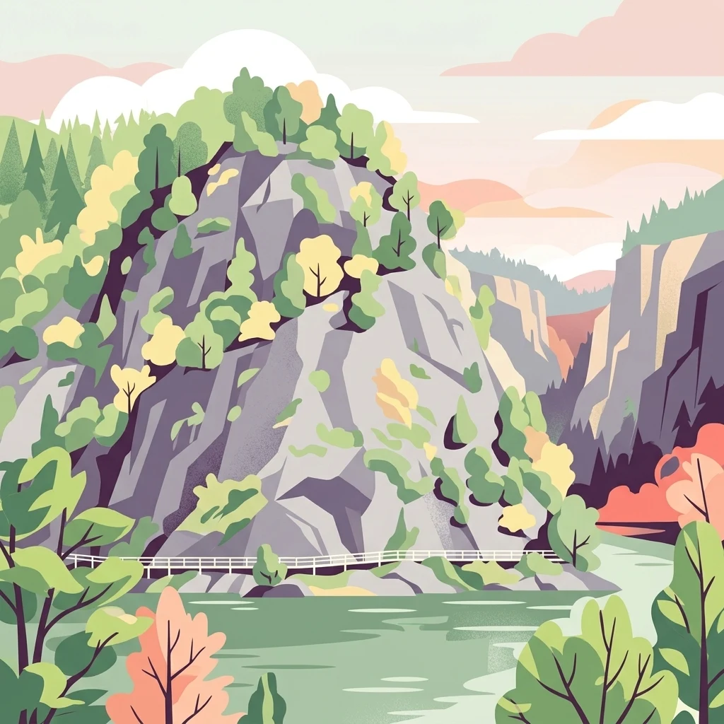
A stylized vector illustration of steep, rocky cliffs rising above a river with a small white footbridge crossing the base.

A small silicate cliff sanctuary above the Saale reservoir in the Thuringian Slate Mountains

Kobersfelsen Nature Reserve

Kobersfelsen is a small nature reserve in the Saale-Orla district of Thuringia, Germany, centered on a steep silicate cliff that drops toward the Burgkhammer reservoir on the River Saale. Designated in 1989, it covers roughly six hectares of cliff, fissure, and slope woodland habitats that together form one of the distinctive rocky outcrops of the Thuringian Slate Mountains. The reserve hosts specialized rock-crevice vegetation, including the St. Bernard's lily and the Carthusian pink family of plants that thrive on the thin soils of the silicate rock. The protected area is also part of the larger Habitats Directive site Burgk-Bleiberg-Kobersfelsen, connecting it to a wider network of conservation areas in the region. The cliff is paired with mixed deciduous slope forests and pioneer plant communities, creating a compact but ecologically rich zone. Beyond its conservation value, the Kobersfelsen carries a romantic local legend tied to the medieval castle of Burgk above the Saale. Although modest in size, the reserve is notable for combining geological, botanical, and cultural significance in a single landscape. It illustrates how isolated rock outcrops in the slate highlands can serve as reservoirs of specialized flora and fauna, while also functioning as landmarks within long-distance hiking routes that follow the Saale valley.

Location
Germany
Park type
Nature reserve
Established
1989
Area
0.1 km²
Kobersfelsen Nature Reserve Map and Geography
Regional park map

See the ranked park cluster in its geographic setting

Nearby parks around Kobersfelsen Nature Reserve

This regional map shows the same 20 nearby parks ranked below around Kobersfelsen Nature Reserve. Select a ranked marker to highlight that park’s boundary where boundary data is available.
Reference park: Kobersfelsen Nature ReserveRanked nearby park20 nearby parks shown
20 nearby parks

Distance ranked collection and regional park geography comparisons

Parks and Protected Areas Geographically Near Kobersfelsen

Examine the ranked collection of protected areas situated geographically near Kobersfelsen to analyze surrounding landscape patterns. Geographic separation, direction, and recorded environmental metrics provide structured comparison signals across neighboring regional terrain.
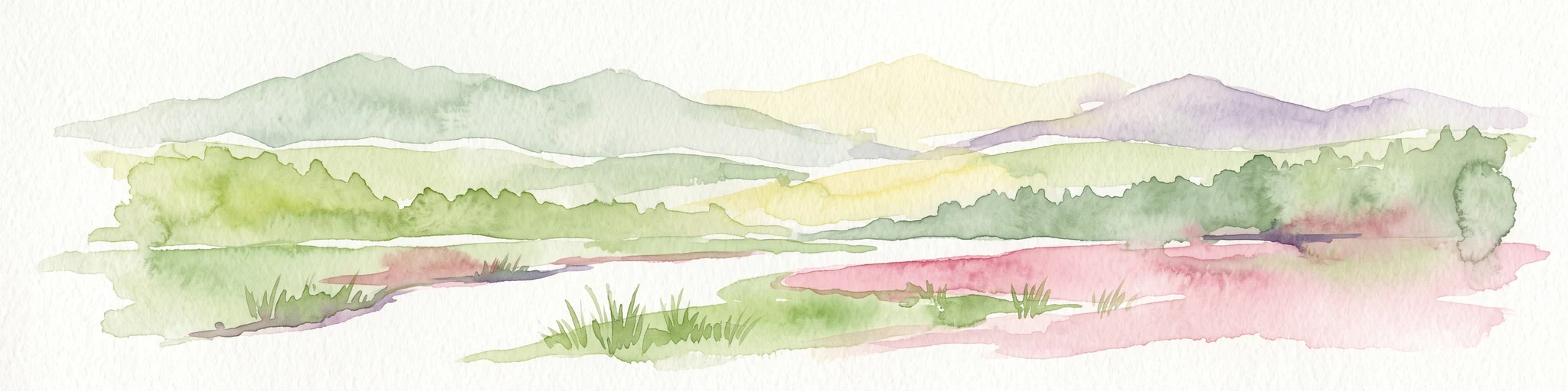
A horizontal watercolor painting showing a soft, stylized landscape of rolling green hills, gentle slopes, and a calm body of water against a light pastel sky.
Nature reserveThuringia
About 8.3 km away#1 closest

North

Plothener Teiche Nature Reserve: Geographic Map and Protected Wetland Landscape Overview

Historic pond landscapes in the Saale-Orla-Kreis region of Thuringia

Plothener Teiche serves as a defining example of medieval-origin fishpond management in central Germany. This protected landscape combines open water basins, reed-lined margins, and woodland edges within the Thüringer Schiefergebirge and Obere Saale Nature Park. The area provides essential habitat for migratory bird populations and stands as a restored model of European wetland ecology.

Established
1967
IUCN
IV
Relief
Lowland
Climate
Temperate
Protected landscapeBavaria
About 14 km away#2 closest

Southwest

Naturpark Frankenwald: Geographic Profile of Bavaria's Forested Protected Landscape

A vast, interconnected upland spanning the Bavaria and Thuringia border

Naturpark Frankenwald functions as a large-scale managed nature preserve that integrates cultural heritage with ecological conservation. The terrain consists of gentle mountainous ridges, narrow river valleys, and extensive mixed forests that form a continuous landscape belt across northern Bavaria. This profile provides an overview of the regional geography, boundary extent, and the natural features that define this significant central German upland area.

Area
1,023 km²
Established
1973
Relief
Upland
Climate
Temperate
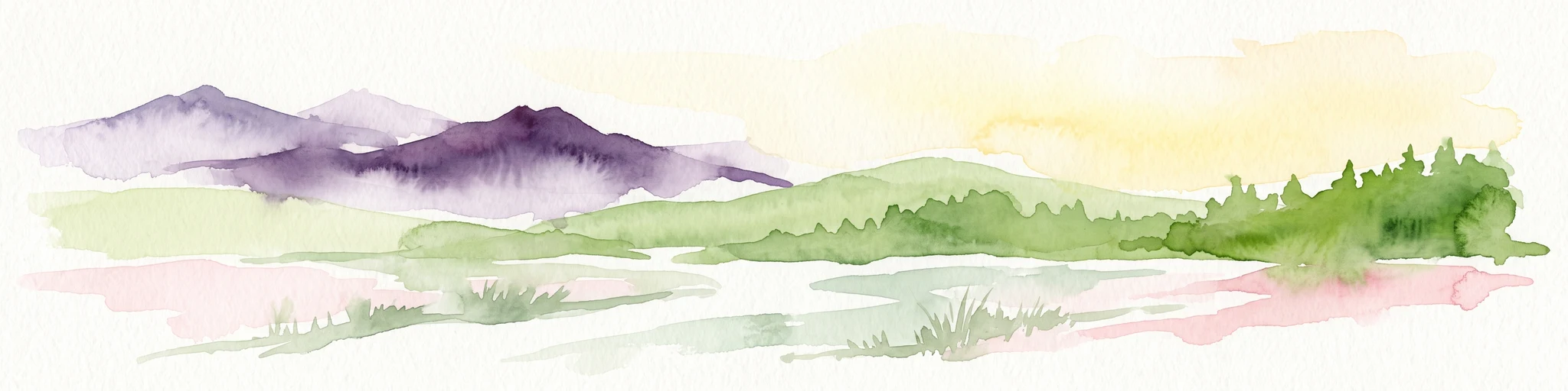
A soft watercolor painting of a rolling landscape with green hills, scattered trees, and pale, earthy foreground textures.
Nature reserveThuringia
About 20 km away#3 closest

Northwest

Buchenberg bei Krölpa Nature Reserve: Mapped Geography and Protected Landscape Context

A restored limestone quarry habitat located in Thuringia, Germany.

Buchenberg bei Krölpa stands as a regionally significant nature reserve located east of Krölpa. Formerly a site of limestone extraction, the protected area now functions as a managed habitat, characterized by its broken, stepped terrain and slopes that host native orchid species and dry grassland vegetation within the broader Thuringian countryside.

Area
0.201 km²
Established
1996
IUCN
IV
Relief
Upland
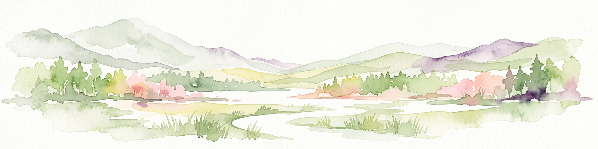
A soft watercolor painting showing a pond landscape with rolling hills in the background, green trees in the midground, and tall grasses along the water edge.
Nature reserveSachsen
About 21 km away#4 closest

East

Großer Weidenteich Nature Reserve: Mapping the Biodiversity of the Saxon Vogtland

A vital protected landscape shaped by traditional grazing management

Großer Weidenteich acts as a crucial refuge for diverse species, including nearly 700 butterfly varieties and numerous breeding bird populations. The reserve's landscape is characterized by a mix of wetlands, meadows, and shrubby margins that rely on continuous sheep grazing for structural maintenance. This area provides a clear perspective on how small-scale water bodies and varied vegetation patches contribute to the health of the broader Saxon regional ecosystem.

Area
3.349 km²
Established
1994
IUCN
IV
A horizontal watercolor painting of a wooden boardwalk path cutting through a forest clearing with scattered pine trees, rendered in soft light tones.
Nature reserveThuringia
About 22 km away#5 closest

Northeast

Pöllwitzer Wald Nature Reserve: Geographic Overview and Protected Area Mapping

Historic forest landscapes in the Thuringia region

Pöllwitzer Wald represents a dense, historically significant nature reserve located near the Thuringia and Saxony border. This detailed overview covers the essential geographic features, including the unique moorland basin, coniferous forest transitions, and the remnants of early modern log floating infrastructure that shaped the regional topography.

Area
9.62 km²
Relief
Upland
Climate
Temperate
Access
Easy access
A horizontal watercolor illustration showing green rolling hills, distant light green ridges, and sparse trees against a white background.
Nature reserveThuringia
About 37 km away#6 closest

North

Spitzenberg-Schießplatz Rothenstein-Borntal Nature Reserve and Saale Valley Geography

Protected forest and grassland terrain in Thuringia

Spitzenberg-Schießplatz Rothenstein-Borntal is a protected nature reserve in Thuringia, covering hundreds of hectares of forest slopes, plateaus, and open clearings. This reserve is recognized for its unusual structural diversity, ranging from closed valley woodland to sun-exposed semi-dry grassland, providing essential habitat within the middle Saale valley region.

Area
5.542 km²
Established
1961
IUCN
IV
Protected areaThuringia
About 37 km away#7 closest

Northeast

Wälder um Greiz und Werdau: Protected Landscape and Regional Woodland Atlas for Thuringia

Continuous forest terrain on the Thuringia and Saxony border

The protected landscape of Wälder um Greiz und Werdau covers rolling hills and valleys between the Pleiße and Weiße Elster rivers. Use this atlas resource to understand the park's mapped boundaries, forest pond distribution, and its role as a green corridor between regional townscapes.

Area
62 km²
Established
1961
Relief
Upland
Climate
Temperate
Nature reserveThuringia
About 39 km away#8 closest

North

Leutratal und Cospoth Nature Reserve: Mapping Calcareous Grasslands in Thuringia

A study of limestone slopes and orchid-rich habitats in central Germany

Leutratal und Cospoth serves as a prime example of protected Muschelkalk landscape in Thuringia. This reserve captures the complex transition between open grasslands, scrub, and beech forests within the middle Saale valley, offering deep insights into the region's unique geological and botanical heritage.

Area
5.829 km²
Established
1961
IUCN
IV
Relief
Upland
A soft watercolor painting of a green landscape with trees, rolling hills, and a body of water under a light sky.
Nature reserveThuringia
About 41 km away#9 closest

North

Jenaer Forst Nature Reserve: Mapping the Protected Limestone Plateau and Forest Terrain

Protected nature reserve in Thuringia, Germany

Jenaer Forst is a 540 hectare nature reserve in Thuringia, characterized by dry calcareous woodland and active restoration work. The site is a study in landscape recovery, balancing forest management with the protection of orchid-rich habitats on its limestone plateau. This detailed atlas entry provides insights into the park boundaries, geological features, and ecological significance of this peri-urban forest zone.

Area
5.411 km²
Established
2008
IUCN
IV
Nature reserveSaxony
About 43 km away#10 closest

East

Waschteich Reuth Nature Reserve: Mapped Wetland Landscapes of the Saxony Vogtland

Protected pond habitats and regional woodland ecosystems

Waschteich Reuth serves as a compact yet ecologically rich nature reserve in the Vogtland. Its protected boundaries encompass a traditional pond with floating-leaf vegetation, damp meadows, and native oak-hornbeam forest. This site stands as a prime example of Saxony's wetland heritage, illustrating the importance of small-scale habitat preservation within the broader German river network.

Area
0.212 km²
Established
1995
Water
Major water bodies
Nature reserveWeimarer Land
About 44 km away#11 closest

Northwest

Seeteich Blankenhain Nature Reserve: Geographic Map and Protected Area Context

Wetland landscape situated in the Weimarer Land district

Seeteich Blankenhain is a distinct nature reserve in Germany, characterized by its historic pond and surrounding moist lowland ecosystems. This site remains a focal point for ecological research and conservation, offering a layered landscape of reed zones and woodland that supports a diverse bird community. Its presence within the regional geography of Weimarer Land highlights the importance of small-scale wetland preservation in the Thuringian landscape.

Established
1991
Relief
Lowland
Access
Access unknown
Scope
Terrestrial
Protected landscapeThuringia
About 46 km away#12 closest

Northeast

Zaufensgraben Protected Landscape: Geography and Natural Boundaries in Thuringia, Germany

A steep-sided stream valley and protected nature corridor near Gera

Zaufensgraben is a protected landscape corridor centered on a three-kilometer stream valley in Gera, Thuringia. Renowned for its steep gradient within the Weiße Elster system, this area preserves older willow stands and exposes complex Zechstein geology. Its mapped boundaries offer a look at how small-scale protected terrain maintains ecological character within an urbanized historical setting.

Area
0.11 km²
Relief
Upland
Scope
Terrestrial
Water
Minor water
Nature reserveThuringia
About 47 km away#13 closest

North

Windknollen Nature Reserve: Mapping Protected Limestone Landscapes in Thuringia

Examining the plateau geography and former training site boundaries

The Windknollen nature reserve occupies a distinct position on the Muschelkalk limestone plateau near Jena. Its protected status reflects an evolution from historical battlefield use to a formal conservation area within the National Natural Heritage framework. The terrain is defined by exposed; dry-adapted vegetation across 185 hectares of highland geography.

Area
1.851 km²
Established
1997
IUCN
IV
A soft watercolor illustration showing gentle, rolling green hills and a small patch of wildflowers in the foreground on a white background.
Protected areaThuringia
About 47 km away#14 closest

Northwest

Großer Kalmberg Protected Area: Geography and Landscape of the Ilm-Saale-Platte

Examining the asymmetric summit and calcareous habitats in central Thuringia.

Großer Kalmberg rises as a focal point of the Ilm-Saale-Platte, offering a clear view into the geological history of the region. This summit integrates pine-forested slopes with protected dry grasslands and rocky outcrops, creating a complex mosaic of terrain that characterizes this part of Thuringia.

Area
2.64 km²
Established
1999
Relief
Mountain
Climate
Temperate
Protected landscapeThuringia
About 50 km away#15 closest

Northwest

Landschaftsschutzgebiet Mittleres Ilmtal: Protected Landscape Geography and Map Discovery

Thuringia regional atlas and protected area profile

Gain insight into the diverse topography of Landschaftsschutzgebiet Mittleres Ilmtal, which spans roughly 150 square kilometers. This protected landscape is characterized by its dramatic shifts from Buntsandstein forests in the Tannrodaer Sattel to the elevated Muschelkalk escarpments, offering a detailed case study in German mid mountain geography.

Area
150 km²
Relief
Upland
Climate
Temperate
Access
Access unknown
Natural monumentKarlovarský kraj
About 50 km away#16 closest

Southeast

Vernéřovské doly Natural Monument: A Geological Landmark in the Karlovarský kraj

Rare pegmatite mineralogy and historic mining terrain in western Czechia.

Located in the Cheb District, Vernéřovské doly functions as a specialized natural monument dedicated to preserving a quartz-amblygonite-microcline vein system. This protected area provides a window into hydrothermal ore formation, featuring geological structures comparable only to sites in Portugal and the Ural Mountains.

Area
0.003 km²
Established
1999
IUCN
III
Relief
Upland
Nature reserveThuringia
About 51 km away#17 closest

Northwest

Werra bis Treffurt mit Zuflüssen: Protected River and Floodplain Network in Thuringia

Mapping an extensive 191 kilometer Natura 2000 river corridor.

The Werra bis Treffurt mit Zuflüssen protected area serves as a vital ecological corridor in Thuringia. This site encompasses a complex mosaic of fast-flowing highland brooks, expansive floodplain meadows, inland salt sites, and rare dissolution lakes. Its geography bridges high-altitude source regions with lower river valleys, creating a distinctive landscape transect that supports essential freshwater habitats and rare aquatic species across the state.

Area
22.6 km²
Established
2008
IUCN
IV
Relief
Mixed relief
A horizontal watercolor painting depicting a landscape with soft, rolling hills in the background, a band of mixed forest with hints of autumn foliage in the midground, and a winding stream flowing through wetland grasses in the foreground.
Nature reserveThuringia
About 52 km away#18 closest

West

Pennewitzer Teiche und Unteres Wohlrosetal Nature Reserve: Thuringian Wetland Geography

A dense mosaic of historic ponds, moor woodlands, and framing stream valleys.

Located in Thuringia, this nature reserve is defined by an extraordinary density of aquatic habitats. The terrain features historic pond groups and flooded forest pits linked by brook valleys. This protected area serves as an essential example of the interplay between cultural pond construction and natural wetland ecosystems in central Germany.

Area
4.246 km²
Established
2004
IUCN
IV
Nature reserveThuringia
About 54 km away#19 closest

North

Lohholz Nature Reserve: Protected Forest and Meadow Mosaic in Thuringia

Mapped deciduous woodlands and river valley meadow geography

Lohholz constitutes an isolated nature reserve in Thuringia, showcasing a distinct mosaic of broadleaf forest and traditional orchard meadows. The terrain slopes toward the Saale river valley, featuring varied grassland communities and a vital spring-fed brook. This protected area offers a look at forest preservation within a landscape predominantly utilized for agricultural purposes.

Area
0.304 km²
Established
1995
IUCN
IV
Relief
Upland
Nature reserveThuringia
About 55 km away#20 closest

Northwest

Hohes Kreuz Nature Reserve: Mapping Forest Conservation in the Ilm District of Thuringia

A preserved oak-hornbeam landscape within the central German agricultural mosaic.

Hohes Kreuz is a protected nature reserve in Thuringia, Germany, renowned for preserving a residual oak-hornbeam forest on a Muschelkalk plateau. The site functions as an ecological refuge, supporting a wide variety of bird species and broadleaf vegetation while providing a striking contrast to the surrounding farmland of the Ilm district.

Area
0.105 km²
Established
1961
IUCN
IV
Relief
Upland
Distance methodology

Geographic measurements, not driving distances

How nearby park distances are calculated

Distances use park boundaries whenever the available geometry allows it. When one or both boundaries are missing, the mapped park locations provide a clearly labelled estimate. Every value represents straight-line geographic separation and does not use roads or routing.

Boundary distance

Calculated between the nearest points of both park boundaries.

Location-to-boundary estimate

Estimated from one mapped park location to the nearest boundary of the other park.

Mapped-location estimate

Estimated between the mapped locations of both parks.

MoriAtlas Explorer

Continue Exploring the Kobersfelsen Protected Nature Reserve and Its Regional Geography

Gain a comprehensive understanding of the Kobersfelsen nature reserve through its mapped boundaries and topographic features. MoriAtlas provides a clear look at how this vertical cliff landscape connects to the wider ecological network of the Thuringian Slate Mountains, offering insights into one of Germany's most distinct rocky habitats.