Mori Atlas logo
National parkKolovesi National Park

Discover the geographic identity and park boundaries of this protected natural area.

Kolovesi National Park: A Mapped Protected Landscape in Finland's Etelä-Savo Region

(Koloveden kansallispuisto)

Kolovesi National Park stands as a significant protected area within the scenic Etelä-Savo region of Finland, renowned for its extensive lake district. This page offers an atlas-driven perspective, focusing on the park's geographic setting, its mapped boundaries, and its role as a distinct natural landscape. Users can explore Kolovesi National Park as a key entity within Finland's protected lands, understanding its place in the broader regional geography and its visual representation on a map.

Lake archipelagoSaimaa ringed sealCave paintingsEastern FinlandIce age landscapePaddling destination

Kolovesi National Park

National park

Park overview

Structured park overview, official facts, and landscape profile for Kolovesi National Park

Kolovesi National Park park facts, protected area profile, and essential visitor context
Review the core facts for Kolovesi National Park, including designation, size, terrain, visitor scale, habitats, and operating context in one park-focused overview.

About Kolovesi National Park

Kolovesi National Park occupies a distinctive place among Finland's protected areas as a wilderness sanctuary where geological forces, ecological significance, and human history converge. The park forms part of the vast Saimaa lake system, the largest lake in Finland, and protects a labyrinth of islands, channels, and sheltered bays that characterize this southernmost extension of the lake district. The underlying bedrock, predominantly ancient granite, was carved and shaped by glacial ice during the Pleistocene epoch, leaving behind the distinctive craggy cliffs and rocky islets that define the park's visual character. These steep rock faces, many rising sheer from the water, create a dramatic backdrop that distinguishes Kolovesi from Finland's more heavily forested national parks. The park's ecological importance stems primarily from its role as a refuge for the Saimaa ringed seal, a subspecies that evolved in isolation following the formation of the Saimaa lake system approximately 9,000 years ago. This seal is among the rarest marine mammals in the world, and the protected waters of Kolovesi provide crucial breeding and resting habitat. Beyond its ecological function, the park preserves tangible evidence of prehistoric human activity through cave paintings discovered on several islands, particularly at Vierunvuori and Ukonvuori. These artistic expressions, created using natural pigments on sheltered rock faces, represent some of the oldest cultural heritage in Finland and offer a tangible connection to the people who inhabited these islands centuries ago.

Quick facts and research context for Kolovesi National Park

Kolovesi National Park lies in eastern Finland's lake district, near the city of Savonlinna. The park protects a chain of islands and sheltered waters in the Suur-Saimaa lake system, characterized by steep granite cliffs that rise dramatically from the lake surface. It was established in 1990 primarily to safeguard the habitat of the Saimaa ringed seal, a critically endangered subspecies found only in this region. The park features two marked hiking trails, with the longer route crossing Mäntysalo island. Ancient cave paintings at Vierunvuori and Ukonvuori represent some of the oldest known artistic expressions in Finland. The area receives approximately 17,200 visitors annually and is managed by Metsähallitus.

Park context

Deeper park guide and search-rich context for Kolovesi National Park

Kolovesi National Park history, landscape, wildlife, and travel context
Explore Kolovesi National Park through its history, landscape character, ecosystems, wildlife, conservation priorities, cultural context, and seasonal travel timing in a structured park guide built for atlas discovery and search intent.

Why Kolovesi National Park stands out

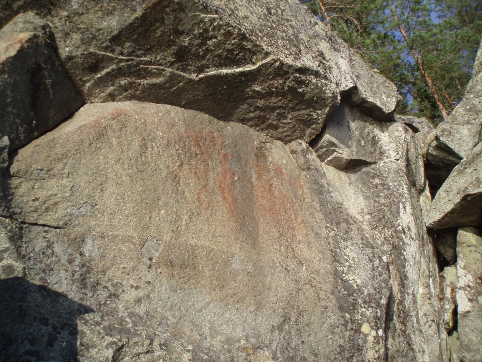
Kolovesi is best known as a critical sanctuary for the Saimaa ringed seal, a species that survives nowhere else on Earth. The park's dramatic island landscape, with its sheer cliffs and rocky outcrops rising from crystal-clear lake waters, defines its visual identity. The presence of ancient cave paintings at multiple sites adds a significant cultural and archaeological dimension, with the paintings at Vierunvuori featuring prominently in the park's official symbol. The prohibition of motorboats ensures the area retains a peaceful, wild character that enhances both the ecological experience and the sense of timelessness that visitors encounter paddling among the islands.

Rock face with faint red cave paintings and patches of moss and small plants.
Cave painting on a rock face in Kolovesi National Park.

Kolovesi National Park history and protected-area timeline

Kolovesi National Park was established in 1990 with an initial area of 23 square kilometers, primarily to protect the habitat of the Saimaa ringed seal and preserve the natural character of this distinctive lake archipelago. The park was later expanded to its current extent of approximately 61 square kilometers, reflecting the recognition of additional areas requiring protection within the broader Suur-Saimaa ecosystem. The establishment of the park represented a significant commitment by Finnish conservation authorities to protect one of the country's most ecologically sensitive and scenically distinctive areas. The selection of cave paintings at Vierunvuori as the park's official symbol reflects the cultural significance of these archaeological discoveries and their connection to the landscape. Administration of the park falls to Metsähallitus, the Finnish state enterprise responsible for managing state-owned conservation lands and outdoor recreation facilities throughout Finland.

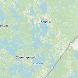
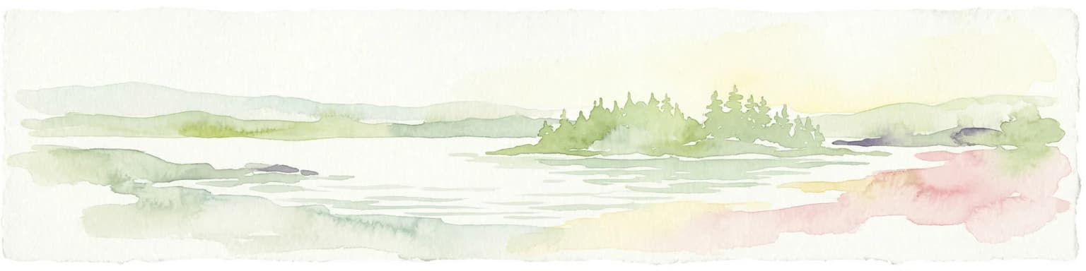
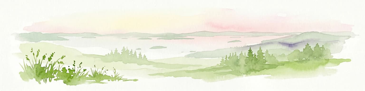
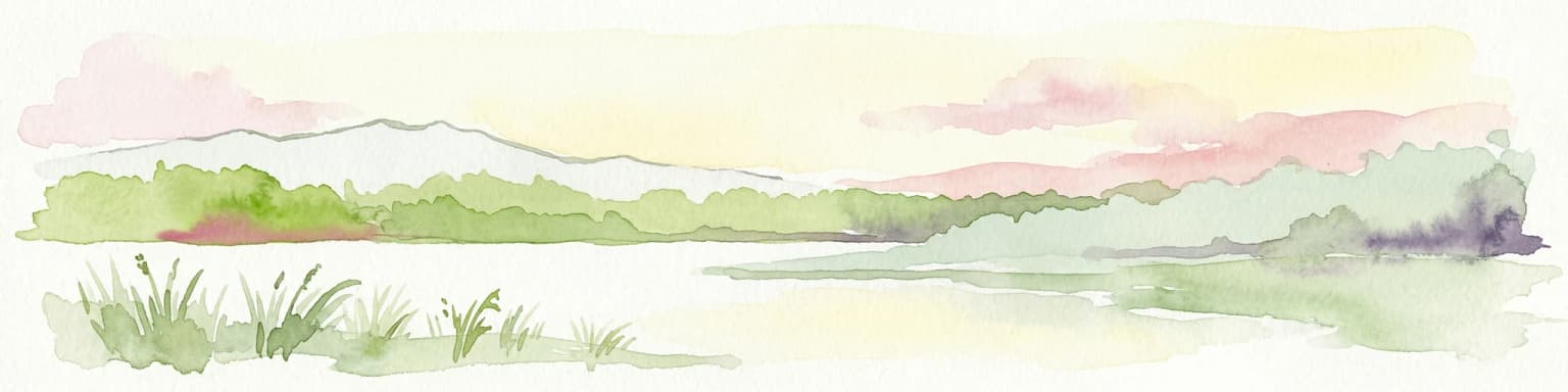
Kolovesi National Park landscape and geographic character

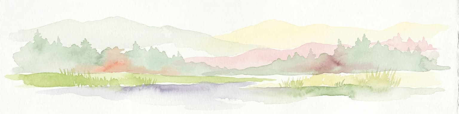
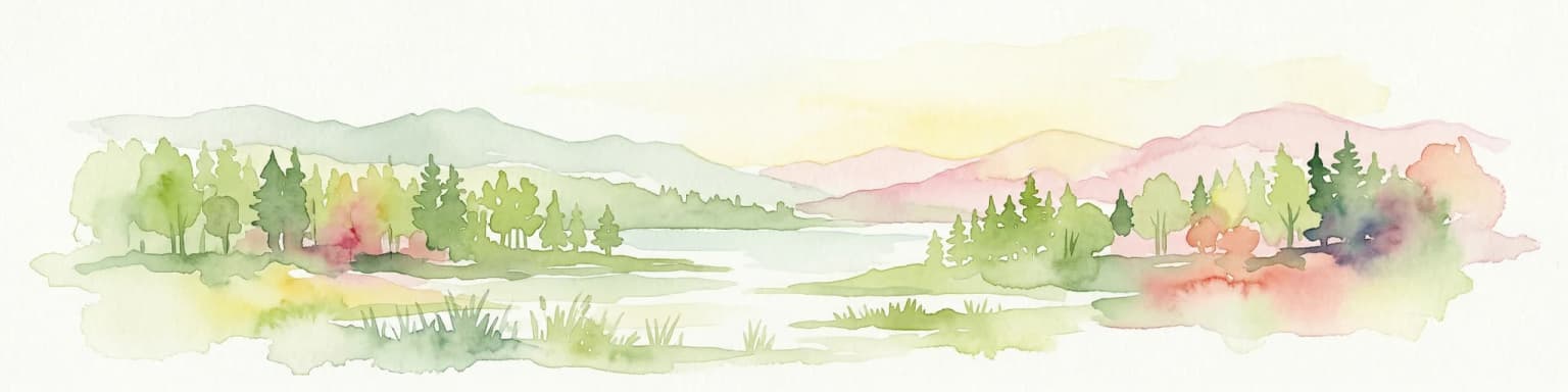
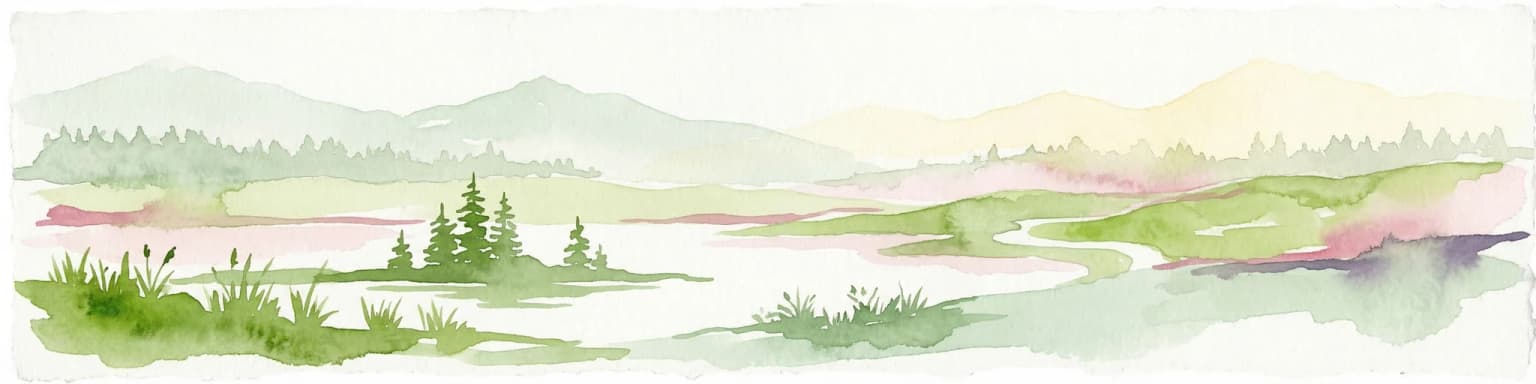
The landscape of Kolovesi National Park is defined by its dramatic interplay of water and rock, creating one of Finland's most visually striking lake environments. The park protects a chain of islands and intervening waters within the Suur-Saimaa lake system, where ancient granite bedrock has been carved by glacial activity into the steep cliffs, rocky ridges, and irregular shorelines that characterize the area. The cliffs, some rising tens of meters above the water, create a rugged backdrop that contrasts with the relatively flat terrain typical of much of the Finnish lake district. Between the rocky islands lie sheltered bays and narrow channels that provide protected paddling routes through the archipelago. The forest cover on the islands consists primarily of mixed coniferous and deciduous woodland, with spruce and pine dominating on the higher rocky ground while birch and aspen appear in more sheltered locations. The shoreline vegetation reflects the park's northern setting, with emergent aquatic plants and scattered boggy areas where drainage is poor.

Faint red cave painting on a large gray rock face with surrounding boulders.
Cave painting on rocky cliff face within Kolovesi National Park.

Kolovesi National Park ecosystems, habitats, and plant life

The nature of Kolovesi centers on a unique ecosystem shaped by the isolation of the Saimaa lake system and the harsh conditions of the northern growing season. The lake waters themselves are relatively clear and support a diverse fish community that forms the prey base for the Saimaa ringed seal. The surrounding forests, while not as extensive as in some Finnish national parks, provide habitat for typical boreal species including various passerines, squirrels, and larger mammals such as moose that swim between the islands. The park's ecological significance extends beyond the seal to include the broader archipelago ecosystem, where the combination of rocky islands, sheltered waters, and mixed forest creates a mosaic of habitats supporting species adapted to this unique environment. The prohibition of motorboats is a critical management measure that preserves both the ecological integrity and the peaceful character of the area, reducing disturbance to sensitive wildlife and allowing visitors to experience the soundscape of nature.

Kolovesi National Park wildlife and species highlights

The wildlife of Kolovesi is most notable for the presence of the Saimaa ringed seal, a subspecies endemic to the Saimaa lake system and one of the world's rarest seal species. These seals breed on the ice of Lake Saimaa during winter, using the snow cover that accumulates on frozen lake sections as haul-out sites. The park's protected waters provide important habitat throughout the year, with the rocky islands offering sheltered resting areas. While the seal remains the most famous wildlife occupant, the park supports a range of other species typical of eastern Finland's boreal forests, including various waterfowl that breed among the islands, common loons that nest on isolated islets, and forest birds such as capercaillie and black grouse in the woodland areas. The clear lake waters support healthy populations of fish, including perch, pike, and whitefish, which form the foundation of the aquatic food web.

Kolovesi National Park conservation status and protection priorities

Kolovesi National Park represents a cornerstone of Finnish conservation efforts for the Saimaa ringed seal, a species classified as critically endangered by international conservation authorities. The protected status of the park ensures that key habitat remains free from development and disturbance, while the prohibition of motorboats addresses one of the historic threats to seal populations in the lake system. The expansion of the park from its original 23 square kilometers to approximately 61 square kilometers demonstrates the ongoing commitment to conservation in this region. Beyond species-specific protection, the park preserves a representative example of the southern Saimaa archipelago ecosystem, maintaining ecological processes and biodiversity in an area where human activity has intensified around the lake system. The cave paintings receive protection as archaeological heritage, adding a cultural dimension to the conservation framework.

Kolovesi National Park cultural meaning and human context

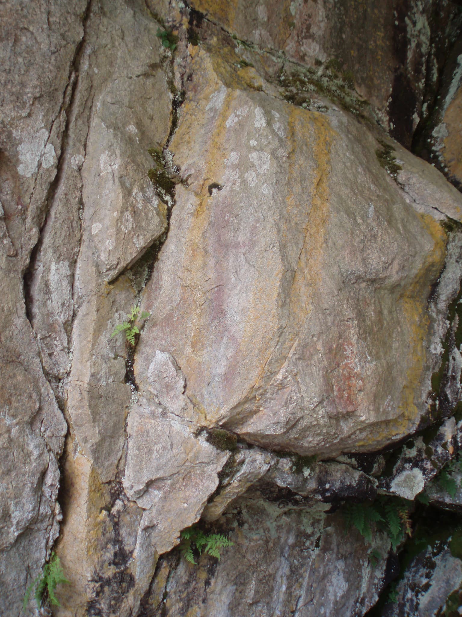
The cultural context of Kolovesi National Park extends back thousands of years, evidenced by the cave paintings discovered on several islands within the park. These artistic expressions, created on sheltered rock faces at sites such as Vierunvuori and Ukonvuori, represent some of the earliest known human creative activity in Finland. The paintings depict various motifs including human figures, animals, and abstract designs, offering insights into the beliefs and lives of the prehistoric peoples who inhabited this archipelago. The choice of Vierunvuori's cave painting as the park's official symbol reflects the integration of this cultural heritage into the park's identity and interpretation. While the park's primary designation is for nature conservation, the preservation of these archaeological sites acknowledges the long human history in this landscape and adds a dimension of cultural continuity to the wilderness experience.

Top sights and standout views in Kolovesi National Park

Kolovesi offers visitors a wilderness paddling experience through a dramatic archipelago landscape where steep cliffs rise from clear lake waters. The opportunity to observe the endangered Saimaa ringed seal in its natural habitat represents a unique wildlife encounter available nowhere else in the world. The ancient cave paintings at Vierunvuori and Ukonvuori provide a tangible connection to prehistoric human presence, with the rock art accessible by kayak or during winter exploration when the ice provides alternative access. The prohibition of motorboats ensures peaceful travel through the islands, with only the sound of paddles dipping into water and the calls of birds breaking the silence. The park's two marked hiking trails, including the route across Mäntysalo island, offer opportunities to explore the forest environment and enjoy panoramic views from the rocky heights.

Best time to visit Kolovesi National Park

The optimal time to visit Kolovesi National Park depends on the experience sought, with each season offering a distinctly different character. The summer months of June through August provide the longest days, warm temperatures, and the most stable weather for paddling among the islands, though this is also the busiest period. Late spring and early autumn offer quieter conditions and the opportunity to experience the park's atmosphere with fewer visitors, though weather can be less predictable. Winter transforms the park dramatically, with the frozen lake surface allowing access on foot or skis to islands and areas that are only reachable by boat during open water season. The cave paintings are sometimes more accessible in winter when low water levels and ice conditions may provide alternative viewing opportunities. The Saimaa ringed seal is most visible during the breeding season when it rests on the ice, though the park's designation as a seal sanctuary means that seal viewing opportunities exist throughout the year in the protected waters.

Park location guide

Geography guide, regional context, and park location map for Kolovesi National Park

Kolovesi National Park park geography, regions, and map view in Finland
Understand where Kolovesi National Park sits in Finland through a broader geographic reading of the surrounding landscape, nearby location context, and its mapped position within the national park landscape.

How Kolovesi National Park fits into Finland

Finland, officially the Republic of Finland, is a Nordic country in Northern Europe with a population of 5.6 million. It borders Sweden, Norway, and Russia, with the Gulf of Bothnia to the west and the Gulf of Finland to the south. The country gained independence from Russia in 1917 and is a unitary parliamentary republic. Its landscape is characterized by extensive boreal forests and over 180,000 lakes.

Wider geography shaping Kolovesi National Park in Finland

Finland is located in Northern Europe, occupying a peninsula bordered by the Gulf of Bothnia to the west and the Gulf of Finland to the south. It shares land borders with Sweden to the northwest, Norway to the north, and Russia to the east. The terrain is predominantly flat with extensive forest coverage and numerous lakes.

Map view of Kolovesi National Park

Use this park location map to pinpoint Kolovesi National Park in Finland, understand its exact geographic position, and read its mapped placement within the surrounding landscape more clearly.

Pigeon | © OpenStreetMap contributors

Location context for Kolovesi National Park

Etelä-Savo

Visualizing Kolovesi National Park's Glacial Scenery, Boreal Forests, and Protected Waters for Deeper Atlas Discovery

Kolovesi National Park Photos: Explore Finland's Dramatic Lake Archipelago and Saimaa Ringed Seal Habitat
Browse a curated gallery of Kolovesi National Park's stunning landscapes, showcasing its unique freshwater archipelago, dramatic glacial cliffs, and pristine boreal forests essential for understanding this protected area's visual identity. These images provide essential geographic context, revealing the diverse habitats and ancient rock art that define Kolovesi's distinct environment for comprehensive park discovery.

Rock face with faint red cave paintings and patches of moss and small plants.

Large rock formations in a lake with forested hills in the background

Faint red cave painting on a large gray rock face with surrounding boulders.

Park atlas

Trace the geographic spread of national parks and protected areas across Eastern Finland, offering contextual comparison to Kolovesi.

Discover National Parks and Protected Areas Near Kolovesi National Park, Finland
Expand your exploration from Kolovesi National Park by browsing other national parks and protected areas across Finland's Eastern Lake Region and its unique archipelago landscapes. Compare diverse conservation areas, map their geographic distribution, and understand their place within the broader Saimaa lake system and surrounding boreal forests.
Watercolor illustration showing a lake with islands and forested shores, distant hills, and soft pastel colors
National parkSouth Savo

Linnansaari National Park: South Savo's Protected Landscape and Geography

Explore the mapped boundaries of this Finnish national park.

Discover Linnansaari National Park, a distinct national park located in South Savo, Finland. This page provides detailed information focused on its protected landscape identity, mapped geography, and atlas context. Understand its significance as a conservation area and how its boundaries contribute to the regional natural landscape. Explore the geographic positioning of Linnansaari National Park within South Savo, offering insights for structured map-based discovery.

Area
38 km²
Established
1956
IUCN
II
Visitors
31.6K annual
Watercolor illustration of a landscape featuring green vegetation, rolling hills, and a body of water under a pastel sky
National parkNorth Karelia

Koli National Park: Protected National Park in North Karelia, Finland

Explore mapped landscape and regional geography.

Koli National Park represents a significant protected area within the eastern Finnish region of North Karelia. This page offers detailed geographic context and insight into the park's mapped landscape, essential for understanding its place within the broader atlas of Finland's natural terrain. Discover the protected boundaries and regional setting of this key national park.

Area
30 km²
Established
1991
IUCN
II
Visitors
249.8K annual
National parkCentral Finland

Southern Konnevesi National Park: National Park Protected Landscape Atlas

Mapped boundaries and regional geography within Central Finland.

Southern Konnevesi National Park is a vital protected area within Central Finland, distinguished by its national park status and its inclusion in the vast Finnish Lakeland. This entry provides a detailed geographic context for the park, emphasizing its mapped boundaries and its role within the region's natural landscape. Users can leverage this structured information for atlas-based discovery and to understand the park's specific environmental setting. Explore the terrain and protected land features that define this significant Finnish protected area.

Area
15 km²
Established
2014
Visitors
30.4K annual
Relief
Mixed relief
National parkNorth Karelia

Petkeljärvi National Park: Distinct Protected Landscape and Esker Formations in North Karelia

Discover Finland's unique esker ridges and boreal forests.

Petkeljärvi National Park represents a distinctive protected landscape in North Karelia, Finland, celebrated for its prominent esker formations that define its topography. The park showcases light Scots pine forests growing on sandy soils, creating an open forest character that sets it apart. Visitors can explore the mapped geography, including winding ridges, wetlands, and lake scenery, alongside preserved historical fortifications from the Continuation War, offering a rich blend of natural and cultural heritage within this compact national park.

Area
7 km²
Established
1956
IUCN
II
Visitors
17.3K annual
Watercolor illustration showing a lake with forested shores and mountains in the background
National parkRepublic of Karelia

Ladoga Skerries National Park: National Park Protected Landscape & Geography

Mapped boundaries and regional context in the Republic of Karelia.

Discover Ladoga Skerries National Park, a key protected area recognized as a national park within the Republic of Karelia. This page provides essential context for understanding its mapped boundaries, the natural terrain it encompasses, and its geographical significance within the broader regional landscape. Utilize this information for structured atlas exploration of protected natural environments, focusing on the distinct identity of Ladoga Skerries National Park.

Area
1,220 km²
Established
2017
IUCN
II
Relief
Lowland
National parkNorth Karelia

Patvinsuo National Park: Protected Landscape Geography and Map Context

National park exploration in North Karelia, Finland.

Patvinsuo National Park stands as a vital protected area within North Karelia, Finland. This page serves as an atlas entry point, detailing the park's geographic scope, mapped boundaries, and its significance as a protected landscape. Users can explore the regional context and understand the natural terrain that characterizes this important Finnish national park, facilitating structured geographic discovery.

Area
105 km²
Established
1982
IUCN
II
Visitors
18.6K annual
National parkCentral Finland

Leivonmäki National Park: Mapped Protected Landscape in Central Finland

Detailed geographic context for this Finnish national park.

Leivonmäki National Park offers a specific focus on a single protected landscape within the broader geography of Central Finland. This page provides users with detailed information centered on the park's mapped boundaries and its role as a national park. It is designed to be a foundational entry within the MoriAtlas discovery platform, helping users understand the park's geographic setting and its protected area status for informed exploration.

Area
29 km²
Established
2003
IUCN
II
Visitors
29.1K annual
Watercolor illustration showing a landscape with mountains, a winding river, and patches of green vegetation and trees
National parkFinland

Repovesi National Park: Finland's Boreal Wilderness and Protected Landscape

Explore mapped terrain and regional geography.

Repovesi National Park represents a significant protected natural area in southeastern Finland, showcasing a landscape characterized by dense boreal forests, rolling hills, and numerous lakes. As one of Finland's most visited national parks, it offers a compelling example of conserved wilderness and natural terrain. This page details the park's protected landscape identity, its geographic setting within Finland, and the atlas-driven insights available for exploring its mapped boundaries and natural features.

Area
15 km²
Established
2003
IUCN
II
Visitors
100.9K annual

Common questions about visiting, size, designation, and location context for Kolovesi National Park

Kolovesi National Park FAQs for park facts, access, geography, and protected area context
Find quick answers about Kolovesi National Park, including protected-area facts, park geography, trail and visitor context, and how the park fits into its surrounding country and regional landscape.
MoriAtlas Explorer

Continue Your Protected Areas Search Across the Global Atlas

Deepen your exploration by continuing the structured search for national parks and protected areas worldwide. Utilize the comprehensive filtering capabilities to compare different conservation landscapes and refine your understanding of global park geography. Discover more about the distribution and characteristics of protected natural areas.

Global natural geography