Mori Atlas logo
Park earthquake history

Review recorded seismic events, magnitudes, and epicentre proximity for this Andean mountain landscape.

Historical Catalogue of Documented Earthquakes Near Laguna del Laja National Park, Chile

This historical record provides an accessible catalogue of seismic events identified within the vicinity of Laguna del Laja National Park in the Bío Bío Region. By indexing recorded data based on epicentre distance, the archive allows for a clearer view of seismic activity patterns across this high-elevation Andean environment. Each entry captures documented details including event dates, magnitudes, and focal depths to provide an informative perspective on regional geophysical history.

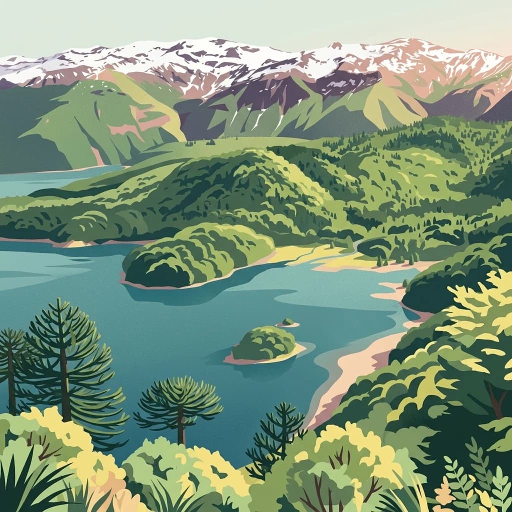
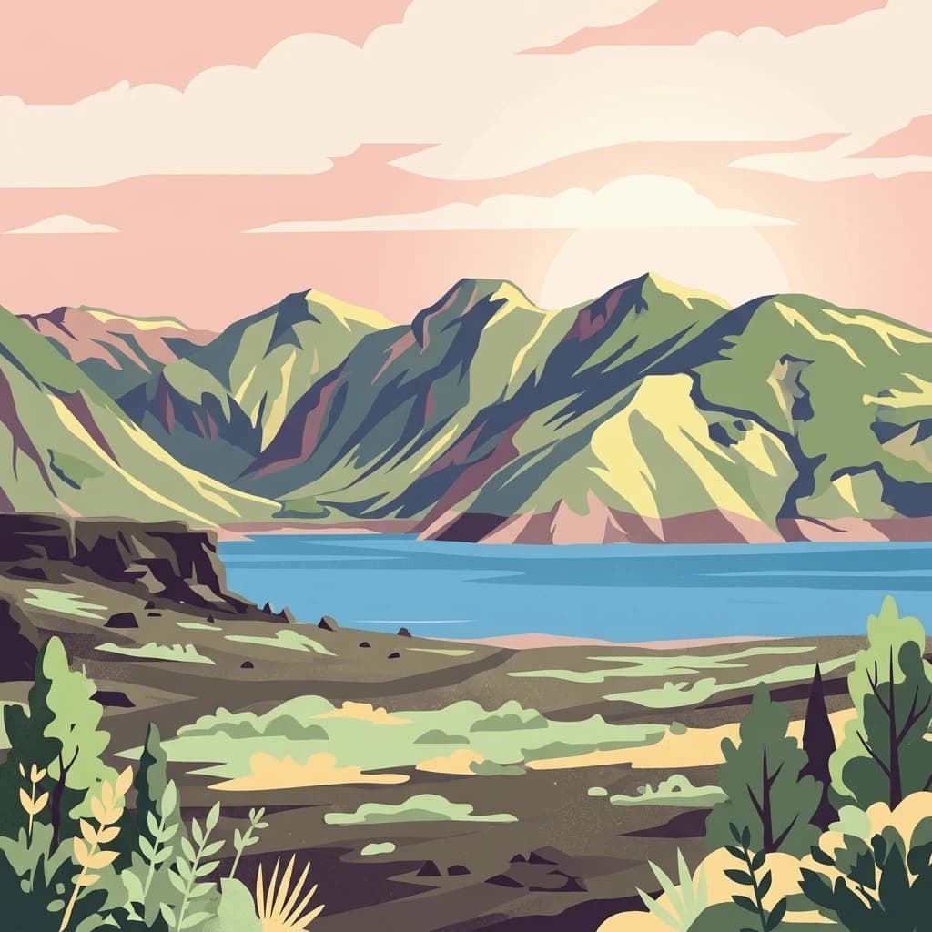
A stylized digital illustration of a mountainous landscape with a prominent lake at the base of large, green mountains under a soft pink sunset sky, with foreground vegetation.

Andean volcanic landscapes and temperate forest wilderness in south-central Chile

Laguna del Laja National Park

Laguna del Laja National Park is a protected area in the Bío Bío Region of south-central Chile, situated within the Andes Mountains. Established in 1958, the park encompasses approximately 119 square kilometers of dramatic mountainous terrain centered around three principal natural attractions: the conical Antuco Volcano, the rugged Sierra Velluda massif, and the scenic Laguna del Laja lake that gives the park its name. The protected area spans an impressive elevation gradient from 976 meters at its lowest points to 3,585 meters at Sierra Velluda's summit, creating diverse ecological zones within a relatively compact area. The park lies within the Chilean portion of the Valdivian temperate forests ecoregion, a globally significant biome known for its high endemism and complex forest communities. Visitors are drawn to the park's combination of volcanic peaks, deep valleys, temperate rainforests, and unique opportunities for mountaineering, trekking, and wildlife observation in one of Chile's oldest protected wilderness areas.

Location
Chile
Park type
National park
Established
1958
Area
119 km²
Highest point
3,585 m
Laguna del Laja National Park Protected Area

Review Laguna del Laja National Park events by date and distance

Search earthquake records associated with Laguna del Laja National Park

Laguna del Laja National Park’s earthquake collection maps reported epicentres by calculated distance from its Chilean Andean boundary, separating the records from volcanic topography, mountains, forests, and the lake landscape. Dates, magnitudes, depths, localities, sources, and park distances support historical comparison without assigning landscape effects, current danger, or prediction.

Sort by
Magnitude
Location

This page describes catalogued earthquakes associated with the park by epicentre location and distance. It does not establish causation, assess current danger, or predict future earthquakes.

No earthquake records match the current filters

Park atlas

Continue from Laguna del Laja National Park earthquake history

Discover additional parks after Laguna del Laja National Park

Laguna del Laja National Park remains the reference point as its earthquake records give way to other protected destinations beyond the Bío Bío Andes and volcanic landscape. Their inclusion does not establish common park designation, mountain terrain, forest, distance, geology, seismic evidence, hazards, risk, or matching atlas coverage.
Stylized digital illustration showing a snow-capped mountain overlooking a lake surrounded by an araucaria forest in a soft pastel color palette.
National parkChile
85 km away#1 closest

Southwest

Tolhuaca National Park National Park: Mapped Boundaries and Chilean Geography

Explore the protected landscape and regional context of this park.

Tolhuaca National Park is a protected national park located in Chile, offering a distinct point for geographic and landscape discovery. This detailed view focuses on the park's mapped boundaries, its environmental setting within Chile, and its overall protected-area identity. Engage with structured data that clarifies its position in the broader atlas of natural landscapes, providing context for regional geography and conservation efforts.

Area
64.74 km²
Established
1935
IUCN
II
Visitors
6.5K annual
A digital illustration showing a panoramic view of a blue lake surrounded by dense green forests and distant snow-dusted mountains, with several araucaria trees visible in the foreground.
National parkLa Araucanía Region
115 km away#2 closest

South

Conguillío National Park

Discover unique terrain within La Araucanía Region's geography.

Conguillío National Park, in La Araucanía Region, Chile. Landscapes: mountains, valleys, and forests.

Area
608 km²
Established
1950
IUCN
II
Visitors
21.8K annual
A digital illustration of snow-capped mountains above a lake, with green foreground vegetation and a sunrise background.
National parkLa Araucanía Region
134 km away#3 closest

West

Nahuelbuta National Park: Ancient Araucaria Forests and Protected Highland Geography

Discover its mapped boundaries atop the Cordillera de Nahuelbuta.

Nahuelbuta National Park is a significant national park in Chile's La Araucanía Region, celebrated for its ancient monkey puzzle tree forests atop the Cordillera de Nahuelbuta. This protected area showcases a unique highland landscape with rugged terrain and exposed rocky outcrops, preserving species more typical of Andean and Patagonian environments. Understanding its mapped geography and protected landscape identity is key to appreciating its ecological importance and distinct position within South America's natural atlas.

Area
68 km²
Established
1939
IUCN
II
Relief
Mountain
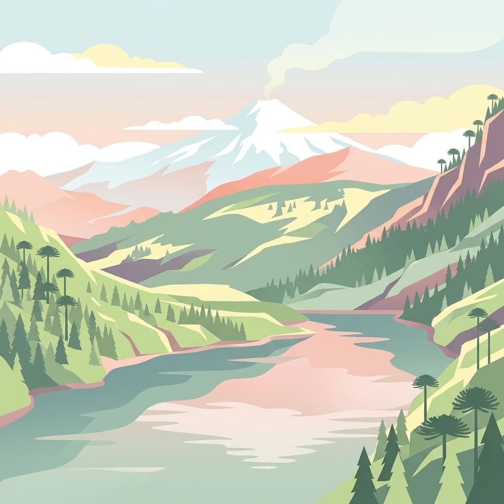
An artistic, flat-style digital illustration of a mountainous landscape with a lake in the foreground, surrounded by evergreen forests and distinct umbrella-shaped monkey puzzle trees, with a smoking snow-capped volcano in the distance.
National parkLa Araucanía Region
179 km away#4 closest

South

Huerquehue National Park: Ancient Araucaria Forests and Glacial Lakes in La Araucanía

Mapped protected area in the Andean foothills of Southern Chile.

Delve into the protected landscape of Huerquehue National Park, a key component of Chile's southern conservation efforts within the La Araucanía Region. This national park is defined by its ancient araucaria forests, home to the iconic monkey puzzle tree, and a network of clear glacial lakes including Tinquilco Lake. Its mountainous terrain, rising from 720 to 2,000 meters, showcases a vital representative of the Andean-Patagonian forest ecosystem, offering rich context for map exploration and understanding protected-area geography.

Area
125 km²
Established
1967
IUCN
II
Visitors
35.5K annual
National parkNeuquén Province
183 km away#5 closest

South

Lanín National Park

Explore the protected area's mapped terrain and glacial lakes.

Lanín National Park, in Neuquén Province, Argentina. Landscapes: mountains, forests, and lakes.

Area
3,790 km²
Established
1937
IUCN
II
Relief
Mountain
A digital illustration showing a bright, stylized sunset over a calm lake with low-lying steppe vegetation in the foreground and a flat-topped mountain in the background.
National parkNeuquén Province
189 km away#6 closest

Southeast

Laguna Blanca National Park: National Park in Neuquén Province, Patagonia

Mapped protected area and regional landscape context.

Laguna Blanca National Park represents a key protected landscape within the expansive geography of Neuquén Province, located in the Patagonia region of Argentina. This national park entity serves as a critical node for atlas exploration, allowing users to understand its specific protected boundaries and its contribution to the regional protected-area network. Investigate Laguna Blanca National Park to gain insight into its unique geographic setting and its role within the mapped natural areas of Western Argentina.

Area
112.5 km²
Established
1940
IUCN
II
Relief
Upland
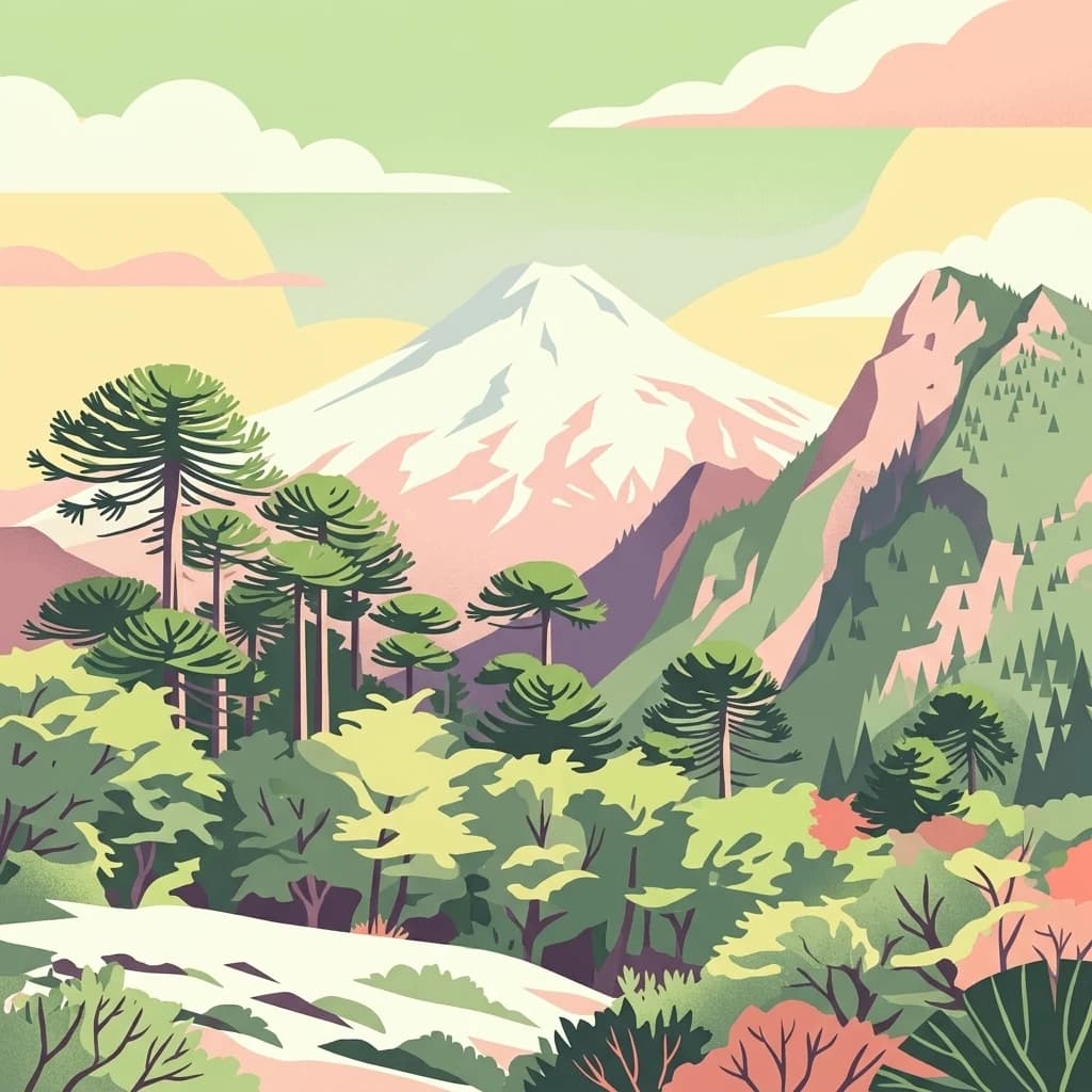
A stylized illustration of a snow-capped volcanic peak towering above a dense forest of Monkey Puzzle trees under a pastel sky.
National parkLa Araucanía Region
209 km away#7 closest

South

Villarrica National Park: Chile's Protected Landscape in La Araucanía Region

Mapped boundaries and regional geography exploration

Villarrica National Park represents a crucial protected area within the diverse geography of Chile's La Araucanía Region. This atlas-focused entry provides detailed geographic context and mapped park boundaries, essential for understanding the park's landscape identity. Explore the foundational elements of this national park for structured geographic discovery.

Area
630 km²
Established
1940
IUCN
II
Visitors
115.8K annual
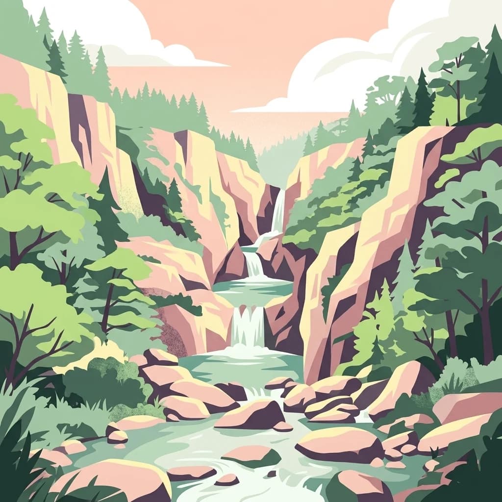
A digital illustration of a multi-tiered waterfall cascading through a rocky canyon surrounded by dense evergreen forests under a soft, light-colored sky.
National parkMaule Region
210 km away#8 closest

North

Radal Siete Tazas National Park: Iconic Seven Cups Waterfall System and Pre-Andean Terrain Exploration

Mapped protected landscape in Maule Region, Chile.

Radal Siete Tazas National Park showcases a remarkable cascade of seven natural rock pools and waterfalls along the Claro River, a defining feature within its steep pre-Andean topography. This national park in Chile's Maule Region offers a landscape rich with volcanic influences and dramatic riverine erosion. Users can explore its distinct terrain, mapped boundaries, and the striking visual geography that makes this protected area a significant natural landmark for atlas-based discovery.

Area
41.4 km²
Established
2008
IUCN
II
Relief
Mountain
MoriAtlas Explorer

Continue Exploring Laguna del Laja National Park's Geographic and Landscape Identity

Deepen your understanding of Laguna del Laja National Park by examining its specific geographic setting and protected landscape characteristics. This destination provides structured context for its mapped boundaries within the Bío Bío Region, essential for comprehensive atlas discovery and appreciating its national park status.