Mori Atlas logo
Park earthquake history

Explore recorded geological events and associated epicentre proximity for this high-altitude wetland region.

Historical Earthquake Records and Seismic Activity Catalogue for Lake Arpi National Park

This collection provides a comprehensive overview of recorded seismic activity occurring within proximity to the boundaries of Lake Arpi National Park in the Shirak Province of Armenia. The catalogue organizes historical earthquake events by date, magnitude, and focal depth to provide clear, transparent access to available geographic records. These data points help users trace the seismic history of the region and examine the relationship between localized ground movement and the protected plateau landscape without implying future risks.

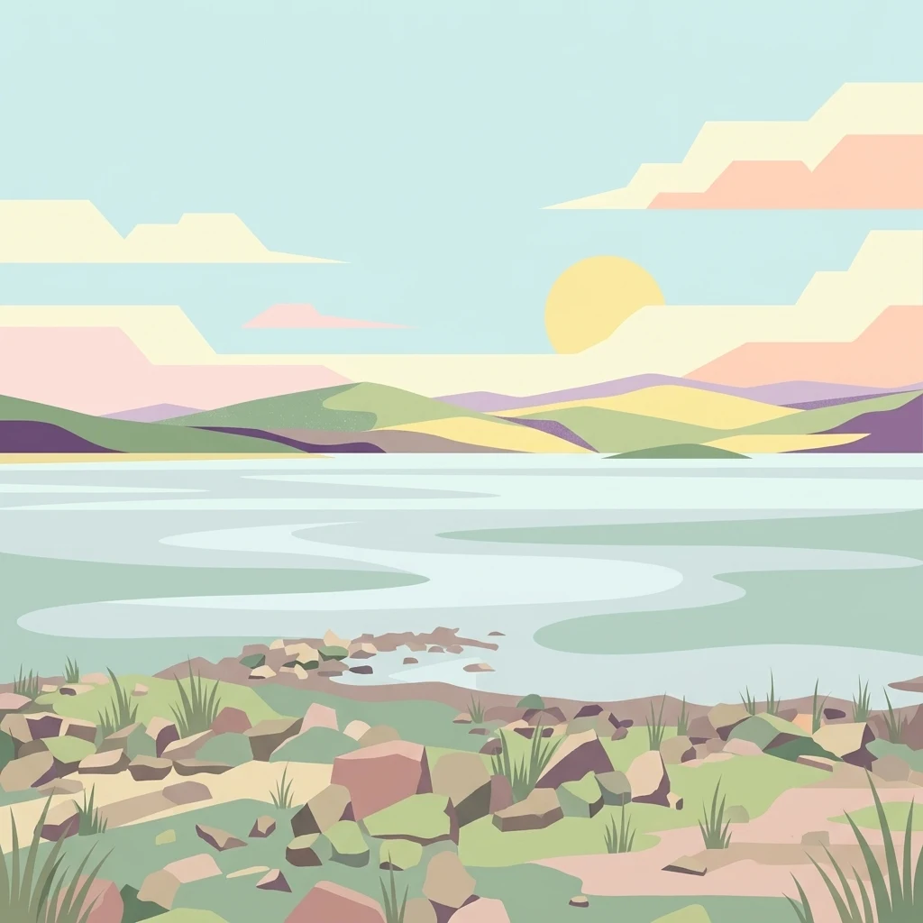
Illustration of a lake with rocky shore, grassy terrain, rolling mountains, and pastel sky with sun.

High-altitude wetland ecosystem preserving Armenia's largest gull colony and critical migratory bird habitat

Lake Arpi National Park

Lake Arpi National Park is one of Armenia's four national parks, established in 2009 to protect a distinctive high-altitude wetland ecosystem in the northwestern Shirak Province. Situated at approximately 2000 meters above sea level on the Shirak and Javakheti plateau, the park encompasses around Lake Arpi, a significant freshwater body in this mountainous region. The protected area spans roughly 250 square kilometers and is flanked by the Yeghnakhagh mountains to the west and the Javakheti Range to the northwest, creating a basin-like setting of considerable ecological importance. This park represents a critical conservation node in the South Caucasus, protecting a unique combination of alpine meadows, wetland habitats, and the biodiversity that depends on them.

Location
Armenia
Park type
National park
Established
2009
Area
250 km²
Lake Arpi National Park Protected Landscape

Navigate Lake Arpi National Park events by date and distance

Examine the earthquake record associated with Lake Arpi National Park

Earthquake reports associated with Lake Arpi National Park are organised by epicentre geography and measured distance from the high-altitude wetland, keeping regional evidence distinct from boundary occurrence. The catalogue exposes timing, magnitude, depth, reported place, park separation, and source documentation without attributing events to the lake, plateau ecosystem, birds, or present seismic risk.

Sort by
Magnitude
Location

This page describes catalogued earthquakes associated with the park by epicentre location and distance. It does not establish causation, assess current danger, or predict future earthquakes.

No earthquake records match the current filters

Park atlas

Move from Armenia's high wetland and gull habitat to other parks

Other protected landscapes after Lake Arpi National Park’s wetland record

Lake Arpi National Park closes its earthquake section within a high-altitude Shirak wetland important to gulls and migratory birds. The next destinations widen atlas discovery without identifying sites that share its lake ecology, national-park status, geological history, seismic record, proximity, hazard, or supporting evidence.
Watercolor painting of green and pink mountain ranges under a light sky background
National parkSamtskhe–Javakheti
About 17 km away#1 closest

Northwest

Javakheti National Park: Protected Highland Landscape and Wetland Atlas

Explore the unique geography and mapped park boundaries of this Georgian protected area.

Delve into Javakheti National Park, a significant protected landscape located in Georgia's Samtskhe, Javakheti region. This page serves as an entry point for understanding the park's distinctive highland terrain, its remarkable chain of lakes and marshes, and its protected area status. Explore the geographic context of this national park, its role in wetland conservation, and its value for structured atlas-based discovery of natural landscapes.

Area
238.53 km²
Established
2011
IUCN
II
Relief
Mixed relief
Watercolor illustration of a landscape with mountains, a river, and grassy fields
National parkGeorgia
81 km away#2 closest

Northwest

Borjomi-Kharagauli National Park: Protected Landscape Atlas of Georgia's Lesser Caucasus

Explore its unique forests, wildlife, and mountain terrain.

Delve into Borjomi-Kharagauli National Park, a significant protected area in Georgia's Lesser Caucasus region. This national park is renowned for its extensive old-growth forests, including rare Colchian fragments, and a remarkable concentration of endemic species. The park's dramatic mountainous terrain, spanning over 1,000 square kilometers, offers a rich tapestry of landscapes from deep valleys to alpine meadows, providing critical habitat for large mammals and contributing significantly to the region's biodiversity. Explore its mapped boundaries and geographic context for a deeper understanding of this vital conservation landscape.

Area
1,093 km²
Established
1995
IUCN
II
Relief
Mountain
Watercolor illustration of a mountainous landscape with green forests, rolling hills, and distant mountains under a light sky
National parkGeorgia
About 86 km away#3 closest

Northeast

Algeti National Park: Explore Georgia's Protected Coniferous Forest Landscape

Mountain terrain, protected forests, and regional geography.

Algeti National Park, located in Georgia's Kvemo Kartli region, serves as a critical protected area preserving the easternmost populations of Caucasian Spruce and Nordmann Fir. This national park features a dramatic mountainous landscape within the Trialeti Range, characterized by deeply incised valleys, flowing rivers, and extensive old-growth forest ecosystems. Users can explore the park's geographic context, mapped boundaries, and the ecological significance of its unique coniferous and mixed forests, contributing to a broader understanding of protected lands in the Caucasus.

Area
68.22 km²
Established
2007
IUCN
II
Visitors
8K annual
National parkTavush Province
89 km away#4 closest

East

Dilijan National Park: Mapped Protected Landscape and Forested Terrain in Tavush Province

Explore ancient deciduous forests and medieval sites within this protected area.

Dilijan National Park offers a unique atlas perspective on Armenia's natural and cultural heritage. This protected landscape in Tavush Province is dominated by vast, ancient deciduous forests, including rare yew groves, making it a vital conservation area. Its mountainous terrain, carved by rivers and dotted with medieval monasteries like Haghartsin and Goshavank, provides a rich context for geographic discovery. Users can explore the park's mapped boundaries and understand its significance as a preserved woodland ecosystem within the Caucasus region through its detailed geographic information.

Area
240 km²
Established
2002
IUCN
II
Relief
Mixed relief
Watercolor painting showing mountains, trees, and a lake in soft green and blue tones
National parkArtvin Province
93 km away#5 closest

West

Karagöl-Sahara National Park: Mapped Highland Lake and Plateau Protected Area

Discover Artvin Province's unique landslide lake and alpine terrain.

Karagöl-Sahara National Park presents a compelling protected landscape in Artvin Province, Turkey, renowned for its dramatic landslide lake, Karagöl, and the expansive Sahara plateau. This national park provides a unique map of highland geography, featuring dense conifer forests that give way to alpine meadows at elevations around 1,800 meters. Examine the geological character, including active landslide zones and sedimentary formations, that shape this distinctive terrain and contribute to its protected ecological value within the Black Sea Region.

Area
32.51 km²
Established
1994
IUCN
II
Relief
Mountain
National parkGegharkunik Province
113 km away#6 closest

Southeast

Sevan National Park: High-Altitude Lake and Protected Landscape in Gegharkunik

Explore map context, park boundaries, and regional geography.

Sevan National Park is a vital protected area located in Armenia's Gegharkunik Province, primarily safeguarding the remarkable high-altitude Lake Sevan. Established to protect this significant freshwater ecosystem, the park encompasses diverse surrounding landscapes including wetlands, forests, and steppes. Users exploring this canonical park detail page can delve into its geographic setting within the Armenian highlands, understand its importance as a protected landscape, and access structured data relevant to its unique natural environment. This MoriAtlas entry offers a focused lens on the park's conservation status and its contribution to regional geography.

Area
342 km²
Established
1978
IUCN
II
Relief
Highland
National parkTurkey
About 116 km away#7 closest

Southwest

Sarıkamış-Allahuekber Mountains National Park: High-Altitude Protected Forest and WWI Memorial Landscape in Turkey

Explore the distinct protected terrain and historical geography of Turkey's eastern highlands.

Sarıkamış-Allahuekber Mountains National Park offers a unique exploration of high-altitude protected lands in Turkey. This national park is characterized by its remarkable pure Caucasian pine forests that thrive at elevations typically above the tree line, showcasing a rare alpine ecosystem. The park's rugged mountain terrain, marked by significant historical sites from the Battle of Sarikamish, provides a profound connection between natural landscape and human history within its mapped boundaries. Discover the geographic setting and protected status of this distinctive area.

Area
225.19 km²
Established
2004
IUCN
II
Relief
Mountain
Nature reserveArmenia
About 124 km away#8 closest

Southeast

Erebuni State Reserve: Protected Nature Reserve and Botanical Landmark in Armenia

Transitional mountain-steppe and semi-desert botanical geography

Erebuni State Reserve functions as a critical protected area for the conservation of wild wheat genetic resources in the South Caucasus. Located on the edge of the Armenian capital, the reserve protects a mosaic of grass-dominated slopes that capture the precise shift from arid lowlands to higher altitude steppe terrain, providing an essential focus for regional botanical study.

Area
1.2 km²
Established
1981
IUCN
Ia
Relief
Upland
MoriAtlas Explorer

Continue Exploring Lake Arpi National Park's Geographic Context and Protected Landscape

Delve deeper into the atlas and mapped context of Lake Arpi National Park, a key protected area in Shirak Province. Understand its unique high-altitude wetland terrain, its position within the South Caucasus, and the geographic factors that make it a critical site for conservation and landscape study. Explore the regional setting and protected boundaries that define this significant national park.