Mori Atlas logo
Park earthquake history

A comprehensive catalogue of historical seismic events associated with the lake's geography

Recorded Earthquake History and Seismic Records Near Lake Balaton in Transdanubia

Explore a curated collection of historical earthquake records linked to the Lake Balaton basin through calculated epicentre distances. This catalogue provides a clear view of recorded seismic events, including event dates, magnitude ratings, and precise proximity data. The information allows for a factual review of regional earthquake history, supporting a better understanding of how seismic patterns align with the geography of this major Central European freshwater lake.

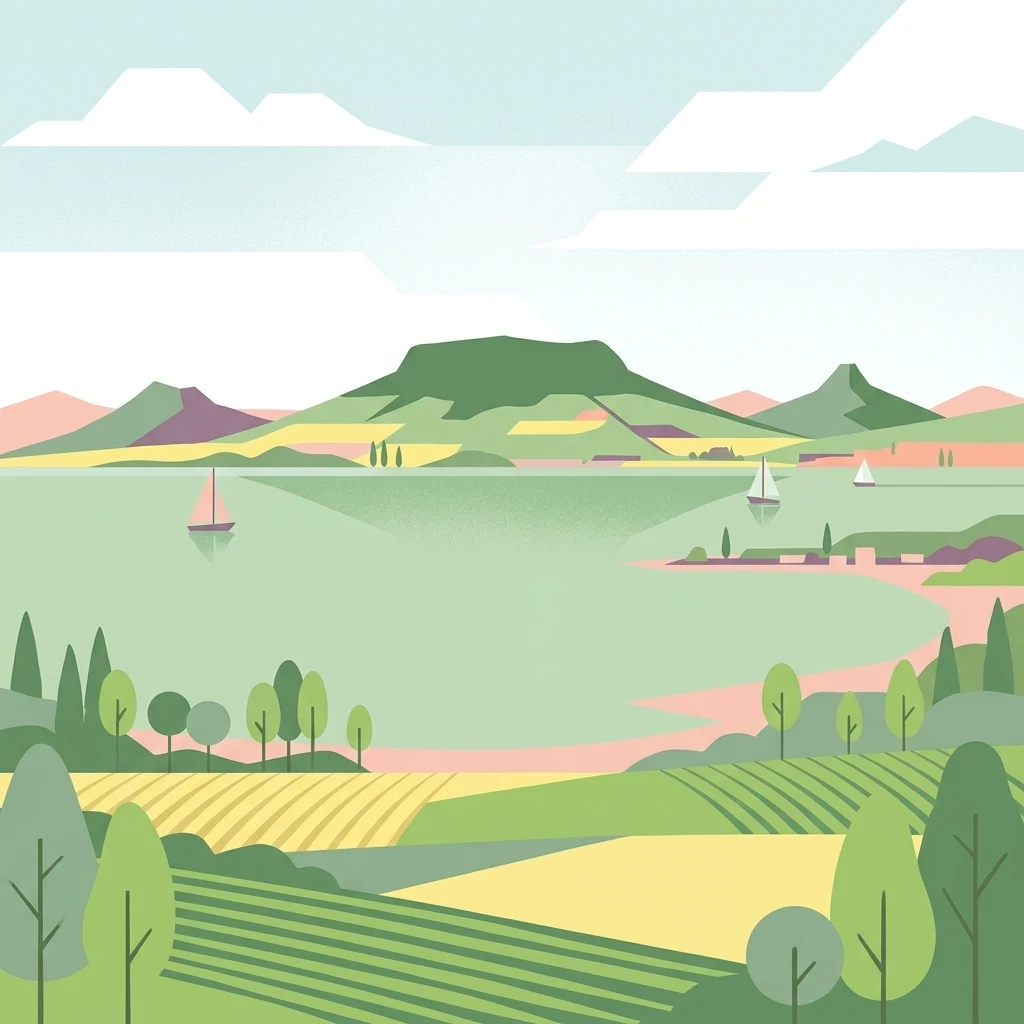
Digital illustration of a lake landscape featuring sailboats on the water, green hills in the distance, and patterned fields in the foreground.

Central Europe's largest freshwater lake and Hungary's defining inland water

Lake Balaton

Lake Balaton is the largest freshwater lake in Central Europe, a shallow tectonic basin set in the Transdanubian region of western Hungary. Often nicknamed the Hungarian Sea, it stretches roughly 77 kilometers along a northeast to southwest axis, separated into a wider western basin and a narrower eastern basin by the Tihany Peninsula, with volcanic buttes and forested hills rising along its northern shore and a flat, sandy southern coast that hosts the bulk of its resort towns. The lake is the centerpiece of Hungarian holiday life. Resorts such as Siófok, Keszthely, and Balatonfüred anchor a regional tourism economy built on beaches, sailing, swimming, and wine in the Badacsony wine country, while research centers and protected areas preserve its geological and ecological character. Its identity combines a working agricultural and fishing landscape with strong cultural symbolism. The Ramsar-protected wetland, the surrounding Balaton-felvidéki National Park, and a long literary and artistic tradition stretching from Jókai to 20th-century painters mean that the lake is encountered as both a natural system and a deeply embedded piece of Hungarian regional identity.

Location
Hungary
Park type
Protected area
Established
1989
Area
600 km²
Explore Lake Balaton Protected Area Geography

Explore Lake Balaton records across dates, depths, and distances

Study historical earthquake data associated with Lake Balaton

The Lake Balaton catalogue relates earthquake reports to this Hungarian lake by epicentre and calculated separation, while avoiding the unsupported assumption that each event occurred within the protected area. Recorded time, magnitude, depth, locality, distance, and source links support historical analysis without making the lake a seismic cause, declaring a current threat, or projecting future activity.

Sort by
Magnitude
Location

This page describes catalogued earthquakes associated with the park by epicentre location and distance. It does not establish causation, assess current danger, or predict future earthquakes.

No earthquake records match the current filters

Park atlas

Go beyond Lake Balaton historical earthquake records

Explore additional protected destinations after Lake Balaton

Beyond the Lake Balaton earthquake record, a separately chosen collection of protected destinations offers continued discovery. The links do not imply common lake features, protection status, geology, seismic histories, nearby geography, hazard conditions, risk, or comparable source depth.
National parkHungary
About 0.8 km away#1 closest

Northeast

Balaton Uplands National Park: Mapped Volcanic Terrain and Protected Landscape Atlas

Explore Hungary's protected volcanic landscape and its regional geography.

Balaton Uplands National Park presents a compelling study in volcanic geography, showcasing dramatic 'witness mountains' and diverse terrains. As a protected national park in Hungary, it offers rich opportunities for atlas-style exploration of its mapped boundaries, unique basalt formations, and significant wetland areas. Discover the distinct geological narrative and landscape context of this protected region, providing a clear point of reference for understanding Hungary's natural heritage through structured geographic data.

Area
569.97 km²
Established
1997
IUCN
II
Relief
Highland
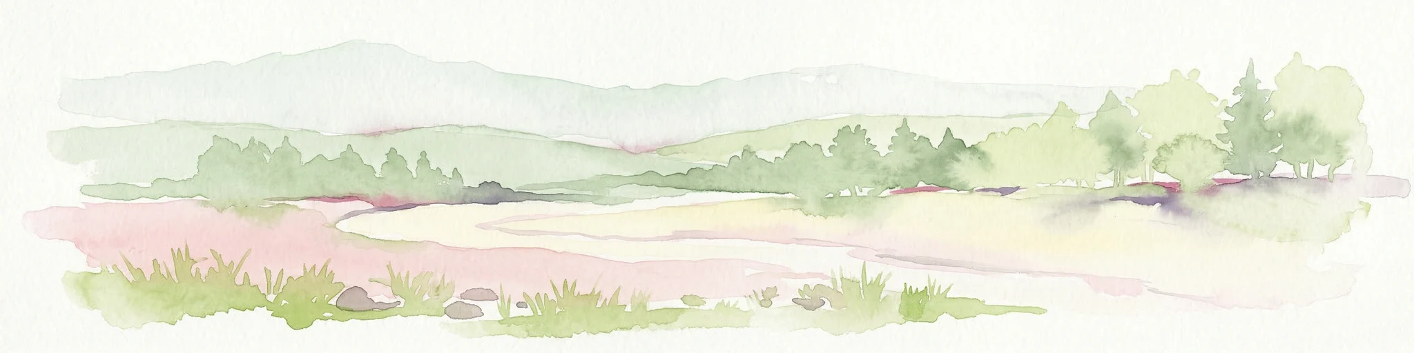
Watercolor illustration of green fields, trees, and distant hills
National parkHungary
48 km away#2 closest

West

Őrség National Park: A Protected Landscape Explored Through Geographic Atlas Context

Mapped terrain, peat bogs, and ancient forests in Hungary.

As Hungary's youngest national park, Őrség National Park offers a distinctive protected landscape defined by rolling hills, ancient woodlands, and rare peat bogs. This entry provides detailed geographic context, mapping its boundaries and showcasing its natural terrain. Discover the unique ecosystem, shaped by centuries of traditional land use and its subalpine climate, presented within MoriAtlas for structured exploration and regional geographic understanding.

Area
440 km²
Established
2002
IUCN
II
Relief
Highland
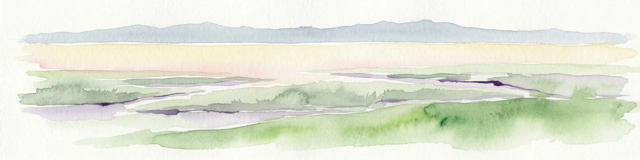
Watercolor painting of rolling hills, green fields, and a winding path
National parkHungary
71 km away#3 closest

East

Kiskunság National Park: Explore Hungary's Puszta Grassland and Unique Sand Dune Terrain

Discover protected landscapes, alkaline lakes, and bird habitats.

Kiskunság National Park in Hungary offers a rare glimpse into the traditional puszta grassland ecosystem, featuring dynamic sand dunes and numerous alkaline lakes. This protected area is vital for migratory bird populations and showcases a distinctive lowland geography shaped by natural processes and pastoral heritage. Explore its scattered territorial units to understand the unique landscape context of the Great Hungarian Plain.

Area
530 km²
Established
1975
IUCN
II
Relief
Lowland
A watercolor painting showing a winding river through a flat, green landscape with clusters of trees and soft, rolling hills in the background.
Nature reserveHungary
75 km away#4 closest

Southeast

Gemenc Nature Reserve, A Protected Danube Floodplain Landscape in Hungary

Explore the geography of alluvial forests and river-fed wetlands

Gemenc stands as a testament to natural floodplain dynamics, stretching along the Danube in southern Hungary as a vast corridor of alluvial woodland. The protected area encompasses a rich variety of riverine terrain, including meandering oxbows, islands, and diverse forest mosaics that host significant animal populations. Utilize this geographic reference to understand the landscape context and natural boundaries of one of the most prominent wetland reserves in the Carpathian Basin.

Area
340 km²
Established
1977
Relief
Lowland
Climate
Temperate
Watercolor illustration of a landscape with green hills, a body of water, and trees under a soft sky
National parkGyőr-Moson-Sopron
78 km away#5 closest

Northwest

Fertő-Hanság National Park: Central European Wetland and Salt Lake Protected Area

Mapped Geographic Boundaries and Landscape Context

Fertő-Hanság National Park, situated in Győr-Moson-Sopron, Hungary, is a vital protected landscape renowned for its shallow salt lake and expansive marshlands. This page provides an atlas-focused discovery of its protected area, highlighting the unique interplay of reed beds and alkaline grasslands. Understand the park's geographic setting and its role as a significant wetland ecosystem for bird populations and specialized flora.

Area
235.88 km²
Established
1991
IUCN
II
Relief
Lowland
National parkPest County
90 km away#6 closest

Northeast

Danube-Ipoly National Park: Protected Landscape and Geographic Atlas

Mapping Hungary's diverse terrain and protected natural areas.

Delve into Danube-Ipoly National Park, a significant protected area renowned for its extraordinary ecological diversity. This page explores the park's distinct landscapes, from the volcanic formations of the Börzsöny Mountains to the deep karst cave systems of the Pilis, set against the backdrop of the Danube and Ipoly river floodplains. Understand its geographic placement within Pest County and its role as a vital protected landscape for conservation and atlas-based discovery.

Area
603.14 km²
Established
1997
IUCN
V
Relief
Mixed relief
Watercolor illustration of a river landscape with grassy banks, trees, and hills in the background
National parkHungary
About 96 km away#7 closest

Southeast

Danube-Drava National Park: Hungary's Premier Riverine Protected Area and Floodplain Landscape

Mapping the protected river corridors and vital wetland ecosystems

Danube-Drava National Park showcases the dynamic geography of Central Europe's largest riverine protected area, integrating floodplains, riparian woodlands, and extensive marshes along the Danube and Drava rivers. As a National Park and a Ramsar site, it protects crucial habitats like the Gemenc forest and supports exceptional biodiversity, including significant populations of white-tailed eagles. This page provides a structured overview of its mapped boundaries and ecological importance within the European protected lands atlas.

Area
490 km²
Established
1996
IUCN
II
Relief
Lowland
Watercolor painting showing a landscape with rolling terrain, water features, and distant mountains
National parkBurgenland
106 km away#8 closest

Northwest

Neusiedler See-Seewinkel National Park: Protected Steppe Lake Landscape in Burgenland

Explore mapped wetland geography and birdwatching significance.

Neusiedler See-Seewinkel National Park showcases a rare steppe lake environment and extensive wetland habitats at the eastern edge of Austria, within the Burgenland region. This protected area is globally recognized for its exceptional avian diversity and the unique ecological mosaic formed by reed beds, salt marshes, and seasonal pools. Explore its mapped boundaries and distinctive Pannonian geography for a deep understanding of this vital European protected landscape.

Area
97 km²
Established
1993
IUCN
II
Relief
Lowland
MoriAtlas Explorer

Examine the Mapped Landscapes and Geological Character of Lake Balaton

Access deep geographic context for Lake Balaton through the MoriAtlas dataset. Analyze the tectonic structure, volcanic witness mountains, and protected wetland boundaries that form this critical Hungarian landscape.