Mori Atlas logo
National parkLinnansaari National Park

Discover the geographic boundaries and atlas context of this Finnish national park.

Linnansaari National Park: A Mapped Protected Landscape in South Savo, Finland

(Linnansaaren kansallispuisto)

Linnansaari National Park represents a significant protected area within the South Savo region of Finland, offering a unique window into Finland's natural geography. This page serves as the canonical entry point for understanding the park's identity through a structured atlas and map-based lens, highlighting its role as a national park and its place within the broader landscape context of South Savo. Explore its mapped boundaries and geographic setting to gain a deeper appreciation for this distinct natural landscape.

Lake archipelagoSaimaa ringed sealOld-growth forestNatura 2000Bird conservationTraditional agriculture
Stylized illustration of a forested island with a waterfall, surrounded by lake, trees, and cliffs under a bright sky with clouds and sun.

Linnansaari National Park

National park

Park overview

Structured park overview, official facts, and landscape profile for Linnansaari National Park

Linnansaari National Park park facts, protected area profile, and essential visitor context
Review the core facts for Linnansaari National Park, including designation, size, terrain, visitor scale, habitats, and operating context in one park-focused overview.

About Linnansaari National Park

Linnansaari National Park occupies a remarkable position in the heart of Finland's extensive lake district, lying in the middle of Haukivesi, a significant basin within the Saimaa lake system. The park encompasses the main island of Linnansaari along with hundreds of smaller islands and islets that create a diverse archipelago landscape across the lake waters. Established in 1956, the park was created to conserve the valuable natural and cultural features of Finnish lakeland, representing an early commitment to preserving both ecological and heritage values. The park spans the municipalities of Rantasalmi, Savonlinna, and Varkaus, with its waters and islands touching all three areas. The protection of this lake archipelago reflects Finland's recognition that its distinctive lakeland environments require dedicated conservation attention, with the park serving as a showcase for the region's natural character. The park is managed by Metsähallitus, Finland's Parks and Wildlife Service, and operates as part of the country's national park system while also contributing to the European Natura 2000 network of protected areas.

Quick facts and research context for Linnansaari National Park

Linnansaari National Park lies in the South Savo and Northern Savonia regions of eastern Finland, occupying the waters and islands of Haukivesi within the Saimaa lake system. The park covers approximately 96 square kilometers with about 40 square kilometers of land and 56 square kilometers of water, encompassing the main island and hundreds of smaller islands. Established in 1956, it is managed by Metsähallitus and receives approximately 31,600 visitors annually. The park is part of the Natura 2000 network and is classified as an internationally important bird area, supporting one of Finland's densest osprey populations.

Park context

Deeper park guide and search-rich context for Linnansaari National Park

Linnansaari National Park history, landscape, wildlife, and travel context
Explore Linnansaari National Park through its history, landscape character, ecosystems, wildlife, conservation priorities, cultural context, and seasonal travel timing in a structured park guide built for atlas discovery and search intent.

Why Linnansaari National Park stands out

Linnansaari is especially known for protecting the critically endangered Saimaa ringed seal, a subspecies endemic to the Saimaa lake system and one of the world's most endangered seal species. The park also maintains one of Finland's densest osprey populations and preserves a living cultural landscape through the continuation of traditional slash-and-burn agriculture on the main island's historic croft. The combination of rare species conservation, traditional land management practices, and accessible lake archipelago wilderness makes this park distinctive within Finland's protected area network.

Forest-covered island surrounded by calm blue water under a partly cloudy sky
Forested island in Linnansaari National Park, Finland

Linnansaari National Park history and protected-area timeline

Linnansaari National Park was established in 1956 as part of Finland's growing post-war commitment to nature conservation. The creation of the park reflected an emerging recognition of the need to protect the distinctive lakeland environments that define much of Finland's eastern landscape. The inclusion of the old croft on Linnansaari represented an innovative approach that acknowledged the biodiversity value of traditionally managed cultural landscapes alongside natural ecosystems. The continuation of slash-and-burn agriculture on the island's fields was incorporated into the park's management philosophy, recognizing that these traditional practices had shaped and maintained habitats that supported specialized plant and animal species. Over the subsequent decades, the park has developed visitor infrastructure including marked trails while maintaining its primary conservation focus. The designation of the area as part of Natura 2000 and its recognition as an internationally important bird area have reinforced its conservation status within the broader European protected areas network.

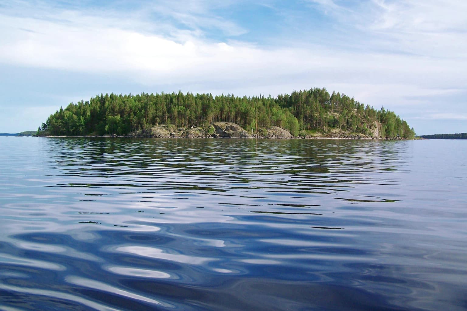
Linnansaari National Park landscape and geographic character

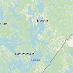
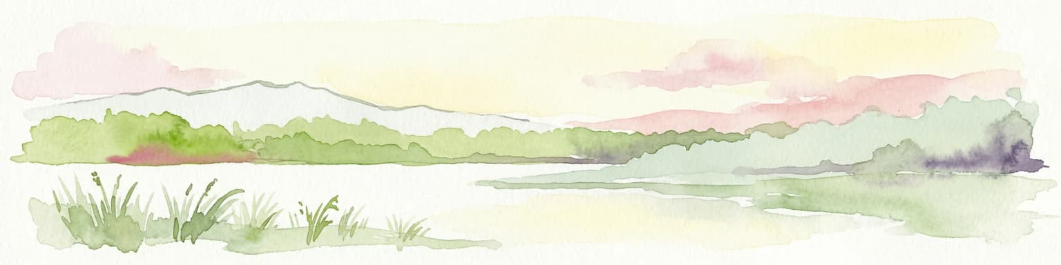
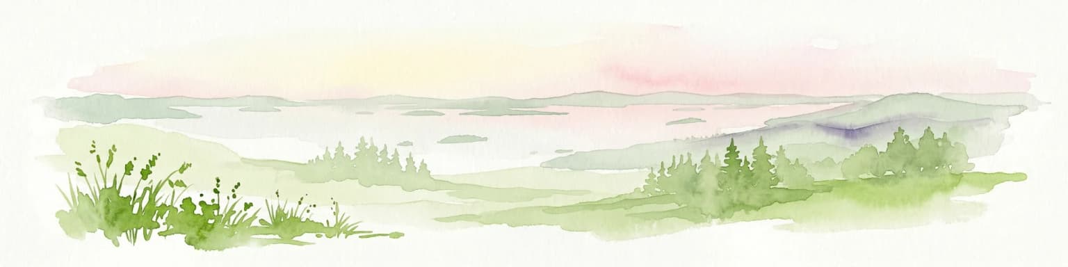
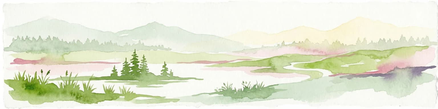
The park sits within the vast Saimaa lake system, one of Finland's most extensive lake districts, with the waters of Haukivesi forming the core aquatic environment. The main island of Linninsaari features varied terrain including forested areas, rocky ridges, and traditional agricultural landscapes centered around the historic croft. A prominent feature is Linnavuori, a rocky hill on the island that provides elevated views over the surrounding archipelago. The surrounding lake waters contain hundreds of smaller islands and islets, creating a diverse island landscape that extends across the lake surface. The forest cover combines natural-state coniferous woodlands with more herb-rich deciduous sections, while the traditional agricultural areas around the old croft maintain an open cultural landscape amid the predominantly forested terrain. The park encompasses both terrestrial and aquatic environments, with the lake waters providing the connective tissue that links the scattered islands into a coherent landscape unit.

Linnansaari National Park ecosystems, habitats, and plant life

The park exemplifies the ecology of Finnish lakeland, encompassing both aquatic and terrestrial habitats within a lake archipelago setting. The Saimaa lake system, of which Haukivesi is a major component, represents one of Finland's most significant freshwater environments and supports specialized species adapted to lake conditions. The park's forests include natural-state coniferous woodland alongside herb-rich deciduous sections, creating varied ecological conditions within a relatively compact area. The continuation of traditional slash-and-burn agriculture on the main island maintains open cultural habitats that support plant and animal species associated with Finland's rural heritage. The aquatic environment provides crucial habitat for the critically endangered Saimaa ringed seal, while the diverse island environments and shoreline areas support rich bird communities. The combination of different forest types, cultural landscapes, and aquatic habitats creates ecological diversity that supports multiple species groups.

Linnansaari National Park wildlife and species highlights

Linnansaari holds exceptional wildlife significance primarily due to its role in protecting the critically endangered Saimaa ringed seal, a subspecies found nowhere else in the world. These seals inhabit the lake waters year-round, having adapted to freshwater environments after being isolated in the Saimaa system when it separated from the sea thousands of years ago. The park also supports one of Finland's densest populations of ospreys, with these impressive birds of prey nesting throughout the archipelago and hunting in the lake waters. The diverse habitats support a range of bird species, from waterfowl using the lake areas to forest-dwelling species in the wooded sections. The traditional agricultural practices around the old croft help maintain open habitats that support species associated with Finland's cultural landscape heritage. The mix of forest types, wetlands, and lake environments provides conditions for various mammals and other wildlife beyond the headline species.

Linnansaari National Park conservation status and protection priorities

Linnansaari plays a critical role in global conservation efforts for the Saimaa ringed seal, with the park's waters providing essential habitat for this uniquely endangered subspecies. The species is endemic to the Saimaa lake system and represents one of the world's rarest seal populations, making protection of its habitat within the national park fundamentally important for species survival. The park is designated as a Natura 2000 site, forming part of Europe's coordinated network of protected areas that conserve biodiversity across national boundaries. Its classification as an internationally important bird area highlights additional conservation significance, particularly for supporting dense osprey populations. The management approach that maintains traditional slash-and-burn agriculture represents an innovative conservation model that recognizes the biodiversity value of culturally shaped landscapes, demonstrating how ongoing traditional practices can support conservation goals alongside strict nature protection.

Linnansaari National Park cultural meaning and human context

The park preserves traditional Finnish cultural heritage through the maintenance of an old croft where slash-and-burn agriculture continues on the cultivated fields. This traditional land management practice, known as kaskeaminen in Finnish, helps maintain the historic cultural landscape and associated plant and animal species that have evolved alongside these agricultural methods over generations. The croft represents a living example of traditional Finnish rural life, where human activities have shaped and supported biodiversity through centuries of sustainable land use. The park lies within the South Savo and Northern Savonia regions, areas with strong connections to Finnish cultural heritage and the country's tradition of sustainable forest and agricultural practices. The integration of cultural landscape management into the protected area represents a Finnish approach that recognizes the interconnectedness of human heritage and natural values.

Top sights and standout views in Linnansaari National Park

Linnansaari offers a unique combination of endangered species protection, cultural landscape preservation, and accessible wilderness experiences in Finland's distinctive lake district. Visitors can explore marked trails ranging from the accessible 700-meter Torpanpolku path to longer circuits like the 7-kilometer Linnavuoren polku that circles the island. The park provides remarkable opportunities to observe the critically endangered Saimaa ringed seal and one of Finland's densest osprey populations in their natural lake environment. The living cultural landscape around the old croft, where traditional slash-and-burn agriculture continues, represents a rare opportunity to experience Finnish rural heritage within a protected area. The archipelago setting, with hundreds of islands and expansive lake views from Linnavuori, creates a distinctive landscape that differs from Finland's better-known northern national parks.

Best time to visit Linnansaari National Park

Summer provides the most accessible period for visiting Linnansaari, with ferry connections operating from Oravi and from Rantasalmi's Lomakylä Järvisydän, allowing visitors to reach the main island during the warm months. The summer season offers optimal conditions for walking the various trails, observing wildlife, and experiencing the full archipelago landscape. Winter transforms the park into a different experience as the lake freezes, allowing access via cleared ice skating routes that provide an alternative way to reach and explore the island. The winter landscape offers a completely contrasting perspective on the lakeland environment, with frozen surfaces and snow-covered forests. Each season provides distinct opportunities for experiencing the park's natural environments and cultural features.

Park location guide

Geography guide, regional context, and park location map for Linnansaari National Park

Linnansaari National Park park geography, regions, and map view in Finland
Understand where Linnansaari National Park sits in Finland through a broader geographic reading of the surrounding landscape, nearby location context, and its mapped position within the national park landscape.

How Linnansaari National Park fits into Finland

Finland, officially the Republic of Finland, is a Nordic country in Northern Europe with a population of 5.6 million. It borders Sweden, Norway, and Russia, with the Gulf of Bothnia to the west and the Gulf of Finland to the south. The country gained independence from Russia in 1917 and is a unitary parliamentary republic. Its landscape is characterized by extensive boreal forests and over 180,000 lakes.

Wider geography shaping Linnansaari National Park in Finland

Finland is located in Northern Europe, occupying a peninsula bordered by the Gulf of Bothnia to the west and the Gulf of Finland to the south. It shares land borders with Sweden to the northwest, Norway to the north, and Russia to the east. The terrain is predominantly flat with extensive forest coverage and numerous lakes.

Map view of Linnansaari National Park

Use this park location map to pinpoint Linnansaari National Park in Finland, understand its exact geographic position, and read its mapped placement within the surrounding landscape more clearly.

Pigeon | © OpenStreetMap contributors

Location context for Linnansaari National Park

Northern SavoniaSouth Savo

A visual atlas of Linnansaari's unique lake scenery, forested islands, and cultural protected landscapes.

Linnansaari National Park Photos: Explore Finnish Lakeland Landscapes and Protected Habitats
Gain a clear visual understanding of Linnansaari National Park, from its extensive lake archipelago and forested islands to the traditional cultural landscapes maintained by historic crofts. The imagery provides detailed context for the park's varied terrain, aquatic environments, and vital habitats for species like the Saimaa ringed seal.

Forest-covered island surrounded by calm blue water under a partly cloudy sky

Park atlas

Extend your park discovery; trace mapped geography and compare other protected areas across Finland's Saimaa region.

Explore Nearby National Parks and Protected Areas Following Linnansaari National Park
Browse additional national parks and protected areas near Linnansaari National Park, including other sites across Finland's expansive Saimaa lake system. Compare diverse Finnish park geographies, trace regional conservation patterns, and deepen your exploration of the country's unique lake district ecosystems.
National parkEtelä-Savo

Kolovesi National Park: Mapped Protected Landscape in Etelä-Savo, Finland

Explore its geographic identity and mapped park boundaries.

Kolovesi National Park is a significant protected area located in the Etelä-Savo region of Finland, characterized by its presence within the Finnish lake district. This detailed page provides an atlas-centric view, emphasizing the park's mapped geographic features and its status as a protected natural landscape. Users engaging with MoriAtlas can understand Kolovesi National Park's unique landscape context and its precise location within the regional geography of southeastern Finland.

Area
61 km²
Established
1990
IUCN
II
Visitors
17.2K annual
National parkCentral Finland

Southern Konnevesi National Park: National Park Protected Landscape Atlas

Mapped boundaries and regional geography within Central Finland.

Southern Konnevesi National Park is a vital protected area within Central Finland, distinguished by its national park status and its inclusion in the vast Finnish Lakeland. This entry provides a detailed geographic context for the park, emphasizing its mapped boundaries and its role within the region's natural landscape. Users can leverage this structured information for atlas-based discovery and to understand the park's specific environmental setting. Explore the terrain and protected land features that define this significant Finnish protected area.

Area
15 km²
Established
2014
Visitors
30.4K annual
Relief
Mixed relief
Watercolor illustration of a landscape featuring green vegetation, rolling hills, and a body of water under a pastel sky
National parkNorth Karelia

Koli National Park: Protected National Park in North Karelia, Finland

Explore mapped landscape and regional geography.

Koli National Park represents a significant protected area within the eastern Finnish region of North Karelia. This page offers detailed geographic context and insight into the park's mapped landscape, essential for understanding its place within the broader atlas of Finland's natural terrain. Discover the protected boundaries and regional setting of this key national park.

Area
30 km²
Established
1991
IUCN
II
Visitors
249.8K annual
National parkCentral Finland

Leivonmäki National Park: Mapped Protected Landscape in Central Finland

Detailed geographic context for this Finnish national park.

Leivonmäki National Park offers a specific focus on a single protected landscape within the broader geography of Central Finland. This page provides users with detailed information centered on the park's mapped boundaries and its role as a national park. It is designed to be a foundational entry within the MoriAtlas discovery platform, helping users understand the park's geographic setting and its protected area status for informed exploration.

Area
29 km²
Established
2003
IUCN
II
Visitors
29.1K annual
Watercolor illustration showing a landscape with mountains, a winding river, and patches of green vegetation and trees
National parkFinland

Repovesi National Park: Finland's Boreal Wilderness and Protected Landscape

Explore mapped terrain and regional geography.

Repovesi National Park represents a significant protected natural area in southeastern Finland, showcasing a landscape characterized by dense boreal forests, rolling hills, and numerous lakes. As one of Finland's most visited national parks, it offers a compelling example of conserved wilderness and natural terrain. This page details the park's protected landscape identity, its geographic setting within Finland, and the atlas-driven insights available for exploring its mapped boundaries and natural features.

Area
15 km²
Established
2003
IUCN
II
Visitors
100.9K annual
Watercolor illustration showing a lake with forested shores and mountains in the background
National parkRepublic of Karelia

Ladoga Skerries National Park: National Park Protected Landscape & Geography

Mapped boundaries and regional context in the Republic of Karelia.

Discover Ladoga Skerries National Park, a key protected area recognized as a national park within the Republic of Karelia. This page provides essential context for understanding its mapped boundaries, the natural terrain it encompasses, and its geographical significance within the broader regional landscape. Utilize this information for structured atlas exploration of protected natural environments, focusing on the distinct identity of Ladoga Skerries National Park.

Area
1,220 km²
Established
2017
IUCN
II
Relief
Lowland
National parkNorth Karelia

Petkeljärvi National Park: Distinct Protected Landscape and Esker Formations in North Karelia

Discover Finland's unique esker ridges and boreal forests.

Petkeljärvi National Park represents a distinctive protected landscape in North Karelia, Finland, celebrated for its prominent esker formations that define its topography. The park showcases light Scots pine forests growing on sandy soils, creating an open forest character that sets it apart. Visitors can explore the mapped geography, including winding ridges, wetlands, and lake scenery, alongside preserved historical fortifications from the Continuation War, offering a rich blend of natural and cultural heritage within this compact national park.

Area
7 km²
Established
1956
IUCN
II
Visitors
17.3K annual
National parkNorth Karelia

Patvinsuo National Park: Protected Landscape Geography and Map Context

National park exploration in North Karelia, Finland.

Patvinsuo National Park stands as a vital protected area within North Karelia, Finland. This page serves as an atlas entry point, detailing the park's geographic scope, mapped boundaries, and its significance as a protected landscape. Users can explore the regional context and understand the natural terrain that characterizes this important Finnish national park, facilitating structured geographic discovery.

Area
105 km²
Established
1982
IUCN
II
Visitors
18.6K annual

Common questions about visiting, size, designation, and location context for Linnansaari National Park

Linnansaari National Park FAQs for park facts, access, geography, and protected area context
Find quick answers about Linnansaari National Park, including protected-area facts, park geography, trail and visitor context, and how the park fits into its surrounding country and regional landscape.
MoriAtlas Explorer

Continue Your Protected Areas Search Across the Global Atlas

Deepen your exploration by continuing the structured search for national parks and protected areas worldwide. Utilize the comprehensive filtering capabilities to compare different conservation landscapes and refine your understanding of global park geography. Discover more about the distribution and characteristics of protected natural areas.

Global natural geography