Mori Atlas logo
Park earthquake history

Review recorded seismic events, epicentre distances, and magnitude logs near this protected region.

Historical Earthquake Records and Seismic Activity Catalogue for Los Alerces National Park

This historical catalogue provides a structured overview of recorded seismic events associated with the geography of Los Alerces National Park. Each entry details the event date, magnitude, depth, and calculated epicentre distance from the park, drawing from established USGS records. Users can analyze seismic patterns over time and explore the recorded frequency of activity within the surrounding Patagonian Andean region.

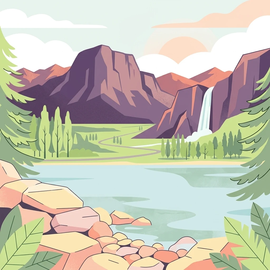
Illustrated scene showing mountains, a waterfall, a lake, pine trees, and a rocky shore

Patagonian wilderness protecting ancient alerce forests and pristine lake chains

Los Alerces National Park

Los Alerces National Park is a vast protected area in the Argentine Patagonia, located in Chubut Province along the Chilean border. The park was established in 1937 specifically to protect one of the world's most remarkable forest ecosystems: the ancient alerce trees, which are among the longest-living organisms on Earth, with specimens exceeding 3,600 years of age. The landscape has been sculpted by successive glaciations, creating a dramatic terrain of moraines, glacial cirques, and a spectacular chain of clear-water lakes draining into the Futaleufú River. The park's western reaches feature dense temperate rain forests, while the eastern portions transition to Patagonian forest and alpine meadows beneath rugged Andean peaks. In 2017, the park was inscribed as a UNESCO World Heritage Site in recognition of its exceptional natural value and its role in protecting some of the last remaining tracts of continuous Patagonian forest in a near-pristine state.

Location
Argentina
Park type
National park
Established
1937
Area
2,599 km²
Highest point
2,440 m
Los Alerces National Park Protected Landscape

Review Los Alerces National Park events by place and distance

Search historical earthquake records around Los Alerces National Park

Los Alerces National Park’s earthquake catalogue maps reported epicentres by calculated distance from its Patagonian boundary, separating the records from glacial landforms, lakes, mountains, and ancient alerce forest. Each source record supplies a date, magnitude, depth, locality, and park distance for historical comparison without claiming landscape effects, present danger, or prediction.

Sort by
Magnitude
Location

This page describes catalogued earthquakes associated with the park by epicentre location and distance. It does not establish causation, assess current danger, or predict future earthquakes.

No earthquake records match the current filters

Park atlas

Continue from Los Alerces National Park earthquake data

Discover more protected parks after Los Alerces National Park

Los Alerces National Park anchors the earthquake collection, then the atlas turns from its Patagonian forests and glacial lakes toward other protected-place pages. That continuation does not establish common landscape, designation, proximity, geology, earthquake data, hazard, risk, recognition, or matching documentation.
Watercolor illustration showing a lake surrounded by forested hills and mountains
National parkChubut Province
33 km away#1 closest

North

Lago Puelo National Park: A Unique Protected Landscape at the Intersection of Biomes

Explore its glacial terrain and Andean-Patagonian geographic context.

Lago Puelo National Park, located in Argentina's Chubut Province, stands out as a significant protected area due to its remarkable ecological diversity. This park is distinguished by its rare transition zone where the Patagonian forest converges with the Andean steppe, incorporating flora typically found in the Valdivian temperate rainforest. The mountainous landscape, carved by glaciers, features the striking turquoise waters of Puelo Lake and surrounding river systems. Understanding Lago Puelo National Park's geography provides insight into the complex natural systems of Patagonia and its unique protected biomes.

Area
276.74 km²
Established
1971
IUCN
II
Relief
Mountain
National parkChile
38 km away#2 closest

Southwest

Corcovado National Park, Chile: Protected Volcanic Landscapes and Glacial Wilderness Atlas

Detailed geography of Chile's remote coastal wilderness and marine estuaries

Corcovado National Park stands as a significant protected area in southern Chile, encompassing dramatic volcanic peaks and an extensive collection of glacial lakes. Its mapped boundaries reveal a remote wilderness where pristine temperate rainforests transition into the brackish estuaries of the Gulf of Corcovado, supporting vital marine ecosystems and critical blue whale populations.

Area
2,096 km²
Established
2005
IUCN
II
Relief
Mixed relief
National parkLos Lagos Region
61 km away#3 closest

North

Hornopirén National Park: Mapped Protected Landscape and Geographic Identity

Explore the national park's mapped boundaries and regional context.

Hornopirén National Park serves as a crucial protected landscape within Chile's Los Lagos Region. This dedicated park page offers detailed insight into its geographic setting, emphasizing mapped boundaries and its identity as a national park. Users can explore how Hornopirén National Park contributes to the regional geography and protected-area framework, providing a grounded point for landscape discovery.

Area
482 km²
Established
1988
IUCN
II
Relief
Mountain
National parkLos Lagos Region
104 km away#4 closest

North

Alerce Andino National Park: Protected Landscape Within Los Lagos Region Geography

Explore the national park's mapped boundaries and regional context.

Delve into the protected landscape of Alerce Andino National Park, a distinct national park entity situated in Chile's Los Lagos Region. This focus provides a clear understanding of its geographic setting, highlighting its importance within regional conservation efforts and offering a detailed view of its mapped terrain. Understand the park's place in the southern Chile geography through this detailed exploration.

Area
393 km²
Established
1982
IUCN
II
Visitors
12.2K annual
National parkRío Negro Province
106 km away#5 closest

North

Nahuel Huapi National Park: Protected Area Landscape and Geographic Context in Río Negro

Explore mapped natural terrain and park boundaries within Patagonia.

Nahuel Huapi National Park is a crucial protected area offering a deep dive into the Patagonian landscape. Situated in Argentina's Río Negro Province, this national park provides a detailed view of mapped natural terrain and its environmental context. Users can explore the park's geographic identity and protected boundaries, making it an essential stop for understanding the regional geography and conservation significance of this part of South America.

Area
7,050 km²
Established
1934
IUCN
II
Relief
Mountain
Watercolor illustration of rolling hills, a river flowing through a valley, and forested areas
National parkAysén del General Carlos Ibáñez del Campo Region
112 km away#6 closest

South

Queulat National Park: Patagonian Andes Glacier and Rainforest Discovery

Mapped protected area in Aysén del General Carlos Ibáñez del Campo Region.

Queulat National Park is a vast protected wilderness in southern Chile, renowned for its dramatic glacial alpine terrain and lush temperate rainforests. The park's geography is defined by steep glacial valleys, ice fields, and the iconic Queulat Hanging Glacier cascading from sheer cliffs. Discover the mapped boundaries of this significant Patagonian national park, offering unparalleled insight into its unique ecosystems and dramatic landscapes shaped by ice and forest.

Area
1,541 km²
Established
1983
IUCN
II
Relief
Mountain
Watercolor illustration of a mountainous landscape with green fields and forests under a pale sky
National parkAysén Region
114 km away#7 closest

Southwest

Melimoyu National Park: A Key Protected National Park within Chile's Aysén Region

Explore Melimoyu National Park's mapped boundaries and regional geography.

Melimoyu National Park stands as a distinct protected natural area, offering a focused lens for geographic discovery. As a national park situated in the Aysén Region, its mapped boundaries and regional landscape context are crucial for understanding its atlas significance. This entry provides specific details about the park's protected status and its contribution to the mapped terrain of southern Chile, enabling detailed exploration for atlas enthusiasts.

Area
1,055 km²
Established
2018
IUCN
II
Relief
Mixed relief
National parkLos Lagos Region
131 km away#8 closest

North

Vicente Pérez Rosales National Park: Protected Landscape & Regional Geography Atlas

Mapped park boundaries and natural terrain in Los Lagos Region.

Delve into the protected area identity of Vicente Pérez Rosales National Park, a significant national park situated in Chile's Los Lagos Region. This detailed exploration focuses on understanding the park's geographic setting, its mapped landscape features, and its contribution to the regional atlas of protected territories. Discover the natural terrain and boundary context that define this unique Chilean landscape.

Area
2,530 km²
Established
1926
IUCN
II
Visitors
332.3K annual
MoriAtlas Explorer

Continue Exploring Los Alerces National Park's Geographic Identity and Mapped Landscapes

Delve deeper into the specific protected area details of Los Alerces National Park, uncovering its unique glacial geomorphology and the distribution of its ancient alerce forests. Understanding this park's geographic context within Argentina and its significance as a preserved natural landscape offers profound insights for atlas exploration and regional geography study.