
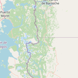
Rivers
Park geography
Analyzing the protected terrain, mountain ranges, and lacustrine ecosystems of Chubut Province
Geographic Profile and Mapped Boundaries of Los Alerces National Park in Argentina
This geographic analysis details the physical extent of Los Alerces National Park, spanning 2,599 square kilometers within the Chubut Province of Argentina. The structured data includes elevation markers reaching 2,440 meters, a 238-kilometer boundary perimeter, and a diverse range of natural features including mountain peaks, river systems, and temperate forests.
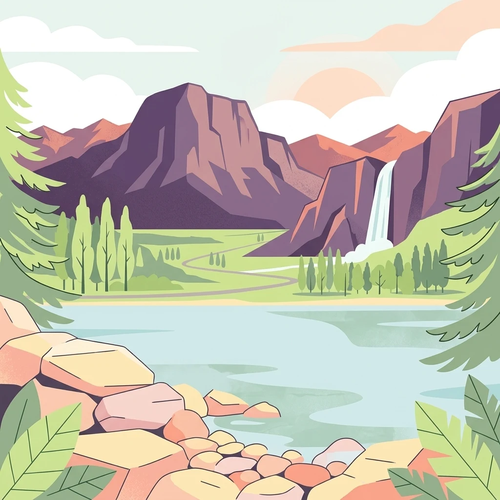
Patagonian wilderness protecting ancient alerce forests and pristine lake chains
Los Alerces National Park
Los Alerces National Park is a vast protected area in the Argentine Patagonia, located in Chubut Province along the Chilean border. The park was established in 1937 specifically to protect one of the world's most remarkable forest ecosystems: the ancient alerce trees, which are among the longest-living organisms on Earth, with specimens exceeding 3,600 years of age. The landscape has been sculpted by successive glaciations, creating a dramatic terrain of moraines, glacial cirques, and a spectacular chain of clear-water lakes draining into the Futaleufú River. The park's western reaches feature dense temperate rain forests, while the eastern portions transition to Patagonian forest and alpine meadows beneath rugged Andean peaks. In 2017, the park was inscribed as a UNESCO World Heritage Site in recognition of its exceptional natural value and its role in protecting some of the last remaining tracts of continuous Patagonian forest in a near-pristine state.
- Location
- Argentina
- Park type
- National park
- Established
- 1937
- Area
- 2,599 km²
- Highest point
- 2,440 m
Location overview
Regional placement in Chubut Province and transboundary alignment
Mapped Geography of Los Alerces National Park in Argentina
Los Alerces National Park is located within Chubut Province in Argentina. As a transboundary protected area, its administrative relationships define its position on the regional map.
- Countries
- Argentina
- Regions
- Chubut Province
- Primary location
- Argentina
- Geographic setting
- Transboundary · Inland
Boundary and coordinates
Los Alerces National Park’s outline maps 2,599 km²
Los Alerces National Park mapped boundary and 2,599 km² area
Los Alerces National Park’s mapped footprint covers a recorded 2,599 km². This geometry provides a clear sense of the park’s spatial scale while avoiding any claim of survey-grade boundary precision.
- Boundary area
- 1,883.4 km²
- Boundary perimeter
- 238.8 km
- Northernmost point
- 42.5572° S
- Southernmost point
- 43.1271° S
- Easternmost point
- 71.5943° W
- Westernmost point
- 72.1789° W
- Geographic centre
- 42.8056° S, 71.8984° W
- North–south span
- 63.3 km
- East–west span
- 47.8 km
Elevation and terrain
Vertical relief metrics and recorded natural features across the protected landscape
Los Alerces National Park Elevation Range and Mountain Terrain Geography
Elevation records span from a low point of 330 meters up to a high point of 2440 meters across the mountain terrain. Individual feature cards list recorded rivers, peaks, lakes, and glaciers located within the protected boundary.
- Minimum elevation
- 330 m
- Maximum elevation
- 2,440 m
- Highest point
- 2,440 m
Selected named natural features
Rivers
Río Stange
Peaks
Cerro Mogote
1,704 m
Streams
Arroyo Techado Blanco
Mountain saddles
Abra de Menendez
Peaks
Cerro Cocinero
2,307 m
Environmental setting
Temperate mountain relief, major water networks, and forest habitats across the protected terrain
Environmental Setting and Landscape Classifications of Los Alerces National Park
Recorded landscape features, habitat types, and climate classifications provide structured categories for reading the physical setting of the protected area. Stored environmental attributes link directly to relevant atlas destinations and regional geography records.
- Relief
- Mountain
- Climate
- Temperate
- Water
- Major water bodies
- Forest cover
- Mostly forested
- Seasonality
- Year-round
Landscape features
Mountains · Valleys · Lakes · Rivers · Glacier · Forest · Woodland · Wetland
Habitat types
Temperate broadleaf forest · Montane forest · Grassland · Wetland · Riverine habitat · Lacustrine habitat
Park atlas
Compare Protected Landscapes and Regional Geography in the Patagonian Andes
Explore Nearby National Parks and Protected Areas Beyond Los Alerces National Park
After exploring Los Alerces National Park's ancient alerce forests and dramatic glacial lakes, continue discovering other national parks and protected areas across the Patagonian Andes. Comparing these regional conservation landscapes offers deeper insights into similar forest ecosystems, shared geological formations, and the broader geographic spread of protected terrain.
National parkChubut Province
33 km away#1 closest
North

Lago Puelo National Park: A Unique Protected Landscape at the Intersection of Biomes
Explore its glacial terrain and Andean-Patagonian geographic context.
Lago Puelo National Park, located in Argentina's Chubut Province, stands out as a significant protected area due to its remarkable ecological diversity. This park is distinguished by its rare transition zone where the Patagonian forest converges with the Andean steppe, incorporating flora typically found in the Valdivian temperate rainforest. The mountainous landscape, carved by glaciers, features the striking turquoise waters of Puelo Lake and surrounding river systems. Understanding Lago Puelo National Park's geography provides insight into the complex natural systems of Patagonia and its unique protected biomes.
- Area
- 276.74 km²
- Established
- 1971
- IUCN
- II
- Relief
- Mountain
National parkChile
38 km away#2 closest
Southwest

Corcovado National Park, Chile: Protected Volcanic Landscapes and Glacial Wilderness Atlas
Detailed geography of Chile's remote coastal wilderness and marine estuaries
Corcovado National Park stands as a significant protected area in southern Chile, encompassing dramatic volcanic peaks and an extensive collection of glacial lakes. Its mapped boundaries reveal a remote wilderness where pristine temperate rainforests transition into the brackish estuaries of the Gulf of Corcovado, supporting vital marine ecosystems and critical blue whale populations.
- Area
- 2,096 km²
- Established
- 2005
- IUCN
- II
- Relief
- Mixed relief
National parkLos Lagos Region
61 km away#3 closest
North
Hornopirén National Park: Mapped Protected Landscape and Geographic Identity
Explore the national park's mapped boundaries and regional context.
Hornopirén National Park serves as a crucial protected landscape within Chile's Los Lagos Region. This dedicated park page offers detailed insight into its geographic setting, emphasizing mapped boundaries and its identity as a national park. Users can explore how Hornopirén National Park contributes to the regional geography and protected-area framework, providing a grounded point for landscape discovery.
- Area
- 482 km²
- Established
- 1988
- IUCN
- II
- Relief
- Mountain
National parkLos Lagos Region
104 km away#4 closest
North
Alerce Andino National Park: Protected Landscape Within Los Lagos Region Geography
Explore the national park's mapped boundaries and regional context.
Delve into the protected landscape of Alerce Andino National Park, a distinct national park entity situated in Chile's Los Lagos Region. This focus provides a clear understanding of its geographic setting, highlighting its importance within regional conservation efforts and offering a detailed view of its mapped terrain. Understand the park's place in the southern Chile geography through this detailed exploration.
- Area
- 393 km²
- Established
- 1982
- IUCN
- II
- Visitors
- 12.2K annual
National parkRío Negro Province
106 km away#5 closest
North
Nahuel Huapi National Park: Protected Area Landscape and Geographic Context in Río Negro
Explore mapped natural terrain and park boundaries within Patagonia.
Nahuel Huapi National Park is a crucial protected area offering a deep dive into the Patagonian landscape. Situated in Argentina's Río Negro Province, this national park provides a detailed view of mapped natural terrain and its environmental context. Users can explore the park's geographic identity and protected boundaries, making it an essential stop for understanding the regional geography and conservation significance of this part of South America.
- Area
- 7,050 km²
- Established
- 1934
- IUCN
- II
- Relief
- Mountain
National parkAysén del General Carlos Ibáñez del Campo Region
112 km away#6 closest
South
Queulat National Park: Patagonian Andes Glacier and Rainforest Discovery
Mapped protected area in Aysén del General Carlos Ibáñez del Campo Region.
Queulat National Park is a vast protected wilderness in southern Chile, renowned for its dramatic glacial alpine terrain and lush temperate rainforests. The park's geography is defined by steep glacial valleys, ice fields, and the iconic Queulat Hanging Glacier cascading from sheer cliffs. Discover the mapped boundaries of this significant Patagonian national park, offering unparalleled insight into its unique ecosystems and dramatic landscapes shaped by ice and forest.
- Area
- 1,541 km²
- Established
- 1983
- IUCN
- II
- Relief
- Mountain
National parkAysén Region
114 km away#7 closest
Southwest
Melimoyu National Park: A Key Protected National Park within Chile's Aysén Region
Explore Melimoyu National Park's mapped boundaries and regional geography.
Melimoyu National Park stands as a distinct protected natural area, offering a focused lens for geographic discovery. As a national park situated in the Aysén Region, its mapped boundaries and regional landscape context are crucial for understanding its atlas significance. This entry provides specific details about the park's protected status and its contribution to the mapped terrain of southern Chile, enabling detailed exploration for atlas enthusiasts.
- Area
- 1,055 km²
- Established
- 2018
- IUCN
- II
- Relief
- Mixed relief
National parkLos Lagos Region
131 km away#8 closest
North
Vicente Pérez Rosales National Park: Protected Landscape & Regional Geography Atlas
Mapped park boundaries and natural terrain in Los Lagos Region.
Delve into the protected area identity of Vicente Pérez Rosales National Park, a significant national park situated in Chile's Los Lagos Region. This detailed exploration focuses on understanding the park's geographic setting, its mapped landscape features, and its contribution to the regional atlas of protected territories. Discover the natural terrain and boundary context that define this unique Chilean landscape.
- Area
- 2,530 km²
- Established
- 1926
- IUCN
- II
- Visitors
- 332.3K annual
MoriAtlas Explorer
Continue Exploring Los Alerces National Park's Geographic Identity and Mapped Landscapes
Delve deeper into the specific protected area details of Los Alerces National Park, uncovering its unique glacial geomorphology and the distribution of its ancient alerce forests. Understanding this park's geographic context within Argentina and its significance as a preserved natural landscape offers profound insights for atlas exploration and regional geography study.
Browse next
Global natural geography
Explore related park routes
Explore MoriAtlas Global ParksBrowse All MoriAtlas ParksGlobal Park Map DiscoveryMoriAtlas: Browse All CountriesBrowse All MoriAtlas ContinentsNational Park Environment AtlasGrand Canyon National Park AtlasYellowstone National Park AtlasYosemite National Park Atlas and GeographySerengeti National Park AtlasGalápagos National Park Protected LandscapeBanff National Park Geography and AtlasKruger National Park Atlas EntryUluṟu-Kata Tjuṯa National Park AtlasExplore Uluru-Kata Tjuta National Park GeographyPlitvice Lakes National Park AtlasFiordland National Park Protected LandscapeGreat Smoky Mountains National Park AtlasAfghanistan National Parks and Protected AreasAlbania National Parks and Protected AreasAlgeria National Parks and Protected AreasAmerican Samoa National Parks and Protected AreasAndorra National Parks and Protected AreasAngola National Parks and Protected AreasAntarctica National Parks and Protected AreasAntigua and Barbuda Park List