Mountain saddles
Collado de la Pared
556 m

A detailed look at the terrain, landscape classification, and internal natural features.
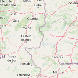
Explore the structured geographic data of Monfragüe National Park, covering its 179 square kilometer area and 99 kilometer perimeter across the Cáceres Province. This profile details the Mediterranean forest and mountainous terrain, including recorded viewpoints, peaks, and springs situated within the park boundaries.
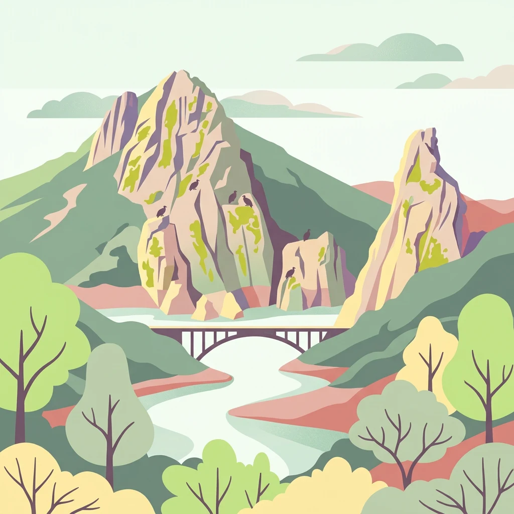
Raptor capital of Europe in the heart of Extremadura
Monfragüe National Park is a protected area in western Spain, situated in the province of Cáceres within the autonomous community of Extremadura. The park occupies a landscape defined by dramatic river valleys where the Tagus (Tajo) and Tiétar rivers have cut through a long mountainous ridge, creating spectacular cliffs and rock faces that serve as nesting sites for one of Europe's most impressive concentrations of birds of prey. Established as a national park in 2007 after decades as a natural park and Special Protection Area, Monfragüe protects a Mediterranean ecosystem of scrubland, oak dehesas, and rocky outcrops that support extraordinary biodiversity. The park lies in the center of a triangle formed by the historic towns of Plasencia, Trujillo, and Cáceres, with its landscape dominated by the iconic Peña Falcon cliff on the western side and the ruins of Monfragüe Castle on the eastern slope.
Administrative placement within Extremadura and Cáceres Province
Interactive protected-area geometry and calculated spatial metrics
Mountain classification and recorded geographic features
Mountain saddles
556 m
Viewpoints
Peaks
338 m
Peaks
339 m
Peaks
389 m
Streams
Recorded Mediterranean climate zones, mountain relief, and forest types
Mountains · Cliffs · Valleys · Forest · Woodland
Mediterranean forest · Shrubland · Temperate broadleaf forest
Trace the Regional Spread of Protected Landscapes and Park Geography Across Extremadura

Explore mapped terrain and regional geography within this Spanish National Park.
As a national park in Spain's Extremadura region, Monfragüe National Park offers a distinct protected landscape shaped by the Tagus River and dramatic limestone cliffs. It is globally recognized for its exceptional birdlife, especially its large griffon vulture colonies and populations of Spanish imperial eagles, making it a significant site for ecological study and atlas-based exploration of protected areas. The park's landscape, characterized by Mediterranean woodlands and rugged terrain, provides crucial habitat and a unique geographic context for understanding Iberian Peninsula conservation.
Southeast
A study of reservoir coastlines and Mediterranean serranías
La Siberia Biosphere Reserve offers a deep look into the rural landscape of Extremadura, Spain. Characterized by five major reservoirs and vast Mediterranean oak dehesas, the area provides essential habitat for raptors and preserves significant prehistoric rock art within its complex serranía topography. Explore the geographic boundaries and water-dominated landscape of this distinct inland region.
East
Mapped Geography of Montes de Toledo Protected Area
Cabañeros National Park is celebrated as the most extensive and well-conserved example of Iberian Mediterranean forest in Spain. Situated within the Montes de Toledo, the park features a remarkable dichotomy between its unique raña flatlands and mountainous sierras, harboring ancient oak woodlands and significant biodiversity. This national park serves as a crucial component of the region's geographic context and a prime destination for atlas-based discovery of protected landscapes.
Southwest

Explore the unique mountain terrain and ecosystems of Portalegre District.
Delve into the geographic and ecological identity of Serra de São Mamede Natural Park, a significant protected landscape situated in Portugal's Portalegre District. This area is renowned for its dramatic quartzite ridges and its role as a crucial meeting point for Atlantic and Mediterranean plant communities, offering a unique atlas perspective on regional biodiversity. Examining its mapped boundaries and diverse terrain provides essential context for understanding its ecological importance and its distinct position within the Alentejo region's geography.
Northwest
Explore the dramatic geography of this nature reserve.
Serra da Estrela Natural Park is a significant protected landscape in Portugal, celebrated for containing the nation's highest peak and exceptional Quaternary glacial formations. The park's terrain includes dramatic valleys carved by ice, numerous glacial lakes, and a stark alpine plateau around Torre. This nature reserve preserves a unique environment shaped by both geological history and traditional pastoralism, offering rich mapped context for understanding Portugal's mountainous geography and protected areas.
Northeast
Explore diverse high Mediterranean mountain terrain and ecosystems.
Sierra de Guadarrama National Park is a significant protected national park in central Spain, characterized by its extensive granite landscapes and eleven distinct ecosystems. This park protects crucial high Mediterranean mountain environments, ancient pine forests, and dramatic glacial formations. Its geographic position within the Sistema Central makes it essential for understanding the regional geography and mapped terrain of the Iberian Peninsula, offering a unique look at a vital protected landscape.
East
Explore mapped boundaries and regional geographic context.
Tablas de Daimiel National Park represents one of the last remaining examples of floodplain wetland systems in Spain's interior. Located in Castilla-La Mancha, this protected area showcases a unique confluence of fresh and brackish waters, supporting a rich mosaic of emergent vegetation and serving as a critical habitat for migratory birds. Use MoriAtlas to explore its precise geographic setting, mapped terrain, and its role as a vital conservation landscape within the Iberian Peninsula.

North
Explore mapped boundaries and regional landscape context.
Montesinho Natural Park is designated as a protected landscape in northeastern Portugal, located within the administrative region of Bragança District. This page serves as an entry point to understanding the park's protected area characteristics, its mapped geographic footprint, and its role in the broader natural landscape of the Trás-os-Montes region. Discover the atlas value of this significant protected territory and its relation to surrounding geography.
Delve deeper into the specific geography and protected landscape of Monfragüe National Park within the Extremadura region. Understanding its unique terrain, mapped boundaries, and role as a vital avian habitat provides crucial context for appreciating this significant protected area. Use MoriAtlas to connect this park's specific natural characteristics with its broader regional and national geographic setting.