Mori Atlas logo
Nearby park discovery

Regional landscape context and geographic distribution of nearby protected environments

National Parks and Protected Areas Surrounding Monga National Park in New South Wales

Trace the geographic distribution of national parks and protected areas surrounding Monga National Park in the Southern Tablelands. This regional mapping provides a visual perspective of terrain types and protected land clusters throughout the surrounding geography of New South Wales.

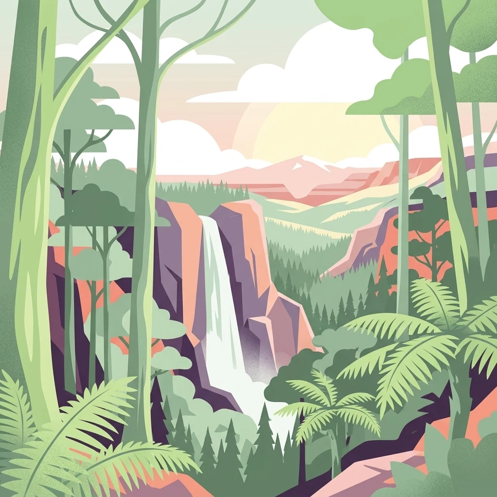
Stylized illustration of a waterfall surrounded by tall trees and ferns with mountains in the background

High-altitude eucalyptus forests and temperate rainforest in the Southern Tablelands of New South Wales

Monga National Park

Monga National Park is a protected area of 251 square kilometres situated in the Southern Tablelands region of New South Wales, Australia, approximately 230 kilometres southwest of Sydney. The park occupies a mountainous landscape at elevations reaching 686 meters, characterized by rugged terrain, steep valleys, and the headwaters of several creek systems that flow into the Shoalhaven River basin. Established on 1 January 2001, the park was created to protect outstanding examples of high-altitude eucalyptus forest and temperate rainforest ecosystems that are representative of the region's natural heritage. The landscape features a mosaic of wet sclerophyll forests, subalpine woodland, and pockets of ancient rainforest that harbor significant biodiversity. Monga National Park is notable for its relatively remote and undisturbed character, offering visitors a sense of wildness within relatively close proximity to Sydney and the surrounding regional centres.

Location
Australia
Park type
National park
Established
2001
Area
251.4 km²
Monga National Park National Park Geography
Regional park map

See the ranked park cluster in its geographic setting

Nearby parks around Monga National Park

This regional map shows the same 20 nearby parks ranked below around Monga National Park. Select a ranked marker to highlight that park’s boundary where boundary data is available.
Reference park: Monga National ParkRanked nearby park20 nearby parks shown
20 nearby parks

Distance-ranked collection and regional park geography for comparative analysis

Parks and Protected Areas Geographically Near Monga National Park

Geographic separation and directional placement define this ranked collection of protected areas surrounding Monga National Park. Country context and recorded environmental characteristics provide structured comparison signals for surrounding protected landscapes.
National parkNew South Wales
About 6.1 km away#1 closest

Southwest

Deua National Park: New South Wales National Park Exploration and Map Context

Discover protected landscape boundaries and regional geography.

Deua National Park offers a focused lens into Australia's protected areas, specifically within the state of New South Wales. This page provides detailed geographic context, enabling users to trace the park's boundaries and understand its position within the regional atlas. Explore the mapped terrain and the protected landscape identity that defines Deua National Park as a key component of conservation efforts in the area, ideal for a structured understanding of protected natural spaces.

Area
1,220 km²
Established
1979
IUCN
Ib
Relief
Mountain
National parkNew South Wales
About 12 km away#2 closest

North

Budawang National Park: Wilderness Area and Rugged Terrain Map

Discover New South Wales protected landscape geography.

Budawang National Park is recognized for its exceptional wilderness character, defined by the steep topography of the southern Budawang Range. This protected national park features extensive cool temperate rainforests clothing its middle and upper slopes, creating a visually striking and ecologically rich mountain environment. Its rugged terrain, with deep valleys and rocky outcrops, distinguishes it as a remote natural landscape within New South Wales, offering unique habitat pockets and contributing to the region's protected area atlas.

Area
237 km²
Established
1977
IUCN
Ib
Relief
Mountain
National parkAustralia
About 13 km away#3 closest

East

Clyde River National Park: Australia's Protected Riverine Landscape and Swift Parrot Sanctuary

Discover its vital role in conservation and mapped geography.

Clyde River National Park is a critical protected area in Australia, safeguarding nine kilometers of river frontage along the Clyde River. Established for its ecological importance, particularly as a sanctuary for the endangered swift parrot, the park's landscape is characterized by riverine forests and eucalyptus woodlands. This designation highlights its role in preserving key habitats and contributing to the regional map of protected lands vital for biodiversity.

Area
10.91 km²
Established
2000
IUCN
II
Scope
Terrestrial
National parkNew South Wales
About 16 km away#4 closest

Northeast

Bimberamala National Park: New South Wales National Park Protected Landscape Atlas

Mapped boundaries and regional geographic context for discovery.

Bimberamala National Park is a protected natural area within New South Wales, Australia, offering a distinct geographic profile. As a national park, its mapped boundaries and landscape characteristics are valuable for understanding regional protected areas and their distribution. This entity provides a focused point for atlas-based geographic exploration, allowing users to study its specific terrain and environmental context within the wider Australian geography.

Area
43.96 km²
Established
2001
IUCN
II
Relief
Upland
National parkNew South Wales
About 22 km away#5 closest

East

Murramarang National Park: Discover Its Mapped Protected Area and New South Wales Geography

Explore the unique landscape and geographic features.

Murramarang National Park stands as a distinct protected area within New South Wales, offering a unique landscape to explore through its mapped boundaries and regional geographic context. This resource provides essential details for understanding its place in the atlas of Australian protected lands. Users can gain a factual appreciation of the park's physical geography and its identity as a national park, grounded in spatial data and mapped terrain.

Area
121 km²
Established
1973
IUCN
II
Relief
Mountain
Watercolor painting of a green, hazy coastal landscape with hills, a small island, and light water reflections.
Nature reserveNew South Wales
About 29 km away#6 closest

Southeast

Broulee Island Nature Reserve: Mapping Coastal Landscapes and Island Geography in NSW

Protected coastal island and sand tombolo formations

Broulee Island Nature Reserve is a key protected area on the NSW South Coast, characterized by its tidal platforms and the sand tombolo that links the island to the mainland. This reserve offers a compact, geologically significant coastal landscape that illustrates the interaction between marine forces and dune ecosystems, serving as an essential reference for South Coast geographic study.

Area
0.43 km²
Established
1972
IUCN
IV
Relief
Lowland
Watercolor painting showing green hills, valleys, and distant mountains
National parkNew South Wales
About 32 km away#7 closest

South

Eurobodalla National Park: New South Wales Coastal Protected Landscape and Geographic Atlas

Explore its mapped protected boundaries and unique estuarine wetland habitats.

Eurobodalla National Park represents a critical segment of the New South Wales coastline, distinguished by its designation as a national park. The park's geography is characterized by a mosaic of coastal terrains, including sandy shores, river estuaries, and vegetated headlands, which collectively form essential protected landscapes. It is particularly recognized for its role in supporting migratory bird populations and serves as a key site for understanding coastal ecology and conservation efforts within Australia. Through its mapped protected areas, Eurobodalla National Park provides valuable insights into the regional geography and the distribution of vital natural habitats.

Area
29.13 km²
Established
1995
IUCN
II
Relief
Lowland
Watercolor landscape illustration showing green fields, trees, hills, and pastel sky
National parkNew South Wales
About 34 km away#8 closest

North

Morton National Park: A Protected Landscape of Waterfalls and Dissected Plateaus in New South Wales

Explore its mapped boundaries and regional geographic context.

Morton National Park is a nationally recognized protected area within New South Wales, Australia, celebrated for its striking natural features and geographic significance. The park's landscape is characterized by a dramatic dissected plateau, giving rise to impressive waterfall systems such as Fitzroy Falls and Belmore Falls that cascade into deep gorges. As a key component of the Southern Highlands' natural heritage, Morton National Park provides a rich subject for atlas exploration, offering insights into regional terrain, protected land distribution, and the unique interplay of natural elements within this Australian national park.

Area
1,997.45 km²
Established
1967
IUCN
II
Relief
Mixed relief
National parkNew South Wales
About 39 km away#9 closest

Northeast

Meroo National Park: Protected National Park in New South Wales with Mapped Landscape Identity

Explore the protected landscape and geographic context of this national park.

Meroo National Park is a protected national park located in New South Wales, Australia, offering specific geographic context for atlas exploration. This page provides details on its mapped boundaries and its identity as a conservation landscape. Understanding Meroo National Park's place within the regional geography of New South Wales is key to appreciating its protected status and unique natural characteristics, all within a framework designed for structured geographic discovery.

Established
2001
IUCN
II
Relief
Lowland
Climate
Temperate
National parkNew South Wales
About 41 km away#10 closest

Northwest

Tallaganda National Park: New South Wales Protected Area and Geographic Atlas Entry

Explore mapped boundaries and natural landscape context.

Tallaganda National Park serves as a vital protected landscape within the state of New South Wales, offering users a deep dive into its specific geographic identity and mapped territory. As a national park, its protected boundaries are crucial for understanding its role in regional geography and conservation. This detail page provides the foundation for atlas-style exploration, focusing on the park's unique landscape characteristics and its place within Australia's network of protected areas.

Access
Moderate access
Scope
Terrestrial
Water
Minor water
Forest
Mostly forested
A soft watercolor painting of a coastline featuring gentle green hills on the sides, calm water in the center, and pale, misty islands in the background under a warm, diffused sky.
Nature reserveNew South Wales
About 43 km away#11 closest

East

Brush Island Nature Reserve: Mapping the Protected Landscape and Seabird Terrain of New South Wales

Offshore island conservation area and rocky coastal habitat in the Tasman Sea.

Brush Island Nature Reserve is a small but ecologically significant protected area located off the South Coast of New South Wales. Defined by its steep cliffs and gullies, the island provides critical nesting ground for seabird populations. This entry provides a structured look at the island's physical boundaries, its status as a strict nature reserve, and its regional geographic context.

Area
0.47 km²
Established
1963
IUCN
Ia
Relief
Lowland
Nature reserveNew South Wales
About 43 km away#12 closest

Northwest

Burrin Burrin Reserve Nature Reserve: Southern Tablelands Escarpment and Forest Geography

Protected eucalypt wilderness on the Great Dividing Range escarpment

Burrin Burrin Reserve represents a crucial conservation area in the Southern Tablelands, defined by its steep topography and tall wet eucalypt forests. This reserve serves as a vital refuge for specialized bird and mammal species, offering a unique look at the transition zones found within the Great Dividing Range escarpment of New South Wales.

Area
4.11 km²
Established
1999
Relief
Mountain
Scope
Terrestrial
National parkNew South Wales
About 57 km away#13 closest

South

Wadbilliga National Park: Exploring New South Wales' Rugged Protected Landscape

Discover its mapped terrain and diverse ecosystem geography.

Wadbilliga National Park in New South Wales is a prime example of a large, remote protected area characterized by its rugged natural terrain and diverse ecosystems. Spanning approximately 985 square kilometres, the park features dramatic geographic contrasts, from deep gorges carved by rivers like the Tuross to expansive plateaus and sheltered gullies supporting varied vegetation communities. Its designation as a national park underscores its importance for conservation and provides a unique opportunity for understanding the mapped landscape context of southeastern Australia.

Area
985.3 km²
Established
1979
IUCN
Ib
Relief
Mountain
Nature reserveNew South Wales
About 61 km away#14 closest

Northeast

Yatteyattah Nature Reserve: A Geographical Overview of Coastal Protected Rainforests

Mapping subtropical rainforest remnants in New South Wales

Yatteyattah Nature Reserve provides a vital case study in protected-area geography by maintaining a complex subtropical rainforest canopy near the southern limits of its climatic envelope. Located on the New South Wales coast, the reserve features a diverse assemblage of rainforest trees and epiphytic ferns thriving on fertile monzonite soils, offering a clear visual contrast to the surrounding grazing countryside within the regional landscape.

Area
0.35 km²
Established
1996
IUCN
Ia
Relief
Upland
National parkNew South Wales
About 61 km away#15 closest

Northeast

Conjola National Park: Mapped Protected Landscape within New South Wales Geography

Explore the park's protected boundaries and regional terrain.

Conjola National Park represents a distinct protected landscape within New South Wales, offering rich opportunities for geographic discovery. As a national park, its mapped boundaries and natural terrain contribute significantly to the regional atlas. This entry provides essential context for understanding the park's protected identity and its contribution to the broader geographic landscape of Australia, facilitating detailed map exploration.

Area
10 km²
Established
1994
IUCN
II
Relief
Lowland
National parkNew South Wales
About 62 km away#16 closest

South

Kooraban National Park: Protected Area Map and Landscape Geography in New South Wales

Explore critical marsupial habitat and transitional terrain.

Kooraban National Park in New South Wales is a protected national park recognized for its role in conserving vulnerable marsupial species and its distinctive transitional landscape. Spanning over 11,500 hectares, the park connects inland tableland environments with coastal ecosystems, defined by the Narira Creek valley and Tuross River system. Its geography supports four distinct vegetation communities, making it a vital area for endangered animal habitats and broader conservation efforts within southeastern Australia. This park provides essential context for understanding regional geography and protected-area networks.

Area
116.26 km²
Established
2001
IUCN
II
Relief
Mixed relief
Nature reserveNew South Wales
About 62 km away#17 closest

West

Strike-a-Light Nature Reserve: Monaro Region Upland Protected Landscape Analysis

Essential conservation geography of southeastern New South Wales

Strike-a-Light Nature Reserve functions as a critical, high-protection status area dedicated to preserving native temperate grassland. Located in the Monaro region of New South Wales, the site provides a mapped window into the cool, grassy uplands and rolling tablelands of the Southern Tablelands, maintaining ecological integrity in a landscape defined by historically significant ground cover and open woodland remnants.

Area
4.07 km²
Established
2001
IUCN
Ia
Relief
Upland
National parkNew South Wales
About 68 km away#18 closest

South

Gulaga National Park: Mapped Protected Area and Geographic Context in New South Wales

Explore New South Wales's significant national park boundaries.

Gulaga National Park stands as a key protected area within the diverse geography of New South Wales, Australia. This page offers focused insights into the park's mapped landscape, its protected-area designation as a national park, and its specific regional context. Utilize this information for detailed atlas-based exploration of Australia's natural heritage.

Area
46.73 km²
Established
2001
IUCN
II
Relief
Mountain
A horizontal watercolor painting showing soft green hills and a light blue water line against a white background.
Nature reserveNew South Wales
About 69 km away#19 closest

South

Barunguba Montague Island Nature Reserve: Coastal Geography and Protected Island Terrain

Mapped offshore protected landscapes in New South Wales

Barunguba Montague Island Nature Reserve stands as an essential protected island off the New South Wales coast. This compact continental landmass is defined by its rocky shorelines, marine wildlife aggregations, and ongoing ecological restoration projects. Its geographic profile and maritime setting make it a central point for understanding the diverse protected areas found within the Tasman Sea region of eastern Australia.

Area
0.81 km²
Established
1990
IUCN
IV
Visitors
6K annual
National parkNew South Wales
About 70 km away#20 closest

Northeast

Jerrawangala National Park: Protected Landscape Identity and New South Wales Geographic Context

Explore its mapped terrain and regional protected area distribution.

Jerrawangala National Park stands as a distinct protected natural area within the geography of New South Wales. This resource details its protected landscape character and its position within the broader regional atlas. Users can understand the park's mapped boundaries and its role in conservation landscapes, offering a concrete geographic anchor for exploration. Dive into the specifics of this national park's setting and its contribution to understanding the natural terrain of Australia.

Relief
Upland
Climate
Temperate
Access
Remote access
Scope
Terrestrial
Distance methodology

Geographic measurements, not driving distances

How nearby park distances are calculated

Distances use park boundaries whenever the available geometry allows it. When one or both boundaries are missing, the mapped park locations provide a clearly labelled estimate. Every value represents straight-line geographic separation and does not use roads or routing.

Boundary distance

Calculated between the nearest points of both park boundaries.

Location-to-boundary estimate

Estimated from one mapped park location to the nearest boundary of the other park.

Mapped-location estimate

Estimated between the mapped locations of both parks.

MoriAtlas Explorer

Continue Exploring Monga National Park's Geography and Protected Landscape Context

Deepen your understanding of Monga National Park by examining its specific geographic features and its status as a protected national park. Discover how its mapped boundaries contribute to the regional landscape of New South Wales, providing rich data for atlas exploration and geographic context beyond the park's immediate features.