Mori Atlas logo
National parkMount Imlay National Park

Discover the mapped boundaries and regional geography of this Australian national park.

Mount Imlay National Park: Protected Landscape and Geographic Context within New South Wales

Mount Imlay National Park stands as a key protected area within New South Wales, offering a distinct geographic identity for atlas exploration. This national park provides critical context for understanding the distribution of protected lands and natural landscapes across Australia. Its mapped terrain and regional setting are essential for appreciating the geographic scope of conservation efforts and exploring its unique place in the natural atlas.

mountain parksNew South Wales national parkseucalypt forestsrainforest remnantsendemic florageological heritage

Mount Imlay National Park

National park

Park overview

Structured park overview, official facts, and landscape profile for Mount Imlay National Park

Mount Imlay National Park park facts, protected area profile, and essential visitor context
Review the core facts for Mount Imlay National Park, including designation, size, terrain, visitor scale, habitats, and operating context in one park-focused overview.

About Mount Imlay National Park

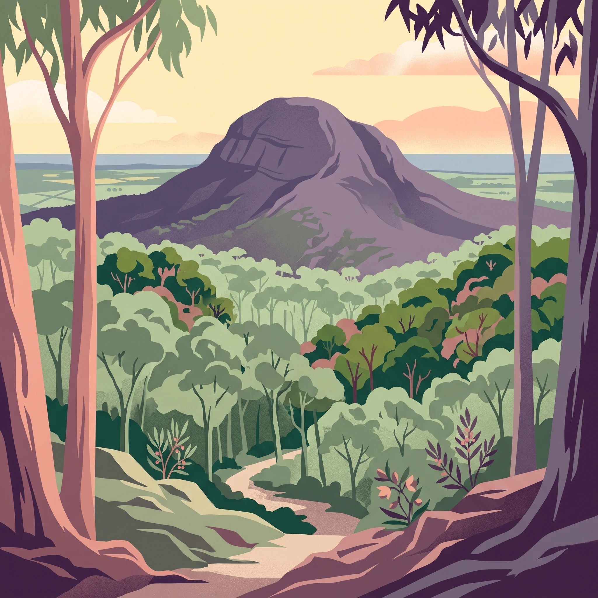
Mount Imlay National Park occupies a striking position in the far southeast of New South Wales, rising prominently above the surrounding coastal plains near the town of Eden. The park is accessed from the Princes Highway, which passes south of Eden, making it a accessible destination for visitors exploring the far south coast region. The landscape is dominated by the mountain itself, a steep-sided peak that rises sharply from the surrounding terrain to an elevation of 886 metres, providing panoramic views across the Bega Valley and toward the Tasman Sea. The park's establishment in 1972 recognized both the natural values of the area and its significance as a landscape of cultural importance to the Bidwell and Yuin peoples, whose traditional connections to Balawan extend deep into the past.

Quick facts and research context for Mount Imlay National Park

Mount Imlay National Park is located in the far southeastern corner of New South Wales, close to the Victorian border. The park was formally established on 21 July 1972 and is managed by the NSW National Parks and Wildlife Service. The dominant vegetation is eucalyptus forest, though the park also contains a rare 2-hectare rainforest remnant in a fire-free gully featuring Black Olive Berry trees. The mountain's summit and upper slopes support distinctive flora including the Imlay Mallee and Imlay Boronia, both rare plant species found nowhere else. The park is notable for populations of common wombats and superb lyrebirds.

Park context

Deeper park guide and search-rich context for Mount Imlay National Park

Mount Imlay National Park history, landscape, wildlife, and travel context
Explore Mount Imlay National Park through its history, landscape character, ecosystems, wildlife, conservation priorities, cultural context, and seasonal travel timing in a structured park guide built for atlas discovery and search intent.

Why Mount Imlay National Park stands out

Mount Imlay National Park is best known for its combination of geological complexity, rare plant species, and Aboriginal cultural significance. The mountain's summit and upper slopes contain Devonian-era rock formations that are geologically distinct from the older Ordovician bedrock underlying most of the park, creating a unique geological environment. The park supports two endemic plant species, Imlay Mallee and Imlay Boronia, found only in this area. The presence of a small but significant rainforest remnant in an otherwise dry forest landscape demonstrates the ecological complexity of the site. Balawan, the Aboriginal name for the mountain, reflects its enduring importance to local Indigenous communities.

Mount Imlay National Park history and protected-area timeline

The area that now comprises Mount Imlay National Park was named after the Imlay brothers, early European pioneers who established themselves in the district during the nineteenth century. George Imlay and his family were among the first colonial settlers to take up land in the far south coast region, and the family's name became attached to the prominent mountain that dominates the landscape. The park was formally declared as a national park on 21 July 1972, joining the growing network of protected areas in New South Wales. The establishment of the park protected the mountain's unique geological features, its rare plant species, and the cultural landscape that had been important to Indigenous peoples for generations.

Mount Imlay National Park landscape and geographic character

The physical landscape of Mount Imlay National Park is defined by the mountain itself, a dramatic peak that rises abruptly from the coastal lowlands of far southeastern NSW. The park's terrain is steep and rugged, particularly on the upper slopes and around the summit. Geologically, the park presents a layered story of ancient earth history: most of the area is underlain by Ordovician sedimentary and metamorphic rocks, approximately 500 to 435 million years old, which form part of the Mallacoota Beds of the Southern Highlands Fold Belt. These ancient rocks include greywacke, sandstone and shale. The summit of Mount Imlay and its upper slopes are younger, formed during the Devonian Period roughly 395 to 345 million years ago, when the Merimbula Group rocks including sandstone, conglomerates, quartzite, siltstone and shale were deposited. Narrow river flats along the Towamba River on the northern edge of the park contain more recent Quaternary sediments.

Mount Imlay National Park ecosystems, habitats, and plant life

The ecological character of Mount Imlay National Park reflects its position at the interface between coastal and highland environments in southeastern Australia. The dominant vegetation is eucalyptus forest, with various eucalypt species forming the primary canopy across most of the park. However, the park contains a notable ecological anomaly: a 2-hectare remnant of temperate rainforest surviving in a fire-free gully within the broader eucalypt forest landscape. This rainforest patch is dominated by Black Olive Berry trees and represents a relict community that survived in this sheltered location while fire-adapted eucalypt forest expanded across the surrounding landscape. Near the mountain's summit, the vegetation changes to include more open communities supporting the rare Imlay Mallee and Imlay Boronia, endemic species that occur only in this specific location.

Mount Imlay National Park wildlife and species highlights

Mount Imlay National Park supports healthy populations of several notable Australian wildlife species. The park contains large populations of common wombats, which are a familiar sight in the park's forests and grassy areas, particularly at dawn and dusk when they are most active. The superb lyrebird, one of Australia's most distinctive ground-dwelling birds, is also present in significant numbers throughout the park. These birds are known for their remarkable ability to mimic the calls of other birds and mechanical sounds, and they can often be heard and seen foraging in the leaf litter beneath the eucalypt canopy. The combination of eucalypt forest, rainforest remnants, and the mountain's varied topography creates diverse habitats that support this wildlife community.

Mount Imlay National Park conservation status and protection priorities

Mount Imlay National Park represents an important conservation outcome in southeastern New South Wales, protecting both geological and biological values of significance. The park's conservation importance is underscored by the presence of two endemic plant species, Imlay Mallee and Imlay Boronia, which are found nowhere else in the world. These species depend on the specific conditions of the mountain's summit and upper slopes, and their protection is a key reason for the park's existence. The small rainforest remnant, though only 2 hectares in area, represents a significant conservation value as a relict community that demonstrates the historical vegetation patterns of the region before fire regimes altered the landscape. The protection of the mountain as a national park also preserves the cultural landscape of Balawan for the Bidwell and Yuin peoples.

Mount Imlay National Park cultural meaning and human context

Mount Imlay holds profound significance for the Bidwell and Yuin peoples, Aboriginal communities whose traditional country includes the far south coast of New South Wales. The mountain is known as Balawan in the languages of these peoples, and it has been important for cultural and spiritual teachings for generations. The mountain's prominent position in the landscape made it a significant landmark for Aboriginal people historically, and this cultural importance continues today. The recognition of Balawan in the management of the park reflects the ongoing connection between Indigenous communities and this landscape, though specific details of traditional practices or heritage values would be best confirmed through consultation with the relevant Aboriginal communities and cultural authorities.

Top sights and standout views in Mount Imlay National Park

Mount Imlay National Park offers visitors the opportunity to experience a mountain landscape of geological and ecological significance in far southeastern NSW. The walking trail to the summit provides access to panoramic views across the coastal plains and the Tasman Sea. The park's rare plant species, including the Imlay Mallee and Imlay Boronia, represent botanical treasures that occur nowhere else on Earth. The combination of eucalypt forest, ancient Ordovician and Devonian bedrock, and a relict rainforest gully demonstrates the ecological complexity that can be found in this corner of Australia. Visitors may encounter common wombats and superb lyrebirds, the latter being famous for its extraordinary mimetic abilities.

Best time to visit Mount Imlay National Park

The park can be visited throughout the year, though autumn and spring typically offer the most comfortable conditions for walking and wildlife observation. Winter months can be cold and wet at the higher elevations, while summer may be hot and dry. The superb lyrebirds are often most active and visible during the cooler months when they spend more time foraging in the open. Autumn typically provides good visibility for summit views, and the rainforest gully offers interest in all seasons. Visitors should check current conditions with the NSW National Parks and Wildlife Service before planning their visit.
Park location guide

Geography guide, regional context, and park location map for Mount Imlay National Park

Mount Imlay National Park park geography, regions, and map view in Australia
Understand where Mount Imlay National Park sits in Australia through a broader geographic reading of the surrounding landscape, nearby location context, and its mapped position within the national park landscape.

How Mount Imlay National Park fits into Australia

Australia is a constitutional monarchy and federal parliamentary democracy comprising six states and ten territories. With a population of nearly 28 million, it is one of the world's most urbanised countries, with most people concentrated on the eastern seaboard. The country has a high Human Development Index and is known for its cultural diversity, ancient Aboriginal heritage, and unique wildlife.

Wider geography shaping Mount Imlay National Park in Australia

Australia occupies the entire Australian continent, the island of Tasmania, and numerous smaller islands. It is the world's flattest and driest inhabited continent, featuring vast deserts in the interior (the Outback), tropical rainforests along the eastern coast, and a coastline bordering the Indian and Pacific Oceans.

Map view of Mount Imlay National Park

Use this park location map to pinpoint Mount Imlay National Park in Australia, understand its exact geographic position, and read its mapped placement within the surrounding landscape more clearly.

Pigeon | © OpenStreetMap contributors

Location context for Mount Imlay National Park

New South Wales
Park atlas

Explore connected protected landscapes and national parks near Mount Imlay, tracing the regional geography of coastal New South Wales.

Explore Parks Near Mount Imlay National Park: Discover Other Protected Areas in Southeastern New South Wales
After exploring Mount Imlay National Park's unique geological heritage and endemic flora, continue browsing other national parks and protected areas across southeastern New South Wales. Compare nearby mountain parks, eucalypt forests, and coastal protected landscapes to understand the regional spread of conservation efforts and diverse terrain.
National parkNew South Wales

Beowa National Park: Protected Landscape and Coastal Geography in New South Wales

Mapped terrain and unique erosion sites within this national park.

Delve into the protected landscape of Beowa National Park, situated in the coastal region of New South Wales. This national park showcases a varied terrain, from heathland headlands to eucalypt woodlands, with the visually dramatic Pinnacles erosion gully as a key highlight. Its geographic setting within Twofold Bay provides a compelling focus for atlas exploration of Australia's protected natural areas.

Area
104.86 km²
Established
1971
IUCN
II
Relief
Lowland
National parkNew South Wales

South East Forests National Park: New South Wales National Park Atlas Entry

Mapped landscape and protected area geography.

This canonical MoriAtlas entry for South East Forests National Park provides essential geographic context and details about its status as a national park. Understand the mapped boundaries of this protected landscape within New South Wales, supporting discovery through its regional setting and natural terrain. The focus remains on atlas-style exploration of its geographic identity and conservation significance, devoid of visitor logistics or travel advice.

Area
1,151.77 km²
Established
1997
IUCN
II
Relief
Highland
Marine protected area

Cape Howe Marine National Park: Victoria's Southeastern Marine Protected Landscape

Rugged coast, Southern Ocean influence, and marine conservation.

Cape Howe Marine National Park offers a protected marine environment at the remote eastern edge of Victoria, Australia. Defined by its dramatic coastal geography, the park features rocky headlands, exposed cliffs, and waters influenced by the powerful Southern Ocean. Established in 2002, this marine protected area contributes to a significant continuum of protected lands, adjacent to terrestrial national parks. Its landscape is shaped by powerful surf and coastal wilderness, providing a unique example of marine conservation where the Australian continent meets the open ocean.

Area
40.5 km²
Established
2002
IUCN
II
Climate
Temperate
National park

Coopracambra National Park: Remote Mountainous Protected Landscape in Victoria

Explore its transboundary wilderness role and tall forest terrain.

Coopracambra National Park stands as a significant protected landscape in Victoria, Australia, renowned for its rugged mountainous terrain and extensive tall eucalypt forests. This remote national park serves as the crucial Victorian component of a vast transboundary wilderness corridor, linking protected areas across the state border into New South Wales. Its geographic identity is shaped by prominent peaks such as Mount Coopracambra and the unique Black-Allan Line boundary, offering users a detailed atlas view of its conservation significance and natural features within south-eastern Australia.

Area
388 km²
Established
1988
IUCN
II
Relief
Mountain
National park

Alfred National Park: Southernmost Warm Temperate Rainforest Atlas and Protected Landscape

Explore a unique biogeographic boundary and diverse rainforest ecosystem.

Alfred National Park stands as a vital protected area, renowned for harboring Australia's southernmost warm temperate rainforest. Located in Victoria's East Gippsland region, this national park is a significant ecological meeting point, where plant communities from subtropical, temperate, and arid zones converge. The park's mapped landscape features a dense, jungle-like environment dominated by Lilly Pilly, tree ferns, and epiphytes, offering a distinct contrast to the typical eucalyptus woodlands of the area and highlighting its unique floristic character.

Area
30.5 km²
Established
1925
IUCN
II
Climate
Temperate
National parkNew South Wales

Mimosa Rocks National Park: Coastal Protected Area Atlas and Geographic Discovery

New South Wales National Park with Mapped Coastal Terrain

Mimosa Rocks National Park offers a compelling glimpse into Australia's protected coastal geography. This national park showcases a dynamic landscape where rocky outcrops and sweeping beaches define the Sapphire Coastline within New South Wales. Engage with its mapped boundaries and understand its role as a vital part of the regional protected area network, perfect for detailed atlas exploration and appreciating natural landscape context.

Area
57 km²
Established
1973
IUCN
II
Relief
Lowland
National parkAustralia

Errinundra National Park: Australia's National Park Geographic Identity and Mapped Boundaries

Explore the protected landscape and natural terrain of this Australian national park.

Errinundra National Park offers a unique window into Australia's protected natural areas. This detailed view focuses on its role as a national park, providing structured information on its geographic footprint, mapped terrain, and position within the broader Australian landscape. Understand Errinundra National Park as a distinct entity for atlas-based discovery, focusing on its protected land characteristics and geographic context without visitor logistics.

Area
268.75 km²
Established
1988
IUCN
II
Relief
Upland
Watercolor illustration showing a coastal landscape with green hills, blue water, and distant mountains
National parkNew South Wales

Bournda National Park: A Protected National Park in New South Wales

Explore mapped boundaries and regional geographic context.

Bournda National Park represents a key protected area within the state of New South Wales, Australia. This page offers focused discovery of its protected landscape identity, situated within the broader geographic framework of the region. Examine the park's mapped boundaries and understand its significance as a component of Australia's network of natural landscapes.

Area
26.55 km²
Established
1947
IUCN
II
Relief
Lowland

Common questions about visiting, size, designation, and location context for Mount Imlay National Park

Mount Imlay National Park FAQs for park facts, access, geography, and protected area context
Find quick answers about Mount Imlay National Park, including protected-area facts, park geography, trail and visitor context, and how the park fits into its surrounding country and regional landscape.
MoriAtlas Explorer

Continue Your Protected Areas Search Across the Global Atlas

Deepen your exploration by continuing the structured search for national parks and protected areas worldwide. Utilize the comprehensive filtering capabilities to compare different conservation landscapes and refine your understanding of global park geography. Discover more about the distribution and characteristics of protected natural areas.

Global natural geography