Mori Atlas logo
Nearby park discovery

Map and explore natural landscapes situated near this Arizona wilderness reserve

Regional Protected Areas and Geographic Surroundings of Pusch Ridge Wilderness

Examine the geographic distribution of protected lands and wilderness areas in proximity to Pusch Ridge Wilderness. This atlas view highlights regional park boundaries, supporting a clearer understanding of how these protected spaces align across the Santa Catalina Mountains and the broader Sonoran Desert landscape context.

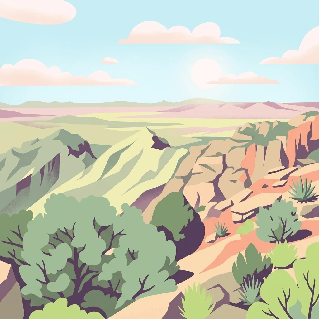
A flat-style digital illustration of a desert mountain landscape with rocky slopes; sparse desert vegetation; and a distant horizon under a pale blue sky.

Sky Island wilderness above Tucson, protecting desert bighorn sheep habitat along the eastern Santa Catalina Mountains.

Pusch Ridge Wilderness

Pusch Ridge Wilderness is a protected wilderness area covering roughly 56,000 acres within the Coronado National Forest, north of Tucson in southern Arizona. It occupies the eastern end of the Santa Catalina Mountains, also known as the Santa Catalinas, a dramatic Sky Island range that rises abruptly from the surrounding Sonoran Desert. The area was initially established in 1978 to safeguard one of Arizona's last remaining populations of Desert Bighorn Sheep, a species that has struggled as residential and commercial development has spread around the base of the range. Reintroduction efforts in 2013 marked a major milestone in restoring bighorn presence on Pusch Ridge after decades of near absence. Beyond its wildlife importance, the wilderness spans an extraordinary ecological gradient, descending from high fir and aspen forests on the summit ridges down through pinyon-juniper woodlands, mountain mahogany stands, and saguaro-studded desert lowlands. This dramatic vertical range, combined with a complex geology of Catalina granite and gneiss, gives Pusch Ridge Wilderness a rare concentration of biodiversity in a relatively compact area.

Location
United States of America
Park type
Wildlife reserve
Established
1978
Area
228.4 km²
Highest point
2,774 m
Pusch Ridge Wilderness Wildlife Reserve Geography
Regional park map

See the ranked park cluster in its geographic setting

Nearby parks around Pusch Ridge Wilderness

This regional map shows the same 20 nearby parks ranked below around Pusch Ridge Wilderness. Select a ranked marker to highlight that park’s boundary where boundary data is available.
Reference park: Pusch Ridge WildernessRanked nearby park20 nearby parks shown
20 nearby parks

Geographic proximity and environmental comparisons across surrounding protected landscapes

Ranked Nearby Protected Areas and Regional Geography Surrounding Pusch Ridge Wilderness

Examine the ranked collection of nearby protected areas surrounding Pusch Ridge Wilderness using measured geographic separation and directional context. Evaluating these surrounding environments provides structured signals for comparing regional park geography and protected landscape patterns.
National parkPima County
About 17 km away#1 closest

South

Saguaro National Park: Discover Its Protected Landscape Geography and Mapped Boundaries

Explore the natural terrain and regional context of this national park.

Saguaro National Park offers a focused exploration of a specific protected landscape, highlighting its unique geographic features and mapped boundaries within Pima County. This detail page provides an atlas perspective, allowing for a deep dive into the park's natural terrain and its regional significance. Understand the protected area's identity and its place within the wider geographical context.

Area
371.16 km²
Established
1994
IUCN
II
Visitors
946.4K annual
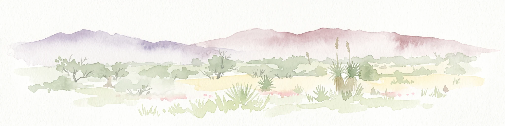
A horizontal watercolor painting depicting a desert landscape with mountains in the distance, soft green and yellow foreground vegetation, and several yucca plants.
Protected landscapeUnited States of America
About 36 km away#2 closest

Southeast

Rincon Mountain Wilderness: Geographic Atlas and Protected Landscape Overview

Sky island ecosystems and mountainous desert terrain in Arizona

This protected landscape encompasses the core of the Rincon Mountains, defining a classic triangular range oriented southwest to northeast. The wilderness serves as a vital ecological bridge, rising from arid Sonoran lowlands to cool, high-elevation montane forests. Its boundaries protect an intricate system of ridges and canyons that support isolated relict plant communities, offering a distinct study in regional desert mountain geography.

Relief
Mountain
Access
Moderate access
Scope
Terrestrial
Water
Minor water
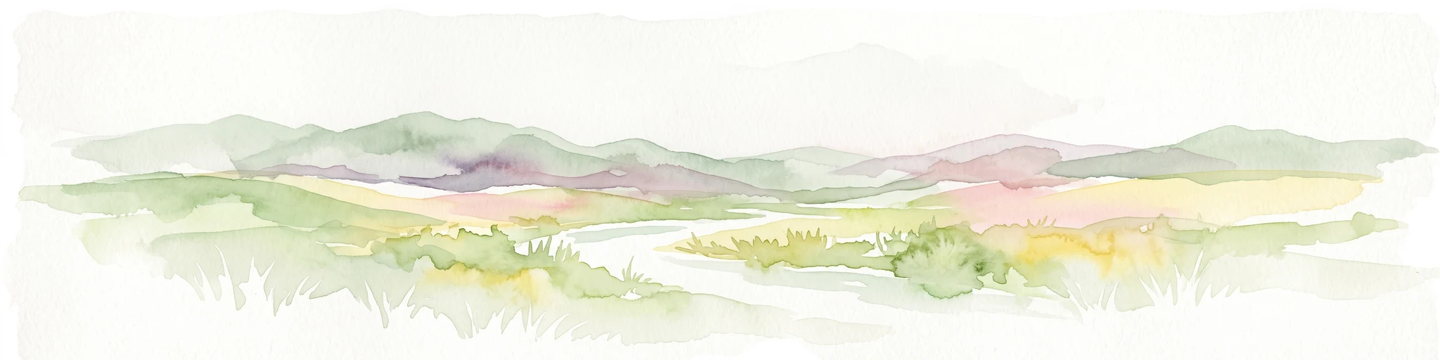
A soft watercolor painting of a wide, rolling mountain landscape with muted greens, yellows, and purples.
Wildlife reserveArizona
About 44 km away#3 closest

Northeast

Galiuro Wilderness: A Protected Mountain Landscape in Southeastern Arizona

Mapped geography and terrain of the Galiuro range

Trace the uplifted slabs and eroded canyons that define Galiuro Wilderness. This protected area rises from the Arizona plains to reveal a complex geography of brushy slopes, spring-fed riparian zones, and sky-high summit vistas.

Area
309 km²
Established
1932
IUCN
Ib
Relief
Mountain
Wildlife reserveArizona
About 89 km away#4 closest

North

Needle's Eye Wilderness: Protected Desert Geography and Mescal Mountain Topography

Gila River canyons and limestone desert landscapes in Arizona

Needle's Eye Wilderness encompasses a rugged segment of the Mescal Mountains where the Gila River has incised deep limestone gorges. This protected area features a striking shift between harsh arid uplands and a dense riparian corridor, offering a study in concentrated desert canyon topography and dramatic geological formations within southern Arizona.

Area
35.5 km²
Established
1990
IUCN
Ib
Relief
Mountain
Protected landscapeArizona
About 94 km away#5 closest

North

Tonto National Forest: Understanding the Geography of an Expansive Protected Landscape

Exploring the vertical ecosystem gradients in Central Arizona

Spanning from arid Sonoran basins to the towering Mogollon Rim, Tonto National Forest offers a unique study in vertical geography and protected land management. This expansive territory provides a vital map of Southwest life zones, encompassing reservoir systems, rugged river canyons, and critical wilderness habitat that define the environmental identity of the region.

Area
11,627 km²
Established
1905
Visitors
5.9M annual
Relief
Mountain
Wildlife reserveArizona
About 123 km away#6 closest

Northeast

Fishhooks Wilderness: An Arizona Desert Wildlife Reserve and Protected Landscape Atlas

Mapped terrain and arid geography in Graham County

Fishhooks Wilderness represents an intact, undeveloped stretch of southeastern Arizona desert managed by the Bureau of Land Management. The area provides a critical example of basin-and-range topography, where volcanic ridges and desert flats border the San Carlos Apache Indian Reservation. This record offers a clear perspective on the wilderness boundaries, ecological transition zones, and remote backcountry character of this distinctive regional landscape.

Area
42 km²
IUCN
Ib
Relief
Upland
Climate
Arid
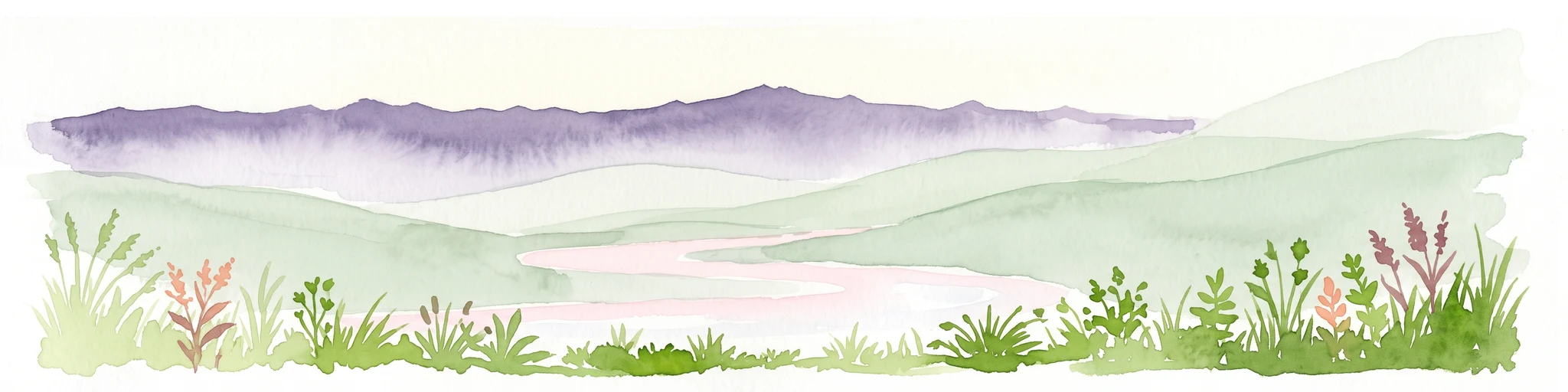
A horizontal watercolor painting showing distant mountains in shades of purple, soft green rolling hills, a central winding river or stream, and grassy foreground elements on a white background.
Protected landscapeNew Mexico
About 178 km away#7 closest

Northeast

Gila National Forest: A Geographic Overview of New Mexico's Protected Wilderness Core

Mapped terrain, forest boundaries, and regional wilderness character

Gila National Forest stands as a critical protected landscape in New Mexico, encompassing immense mountain ranges, narrow river gorges, and extensive backcountry basins. This atlas entry details the forest's topographic transition from high-altitude ponderosa stands to desert lowlands, highlighting its status as the foundational site for the global wilderness movement and a stronghold for regional ecological diversity.

Area
10,969.7 km²
Established
1905
Relief
Mountain
Climate
Temperate
Wildlife reserveArizona
About 182 km away#8 closest

North

Mazatzal Wilderness: Geographic Overview of Arizona's Expansive Protected Mountain Terrain

Mapping the ecological transition from desert canyon to forest ridge

Mazatzal Wilderness stands as an essential protected area in central Arizona, covering vast tracts of the Tonto and Coconino National Forests. The landscape is defined by the stark vertical contrast between the low-lying Verde River corridor and the high-elevation forests of the Mazatzal Mountains. This expansive wilderness remains a key study in regional topography and ecological zonation for those exploring the rugged backcountry of the southwestern United States.

Area
1,021.4 km²
Established
1964
IUCN
Ib
Relief
Mountain
A horizontal watercolor illustration showing green foreground vegetation, rolling light green hills in the midground, and purple hazy mountains in the background against a white sky.
Wildlife reserveNew Mexico
About 212 km away#9 closest

Northeast

Gila Wilderness: An In-Depth Look at the Protected Landscape and Geography of New Mexico

Mapped terrain, alpine peaks, and diverse forest ecosystems within the American Southwest

The Gila Wilderness stands as a primary case study in landscape conservation, protecting a massive network of unroaded river canyons and forest-covered mountains in New Mexico. This region serves as a bridge between temperate montane zones and arid desert environments, creating a unique ecological atlas defined by significant altitudinal gradients, volcanic features, and extensive watershed networks across the Mogollon range.

Area
225,820 km²
Established
1924
IUCN
Ib
Relief
Mountain
Wildlife reserveSonora
About 223 km away#10 closest

Southeast

Bavispe Flora and Fauna Protection Area: Sierra Madre Occidental Mountain Geography

Mapped protected forest tracts across Sonora ranges

Spanning five distinct mountain tracts in Sonora, this wildlife reserve preserves rare pine-oak forest communities within the Sierra Madre Occidental. Learn how these ridges and basins act as a vital hydrological anchor for the Yaqui River and provide critical corridors for wildlife through the diverse, transition-heavy terrain of northern Mexico.

Area
2,009 km²
Established
1936
IUCN
VI
Relief
Mountain
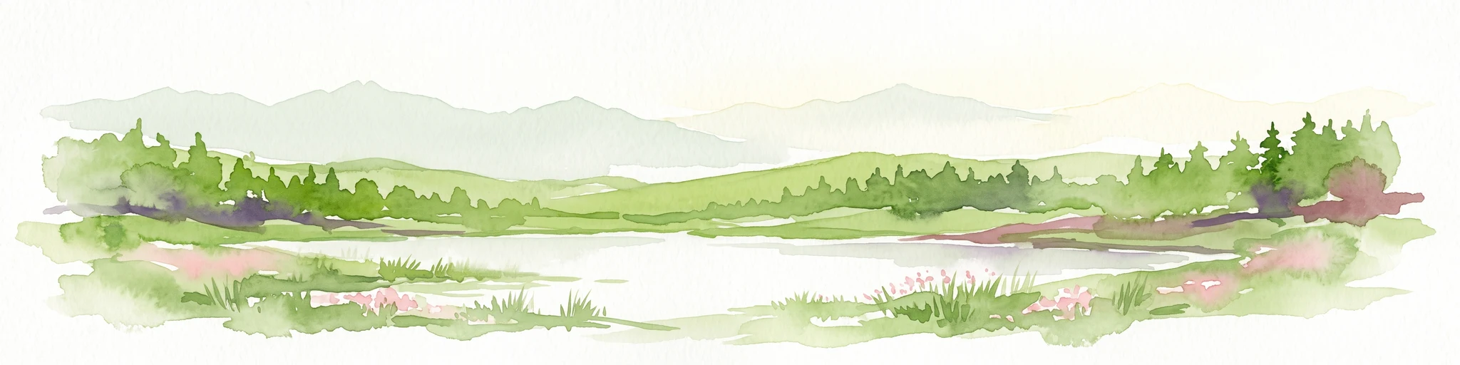
Watercolor painting of a calm lake surrounded by green forests and distant mountain ridges.
Protected areaArizona
About 230 km away#11 closest

Northwest

Prescott National Forest: Geographic Overview of Arizona Protected Landscapes and Wilderness

Regional geography and protected terrain map of the Bradshaw Mountains

Spanning over one million acres, Prescott National Forest represents a defining outdoor landscape in Arizona. The terrain transitions from high desert chaparral to dense ponderosa pine forests, featuring eight distinct wilderness areas, rugged canyon systems, and essential watershed corridors that shape the regional ecology near Prescott.

Area
5,100 km²
Established
1908
Relief
Mountain
Climate
Temperate
Watercolor painting of a desert scene with rolling hills in the background and saguaro cacti in the foreground.
Wildlife reserveMaricopa County
About 248 km away#12 closest

Northwest

Hummingbird Springs Wilderness: A Protected Sonoran Desert Landscape in Maricopa County

Rugged mountain terrain and desert wash networks

Spanning more than 31,000 acres, Hummingbird Springs Wilderness serves as a core protected area in the Sonoran Desert. The geography encompasses the Belmont Mountains, providing a stark contrast of arid peaks and sandy basins that extend through western Maricopa County. This roadless wilderness represents an essential connection between adjacent protected lands, maintaining a vast and isolated desert environment shaped by centuries of geological forces.

Area
126.26 km²
Established
1990
IUCN
Ib
Relief
Mountain
A soft watercolor illustration depicting a panoramic desert landscape with prominent rugged purple mountains in the background, rolling green hills in the midground, and saguaro cacti in the foreground.
Wildlife reserveArizona
About 251 km away#13 closest

Northwest

Eagletail Mountains Wilderness: Mapping Arizona Sonoran Desert Protected Areas

Remote ridgelines and desert basin geography in central Arizona.

Analyze the desert mountain terrain of the Eagletail Mountains Wilderness. This protected area features jagged rocky peaks, open desert plains, and a unique position near the Bouse Wash headwaters, making it a key study for Arizona desert geography and arid-land preservation.

Area
407 km²
IUCN
Ib
Relief
Mountain
Climate
Arid
A horizontal watercolor illustration depicting a desert landscape with distant purple mountain peaks, rolling green hills, and a winding path, rendered in soft, light colors.
Wildlife reserveArizona
About 278 km away#14 closest

North

Munds Mountain Wilderness Protected Area and Red Rock Landscape Mapping

Arizona high-desert wilderness and canyon-edge geography

Located southeast of Sedona, Munds Mountain Wilderness encompasses roughly 18,150 acres of dramatic sandstone cliffs and elevated plateaus. This area serves as a key site for observing the convergence of pinyon-juniper woodlands with iconic desert rock formations, providing a clear window into the rugged topography of central Arizona.

Area
73.45 km²
Established
1984
IUCN
Ib
Relief
Mountain
National parkNavajo County
About 282 km away#15 closest

North

Petrified Forest National Park: National Park Protected Landscape and Geographic Atlas

Explore its mapped terrain and regional park context.

Petrified Forest National Park represents a significant protected landscape within Navajo County, Arizona, offering focused insights into its unique terrain and geographic distribution. As a national park, it provides valuable data for understanding mapped park boundaries, regional landscape context, and its role within the broader atlas of protected areas. Discover the specific geographic features and natural identity that define this unique natural reserve.

Area
895.94 km²
Established
1962
IUCN
II
Visitors
644.9K annual
A watercolor painting showing a winding river flowing through a forested valley with gentle hills in the background.
Wildlife reserveArizona
About 293 km away#16 closest

North

Red Rock-Secret Mountain Wilderness: A Geographic Overview of Arizona Protected Lands

Canyon landscapes and high mesa terrain in Arizona

Red Rock-Secret Mountain Wilderness serves as a significant protected block near Sedona, featuring a complex network of slot canyons, natural arches, and sandstone pinnacles. This wilderness area preserves the ecological transition from the high-elevation forested rim down into warmer, arid canyon bottoms, offering a deep look at the geology of the Colorado Plateau edge.

Area
191 km²
Established
1984
IUCN
Ib
Relief
Mountain
A horizontal watercolor illustration showing a calm lake in the foreground, surrounded by grassy banks, evergreen trees, and rolling mountains in the distance under a pale sky.
Protected landscapeArizona
About 312 km away#17 closest

North

Kaibab National Forest: Protected Plateau Landscapes and Forested Geography in Arizona

High-elevation forest terrain bordering the Grand Canyon

Spanning over 1.6 million acres in Arizona, Kaibab National Forest is characterized by its split geographic configuration, with distinct sections flanking the North and South rims of the Grand Canyon. The terrain ranges from the high-altitude Kaibab Plateau to volcanic uplands near Williams, encompassing four designated wilderness areas and varied forest ecosystems that provide a critical buffer for the surrounding canyon country.

Area
6,500 km²
Established
1909
Relief
Mountain
Climate
Temperate
A horizontal watercolor illustration showing rolling green hills and a treeline against a pale sky.
Wildlife reserveArizona
About 333 km away#18 closest

North

Kachina Peaks Wilderness; Geography and Protected Landscape Atlas of Arizona

High-altitude volcanic terrain and alpine ecosystems

Kachina Peaks Wilderness is a protected area in northern Arizona centered on the San Francisco Peaks. This geography includes the state's highest elevation at Humphreys Peak and a rare volcanic caldera known as the Inner Basin. The terrain transitions from dense mountain forests into an Arctic-Alpine zone, offering a distinct landscape for analyzing mountain evolution and high-elevation ecological patterns.

Area
75 km²
Established
1984
IUCN
Ib
Relief
Mountain
Wildlife reserveChihuahua
About 346 km away#19 closest

Southeast

Campo Verde Flora and Fauna Protection Area: Atlas and Landscape Discovery in Chihuahua

A significant wildlife reserve in the Sierra Madre Occidental

Spanning the transition from high montane forests to semi arid desert, Campo Verde Flora and Fauna Protection Area represents a core component of Mexico's northern conservation network. Documented for its endemic flora and fauna, this wildlife reserve provides a rare look at the ecological mosaic of the Sierra Madre Occidental region.

Area
1,080.67 km²
Established
1938
IUCN
VI
Relief
Mountain
Wildlife reserveYavapai County
About 348 km away#20 closest

Northwest

Juniper Mesa Wilderness: Geological Landscape and Protected Area Mapping

Essential protected land data in Yavapai County

Juniper Mesa Wilderness protects a rare sedimentary mesa capped by Tapeats sandstone, rising above a vast granite landscape in Yavapai County. This geographic survey highlights the canyon-cut topography and the shifting vegetation zones that characterize the Transition Zone ecology within the Prescott National Forest.

Area
29.97 km²
Established
1984
IUCN
Ib
Relief
Mountain
Distance methodology

Geographic measurements, not driving distances

How nearby park distances are calculated

Distances use park boundaries whenever the available geometry allows it. When one or both boundaries are missing, the mapped park locations provide a clearly labelled estimate. Every value represents straight-line geographic separation and does not use roads or routing.

Boundary distance

Calculated between the nearest points of both park boundaries.

Location-to-boundary estimate

Estimated from one mapped park location to the nearest boundary of the other park.

Mapped-location estimate

Estimated between the mapped locations of both parks.

MoriAtlas Explorer

Explore the Geographic Boundaries and Terrain of Pusch Ridge Wilderness

Investigate the rugged canyons, granite formations, and ecological transitions that define the Pusch Ridge Wilderness. MoriAtlas provides a structured look at the mapped boundaries and natural features of this essential southern Arizona wildlife reserve, connecting the desert lowlands to the high-country mountain summits.