Mori Atlas logo
Nearby park discovery

Mapping the geographic landscape of peatlands and protected sites in Finistère

Protected Areas and Regional Park Geography Near Réserve naturelle nationale du Venec

Discover the network of protected areas surrounding the Réserve naturelle nationale du Venec within the Monts d'Arrée. This geographic overview visualizes the proximity of nearby reserves and mapped landscapes, illustrating the broader regional context of these peatland environments. Use the map to analyze how this raised bog fits into the distribution of protected terrain across the Finistère department.

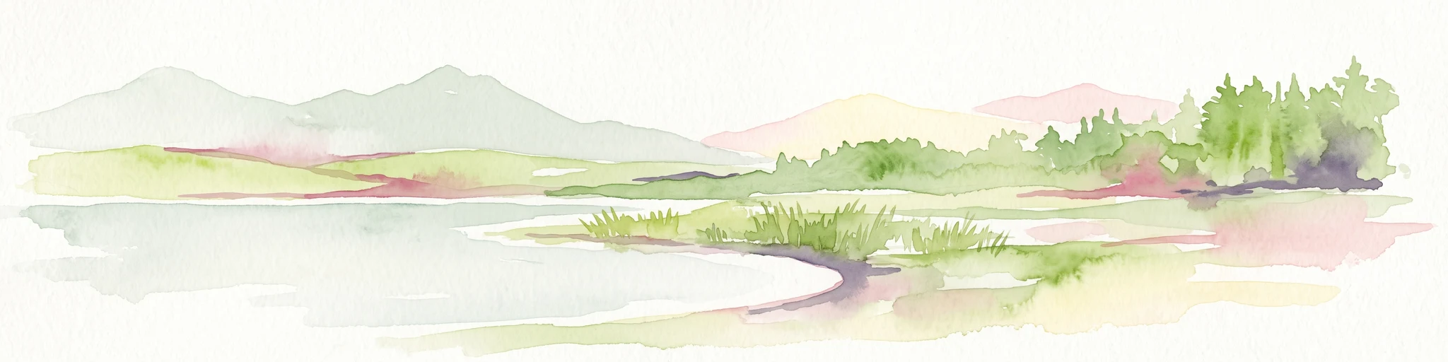
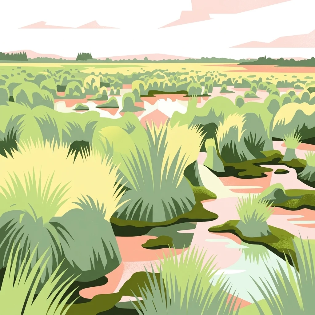
A stylized digital illustration of a wet peat bog landscape featuring clusters of tall grasses, marshy pools, and a soft horizon line under a pale sky.

Bretagne's last great raised sphagnum bog, preserved in the heart of the Monts d'Arrée

Réserve naturelle nationale du Venec

The Réserve naturelle nationale du Venec is a French national nature reserve located in central Brittany, within the commune of Brennilis in the Finistère department. Set in the heart of the Monts d'Arrée, it protects one of the most significant peatland landscapes in western France, known locally as the Yeun-Elez, a hollow of mires and bogs surrounded by low granite hills. The reserve's principal feature is a large, still-active raised sphagnum bog, structured as a classic concentric mire with wet heaths, willow scrub, acidic marshy lagg, and an ombrotrophic dome sitting on acidic granite bedrock. Beyond its scenic and ecological value, the Venec bog is recognized as an important natural carbon sink and hosts many rare or declining species tightly tied to peatland habitats. Created by decree in 1993 and substantially extended in 2023, the reserve has been managed since 1994 by the regional conservation association Bretagne Vivante. It forms part of the Natura 2000 network and France's national green-and-blue ecological corridor, and is regarded as the single best remaining example of an active raised bog in all of Brittany.

Location
France
Park type
Nature reserve
Established
1993
Area
3.3 km²
Réserve naturelle nationale du Venec Park Atlas
Regional park map

See the ranked park cluster in its geographic setting

Nearby parks around Réserve naturelle nationale du Venec

This regional map shows the same 20 nearby parks ranked below around Réserve naturelle nationale du Venec. Select a ranked marker to highlight that park’s boundary where boundary data is available.
Reference park: Réserve naturelle nationale du VenecRanked nearby park20 nearby parks shown
20 nearby parks

Distance-ranked collection and regional park geography for comparative environmental analysis

Parks and Protected Areas Geographically Near Réserve naturelle nationale du Venec

Spatial proximity measurements organize surrounding protected areas by geographic separation and directional context relative to Réserve naturelle nationale du Venec. Comparing recorded environmental characteristics across neighboring reserves reveals broader regional landscape patterns without implying shared habitats.
Nature reserveFinistère
About 7.5 km away#1 closest

South

Vallée de l'Aulne Nature Reserve: A Detailed Mapping of Finistère River Valley Geography

Protected riparian landscapes, watershed ecology, and regional basin boundaries

The Vallée de l'Aulne serves as a central artery for the natural landscapes of western France. Spanning from inland Brittany toward the Atlantic, this protected reserve encompasses riverine corridors, bocage terrain, and tidal estuary zones. Use this detailed profile to examine the geographic distribution of protected habitats, river basin features, and the integrated environmental protections that define this key Finistère landscape.

Area
35.64 km²
Established
2014
Relief
Lowland
Climate
Temperate
A horizontal watercolor illustration of a soft green landscape with rolling hills, patches of grass, and distant tree lines against a white background.
Nature reserveBretagne
About 11 km away#2 closest

Northeast

Réserve naturelle régionale des landes et tourbières du Cragou et du Vergam: Regional Park Geography

Protected granite ridges and Atlantic peatland ecosystems in Finistère

The Réserve naturelle régionale des landes et tourbières du Cragou et du Vergam stands as a critical reference for understanding Breton upland ecology. Spanning the Monts d'Arrée, these protected sites provide a distinct map of wet heath, acidic flushes, and diverse botanical habitats that define the inland character of northwestern France.

Area
3.434 km²
Established
2008
IUCN
IV
Relief
Upland
Nature reserveBretagne
About 34 km away#3 closest

Northeast

Réserve naturelle régionale des landes, prairies et étangs de Plounérin: Protected Habitat Atlas

Inland Bretagne landscape mosaic and regional nature reserve mapping

This protected area in the heart of Brittany serves as a vital refuge for heathland, meadows, and ponds. Examine the site's mapped boundaries and understand its role as an IUCN Category IV conservation landscape within the broader geography of the Côtes-d'Armor department.

Area
1.607 km²
Established
2016
IUCN
IV
A watercolor painting showing a soft, stylized landscape of green hills, marshy fields, and patches of pink wildflowers or heathland against a white background.
Nature reserveBretagne
About 41 km away#4 closest

Southeast

Réserve naturelle régionale des landes et marais de Glomel: Protected Bog and Heathland Atlas

A rare inland wetland refuge within the Bretagne Montagnes Noires

Explore the geographic mosaic of the Réserve naturelle régionale des landes et marais de Glomel, a protected area in Bretagne comprising dual sites of peat bogs, wet heaths, and marshy meadows. This atlas entry details the internal terrain, including the Grazius stream network and the historic canal environment, essential for understanding the habitat distribution and conservation of this distinct inland landscape.

Area
1.078 km²
Established
2008
IUCN
IV
Relief
Upland
Watercolor painting of soft, rolling green hills and pinkish, jagged coastal cliffs on a white background.
Nature reserveBretagne
About 43 km away#5 closest

West

Réserve naturelle régionale des sites d'intérêt géologique de la presqu'île de Crozon: Protected Area and Atlas

Coastal geological heritage and maritime landscapes in the heart of Bretagne.

Spanning 27 distinct locations, the Réserve naturelle régionale des sites d'intérêt géologique de la presqu'île de Crozon documents millions of years of volcanic, tectonic, and sedimentary evolution. The reserve anchors its scientific value in its open-air exposures of Paleozoic rock, while simultaneously providing a sanctuary for specialized coastal flora and fauna along the Atlantic edge of Bretagne.

Area
1.564 km²
Established
2013
IUCN
IV
Relief
Upland
A soft, painterly watercolor illustration of a winding river flowing through green marshlands, coastal dunes, and gentle rolling hills under a bright, open sky.
Nature reserveFinistère
About 51 km away#6 closest

Northwest

Réserve naturelle régionale des marais, dunes et baies de Guissény: Protected Atlas Detail

Coastal reserve geography and maritime landscape mapping

Located in Finistère, this protected area features an intricate network of reedbeds, dune ridges, and coastal lagoons. The reserve provides a critical refuge for over 200 bird species and serves as a prime example of the land-and-sea ecological transition characteristic of the northern Breton coastline.

Area
6.083 km²
Established
2025
IUCN
IV
Relief
Lowland
A soft watercolor painting showing a green landscape with a small pond in the foreground and rolling hills in the background under a pastel sky.
Nature reserveMorbihan
About 73 km away#7 closest

Southeast

Réserve naturelle régionale des étangs du Petit et du Grand Loc'h: Wetland Landscape Atlas

Coastal protected area in Morbihan, Brittany

Located along the Atlantic coast near Guidel, this regional nature reserve protects a vital corridor of freshwater ponds, wet meadows, and reclaimed polders. The area is defined by its complex hydrology and serves as a key refuge for wintering and migratory bird populations within the Morbihan landscape, showcasing the intersection of maritime and terrestrial environments.

Area
1.18 km²
Established
2008
IUCN
IV
Relief
Lowland
A soft watercolor illustration showing a calm coastal bay with distant low hills, green shorelines, and sandy patches under a pale sky.
Nature reserveCôtes-d'Armor
About 90 km away#8 closest

East

Réserve naturelle nationale de la baie de Saint-Brieuc: Coastal Geography and Protected Terrain

Tidal mudflats and salt marshes on the North-Armorican coast.

Located in the Côtes-d'Armor department, this French nature reserve spans over 1,000 hectares of intertidal terrain. The area features a complex mosaic of sandy flats, brackish marshes, and dune systems, providing a critical study of coastal processes and tidal ecosystems along the Brittany shoreline.

Area
11.4 km²
Established
1998
IUCN
IV
Relief
Lowland
A watercolor painting showing a soft, panoramic view of a coastal wetland with small islands in the distance and grassy foreground dunes.
Regional parkBretagne
About 99 km away#9 closest

Southeast

Parc naturel régional du Golfe du Morbihan: Coastal Landscape and Marine Park Geography

Protected maritime territory and island geography in Bretagne

Covering over 80,000 hectares of combined land and marine space, Parc naturel régional du Golfe du Morbihan offers a unique view into the intersection of Atlantic coastal heritage and environmental conservation. Learn about the park's structural role in the Bretagne region through its intricate network of inlets, peninsulas, and marshland habitats that define its distinctive maritime character.

Area
642 km²
Established
2014
IUCN
V
Nature reserveBretagne
About 137 km away#10 closest

East

Réserve naturelle régionale des landes de Monteneuf: Geographic Landscape and Protected Area

Atlantic heathland mosaic and Neolithic heritage sites in Bretagne

The Réserve naturelle régionale des landes de Monteneuf serves as a vital refuge for Atlantic heathland habitats within the Bretagne region of France. Situated on thin, acidic schist soils, the area displays a textured mosaic of dry and humid moorland patches, small ponds, and prominent megalithic alignments. This protected territory offers a unique look at how historical land use maintains an open heathland ecosystem amidst a changing rural landscape.

Area
1.255 km²
Established
2013
IUCN
IV
Relief
Lowland
Nature reserveLoire-Atlantique
About 148 km away#11 closest

Southeast

Réserve naturelle régionale de l'étang du pont de fer: Protected Wetlands of Loire-Atlantique

Coastal freshwater pond, wooded buffers, and wetland connectivity.

This regional nature reserve encompasses a sizeable freshwater pond and surrounding marshes, serving as a vital link in the chain of wetlands between the Vilaine estuary and the Guérande region. Its distinctive landscape, defined by floating sedge islets and dense alder woodland, supports a high density of avifauna and rare plant species. As a key component of the protected terrain in Loire-Atlantique, the reserve offers insight into coastal wetland ecosystems and their function as biodiversity corridors in western France.

Area
0.626 km²
Established
2008
IUCN
IV
Relief
Lowland
A soft watercolor illustration depicting a serene wetland scene with a calm body of water, grassy marshland, and distant rolling hills under a pale sky.
Nature reservePays de la Loire
About 166 km away#12 closest

Southeast

Réserve naturelle régionale du marais de Brière: Protected Wetland Geography in Western France

A vital conservation mosaic of reedbeds, canals, and flooded meadows.

Located in the Pays de la Loire region, this protected area preserves the distinctive Grande Brière marshland landscape. The reserve manages a complex network of channels, islands, and damp meadows, providing essential habitat for migratory waterbirds and wetland wildlife. It represents a significant effort to maintain the ecological integrity of inland marsh complexes through structured regional conservation.

Area
8.36 km²
Established
2012
IUCN
IV
A soft watercolor illustration of a green wetland area with rolling hills and misty silhouettes in the background, set against a white background.
Nature reserveBretagne
About 176 km away#13 closest

East

Réserve naturelle régionale du marais de Sougeal: Regional Wetland and Protected Landscape in Bretagne

A managed floodplain sanctuary near the Bay of Mont-Saint-Michel

Located in the Ille-et-Vilaine department, this regional nature reserve preserves a unique strip of wet grassland and flood-prone meadows. Use our mapping data to understand the park's specific terrain, from its narrow channel systems to its role as a key stopover for migratory waterbirds and a communal grazing area in the heart of Bretagne.

Area
1.74 km²
Established
2006
IUCN
IV
Relief
Lowland
A horizontal watercolor painting depicting a soft coastal scene with green grassy shores; distant hills; and a calm expanse of water.
Nature reservePays de la Loire
About 184 km away#14 closest

Southeast

Réserve naturelle régionale de la pointe Saint-Gildas: Coastal Geography and Protected Map

Regional Nature Reserve in Pays de la Loire, France

The Réserve naturelle régionale de la pointe Saint-Gildas represents a significant protected coastal headland. Located in Loire-Atlantique, the site encompasses 11.5 hectares of land where freshwater estuarine influences converge with Atlantic saltwater, providing a unique focus for regional geographic and landscape conservation studies.

Area
0.115 km²
Established
2014
IUCN
IV
Relief
Lowland
Watercolor painting of a coastal polder landscape with green grassy mounds, light yellow flat areas, and soft purple hills in the distance.
Nature reservePays de la Loire
About 204 km away#15 closest

Southeast

Réserve naturelle régionale du polder de Sébastopol: Coastal Wetland and Polder Geography

Protected coastal landscape on the Île de Noirmoutier.

This 133-hectare nature reserve in the Pays de la Loire region encompasses a distinctive 19th-century drainage landscape. The area features a long, narrow geometry of brackish ponds and salt-influenced terrain that provides essential stopover and breeding habitats for coastal waterbirds along the Vendée shoreline.

Area
1.33 km²
Established
2008
IUCN
IV
A horizontal watercolor painting showing a marshy wetland area with grassy foreground, a central pond, and soft green rolling hills in the distance.
Nature reserveNormandie
About 204 km away#16 closest

Northeast

Réserve naturelle nationale de la mare de Vauville: Coastal Lagoon and Dune Protected Area

Normandie coastal geography and wetland mapping

This protected area captures the distinct intersection of granite massifs, sandstone substrates, and active coastal dunes. The reserve features a shallow, elongated freshwater pond sheltered by a fragile dune cord, providing essential habitat for migratory waterfowl and amphibians within a concentrated coastal geography.

Area
0.603 km²
Established
1976
IUCN
IV
Marine protected areaCornwall
About 205 km away#17 closest

Northwest

The Manacles Marine Protected Area: Coastal Geography and Underwater Reef Map

Detailed geographic analysis of the Lizard Peninsula marine environment

The Manacles serves as a critical marine protected area featuring an intricate layout of jagged rock clusters, maerl beds, and historical shipwreck sites. This atlas entry provides a structured look at the reef geography, submerged terrain characteristics, and the environmental significance of this landmark formation within the waters of Falmouth Bay.

Area
3.5 km²
Established
2013
Relief
Lowland
Climate
Temperate
Nature reservePays de la Loire
About 212 km away#18 closest

Southeast

Réserve naturelle régionale de la tourbière de Logné: Protected Wetland Landscape Map

A rare peatland refuge in the Pays de la Loire administrative region

Located on the outskirts of Nantes, the Réserve naturelle régionale de la tourbière de Logné protects a delicate raised bog system. This atlas entry provides a detailed look at the basin terrain, its surrounding hills, and the wetland connectivity that supports its status as a critical botanical and invertebrate sanctuary within the Erdre valley.

Area
0.706 km²
Established
2011
IUCN
IV
Nature reserveRomania
About 213 km away#19 closest

Southeast

Réserve naturelle régionale des marais du Bout de Sac: Protected Marsh Geography

Coastal wetland habitat and protected marshland terrain

The Réserve naturelle régionale des marais du Bout de Sac represents 187.1 hectares of preserved wetland habitat. Its landscape includes reclaimed polders, wet meadows, and a network of tidal channels. This site offers significant value for understanding the ecological structure of coastal marshlands and their role as habitats for waterbird populations near the Atlantic interface.

Established
2025
Relief
Lowland
Water
Water-dominated
Nature reservePays de la Loire
About 219 km away#20 closest

East

Réserve naturelle régionale des prairie et boisement humides des Bizeuls: Regional Nature Reserve Atlas

Wetland habitat preservation in the Mayenne department of western France.

This reserve provides a compact, ecologically dense mosaic of wet meadows and wet woodland in the Pays de la Loire region. It serves as a vital protected area for maintaining wetland biodiversity within a predominantly agricultural landscape, offering a precise look at the terrain and hydrological features characteristic of western France.

Area
0.044 km²
Established
2019
IUCN
IV
Distance methodology

Geographic measurements, not driving distances

How nearby park distances are calculated

Distances use park boundaries whenever the available geometry allows it. When one or both boundaries are missing, the mapped park locations provide a clearly labelled estimate. Every value represents straight-line geographic separation and does not use roads or routing.

Boundary distance

Calculated between the nearest points of both park boundaries.

Location-to-boundary estimate

Estimated from one mapped park location to the nearest boundary of the other park.

Mapped-location estimate

Estimated between the mapped locations of both parks.

MoriAtlas Explorer

Explore the Protected Geography of Réserve naturelle nationale du Venec

Continue discovering the unique mire topography and protected terrain of this French nature reserve. The MoriAtlas dataset provides detailed context on the peatland distribution, ecological zoning, and regional landscape character of the Réserve naturelle nationale du Venec in the heart of Brittany.