Mori Atlas logo
Protected landscapeSubotička Peščara

Discover unique Pannonian Plain geography, mapped dunes, and rare steppe-wetland habitats.

Subotička Peščara Protected Landscape: An Inland Dune Atlas in Serbia's Bačka Region

(Subotičko-horgoška peščara)

Subotička Peščara Protected Landscape is a remarkable inland dune area in northern Serbia, forming a significant component of the Pannonian Plain's unique geography. This protected landscape showcases undulating sand dunes, a mosaic of forest, steppe, and wetland ecosystems, and rare botanical and zoological species. Its mapped boundaries and diverse terrain offer a compelling geographic context for atlas-based discovery of Serbia's natural heritage.

inland dunesPannonian Plainsteppe habitatImportant Bird Areatransboundary ecosystemforest-steppe mosaic
Illustrated view of a winding river flowing through a mountain canyon with steep cliffs, green hills, yellow flowers in the foreground, and a partly cloudy sky

Subotička Peščara

Protected landscape

Park overview

Structured park overview, official facts, and landscape profile for Subotička Peščara

Subotička Peščara park facts, protected area profile, and essential visitor context
Review the core facts for Subotička Peščara, including designation, size, terrain, visitor scale, habitats, and operating context in one park-focused overview.

About Subotička Peščara

Subotička Peščara represents a distinctive sandy terrain in Serbia's northern lowlands, forming part of a larger transboundary dune system that extends across the Hungarian border. The area developed during the late Pleistocene period when alpine and Carpathian river systems deposited sand deposits that were subsequently reshaped by prevailing northerly winds into the characteristic dune formations visible today. The dunes, reaching heights of 4-6 meters, stretch in a northwest-to-southeast orientation following the prevailing wind patterns. Throughout historical time, the area was known for its poor agricultural soils and was considered the least fertile part of Bačka. Portions of the sands were covered in natural oak forest until the 18th century, when systematic deforestation and subsequent sand movement became a pressing environmental concern. Organized afforestation efforts began in 1771, gradually stabilizing the shifting sands through planting programs. Today, the landscape forms a complex mosaic where forest plantation blocks, remnant steppe patches, wetland depressions, and cultivated vineyards and orchards intermingle across the terrain.

Quick facts and research context for Subotička Peščara

Subotička Peščara occupies 5,370 hectares along Serbia's northern border with Hungary in the Bačka region. The area was formally protected in 2002 as a Landscape of Outstanding Features (Predeli izuzetnih odlika), managed by JP Palić-Ludaš. The terrain features dunes ranging 4-6 meters in height, with elevations from 95 to 137 meters above sea level. Groundwater lies at 2-8 meters depth, influencing the mosaic of dry dune crests and moist interdune depressions. The climate is continental steppe-pannonian with hot summers, cold winters, and approximately 2,141 hours of annual sunshine.

Park context

Deeper park guide and search-rich context for Subotička Peščara

Subotička Peščara history, landscape, wildlife, and travel context
Explore Subotička Peščara through its history, landscape character, ecosystems, wildlife, conservation priorities, cultural context, and seasonal travel timing in a structured park guide built for atlas discovery and search intent.

Why Subotička Peščara stands out

Subotička Peščara is best known for its rare inland dune ecosystem in the heart of the Pannonian Plain, representing one of Serbia's most significant sand habitat complexes. The area is recognized internationally as an Important Bird Area due to the presence of approximately 170 bird species. It contains the only Serbian location of the Meadow Saffron (Colchicum autumnale), a botanical rarity with national significance. The habitat also supports extremely rare species including a Panonian subspecies of blind mole rat and the marsh glutton butterfly, both dependent on very specific ecological conditions.

Wide landscape view showing a winding river through green hills with rocky outcrops and yellow wildflowers in the foreground
Winding river meanders through lush green hills in Subotička Peščara

Subotička Peščara history and protected-area timeline

The history of Subotička Peščara is closely tied to human attempts to stabilize and utilize this challenging sandy terrain. Geological evidence indicates the sand deposition occurred during the younger Pleistocene epoch through a process where summer glacial melt carried sand and silt from alpine and Carpathian sources, which was then redistributed by winter winds across the loess and sandy terrain. Historical records from Austro-Hungarian military surveys document the dynamic process of deforestation and subsequent sand movement that transformed the landscape. The first organized afforestation effort was conducted in spring 1771 in areas known as Jasenovac and Agina bara. Throughout subsequent centuries, various reforestation programs were implemented to bind the shifting sands, creating the forested character that now dominates much of the area. In 2002, the area received formal protected status as a Landscape of Outstanding Features, recognizing its ecological significance and unique character within Serbia's natural heritage.

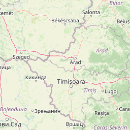
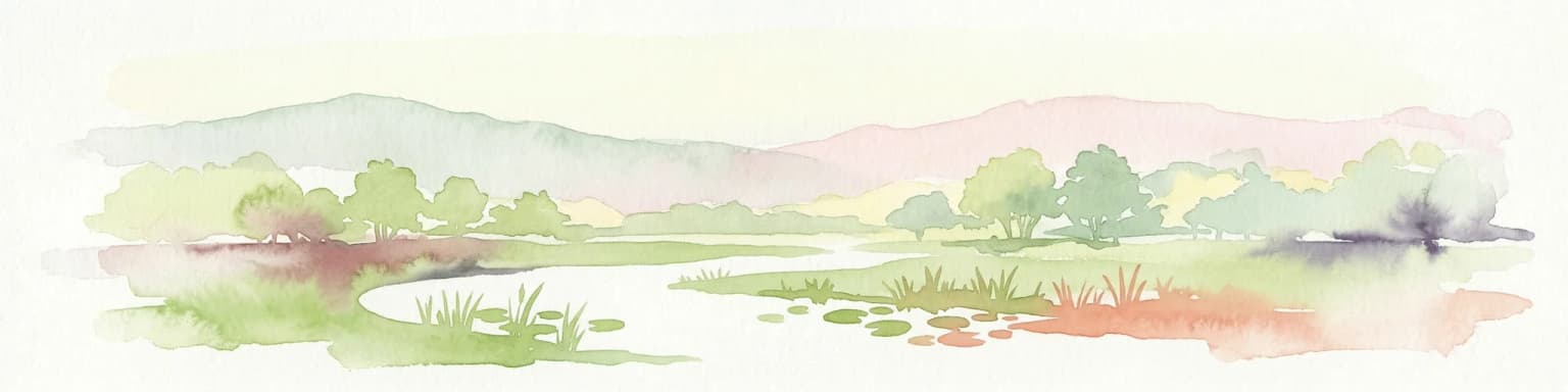
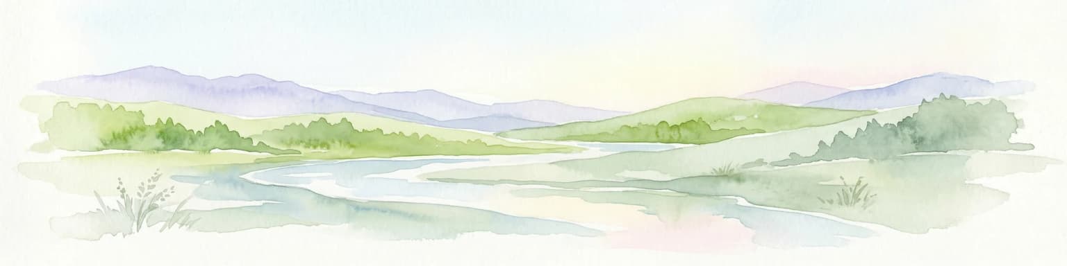
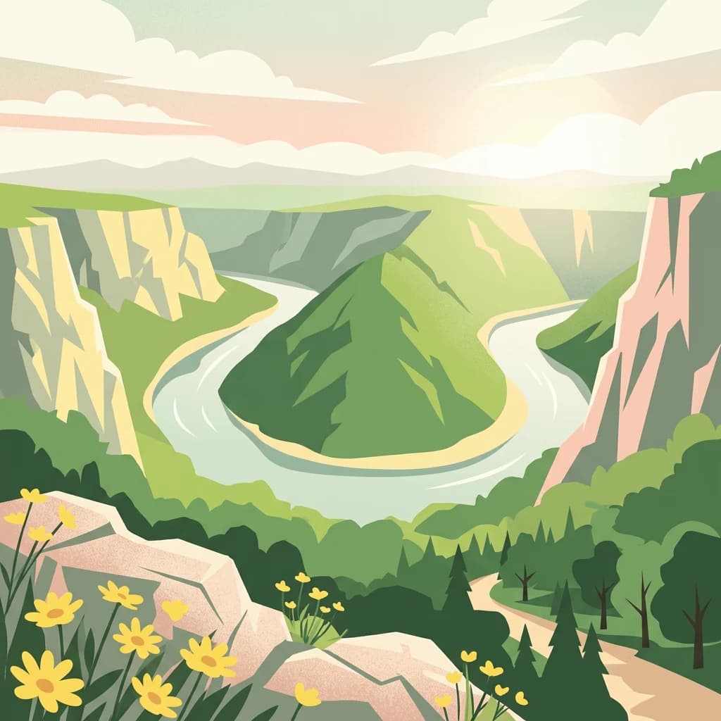
Subotička Peščara landscape and geographic character

The physical landscape of Subotička Peščara is defined by its aeolian origins and the resulting dune topography. The terrain features a series of elongated sand dunes oriented parallel to the prevailing northerly and northwesterly winds that predominate throughout most of the year. Dune heights typically range from 4 to 6 meters, while the underlying sand and loess deposits reach depths of 100-140 meters. The landscape is characterized by the contrast between dry dune crests and moisture-retaining interdune depressions, where clay substrates create periodically flooded conditions that support distinct wetland habitats. The highest points reach approximately 137 meters above sea level in the northwestern portion, while the lowest areas around Horgoš drop to about 95 meters. The eastern sector follows the meandering course of the Kereš river, which forms part of the border with Hungary.

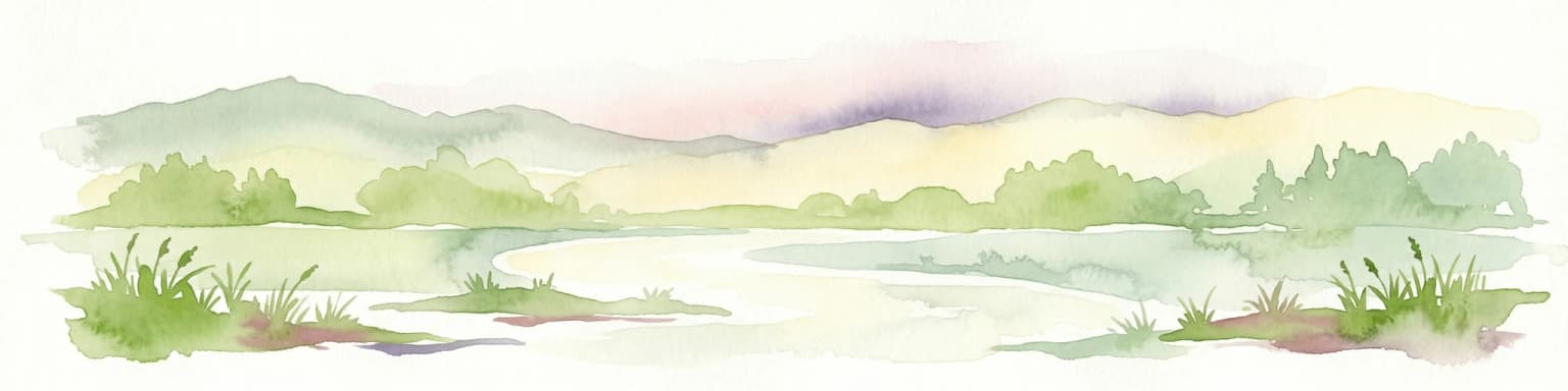
Subotička Peščara ecosystems, habitats, and plant life

The ecological character of Subotička Peščara is defined by a mosaic of habitat types—sandy, steppe, and wetland—resulting from the interaction of edaphic, climatic, and hydrological factors. The area exhibits a forest-steppe character with both larger and smaller woodland complexes, most of which are of anthropogenic origin following centuries of afforestation. The vegetation includes both native and introduced species, with robinia (black locust), elm, and American ash dominating the plantation forests, while native grey and white poplar occur only in small self-set stands. Historical evidence from geobotanical and pollen research indicates that pedunculate oak once covered much of the area but has been nearly eliminated through human activity. The most significant habitats are the wetlands formed on lowland peat deposits in the Kereš river valley and the Selevenj stubble areas, where sand depressions meet wet meadows of saline character. These support remarkable displays of wildflowers in spring, including orchids, crocuses, and irises. The flora includes several endemic and subendemic species for which this represents the only known location in Serbia, including the sand crocus, late carnation, sand iris, and various grasses.

Subotička Peščara wildlife and species highlights

Subotička Peščara supports remarkable biodiversity, with approximately 170 bird species recorded within its boundaries—these numbers have earned the area recognition as an internationally significant Important Bird Area (IBA). The mammalian fauna includes several rodent species, with the lesser mole rat being particularly notable. The area also supports populations of steppe lizards, marsh turtles, and the European roller. Of exceptional conservation significance are two recently discovered species: a small population of the marsh glutton butterfly (a rare species dependent on the specific combination of bloody warrior plant and certain ant species) and a Panonian subspecies of blind mole rat (Nannospalax leucodon superspecies montanosyrmiensis), whose entire global population is restricted to the Carpathian Basin. The blind mole rat population, consisting of approximately 100 individuals, has retreated to the last remaining unploughed steppe areas along the state border, representing a significant and practically sensational finding given previous assumptions that this population had become extinct.

Subotička Peščara conservation status and protection priorities

Subotička Peščara holds significant conservation value as one of Serbia's rare inland dune ecosystems and as a component of the broader Pannonian sand habitat network. The area's designation as a Landscape of Outstanding Features reflects recognition of its ecological, geomorphological, and biodiversity significance. The presence of endemic plant species found nowhere else in Serbia, the internationally recognized bird population, and the existence of globally threatened species like the Panonian blind mole rat subspecies all contribute to its conservation importance. The Selevenj stubble area within the complex functions as a strict nature reserve. The transboundary nature of the dune system, continuing into Hungary's Kiskunság region, emphasizes the need for coordinated conservation approaches across national boundaries. The mosaic of habitats—ranging from dry sandy dunes through steppe grasslands to wetland depressions—creates conditions for exceptional species diversity within a relatively limited geographic area.

Subotička Peščara cultural meaning and human context

The Subotička Peščara landscape has been intimately connected to human settlement and land use patterns in the Bačka region for centuries. The area around Subotica historically supported important viticulture, with the sandy soils producing quality wines including Riesling, Blue Franconia (Modra franokvka), and Kadarka varieties. The town of Horgoš itself is largely situated on sandy terrain, and the broader region includes scattered settlements such as Mali Pesak and Mala Pijaca associated with the sand complex. The landscape forms part of the broader Bačka region, which has been shaped by the interplay of various ethnic and cultural groups throughout history, with the area's proximity to the Hungarian border reflected in the bilingual character of many local place names.

Top sights and standout views in Subotička Peščara

The rare inland dune ecosystem at Subotička Peščara represents one of Serbia's most distinctive natural landscapes, forming a transboundary habitat complex with Hungary's Kiskunság region. The area's significance is underscored by its population of approximately 170 bird species, the presence of nationally rare plant species including the only Serbian location of Meadow Saffron, and the discovery of globally significant species such as the Panonian subspecies of blind mole rat. The mosaic of forest, steppe, and wetland habitats created by the interaction of sandy, clay, and peat substrates supports exceptional biodiversity within a relatively compact area.

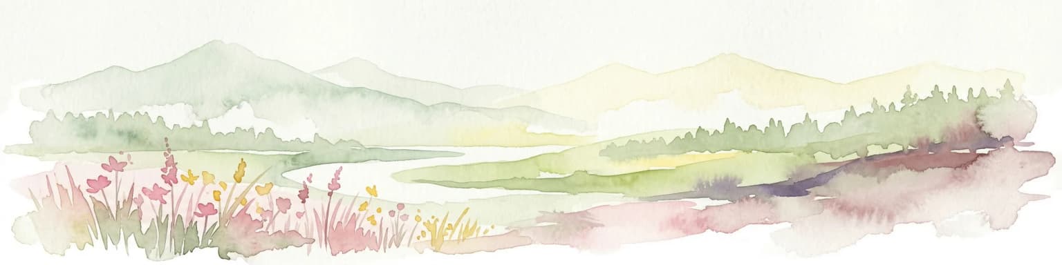
Best time to visit Subotička Peščara

The continental climate of Subotička Peščara creates distinct seasonal experiences. Spring, particularly late April and May, brings remarkable wildflower displays in the wetland depressions, with orchids, crocuses, and irises creating natural carpets across the meadows. The hot summer months can bring desert-like conditions with temperatures reaching 40°C in August, making early morning or late afternoon visits more comfortable. Autumn offers milder temperatures and the changing colors of the plantation forests, while winter can be starkly beautiful though temperatures may drop to -27°C in February. The area receives approximately 2,141 hours of annual sunshine, making it one of the sunniest regions in Serbia.

Park location guide

Geography guide, regional context, and park location map for Subotička Peščara

Subotička Peščara park geography, regions, and map view in Serbia
Understand where Subotička Peščara sits in Serbia through a broader geographic reading of the surrounding landscape, nearby location context, and its mapped position within the national park landscape.

How Subotička Peščara fits into Serbia

Serbia is a landlocked country in Southeast and Central Europe, bordered by eight neighboring countries. With a population of approximately 6.6 million, it operates as a unitary parliamentary republic with Belgrade as its capital. The country has a rich history dating back to medieval statehood in the 7th century and has been independent since 2006 following the dissolution of Serbia and Montenegro.

Wider geography shaping Subotička Peščara in Serbia

Serbia is a landlocked country in the Balkans, spanning parts of Southeast and Central Europe. It occupies a strategic position in the heart of the Balkan Peninsula, bordered by Hungary to the north, Romania to the northeast, Bulgaria to the southeast, North Macedonia to the south, Croatia to the northwest, Bosnia and Herzegovina to the west, and Montenegro to the southwest. The terrain varies from rolling plains in the north to mountainous regions in the south and east.

Map view of Subotička Peščara

Use this park location map to pinpoint Subotička Peščara in Serbia, understand its exact geographic position, and read its mapped placement within the surrounding landscape more clearly.

Pigeon | © OpenStreetMap contributors

Location context for Subotička Peščara

Bačka

Explore the diverse landscapes, unique aeolian sand dunes, and vital wetland habitats that define this exceptional protected area in Serbia.

Explore Subotička Peščara: Images of Serbia's Rare Inland Dune and Wetland Landscapes
Visually explore Subotička Peščara's undulating sand dunes, the rare forest-steppe mosaic, and crucial wetland habitats that define this distinct Serbian protected area. Examining these images provides essential insights into the park's unique aeolian landscape, its ecological diversity, and the vital conservation efforts within the Pannonian Plain.

Wide landscape view showing a winding river through green hills with rocky outcrops and yellow wildflowers in the foreground

A dirt road with tire tracks surrounded by tall grass and trees under a clear blue sky

Park atlas

Broaden your park discovery from Subotička Peščara, tracing regional protected landscapes and transboundary dune systems across the Pannonian Plain.

Compare Nearby National Parks and Protected Areas to Subotička Peščara
Browse protected areas related to Subotička Peščara, encompassing similar inland dune habitats, steppe landscapes, and wetland ecosystems across the Pannonian Plain. Compare their distinct geographic features and conservation priorities to understand regional protected-area distribution and transboundary ecological connections.
Protected areaSerbia

Lake Palić Protected Area: Serbia's Mapped Landscape and Regional Geography Exploration

Understand the protected landscape and park boundaries of Lake Palić.

Delve into the specifics of Lake Palić, a designated protected area in Serbia. This resource offers a deep dive into the park's mapped landscape, helping to illustrate its protected boundaries and geographic significance. Gain a clear understanding of its regional context and its contribution to the atlas of protected natural areas within Serbia.

Watercolor illustration of a river landscape with grassy banks, trees, and hills in the background
National park

Danube-Drava National Park: Hungary's Premier Riverine Protected Area and Floodplain Landscape

Mapping the protected river corridors and vital wetland ecosystems

Danube-Drava National Park showcases the dynamic geography of Central Europe's largest riverine protected area, integrating floodplains, riparian woodlands, and extensive marshes along the Danube and Drava rivers. As a National Park and a Ramsar site, it protects crucial habitats like the Gemenc forest and supports exceptional biodiversity, including significant populations of white-tailed eagles. This page provides a structured overview of its mapped boundaries and ecological importance within the European protected lands atlas.

Area
490 km²
Established
1996
Relief
Lowland
Climate
Temperate
Protected area

Jegrička Nature Park: Mapped Protected Area with Riverine Wetland Ecosystems

Explore the geography and protected landscape of Jegrička Nature Park.

Jegrička Nature Park is a designated protected area recognized for its significant riverine wetland character within the Pannonian Plain of northern Serbia. The park's landscape is defined by the meandering Jegrička river, extensive marshlands, and riparian vegetation, serving as crucial freshwater habitat for diverse waterfowl and migratory bird populations. This page offers detailed geographic context and atlas-level exploration of its protected boundaries and ecological importance within Eastern Europe's broader natural heritage.

Relief
Lowland
Scope
Mixed
Water
Major water bodies
Watercolor illustration of a river flowing through wetland vegetation with distant hills under a light sky
Protected landscapeOsijek-Baranja County

Kopački Rit Protected Landscape: A Key European Wetland Ecosystem in Osijek-Baranja County

Mapped natural terrain and protected landscape geography.

Delve into the protected landscape of Kopački Rit, a pivotal European wetland situated within Osijek-Baranja County, Croatia. This page offers a detailed look at its dynamic floodplain ecosystem, mapped water channels, marshes, and riparian forests, highlighting its importance for biodiversity and regional geography. Understand the park's extensive protected boundaries and its place in the broader continental atlas.

Area
177 km²
Established
1976
IUCN
V
Relief
Lowland
Watercolor illustration of a river flowing through a valley with mountains in the background
National parkBékés County

Körös-Maros National Park: National Park Identity and Békés County Landscape Context

Explore its mapped protected areas, wetlands, and steppe grasslands.

Körös-Maros National Park is a designated national park located in Békés County, Hungary, recognized for its expansive wetland ecosystems and steppe grassland habitats. This protected area plays a critical role in the geography of the Southern Great Plain, serving as a vital migration corridor for diverse bird populations. Users can explore the park's distinct landscape features, mapped protected boundaries, and its significance as a hub for avian conservation.

Area
501.34 km²
Established
1997
Relief
Lowland
Climate
Temperate
National park

Balaton Uplands National Park: Mapped Volcanic Terrain and Protected Landscape Atlas

Explore Hungary's protected volcanic landscape and its regional geography.

Balaton Uplands National Park presents a compelling study in volcanic geography, showcasing dramatic 'witness mountains' and diverse terrains. As a protected national park in Hungary, it offers rich opportunities for atlas-style exploration of its mapped boundaries, unique basalt formations, and significant wetland areas. Discover the distinct geological narrative and landscape context of this protected region, providing a clear point of reference for understanding Hungary's natural heritage through structured geographic data.

Area
569.97 km²
Established
1997
Relief
Highland
Climate
Temperate
Watercolor painting of a wetland with a calm lake, reeds, and distant forested hills
Protected landscapeBihor County

Cefa Natural Park Protected Landscape: Atlas and Geographic Context

Mapped wetland habitats and European bird migration routes.

Cefa Natural Park, designated as a protected landscape in Bihor County, Romania, offers significant insight into European wetland ecosystems and migratory bird patterns. Spanning 5,002 hectares, it features critical habitats such as marshes, floodplains, and the Rădvani Forest, positioned directly on the Pannonian, Bulgarian migration corridor. This park is a landmark for understanding regional geography and conservation efforts focused on migratory waterfowl and specialized halophytic vegetation. MoriAtlas provides the structured geographic data and mapped context necessary for detailed atlas-based discovery of this important protected area.

Area
50.02 km²
Established
2010
IUCN
V
Relief
Lowland
Watercolor painting of a mountain landscape featuring a river, hills, and vegetation
Nature reservePožega-Slavonia County

Papuk Nature Park: Explore Croatia's Foremost Geopark and Mountain Landscape

Mapped protected area with significant geological heritage in Slavonia.

Papuk Nature Park stands as a cornerstone of geological discovery in Croatia, celebrated as the nation's first UNESCO Global Geopark. Within Požega-Slavonia County, its mountainous terrain features dramatic ridgelines, ancient rock formations like Sokoline stijene, and extensive forests. This protected area offers a unique landscape context for atlas-driven exploration, detailing its mapped boundaries and its critical role in preserving Slavonia's highland geography and geological heritage.

Established
1999
Relief
Highland
Climate
Temperate
Access
Moderate access

Common questions about visiting, size, designation, and location context for Subotička Peščara

Subotička Peščara FAQs for park facts, access, geography, and protected area context
Find quick answers about Subotička Peščara, including protected-area facts, park geography, trail and visitor context, and how the park fits into its surrounding country and regional landscape.
MoriAtlas Explorer

Continue Your Protected Areas Search Across the Global Atlas

Deepen your exploration by continuing the structured search for national parks and protected areas worldwide. Utilize the comprehensive filtering capabilities to compare different conservation landscapes and refine your understanding of global park geography. Discover more about the distribution and characteristics of protected natural areas.

Global natural geography