Mori Atlas logo
Park earthquake history

Review documented seismic activity, event depths, and magnitude records near this protected fell landscape.

Historical Earthquake Data and Recorded Seismic Events for Syöte National Park in Finland

This collection provides a structured archive of recorded earthquakes associated by proximity with the diverse forest and mire terrain of Syöte National Park. Users can examine historical seismic data, including event dates, magnitude ratings, and epicentre distances calculated relative to the park boundaries. The catalogue utilizes historical data records to provide transparency into regional seismic activity patterns without assessing future hazard or potential ground impacts.

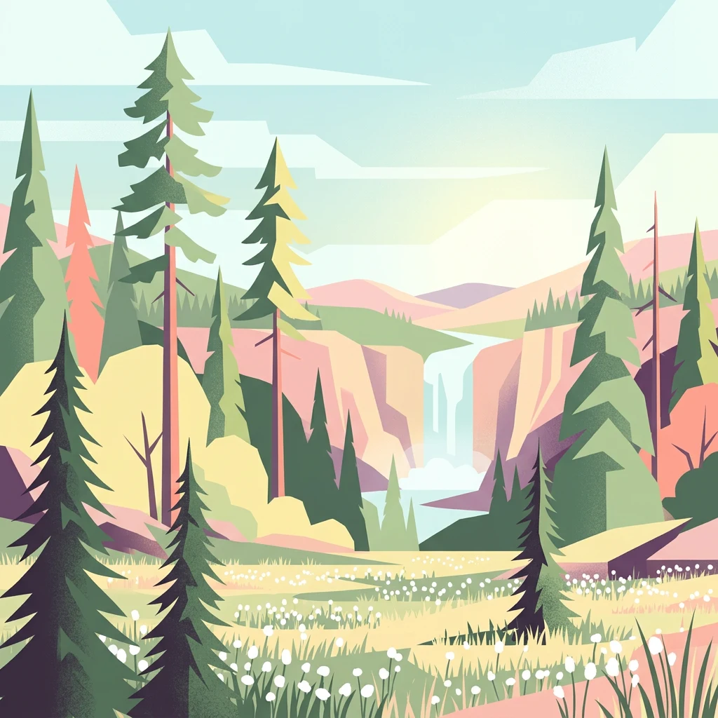
Illustration of a forested valley with a waterfall, tall pine trees, and rolling hills under a partly cloudy sky

Finland's southernmost fell country with ancient forests and vast mires

Syöte National Park

Syöte National Park is a protected area in northern Finland spanning the municipalities of Pudasjärvi, Posio, and Taivalkoski across the regions of Northern Ostrobothnia and Lapland. Established in 2000, the park encompasses approximately 303 square kilometers of diverse northern Finnish landscape. The park is named after Iso-Syöte, which is Finland's southernmost fell, standing as a distinctive landmark in this transitional zone between the flatter marshlands of Northern Ostrobothnia and the more rugged hill country of Koillismaa. The park features a chain of old-growth forests, including significant areas of high-altitude forest, alongside extensive mire and wetland systems that cover roughly one-quarter of the total area.

Location
Finland
Park type
National park
Established
2000
Area
299 km²
Syöte National Park Protected Landscape

Navigate Syöte National Park events by depth and distance

Investigate recorded earthquakes in the wider Syöte National Park area

Recorded earthquakes around Syöte National Park are linked to the park through epicentre location and calculated distances, not assumed to occur within its limits. Investigate dates, magnitudes, depths, place labels, distance data, and citations without treating hill, forest, or park characteristics as seismic causes, defining present danger, or predicting later events.

Sort by
Magnitude
Location

This page describes catalogued earthquakes associated with the park by epicentre location and distance. It does not establish causation, assess current danger, or predict future earthquakes.

No earthquake records match the current filters

Park atlas

Move from Syöte National Park earthquake history to other parks

Browse further protected destinations beyond Syöte National Park

The destination set that follows broadens the atlas beyond Finland’s southern fell country, ancient forest, and mires. Its entries are not selected for matching northern ecology, park status, geology, seismic exposure, proximity, or source depth.
Watercolor illustration showing a landscape with green vegetation, hills, and stylized human figures
National parkLapland
29 km away#1 closest

Northeast

Riisitunturi National Park: Explore Protected Landscape and Lapland Geography

Mapped boundaries of a national park in northern Finland.

Delve into the protected landscape of Riisitunturi National Park, a key national park situated in the expansive region of Lapland, Finland. This MoriAtlas entry provides detailed geographic context, focusing on the park's mapped boundaries and its role within the natural terrain of northern Finland. Understand its identity as a protected area and its significance within a broader atlas of natural landscapes.

Area
77 km²
Established
1982
IUCN
II
Visitors
58.8K annual
Watercolor painting of a lake with trees and distant mountains under a soft sky
National parkFinland
39 km away#2 closest

Southeast

Hossa National Park: Detailed National Park and Protected Landscape Geography

Explore mapped boundaries and regional context within Finland.

Delve into the protected landscape of Hossa National Park, a designated national park in Finland. This page provides structured geographic information, focusing on its mapped boundaries and position within the country's natural terrain. Understand how Hossa National Park contributes to the atlas of protected areas in Northern Europe, offering insights into its specific landscape character and regional significance for geographic discovery.

Established
2017
IUCN
II
Scope
Terrestrial
Watercolor illustration of a river flowing through a forested landscape with mountains in the background
National parkLapland
71 km away#3 closest

Northeast

Oulanka National Park: Protected Landscape Atlas and Geographic Context in Lapland

Explore mapped boundaries and regional terrain.

Discover Oulanka National Park as a distinct protected landscape entity within the extensive northern region of Lapland, Finland. This page provides structured geographic information, focusing on the park's mapped area, its regional setting, and its identity as a national park. MoriAtlas facilitates an atlas-driven understanding of Oulanka National Park's place in Finland's protected lands and its inherent natural terrain.

Area
270 km²
Established
1956
IUCN
II
Visitors
187.4K annual
Watercolor illustration of a landscape with lake, trees, and hills
National parkRepublic of Karelia
81 km away#4 closest

Northeast

Paanajärvi National Park: Protected Boreal Wilderness and Karelian Landscape Atlas

Mapping the old growth taiga forests and mountain terrain of northwestern Russia.

Located in the Republic of Karelia, Paanajärvi National Park is a significant protected area of boreal forest and lake ecosystems. This landscape, characterized by the Maanselkä hills and the summit of Nuorunen, offers a pristine look at the intact wilderness of northern Europe. Examine the mapped boundaries and geographic features that define this essential transboundary conservation area.

Area
1,043.71 km²
Established
1992
IUCN
II
Relief
Highland
Watercolor illustration showing a lake, trees, and hills under a light sky
National parkLapland
About 106 km away#5 closest

North

Salla National Park: Mapped Protected Landscape in Lapland, Finland

Explore its geographic context and protected area identity.

Understand Salla National Park as a distinct protected landscape situated within the expansive northern Finnish region of Lapland. This MoriAtlas entry focuses on its identity as a national park, detailing its mapped boundaries and geographic setting. Discover how Salla National Park contributes to the atlas of protected areas, offering a specific point of reference for exploring the natural terrain and regional geography of this subarctic territory.

Area
99.83 km²
Established
2022
IUCN
II
Visitors
55.9K annual
A watercolor painting showing a panoramic view of a river winding through a green taiga forest with distant mountains in the background.
National parkRepublic of Karelia
About 109 km away#6 closest

East

Paanajärvi National Park: Mapping the Boreal Wilderness of the Republic of Karelia

Sub-Arctic taiga ecosystems and glacial mountain geography

Paanajärvi National Park represents a protected mosaic of boreal forests, mires, and high-altitude fells near the Arctic Circle. The area features internationally significant geological formations, including layered intrusions and complex river networks, which form a critical link in the broader Fennoscandian conservation landscape.

Area
1,045 km²
Established
1992
IUCN
II
Visitors
5K annual
National parkRepublic of Karelia
About 116 km away#7 closest

Southeast

Kalevalsky National Park: Protected Taiga and Boreal Landscapes in the Republic of Karelia

Ancient old-growth pine forests and glacial terrain.

Kalevalsky National Park protects one of the last remaining large, intact stretches of virgin taiga in Northern Europe. Situated along the border of the Republic of Karelia, this landscape includes dense coniferous forest, complex drainage networks, and peatland mires. The park functions as a major habitat for forest-dwelling mammals and maintains the ecological integrity of the Fennoscandian Shield region through its preserved forest cover and diverse freshwater environments.

Area
744 km²
Established
2007
IUCN
II
Relief
Lowland
National parkRepublic of Karelia
About 117 km away#8 closest

Southeast

Kalevalsky National Park: Boreal Wilderness and Protected Landscapes in the Republic of Karelia

Ancient taiga ecosystems and glacial terrain mapped.

Located near the Russian-Finnish border, Kalevalsky National Park encompasses 74,400 hectares of rare primeval boreal forest. The park offers insight into the Baltic Shield's geological history and provides a map of extensive marshlands and lake basins that define this remote Karelian region.

Area
744 km²
Established
2007
IUCN
II
Relief
Lowland
MoriAtlas Explorer

Continue Exploring Syöte National Park's Mapped Terrain and Regional Geography

Extend your understanding of Syöte National Park by delving into its detailed geographic context and protected landscape features. MoriAtlas enables structured exploration of its mapped boundaries and unique fell terrain, providing a deeper appreciation for its place within Finland's natural atlas. Discover how this key protected area fits into the broader regional geography and the network of Finnish conservation landscapes.