Mori Atlas logo
National parkSyöte National Park

Discover mapped boundaries and the unique terrain of Finland's southernmost fell.

Syöte National Park: Protected Fell Landscape and Northern Finnish Geography

(Syötteen kansallispuisto)

Syöte National Park represents a vital protected landscape in northern Finland, characterized by its position at the transition between flat marshlands and rugged hill country. This national park encompasses a rich mosaic of old-growth boreal forests, extensive aapa mires, and Finland's southernmost fell, Iso-Syöte. MoriAtlas provides a structured view of its geographic setting and mapped protected area boundaries, offering detailed context for understanding this unique northern Finnish wilderness.

National parksBoreal forestsMires and wetlandsFell landscapesOld-growth forestsNorthern Finland
Illustration of a forested valley with a waterfall, tall pine trees, and rolling hills under a partly cloudy sky

Syöte National Park

National park

Park overview

Structured park overview, official facts, and landscape profile for Syöte National Park

Syöte National Park park facts, protected area profile, and essential visitor context
Review the core facts for Syöte National Park, including designation, size, terrain, visitor scale, habitats, and operating context in one park-focused overview.

About Syöte National Park

Syöte National Park occupies a distinctive place in Finland's protected area network as the nation's southernmost fells meet the northern forest belt. The park consists of four separate areas: Syöte, Maaselkä, Latva-Korte-Kärppävaara, and Salmitunturit. This fragmented structure reflects the complex geography of the region, where isolated hills rise from surrounding wetlands and forest valleys. The landscape displays remarkable diversity, combining steep hill slopes, peat-forming mires, pristine spruce forests, and old-growth stands that have never been logged. The park's location within the reindeer husbandry zone brings additional cultural dimension to the landscape, with traditional land use practices still visible in the surrounding areas. The park's name derives from Iso-Syöte, a 407-meter fell that serves as both a visual landmark and a symbolic boundary between Finland's more southerly marshlands and its true northern wilderness. Visitors access the park through the Syöte Nature Centre, which provides interpretive information about the park's ecology, history, and recreational opportunities.

Quick facts and research context for Syöte National Park

Syöte National Park covers 303 square kilometers across three municipalities in northern Finland. The park was established in 2000 and is managed by Metsähallitus. It lies at the intersection of two distinct landscape regions: the boreal marshlands of Northern Ostrobothnia and the fell country of Koillismaa. The park's most prominent geographic feature is Iso-Syöte, Finland's southernmost fell. Approximately 122 kilometers of hiking trails traverse the park, and the Pärjänjoki River offers a 22-kilometer paddling route.

Park context

Deeper park guide and search-rich context for Syöte National Park

Syöte National Park history, landscape, wildlife, and travel context
Explore Syöte National Park through its history, landscape character, ecosystems, wildlife, conservation priorities, cultural context, and seasonal travel timing in a structured park guide built for atlas discovery and search intent.

Why Syöte National Park stands out

Syöte National Park is best known for its unique position at the southern boundary of Finland's fell country, combining old-growth boreal forests with extensive mire systems. The park protects Finland's southernmost fell landscape, creating an ecological transition zone between northern taiga forests and southern marshland environments. Its network of hiking and mountain biking trails makes it a popular destination for outdoor recreation, while the Pärjänjoki paddling route provides access to the park's river landscapes. The Syöte Nature Centre serves as the primary interpretive facility for visitors.

A forested landscape with tall pine trees, grassy field with white wildflowers, and clear blue sky
Lush green meadow with wildflowers and tall pine trees under a clear blue sky in Syöte National Park

Syöte National Park history and protected-area timeline

Syöte National Park was established in the year 2000 as part of Finland's expansion of its national park network during the late twentieth and early twenty-first centuries. The creation of the park reflected growing recognition of the ecological significance of Finland's transitional landscape zones, where boreal forest meets fell country and marshland. The park's establishment followed survey work by Finnish environmental authorities to identify areas of particular conservation value that had not yet received formal protection. Since its designation, the park has been managed by Metsähallitus, the Finnish state-owned enterprise responsible for managing state-owned land and water areas. The park's trail network and visitor infrastructure have been developed progressively since establishment, with the Syöte Nature Centre serving as the primary gateway for visitor orientation and education.

Syöte National Park landscape and geographic character

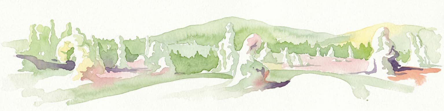
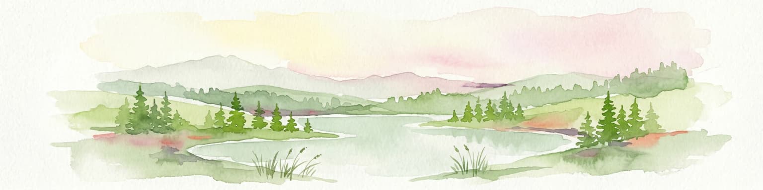
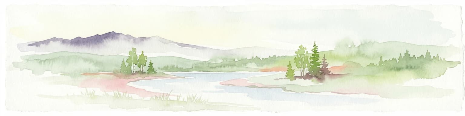
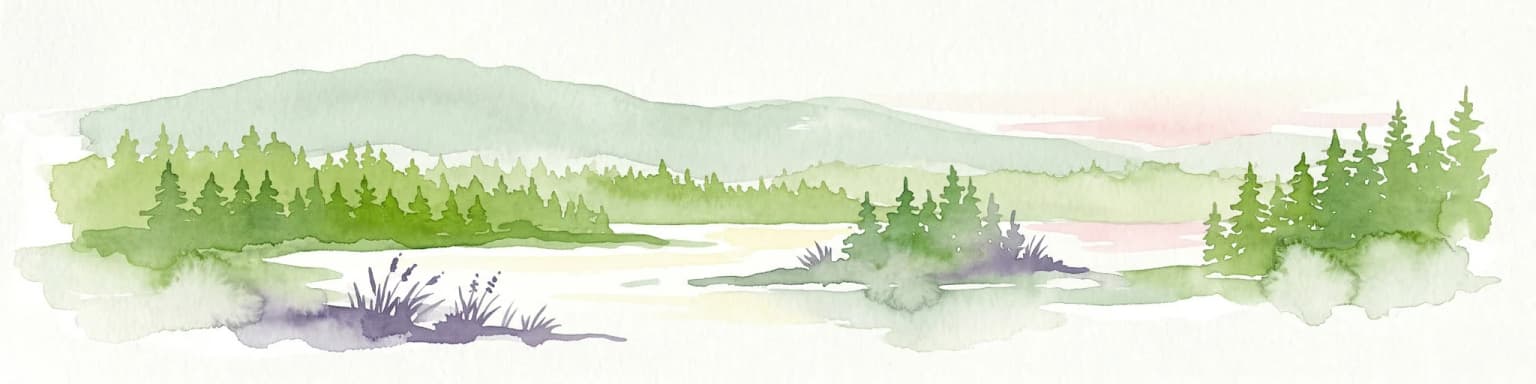
The landscape of Syöte National Park is defined by the convergence of two contrasting terrain types that give the region its distinctive character. The park sits at the boundary between the flat to gently rolling marshlands of Northern Ostrobothnia and the more rugged, hill-dominated terrain of Koillismaa. Within the park boundaries, isolated hills rise dramatically from surrounding wetlands, their slopes often carpeted with peat mosses and sedge communities. The aapa mire type, characteristic of northern Finland, dominates the wetland areas, with their distinctive string and pool patterns forming across the landscape. The hill forests transition with elevation, moving from mixed coniferous forests at lower elevations through spruce-dominated stands to the krummholz zone near the highest points. The Pärjänjoki River provides a watercourse through the park, with its valley supporting dense riparian vegetation and creating recreational paddling opportunities.

Syöte National Park ecosystems, habitats, and plant life

The ecological character of Syöte National Park reflects its position at a biogeographic crossroads between Finland's southern and northern biomes. The old-growth forests within the park represent some of the finest examples of northern boreal forest remaining in the region, with spruce-dominated stands containing trees that have reached considerable age and size. These forests support complex ecological communities including epiphytic lichens, wood-decaying fungi, and invertebrate species associated with dead wood. The mire systems, covering approximately one-quarter of the park's area, represent diverse wetland types from nutrient-poor aapa mires to more minerotrophic riparian wetlands. These peat-forming ecosystems play important roles in carbon storage and hydrological regulation, while supporting specialized plant communities adapted to waterlogged, nutrient-poor conditions. The transition zone between forest and mire creates a mosaic of habitats that supports species characteristic of both ecosystem types.

Syöte National Park wildlife and species highlights

The wildlife of Syöte National Park reflects typical boreal forest and wetland communities of northern Finland. The old-growth spruce forests provide habitat for species associated with decaying wood, including several species of woodpeckers and cavity-nesting birds. The mire areas support bird species typical of open wetland habitats, including various species of waders and waterfowl during the breeding season. The surrounding reindeer husbandry landscape creates a mosaic of forest, open areas, and semi-natural habitats that supports species adapted to this traditional land use pattern. While specific species inventories are not comprehensively documented in the available sources, the park's habitats would be expected to support the typical mammal and bird communities of northern Finnish forest and wetland ecosystems.

Syöte National Park conservation status and protection priorities

Syöte National Park contributes to Finland's national protected area network as an IUCN Category II protected area, ensuring long-term conservation of its boreal forest, mire, and fell landscape ecosystems. The park protects significant representations of the transitional landscape between Finland's northern and southern boreal zones, a region that has experienced considerable human modification in surrounding areas. Conservation of old-growth forest within the park maintains ecological processes and species communities that depend on structural complexity and dead wood that are largely absent from managed forests. The mire systems protected within the park represent important carbon stores and hydrological regulators, with their conservation contributing to broader ecosystem health in the Iijoki river catchment. The park's position within the reindeer husbandry zone also creates opportunities for integrating traditional land use with conservation objectives.

Syöte National Park cultural meaning and human context

Syöte National Park lies within the traditional reindeer husbandry region of northern Finland, where semi-nomadic reindeer herding has shaped both landscape and culture for centuries. The park's surroundings and, to some degree, its interior reflect the legacy of this traditional economy, with reindeer grazing creating open areas within the forest and influencing vegetation patterns. The landscape also bears traces of historical forestry operations, with old logging trails and infrastructure visible in some areas. The park's name derives from Iso-Syöte fell, a landmark that has given identity to the surrounding area and the settlement of Syötekylä. The Syöte Nature Centre provides interpretive context about both natural and cultural dimensions of the park, helping visitors understand the region's history and contemporary land uses.

Top sights and standout views in Syöte National Park

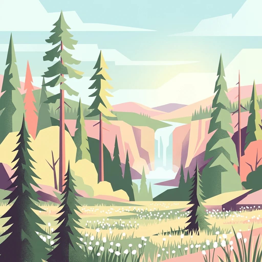
The park's signature feature is Iso-Syöte, Finland's southernmost fell, offering distinctive hill landscape not found elsewhere in the country at this latitude. The extensive trail network of 122 kilometers accommodates hiking, trekking, and mountain biking, with routes ranging from 19 to 54 kilometers in length. The Pärjänjoki paddling route provides a 22-kilometer water-based exploration option through the park's river valleys. The Syöte Nature Centre serves as an educational gateway, explaining the park's ecology and cultural context. The diversity of habitats, from old-growth forest to aapa mires, creates a compact demonstration of northern Finnish wilderness character.

Best time to visit Syöte National Park

The optimal time to visit Syöte National Park depends on the desired experience, with each season offering distinct possibilities. The summer months of June through August provide the warmest conditions for hiking and paddling, with long daylight hours allowing extended outdoor activities. The wetland ecosystems are at their most accessible during this period, and the trail network is fully operational. Autumn brings changing colors to the boreal forest, with September offering particularly striking displays as the vegetation transitions toward winter. Winter transforms the landscape into a snowy wilderness suitable for cross-country skiing and winter hiking on maintained trails, with the forest taking on a different character under snow cover. The shoulder seasons of late spring and early autumn typically offer fewer visitors while providing good conditions for those seeking a quieter experience.

Park location guide

Geography guide, regional context, and park location map for Syöte National Park

Syöte National Park park geography, regions, and map view in Finland
Understand where Syöte National Park sits in Finland through a broader geographic reading of the surrounding landscape, nearby location context, and its mapped position within the national park landscape.

How Syöte National Park fits into Finland

Finland, officially the Republic of Finland, is a Nordic country in Northern Europe with a population of 5.6 million. It borders Sweden, Norway, and Russia, with the Gulf of Bothnia to the west and the Gulf of Finland to the south. The country gained independence from Russia in 1917 and is a unitary parliamentary republic. Its landscape is characterized by extensive boreal forests and over 180,000 lakes.

Wider geography shaping Syöte National Park in Finland

Finland is located in Northern Europe, occupying a peninsula bordered by the Gulf of Bothnia to the west and the Gulf of Finland to the south. It shares land borders with Sweden to the northwest, Norway to the north, and Russia to the east. The terrain is predominantly flat with extensive forest coverage and numerous lakes.

Map view of Syöte National Park

Use this park location map to pinpoint Syöte National Park in Finland, understand its exact geographic position, and read its mapped placement within the surrounding landscape more clearly.

Pigeon | © OpenStreetMap contributors

Location context for Syöte National Park

LaplandNorthern Ostrobothnia

Visualize Syöte National Park's diverse boreal forests, fell landscapes, and extensive mire habitats in Northern Finland.

Syöte National Park Photos and Landscape: Explore Finland's Fell Country Scenery
Browse a comprehensive visual gallery of Syöte National Park to understand its unique Finnish fell landscapes, old-growth boreal forests, and distinctive aapa mire environments. These protected area images offer essential context, allowing a clear visual exploration of the park's terrain, habitats, and overall ecological character.

A forested landscape with tall pine trees, grassy field with white wildflowers, and clear blue sky

Park atlas

Trace surrounding protected landscapes and compare regional park geography across Northern Finland.

Discover Other National Parks and Protected Areas Near Syöte National Park
After exploring Syöte National Park, continue your discovery by browsing other national parks and protected areas within Finland's northern regions. Compare adjacent fell landscapes, boreal forests, and extensive mires to understand broader ecological patterns and conservation efforts across the regional park atlas.
National parkLapland

Riisitunturi National Park: Explore Protected Landscape and Lapland Geography

Mapped boundaries of a national park in northern Finland.

Delve into the protected landscape of Riisitunturi National Park, a key national park situated in the expansive region of Lapland, Finland. This MoriAtlas entry provides detailed geographic context, focusing on the park's mapped boundaries and its role within the natural terrain of northern Finland. Understand its identity as a protected area and its significance within a broader atlas of natural landscapes.

Area
77 km²
Established
1982
IUCN
II
Visitors
58.8K annual
National parkFinland

Hossa National Park: Detailed National Park and Protected Landscape Geography

Explore mapped boundaries and regional context within Finland.

Delve into the protected landscape of Hossa National Park, a designated national park in Finland. This page provides structured geographic information, focusing on its mapped boundaries and position within the country's natural terrain. Understand how Hossa National Park contributes to the atlas of protected areas in Northern Europe, offering insights into its specific landscape character and regional significance for geographic discovery.

Established
2017
Scope
Terrestrial
National parkLapland

Oulanka National Park: Protected Landscape Atlas and Geographic Context in Lapland

Explore mapped boundaries and regional terrain.

Discover Oulanka National Park as a distinct protected landscape entity within the extensive northern region of Lapland, Finland. This page provides structured geographic information, focusing on the park's mapped area, its regional setting, and its identity as a national park. MoriAtlas facilitates an atlas-driven understanding of Oulanka National Park's place in Finland's protected lands and its inherent natural terrain.

Area
270 km²
Established
1956
IUCN
II
Visitors
187.4K annual
Watercolor illustration of a landscape with lake, trees, and hills
National parkRepublic of Karelia

Paanajärvi National Park: Republic of Karelia's Premier Protected Landscape

Explore mapped boundaries and regional geography of this national park.

This MoriAtlas entry details Paanajärvi National Park, a significant protected area situated in the Republic of Karelia. Delve into its specific geographic profile, understand its mapped protected boundaries, and see how it fits into the wider atlas of Russia's natural and protected landscapes. It serves as a dedicated point for focused discovery of this national park's unique landscape context.

Area
1,043.71 km²
Established
1992
IUCN
II
Relief
Highland
National parkLapland

Salla National Park: Mapped Protected Landscape in Lapland, Finland

Explore its geographic context and protected area identity.

Understand Salla National Park as a distinct protected landscape situated within the expansive northern Finnish region of Lapland. This MoriAtlas entry focuses on its identity as a national park, detailing its mapped boundaries and geographic setting. Discover how Salla National Park contributes to the atlas of protected areas, offering a specific point of reference for exploring the natural terrain and regional geography of this subarctic territory.

Area
99.83 km²
Established
2022
IUCN
II
Visitors
55.9K annual
National parkRepublic of Karelia

Kalevalsky National Park: Rare Old-Growth Boreal Forest and Kalevala Epic Landscape

Mapped protected wilderness in the Republic of Karelia

Kalevalsky National Park is a significant protected area within the Republic of Karelia, Russia, safeguarding one of Europe's last remaining old-growth boreal pine forests. This vast national park protects a landscape characterized by numerous lakes, rivers, and marshes resting on ancient Baltic Shield bedrock, offering a clear representation of primeval taiga ecosystems. Its profound cultural ties to the Kalevala epic, Finland's national poem, make it a unique destination for exploring both natural and mythological geography. Understand the park's mapped boundaries and its place within the regional context.

Area
744 km²
Established
2007
IUCN
II
Relief
Lowland
Watercolor illustration of a landscape with hills, a lake, trees, and a sunset
National parkNorthern Ostrobothnia

Rokua National Park: Mapping Finland's Glacial Heritage and Protected Landscapes

Discover unique geological formations and ancient boreal forests.

Rokua National Park in Northern Ostrobothnia offers a unparalleled glimpse into glacial history, designated as a UNESCO Global Geopark. Explore its mapped esker ridges, dramatic kettle holes like Syvyydenkaivo, and the ancient pine forests that thrive on its nutrient-poor soils. This protected landscape provides a rich context for understanding Quaternary geology and the development of northern Finnish natural environments, ideal for atlas-based geographic discovery.

Area
8.8 km²
Established
1956
IUCN
II
Visitors
50.7K annual
Watercolor illustration showing a lake, rolling hills, and vegetation.
National parkLapland

Pyhä-Luosto National Park: Ancient Geological Heritage and Fell Landscape

Explore Lapland's southernmost large fell system and deep gorges.

Pyhä-Luosto National Park offers a unique window into Finland's deep geological past and its boreal ecosystems. As a protected area, it encompasses a prominent chain of twelve fells composed of two-billion-year-old quartzite, showcasing the southernmost large fell system in the country. The park's landscape is further defined by features like Isokuru, Finland's deepest gorge, and extensive old-growth forests, providing rich context for map-based discovery and regional geographic understanding within Lapland.

Area
142 km²
Established
2005
IUCN
II
Visitors
198.9K annual

Common questions about visiting, size, designation, and location context for Syöte National Park

Syöte National Park FAQs for park facts, access, geography, and protected area context
Find quick answers about Syöte National Park, including protected-area facts, park geography, trail and visitor context, and how the park fits into its surrounding country and regional landscape.
MoriAtlas Explorer

Continue Your Protected Areas Search Across the Global Atlas

Deepen your exploration by continuing the structured search for national parks and protected areas worldwide. Utilize the comprehensive filtering capabilities to compare different conservation landscapes and refine your understanding of global park geography. Discover more about the distribution and characteristics of protected natural areas.

Global natural geography
Syöte National Park: Finland's Southernmost Fell Protected Area Map