Mori Atlas logo
Nearby park discovery

Regional landscape context and nearby protected land distribution

National Parks and Protected Areas Located Geographically Near Taman Negara

Identify protected areas and national parks situated within the surrounding geographic region of Taman Negara. This resource displays regional distribution and landscape context to help visualize the spatial relationship between Taman Negara and neighboring conservation sites.

Related tags

Tropical RainforestOld-Growth ForestNational ParkPeninsular MalaysiaMount Tahan

Ancient tropical rainforest sanctuary spanning three Malaysian states

Taman Negara

Taman Negara is a vast national park in Peninsular Malaysia that encompasses portions of three states: Pahang, Kelantan, and Terengganu. Established in 1938 and 1939 as King George V National Park, it was renamed Taman Negara (meaning national park in Malay) following Malaysia's independence. The park covers approximately 4,343 square kilometers of pristine tropical rainforest, which scientific estimates date to more than 130 million years old, making it one of the world's oldest continuous rainforests. The landscape features predominantly gentle rolling hills with roughly 57 percent of the territory lying below 300 meters above sea level, though it also contains the mountainous Tahan Range, home to Mount Tahan, the highest peak in Peninsular Malaysia at 2,187 meters. Taman Negara serves as a critical headwater system for the region, with the Lebir, Terengganu, and Tembeling Rivers originating within its boundaries and flowing to the South China Sea. The park holds significant conservation importance for both lowland and montane rainforest ecoregions of Peninsular Malaysia and is home to several endangered species including the Malayan tiger, Asian elephant, and potentially the Northern Sumatran Rhinoceros.

Location
Malaysia
Park type
National park
Established
1938
Area
4,343 km²
Highest point
2,187 m
Taman Negara National Park Atlas
Regional park map

See the ranked park cluster in its geographic setting

Nearby parks around Taman Negara

This regional map shows the same 20 nearby parks ranked below around Taman Negara. Select a ranked marker to highlight that park’s boundary where boundary data is available.
Reference park: Taman NegaraRanked nearby park20 nearby parks shown
20 nearby parks

Distance ranked collection and regional environmental comparison signals

Parks and Protected Areas Geographically Near Taman Negara

Explore nearby protected areas ranked by direct geographic proximity to Taman Negara to evaluate surrounding regional park geography. Each entry supplies structured spatial separation metrics and recorded environmental traits to support comparative analysis across adjacent conservation landscapes.
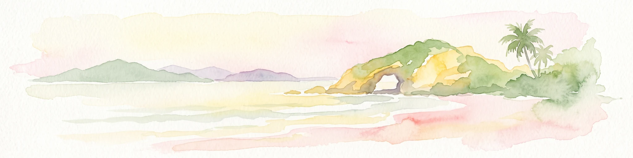
A soft-toned watercolor painting of a tropical island beach with a natural rock arch formation and palm trees.
Protected areaTerengganu
About 106 km away#1 closest

Northeast

Kapas Island: A Detailed Geographic Overview of the Protected Terengganu Coastal Landscape

Topography, Marine Protection Zones, and Island Geography

Kapas Island offers a focused look at the intersection of coastal geography and conservation management. This small archipelago features a tropical jungle core and protected sandy perimeters, providing a clear map of local reef health and coastal biodiversity in the Terengganu region of Malaysia.

Area
1.5 km²
Relief
Lowland
Climate
Tropical
Access
Easy access
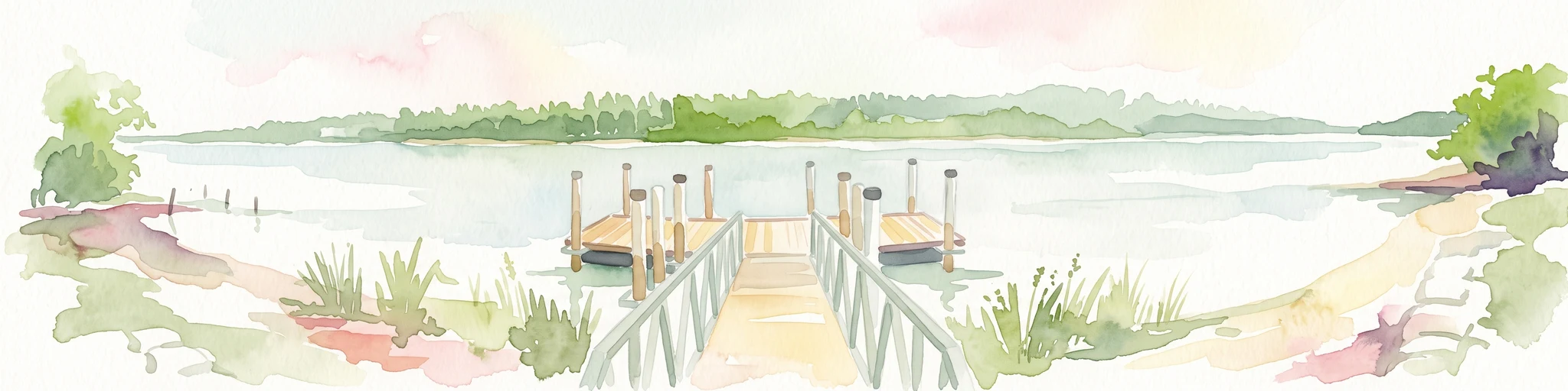
A watercolor illustration of a wooden pier extending into calm wetland waters, with lush green shorelines and trees on both sides.
State or regional parkTerengganu
About 111 km away#2 closest

North

Setiu Wetlands State Park: Geography and Protected Area Atlas of Terengganu

Coastal lagoons, mangrove forests, and riverine ecosystems

Encompassing the largest natural wetland on Malaysia's east coast, Setiu Wetlands State Park serves as a critical protected landscape where sea, sand, and forest meet. This atlas entry details the park's 23,000 hectare expanse, highlighting the complex hydrological network of lagoons and river basins that support diverse habitats, including peat swamps and seagrass beds.

Area
230 km²
Established
2018
Relief
Lowland
Climate
Tropical
Wildlife reservePahang
About 113 km away#3 closest

South

Tengku Hassanal Wildlife Reserve: Protected Forest and Mountain Geography in Pahang

Mapping a vast lowland dipterocarp forest sanctuary.

Spanning over 600 square kilometers, Tengku Hassanal Wildlife Reserve stands as a core protected area within Pahang. Its landscape includes riverine valleys and the steep montane terrain of the Benom Complex, supporting unique biodiversity and active wildlife conservation. This overview traces the park's geographic footprint and its role as an ecological corridor within the broader Titiwangsa mountain system.

Area
605.52 km²
Established
1923
Relief
Mountain
Climate
Tropical
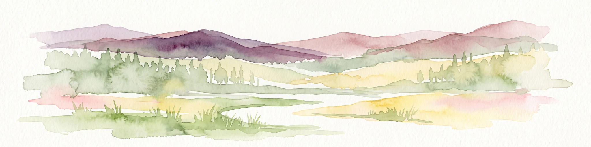
A watercolor painting showing a stylized, panoramic view of layered purple and pink mountains in the background with soft green forests and grassy plains in the foreground.
Marine protected areaTerengganu
About 128 km away#4 closest

North

Lang Tengah Island Marine Protected Area: Geography, Reefs, and Island Terrain

A tranquil protected landscape in the Terengganu archipelago

Lang Tengah Island represents a significant marine protected area defined by its dense forested interior and surrounding coral reef ecosystems. Located within the Terengganu marine region, the island offers a unique study of protected coastal geography, seasonal turtle nesting grounds, and undisturbed tropical marine environments separated from more developed nearby archipelagos.

Area
1.3 km²
Relief
Lowland
Climate
Tropical
Access
Moderate access
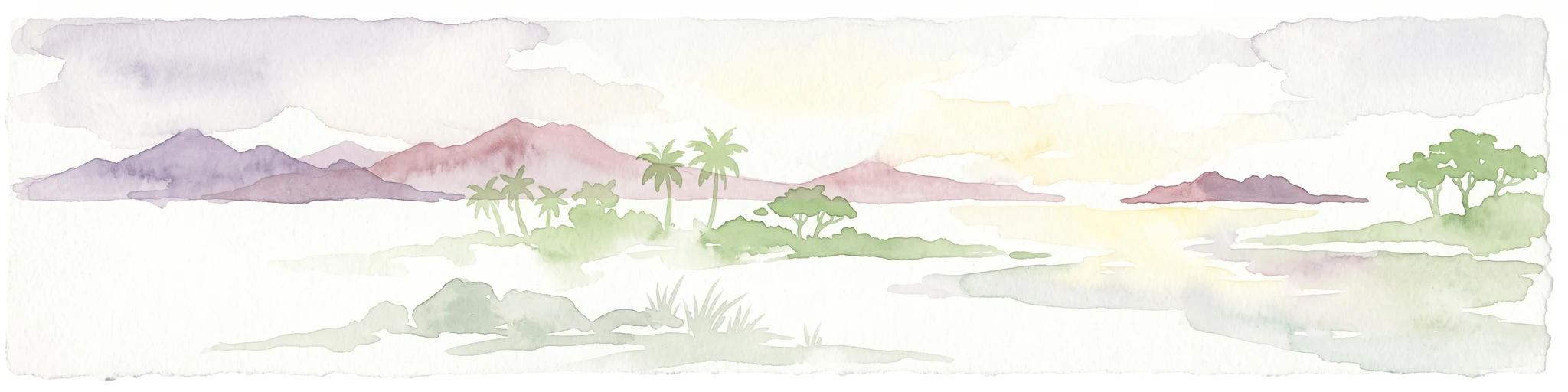
A watercolor painting of a tropical island coastline with palm trees, green vegetation, rocks in the foreground, and distant purple mountains under a soft light.
Marine protected areaTerengganu
About 134 km away#5 closest

Northeast

Redang Island Marine Protected Area: Coastal Terrain and Reef Ecosystems

Geographic atlas of the Terengganu island archipelago

Redang Island is a prominent marine protected area within the South China Sea, characterized by its forested interior, sheltered bays like Teluk Dalam, and expansive coral reef systems. As a key ecological site off the Terengganu coast, the island provides a unique study in island geography and marine conservation, offering detailed insights into the protected reef environments and coastal morphology of Peninsular Malaysia.

Area
24.2 km²
Relief
Upland
Climate
Tropical
Access
Moderate access
Protected areaTerengganu
About 135 km away#6 closest

East

Tenggol Island: A Geographic Overview of Terengganu's Protected Tropical Marine Landscape

Mapping reefs, forest interior, and regional maritime terrain

Tenggol Island stands as a distinct protected area off the coast of Terengganu, defined by its sharp 272-meter forested peak and complex underwater topography. This overview provides data on its coastal bays, rocky points, and fringing reef zones, offering a clear understanding of the island's unique position within the East Coast of Peninsular Malaysia's marine geography.

Area
2.62 km²
Relief
Upland
Climate
Tropical
Access
Moderate access
An illustrative style image of a dramatic mountain valley featuring cliffs, two waterfalls, and a forested foreground at sunset.
Marine protected areaTerengganu
About 138 km away#7 closest

North

Perhentian Islands Marine Protected Area: Terengganu Coastal and Archipelago Geography

Mapped marine boundaries and tropical island terrain

An immersive look at the Perhentian Islands, a protected nine-island archipelago in the South China Sea. Analyze the distinct marine geography, from fringing coral reefs and shallow reef flats to the forested inland hills of Perhentian Besar and Perhentian Kecil. This overview provides spatial context for one of Malaysia's most recognizable marine environments, emphasizing the protected status of its surrounding waters and reef habitats.

Area
15.955 km²
Established
1994
Relief
Lowland
Climate
Tropical
A soft watercolor painting of a serene lake scene with rolling hills in the background, green vegetation along the banks, and pale pink blooms, likely lotus flowers, in the water.
Biosphere reservePahang
About 149 km away#8 closest

South

Chini Lake Biosphere Reserve: Protected Freshwater Geography in Pahang, Malaysia

Examining the interconnected lake basins and tropical wetland terrain

Chini Lake is an essential protected freshwater system in Pahang, Malaysia, comprising a series of twelve connected lake basins and tropical forest margins. This landscape is a recognized UNESCO Biosphere Reserve, characterized by seasonal lotus blooms, peat-influenced wetlands, and deep cultural connections to the indigenous Jakun communities. Discover the geography and environmental context of this river-fed ecosystem.

Area
50.85 km²
Established
2019
Relief
Lowland
Climate
Tropical
A watercolor painting showing a quiet lakeside scene with dense green forests in the background and soft, purplish mountains rising behind them.
State or regional parkPerak
About 156 km away#9 closest

Northwest

Belum-Temengor: Ancient Rainforest Complex and Protected Landscape Geography in Perak

Mapping the forest ridges and lake archipelago of the northern Malay Peninsula

Spanning over 130 million years of ecological history, Belum-Temengor represents a massive, continuous block of tropical rainforest. The terrain transitions from high-altitude hill forests in the north to the flooded valleys and forested islands of Tasik Temengor. This complex serves as a vital water catchment and a sanctuary for diverse flora and fauna within the broader mountainous geography of the Perak region.

Area
1,175 km²
Established
2007
Relief
Mountain
Climate
Tropical
State or regional parkSelangor
About 176 km away#10 closest

Southwest

Selangor State Park: Protected Rainforest and Geological Landscape Discovery

Highland water catchment and quartz ridge geography in Selangor

Selangor State Park forms a massive block of continuous tropical rainforest serving as the principal water supply for the Klang Valley. This protected area features rugged slopes, diverse river basins, and the dramatic 14-kilometer Klang Gates Quartz Ridge. Use this map-integrated record to understand the park's critical role in regional hydrological regulation and its significance as a research-anchored highland ecosystem.

Area
914.41 km²
Established
2007
Relief
Highland
Climate
Tropical
Nature reserveSelangor
About 181 km away#11 closest

Southwest

Templer Park: Protected Hill Forest Reserve and Landscape Geography in Selangor, Malaysia

Mature forest canopy and tropical stream terrain

Templer Park preserves a critical patch of mature lowland and hill forest within Selangor. Featuring multi-tiered waterfalls, shaded riverbanks, and limestone caves, the reserve supports high biological interest including rare endemic species. Its mapped boundaries reflect an essential green refuge amidst regional development, offering a window into the natural forest geography north of Kuala Lumpur.

Area
12.14 km²
Established
1954
Relief
Upland
Climate
Tropical
Nature reserveMalaysia
About 191 km away#12 closest

South

Pasoh Forest Reserve: Lowland Dipterocarp Protected Area in Peninsular Malaysia

Mapping tropical rainforest boundaries and ecological research zones

Situated in the interior of Peninsular Malaysia, Pasoh Forest Reserve protects a vital fragment of lowland dipterocarp rainforest. The reserve is globally recognized for its long-term forest dynamics plot, which tracks hundreds of thousands of trees to inform modern understanding of rainforest ecology. The mapped landscape displays clear boundaries between the dense protected forest and surrounding agricultural plantations, offering a distinct view of land use and tropical conservation.

Area
24.5 km²
Established
1987
Relief
Upland
Scope
Terrestrial
A watercolor painting showing a winding river flowing through green wetlands and forests with distant rolling hills.
Nature reserveSelangor
About 204 km away#13 closest

Southwest

Kuala Selangor Nature Park: Mapping the Coastal Wetland and Forest Mosaic of Selangor

A Managed Nature Reserve at the Selangor River Estuary

Kuala Selangor Nature Park represents a key protected landscape in Malaysia, where secondary forest meets an intricate system of estuarine wetlands. This atlas provides a detailed look at the park, focusing on the interplay between its freshwater ponds, mangrove fringes, and the coastal bunds that govern the habitat. It serves as an essential site for understanding coastal restoration and wetland ecology in the region of Selangor.

Area
2.4 km²
Established
1987
Relief
Lowland
Climate
Tropical
National parkNarathiwat Province
About 216 km away#14 closest

Northwest

Budo, Su-ngai Padi National Park: Protected Tropical Rainforest Geography

Explore mapped boundaries and mountain landscapes in Southern Thailand.

Budo, Su-ngai Padi National Park is a critical protected area safeguarding one of Thailand's last significant tracts of intact tropical rainforest. Situated within the rugged Budo mountain range of Narathiwat Province, its landscape is defined by dense evergreen forests, steep terrain, and numerous waterfalls. This national park offers substantial geographic context for understanding conservation landscapes and regional terrain in peninsular Thailand, serving as a valuable addition to any atlas exploration.

Area
341 km²
Established
1999
IUCN
II
Relief
Mountain
Nature reserveSelangor
About 220 km away#15 closest

Southwest

Kuala Langat North Forest Reserve: Mapped Boundaries and Ecological Terrain Overview

Ancient lowland peat swamp geography in Selangor, Malaysia

Kuala Langat North Forest Reserve is an ecologically vital peat swamp remnant that shelters a range of endemic species within its 8,000 year old forest canopy. Located in the lowland terrain of Selangor, the reserve exists as a critical forest island surrounded by a matrix of development. This overview provides mapped context for the reserve's internal landscape and its role as a protected area within the shifting geography of the Klang Valley.

Area
9.576 km²
Established
1927
Relief
Lowland
Climate
Tropical
National parkJohor
About 251 km away#16 closest

South

Endau-Rompin National Park: Ancient Tropical Rainforest Protected Landscape in Johor, Malaysia

Explore unique mapped geography and ancient geological features.

Endau-Rompin National Park in Johor, Malaysia, is a testament to Earth's ancient history, housing tropical rainforests built upon geological formations around 248 million years old. This protected area offers a detailed look at rugged mountainous terrain, vital river systems, and a diverse mapped landscape, crucial for understanding regional geography and conservation. Its status as one of the oldest rainforest complexes makes it a significant site for exploring the planet's prehistoric natural heritage and protected land distribution.

Area
870 km²
Established
1993
IUCN
II
Relief
Mountain
Wildlife reserveMalacca
About 263 km away#17 closest

South

Tanjung Tuan Wildlife Reserve: Coastal Geography and Forested Cape Mapping

Coastal dipterocarp forest and raptor sanctuary in Malacca.

This forested coastal cape is an essential protected landscape situated along the Strait of Malacca. Characterized by its dense lowland dipterocarp forest, rocky headlands, and offshore islets, the reserve provides a crucial ecological connection for migratory birds and preserves a rich history of colonial maritime navigation and defense. Its geography offers a compact view of diverse coastal environments, ranging from mangrove fringes to the elevated ridge of Batu Putih.

Area
0.607 km²
Established
1921
Relief
Upland
Climate
Tropical
National parkMalaysia
About 265 km away#18 closest

West

Penang National Park: Exploring Malaysia's National Park Atlas and Protected Landscapes

Understand the mapped geography and protected terrain of Penang National Park.

Penang National Park represents a crucial element within Malaysia's network of protected areas. This page offers detailed information for atlas-driven exploration, focusing on the park's specific geography, its mapped boundaries, and its contribution to the regional landscape. Gain a structured understanding of Penang National Park's identity as a protected national park, providing essential context for geographic discovery.

Area
12.13 km²
Established
2003
IUCN
II
Relief
Mixed relief
A minimalist watercolor illustration depicting abstract green rolling hills and distant pink-toned ridges against a white background.
Wildlife reservePahang
About 282 km away#19 closest

Southeast

Pulau Tioman Wildlife Reserve: Mapping Island Rainforests and Marine Boundaries

Protected island geography within the Pahang region

Covering the forested interior of Tioman Island, this wildlife reserve protects lowland and hill rainforest habitats that rise to Gunung Kajang. The area serves as a significant conservation landscape, bridging remote inland mountain terrain with vibrant coral-fringed coastlines in the South China Sea.

Area
136 km²
Established
1972
Relief
Mountain
Climate
Tropical
National parkSongkhla Province
About 292 km away#20 closest

Northwest

Khao Nam Khang National Park: National Park, Mapped Boundaries, and Regional Geography

Explore protected landscape identity and atlas context.

Gain detailed insights into Khao Nam Khang National Park, a key protected area situated within Songkhla Province. This national park serves as a critical reference point for understanding regional geography, its specific mapped boundaries, and its role as a conservation landscape. Discover its unique geographic context, vital for comprehensive atlas exploration of Thailand's natural heritage.

Area
212 km²
Established
1990
IUCN
II
Visitors
1.8K annual
Distance methodology

Geographic measurements, not driving distances

How nearby park distances are calculated

Distances use park boundaries whenever the available geometry allows it. When one or both boundaries are missing, the mapped park locations provide a clearly labelled estimate. Every value represents straight-line geographic separation and does not use roads or routing.

Boundary distance

Calculated between the nearest points of both park boundaries.

Location-to-boundary estimate

Estimated from one mapped park location to the nearest boundary of the other park.

Mapped-location estimate

Estimated between the mapped locations of both parks.

MoriAtlas Explorer

Continue Exploring Taman Negara National Park's Geography and Protected Landscape

Deepen your understanding of Taman Negara National Park's protected land identity and its role within Pahang's geography. Further map exploration can reveal more about the park's unique landscape context and its relation to the surrounding natural terrain, offering enriched atlas discovery.

Global natural geography