
Mori Atlas logo
Park earthquake history

Review documented seismic events and epicentre locations surrounding the Tara mountain massif

Historical Earthquake Records and Seismic Activity Catalogue for Tara National Park, Serbia

This historical catalogue provides a detailed collection of recorded seismic activity associated with the geographic boundary of Tara National Park. Each entry includes specific data on event dates, recorded magnitudes, and proximity to the park landscape. The records serve as a structured resource for understanding the seismic history of the Dinaric Alps region surrounding the Drina River canyon without implying hazard, causation, or predictive future trends.

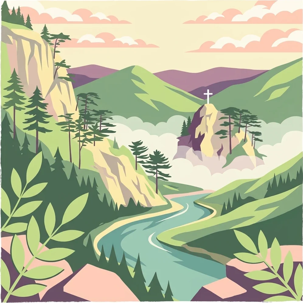
Illustration showing a mountainous landscape with a river winding through valley, forested hills, and a cross on a hilltop

Serbia's ecological jewel protecting the Balkan's ancient spruce and dramatic Dinaric mountain landscapes

Tara National Park

Tara National Park is a protected area in western Serbia that encompasses the greater part of the Tara mountain massiff, a rugged mountain range belonging to the Dinaric Alps system. Established on July 13, 1981, the park covers approximately 24,992 hectares of mountainous terrain within the Bajina Bašta municipality, making it one of Serbia's most ecologically significant protected areas. The park is centered around the dramatic landscape of Tara, a mountain whose name derives from the Illyrian Autariatae tribe that inhabited its slopes during the Bronze Age. The area is recognized as a refuge for both Tertiary and glacial relict species, giving it extraordinary botanical importance for the Balkan Peninsula and broader European conservation. Tara's landscape is characterized by deeply incised river valleys, dramatic viewpoints overlooking the Drina River canyon, and a mosaic of forest ecosystems that support remarkable biodiversity.

Location
Serbia
Park type
National park
Established
1981
Area
249.9 km²
Tara National Park Protected Landscape Atlas

Track historical seismic occurrences by epicentre distance, origin depth, and recorded magnitude.

Historical Seismic Activity and Earthquake Records Near Tara National Park

Browse a historical catalog of seismic events mapped by epicentre proximity to the mountain landscapes of Tara National Park in western Serbia. Each entry contains verifiable geological data including the event date, magnitude, depth, reported location, calculated distance from the park boundaries, and primary source coordinates.

Sort by
Magnitude
Location

This page describes catalogued earthquakes associated with the park by epicentre location and distance. It does not establish causation, assess current danger, or predict future earthquakes.

No earthquake records match the current filters

Park atlas

Navigate through diverse global landscapes and structured conservation profiles.

Explore Notable National Parks and Protected Areas Beyond Tara National Park

Continuing past the regional profile of Tara National Park opens up a wider database of globally recognized reserves and national parks. Regional maps and structured boundary profiles help travelers compare protected habitats, terrain characteristics, and established conservation zones worldwide.
Watercolor painting showing a river canyon with mountains in the background and green vegetation in the foreground
National park
Park boundaries overlap#1 closest

Northwest

Drina National Park: Bosnia and Herzegovina's Protected Canyon and Endemic Ecosystem

Explore mapped geography and natural landscapes in this Balkan national park.

Drina National Park is a protected area in eastern Bosnia and Herzegovina, celebrated for its striking Drina River canyon landscape. As a national park, it preserves vital habitats for endemic species such as the Serbian spruce and provides a crucial geographic anchor for regional conservation. Its deep gorges and steep slopes offer a rich context for understanding the natural terrain and mapped boundaries within the broader Balkan geography.

Area
63.15 km²
Established
2017
IUCN
II
Relief
Mountain
Watercolor illustration showing rolling hills, a river, trees, and distant mountains
Protected landscape
About 27 km away#2 closest

Southeast

Zlatibor Protected Landscape: Explore its Mapped Geography and Unique Alpine Meadows

Discover Dinaric Alps protected terrain and landscape context.

Zlatibor Protected Landscape offers a distinct exploration of mountainous terrain and protected natural areas in Serbia. Situated in the Dinaric Alps, its landscape is defined by rolling upland plateaus, dense coniferous forests, and open alpine meadows, creating a visually rich environment. The park's geography includes notable karst features and extensive cave systems, complemented by the natural boundaries of significant rivers. Delve into the mapped protected area to understand its landscape character, from the highest peak at Tornik to the unique geological formations and the rare endemic pine subspecies, providing a concrete geographic perspective for atlas-based discovery.

Area
0.419 km²
Established
2017
IUCN
VI
Relief
Mixed relief
Watercolor illustration of a river flowing through a valley with mountains, greenery, and pink flowers
Protected landscape
About 46 km away#3 closest

East

Ovčar-Kablar Gorge Protected Landscape: Serbia's River Gorge and Monastery Atlas

Explore karst terrain, monastery sites, and mapped river meanders.

Ovčar-Kablar Gorge is a protected landscape in Serbia renowned for its dramatic karst geology and the West Morava river's pronounced meanders. This area offers a unique atlas perspective, highlighting over a dozen historic Serbian Orthodox monasteries nestled within the dramatic canyon setting. The protected landscape reveals a confluence of significant natural features, including karst cliffs and thermal springs, alongside centuries of spiritual heritage, making it a distinct point for geographic discovery and understanding Serbia's mapped natural and cultural resources.

Area
25 km²
Established
2001
IUCN
V
Relief
Mixed relief
Watercolor illustration of mountain ranges, a lake, and forested hills in soft pastel colors
National park
73 km away#4 closest

Southwest

Sutjeska National Park: Bosnia and Herzegovina's Oldest National Park and Primeval Forest Reserve

Explore the mapped geography and protected landscape of this vital Balkan natural area.

Sutjeska National Park, Bosnia and Herzegovina's inaugural national park, protects a dramatic mountainous region defined by primeval forests and its highest peak, Maglić. As a strict nature reserve, Perućica's ancient trees represent a rare ecological treasure within the Balkan landscape. This page offers a detailed look at the park's protected boundaries, its diverse natural terrain, and its significant geographic setting for atlas exploration.

Area
160.52 km²
Established
1962
IUCN
II
Relief
Mountain
Watercolor illustration showing mountains, a winding river, and forested areas
National park
About 81 km away#5 closest

Southwest

Durmitor National Park: Dramatic Balkan Alpine Landscape & Protected Area

Explore its rugged terrain and glacial geography.

Durmitor National Park, a protected area in Montenegro, offers a spectacular alpine landscape defined by sharp limestone peaks, deep glacial valleys, and pristine mountain lakes. This national park preserves extensive old-growth forests and unique karst features, showcasing one of the Balkans' most significant wilderness areas. Its dramatic terrain and geological diversity make it a key destination for understanding regional protected lands and mountain geography.

IUCN
II
Relief
Mountain
Climate
Alpine
Scope
Terrestrial
Watercolor painting showing green forests, a river, and pink-hued mountains in the background
Protected landscape
About 99 km away#6 closest

Northeast

Kosmaj Protected Landscape: Explore Serbia's Island Mountain Geography and Forests

Mapped terrain, historic monasteries, and biodiversity near Belgrade.

Kosmaj, a unique protected landscape and island mountain, presents a compelling study in regional geography and mapped terrain for atlas enthusiasts. Rising prominently near Belgrade, its landscape is characterized by dense deciduous forests of beech and oak blanketing its steeper slopes, along with distinct peaks like Mali Vis and Goli Vis. This area serves as a vital watershed source and boasts significant biodiversity, offering a rich context for understanding Serbia's natural and historic environments through structured geographic data and map exploration.

Area
0.035 km²
Established
2005
IUCN
V
Relief
Lowland
Watercolor painting showing a mountain landscape with green forests, valleys, and distant hills
National park
About 102 km away#7 closest

South

Biogradska Gora National Park: Ancient Beech Forest and Protected Landscape Exploration

Discover Montenegro's oldest national park with mapped terrain and regional geography.

Biogradska Gora National Park represents a critical protected area in Montenegro, celebrated for its exceptionally well-preserved ancient beech forest. This national park features a heterogeneous terrain of rolling hills and river valleys that create a unique natural setting. The dense, old-growth canopy offers an immersive experience of a primeval forest ecosystem, providing significant value for understanding Balkan nature and protected forest dynamics. Explore the mapped boundaries and discover the distinct landscape character that defines this remarkable natural reserve.

IUCN
II
Watercolor illustration of mountainous landscape with forests and distant hills
National park
108 km away#8 closest

Southeast

Kopaonik National Park: Serbia's Premier Protected Mountain Landscape

Explore Balkan biodiversity and unique geographic terrain.

MoriAtlas presents Kopaonik National Park, a key protected area celebrated for its extraordinary endemic plant species and its distinctive mountainous geography. This national park safeguards a significant biodiversity hotspot within the Balkans, characterized by a prominent mountain plateau and peaks exceeding 2,000 meters. Discover the park's varied terrain, from forested slopes to subalpine meadows, and understand its role in regional natural landscapes. Utilize our map-based exploration tools to grasp Kopaonik National Park's protected boundaries and its unique place in geographic context.

Area
118.1 km²
Established
1981
IUCN
II
Relief
Mountain
MoriAtlas Explorer

Continue Exploring Tara National Park's Unique Mountain Geography and Protected Terrain

Delve deeper into the geographic context of Tara National Park, understanding its role as a vital protected area and a sanctuary for ancient flora. This section provides detailed mapped landscape information and regional geography insights, allowing for structured exploration of one of Serbia's most ecologically significant natural landmarks. Discover the distinct terrain and conservation value that defines this exceptional mountain massiff.