Mori Atlas logo
National parkTara National Park

Discover the unique mapped terrain and Balkan relict species of this Dinaric Alps national park.

Tara National Park: Serbia's Protected Landscape of Endemic Flora and Dramatic Geography

(National Park Tara)

Tara National Park represents a crucial protected area in western Serbia, encompassing the rugged massiff of the Tara mountain within the Dinaric Alps. Established to safeguard its extraordinary botanical significance, including the sole remaining habitat for the Tertiary relict Pančić's spruce, this park offers a unique window into Balkan flora and ancient ecosystems. Its dramatic limestone cliffs, deep river valleys, and panoramic viewpoints overlooking the Drina River canyon provide a stunning geographic context for understanding protected landscapes.

national-parkserbiaprotected-areamountain-parkforest-parkendemic-species

Tara National Park

National park

Park overview

Structured park overview, official facts, and landscape profile for Tara National Park

Tara National Park park facts, protected area profile, and essential visitor context
Review the core facts for Tara National Park, including designation, size, terrain, visitor scale, habitats, and operating context in one park-focused overview.

About Tara National Park

Tara National Park protects one of Serbia's most significant mountain ecosystems, encompassing the major portion of the Tara mountain massiff in the Dinaric mountain system of western Serbia. The park's establishment in 1981 recognized both the extraordinary ecological value of the region and its importance as a refuge for ancient species that survived in this mountainous sanctuary through geological epochs. The mountain of Tara itself forms a discrete geographic unit, geologically composed primarily of limestone and dolomite that has been sculpted by millions of years of erosion and glacial processes into the rugged terrain visible today.

The ecological significance of Tara extends far beyond its borders, functioning as a critical center of biodiversity for the entire Balkan Peninsula. As a refugial massiff, Tara served as a sanctuary during glacial periods, allowing both Tertiary relict species and glacial survivors to persist in niches across the mountain. This historical role as a biological sanctuary explains the extraordinary concentration of endemic species found within the park's boundaries. The park's management encompasses not only the strictly protected core area but also manages surrounding state forests outside the protected zone, ensuring coherent ecological stewardship of the broader mountain landscape.

Visitor infrastructure within the park is concentrated at two primary locations. The northern area around Kaluderske Bare, closest to Bajina Bašta, contains the main hotel facilities and serves as the primary access point for most visitors. The southern area around Mitrovac offers additional accommodation and access to different parts of the mountain. The park maintains a visitor center in Bajina Bašta that provides educational programming and interpretive exhibits about the park's natural values.

Quick facts and research context for Tara National Park

Tara National Park is located in western Serbia, approximately 10 kilometers from the town of Bajina Bašta. The mountain reaches 1,591 meters at its highest point, Kozji Rid, with an average elevation of 1,200 meters across the park. The park spans roughly 50 kilometers in length and 22 kilometers in width. It functions as a public enterprise managing both the protected area and surrounding state forests. The park administration is headquartered in Bajina Bašta, with visitor facilities at multiple locations including Kaluderske Bare and Mitrovac. The area was historically managed by the Bajina Bašta Forest Administration, established in 1895.

Park context

Deeper park guide and search-rich context for Tara National Park

Tara National Park history, landscape, wildlife, and travel context
Explore Tara National Park through its history, landscape character, ecosystems, wildlife, conservation priorities, cultural context, and seasonal travel timing in a structured park guide built for atlas discovery and search intent.

Why Tara National Park stands out

Tara National Park is renowned for its extraordinary botanical significance, most notably as the sole remaining habitat of Pançić's spruce (Picea omorika), a Tertiary relict conifer considered a living fossil of European and Balkan flora. This endemic species, discovered and described by the renowned Serbian botanist Josif Pançić, represents one of the most significant conservation priorities in the park. The mountain also contains remarkable concentrations of endemic plant species, with approximately 1,100 plant species documented across the broader park region, representing nearly one-third of Serbia's total flora. The park's dramatic limestone cliffs and viewpoints, particularly Banjska Stena, offer sweeping vistas over the Perućac reservoir and the Drina River canyon, creating one of Serbia's most iconic mountain landscapes.

Tara National Park history and protected-area timeline

Tara National Park was established by decision of the Serbian National Assembly on July 13, 1981, under the Law on National Parks, recognizing the exceptional natural values that required formal protection. The institutional predecessor to the national park was the Bajina Bašta Forest Administration, which was founded in 1895 and managed the region's forest resources for nearly a century before the national park designation was conferred. This long history of structured forest management contributed to the preservation of the mountain's forest ecosystems and provided the institutional foundation for national park administration.

Following its establishment, the park enterprise assumed responsibility not only for the protected area but also for state forests outside the park boundaries within the Bajina Bašta municipality. The park functions as a public enterprise with management responsibilities encompassing forest management, wildlife conservation, visitor services, and sustainable development promotion. Organizational structure includes planning and protection, forest utilization, administrative and legal affairs, financial sectors, and a specialized ranger service for on-the-ground protection and monitoring. The park's management framework has evolved to incorporate modern conservation principles while maintaining the legacy of structured environmental stewardship inherited from its forest administration origins.

In August 2012, Tara experienced a significant wildfire that burned approximately 170 hectares of forest, representing a major disturbance event in the park's recent history. The fire lasted nineteen days and affected forest communities in the affected areas, necessitating subsequent restoration efforts.

Tara National Park landscape and geographic character

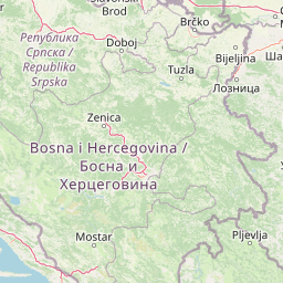
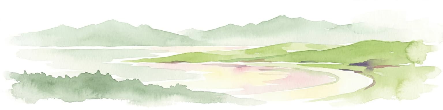
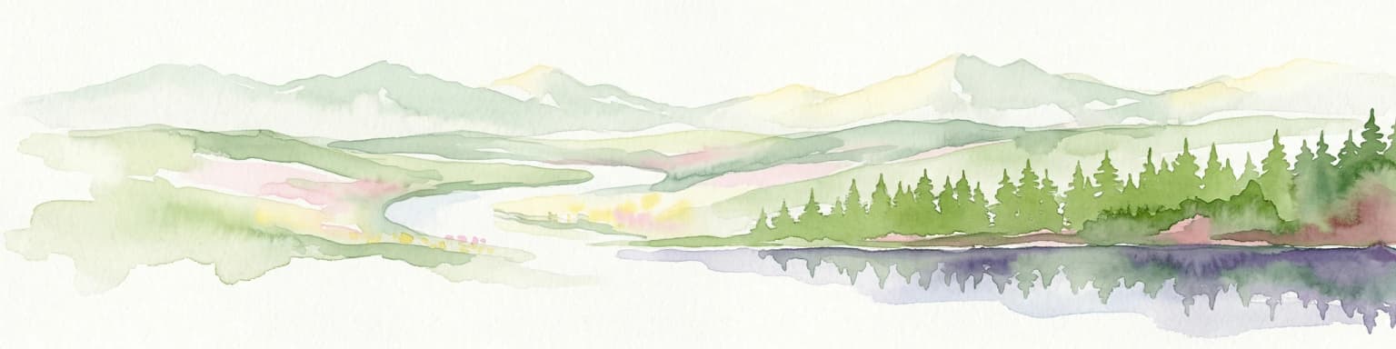
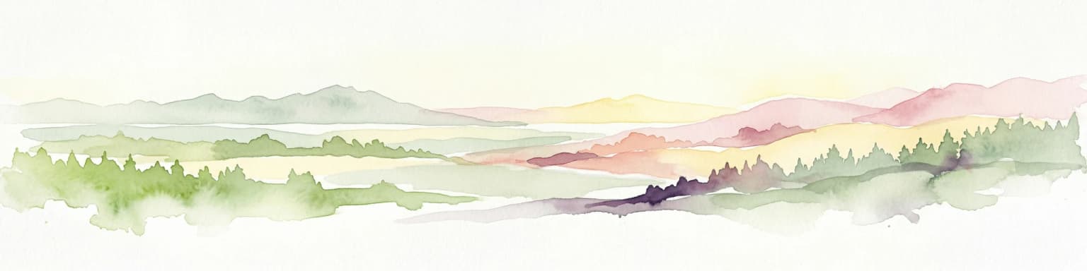
Tara National Park presents a dramatic landscape of mountainous terrain characterized by steep limestone cliffs, deep river valleys, and extensive forest cover across the Dinaric mountain system. The mountain forms a distinct geographic entity approximately 50 kilometers long and 22 kilometers wide, with an average elevation around 1,200 meters and the highest peak, Kozji Rid, reaching 1,591 meters. The landscape is structured around several distinct sub-regions including Kaluderske bare, the central Tara massif, the Crni vrh area, and the Zvezda (Star) plateau, each offering different terrain and vista characteristics.

The most spectacular landscape feature is the Drina River canyon, which the park encompasses along its western boundary. The dramatic limestone cliffs of Banjska Stena provide one of Serbia's most iconic mountain viewpoints, dropping sharply to the reservoir below. Throughout the park, numerous other viewpoints including Zelenika, Bilješka Stena, Osluša, and Sokolarica offer access to the panoramic landscapes. The park also contains several reservoir lakes, most notably the Perućac reservoir formed by damming the Drina, and smaller lakes such as Zaovine. River valleys including the Derventa canyon and the White Rzava canyon add to the diversity of terrain. The landscape transitions from steep rocky cliffs and karst formations to more gentle plateau areas and forest-covered slopes.

Tara National Park ecosystems, habitats, and plant life

The botanical significance of Tara National Park is exceptional, with the broader protected area supporting over 1,100 plant species—representing nearly one-third of Serbia's entire flora. The park is internationally significant for its concentration of endemic species, including 84 Balkan endemics and six eastern Dinaric endemics. Most remarkably, Tara is the sole habitat of Pançić's spruce, a Tertiary relict conifer that has survived as a living species only in specific locations within this mountain range. This species represents a critical conservation priority as a relict of ancient European forests.

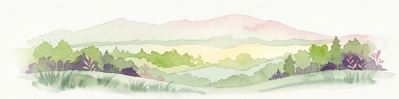
The forest ecosystems of Tara are diverse, with coniferous forests dominated by spruce, fir, and pine coexisting with deciduous species including maple, birch, and beech. The vegetation zonation reflects the elevation gradient and varying microclimatic conditions across the mountain. The park also supports significant communities of lichens (96 species documented), mosses (171 species), and ferns (30 species), indicating excellent environmental quality and ecological complexity. As a refugial mountain system, Tara represents a critical repository of biodiversity that survived glacial periods in these highland sanctuaries, making it irreplaceable for European conservation.

Tara National Park wildlife and species highlights

Tara National Park supports remarkable vertebrate biodiversity, with 53 mammal species and 153 bird species documented within its boundaries. The park's mammal community includes several species of significant conservation concern, with the brown bear, chamois, and roe deer receiving particular protection status. These species occupy different habitat zones across the mountain, from the forested slopes to the alpine meadows and rocky outcrops. The diversity of habitats across Tara's elevational gradient supports this rich mammal community, with forest-dwelling species coexisting with species preferring more open rocky terrain.

The bird community is equally diverse, with species utilizing the various forest types, cliff habitats, and open areas throughout the park. Raptor species nest on the limestone cliffs, while forest bird species occupy the extensive woodland areas. The combination of old-growth forest elements, rocky habitats, and the proximity to river systems creates a mosaic of wildlife habitats that supports this rich avifauna. The ecological significance of Tara as a refugial mountain system has allowed numerous species to persist here that have been lost from other parts of their historical ranges.

Tara National Park conservation status and protection priorities

Tara National Park holds IUCN Category II status as a national park, reflecting its primary mandate of protecting natural ecosystems while allowing for sustainable visitor use. The park's conservation significance is international in scope due to the presence of Pançić's spruce, a species that exists only in this restricted geographic range and represents a critical element of European biodiversity. The protection of this species and its habitat forms a cornerstone of the park's conservation mission. The park employs a zonation system that allocates different areas to varying levels of protection based on their ecological significance and sensitivity. The strict protection zone (Zone I) encompasses natural reserves, immovable cultural properties, and natural monuments, covering approximately 13% of the park area. The moderate protection zone (Zone II) includes protective forests, park-forests, and research areas, while the managed zone (Zone III) permits more extensive visitor access and sustainable resource use. This structured approach ensures that the most ecologically sensitive areas receive the highest level of protection while still allowing visitors to experience the park's natural values.

Tara National Park cultural meaning and human context

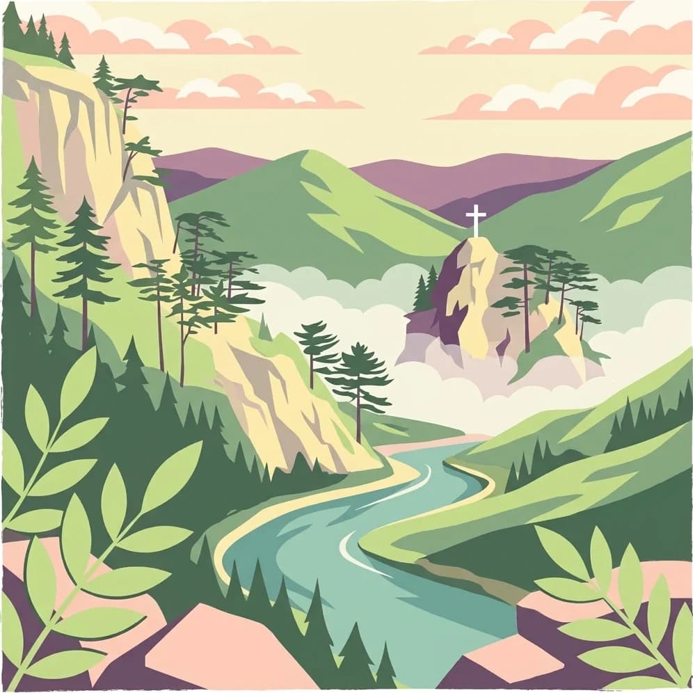
The Tara region contains cultural heritage elements that are protected within the national park framework. The Monastery of Rača, a significant religious and historical site, lies within the park boundaries and receives special protection treatment. The archaeological site known as Mramorje near Perućac also falls within the protected area, representing historical human presence on the mountain. These cultural properties exist alongside the natural values, creating a landscape where cultural and ecological heritage intermingle.

Several villages lie within or adjacent to the national park boundaries, representing traditional mountain settlement patterns. Jagoštica and Rastište are villages entirely within the park boundaries, while portions of other settlements including parts of Solotuša and Rača extend into the protected area. These villages represent the "old-Vlah" type of dispersed mountain settlements established through forest clearing between woodland complexes, ranging in elevation from 410 to 1,000 meters. The traditional land use practices and settlement patterns of these communities have shaped the landscape over centuries, creating a cultural dimension to the mountain that complements its ecological values.

Top sights and standout views in Tara National Park

Tara National Park stands as Serbia's most botanically significant protected area, home to the sole surviving population of Pançić's spruce, a Tertiary relict conifer of extraordinary conservation importance. The park's viewpoints, particularly Banjska Stena, offer among the most spectacular mountain vistas in the Balkans, overlooking the dramatic Drina canyon and Perućac reservoir. The mountain supports approximately 1,100 plant species including 84 Balkan endemics, representing exceptional floral diversity within a relatively limited area. The concentration of both Tertiary and glacial relict species in this refugial massiff makes Tara irreplaceable for European biodiversity conservation. The Drina canyon cliffs and the network of viewpoints including Zelenika, Osluša, and Sokolarica create outstanding scenic value, while the diverse forest communities and wildlife populations support meaningful ecological experiences for visitors.

Best time to visit Tara National Park

Tara National Park offers distinct seasonal experiences throughout the year. The summer months of July and August provide the warmest conditions for hiking and outdoor activities, with well-developed visitor facilities at Kaluderske Bare and Mitrovac operating at full capacity. Autumn brings spectacular fall color across the deciduous and mixed forests, with September and October offering comfortable temperatures and fewer visitors than peak summer. Winter transforms the mountain into a snowy landscape, though access and facilities may be more limited during this season. Spring, particularly May and June, offers pleasant temperatures, active wildlife, and the opportunity to experience the mountain's flora at its most vibrant. The choice of season depends on visitor preferences, with each season offering distinctly different perspectives on this diverse mountain landscape.

Park location guide

Geography guide, regional context, and park location map for Tara National Park

Tara National Park park geography, regions, and map view in Serbia
Understand where Tara National Park sits in Serbia through a broader geographic reading of the surrounding landscape, nearby location context, and its mapped position within the national park landscape.

How Tara National Park fits into Serbia

Serbia is a landlocked country in Southeast and Central Europe, bordered by eight neighboring countries. With a population of approximately 6.6 million, it operates as a unitary parliamentary republic with Belgrade as its capital. The country has a rich history dating back to medieval statehood in the 7th century and has been independent since 2006 following the dissolution of Serbia and Montenegro.

Wider geography shaping Tara National Park in Serbia

Serbia is a landlocked country in the Balkans, spanning parts of Southeast and Central Europe. It occupies a strategic position in the heart of the Balkan Peninsula, bordered by Hungary to the north, Romania to the northeast, Bulgaria to the southeast, North Macedonia to the south, Croatia to the northwest, Bosnia and Herzegovina to the west, and Montenegro to the southwest. The terrain varies from rolling plains in the north to mountainous regions in the south and east.

Map view of Tara National Park

Use this park location map to pinpoint Tara National Park in Serbia, understand its exact geographic position, and read its mapped placement within the surrounding landscape more clearly.

Pigeon | © OpenStreetMap contributors
Park atlas

Discover the broader Dinaric mountain system and Balkan protected landscapes surrounding Tara

Explore Other National Parks and Protected Areas Near Tara National Park
Browse other national parks and protected areas located within the Dinaric Alps system, similar to Tara National Park's dramatic mountain terrain and significant conservation value. Compare these distinct protected landscapes to understand regional biodiversity patterns and the spread of unique habitats across the Balkan Peninsula.
Watercolor painting showing a river canyon with mountains in the background and green vegetation in the foreground
National park

Drina National Park: Bosnia and Herzegovina's Protected Canyon and Endemic Ecosystem

Explore mapped geography and natural landscapes in this Balkan national park.

Drina National Park is a protected area in eastern Bosnia and Herzegovina, celebrated for its striking Drina River canyon landscape. As a national park, it preserves vital habitats for endemic species such as the Serbian spruce and provides a crucial geographic anchor for regional conservation. Its deep gorges and steep slopes offer a rich context for understanding the natural terrain and mapped boundaries within the broader Balkan geography.

Area
63.15 km²
Established
2017
IUCN
II
Relief
Mountain
Watercolor illustration showing rolling hills, a river, trees, and distant mountains
Protected landscape

Zlatibor Protected Landscape: Explore its Mapped Geography and Unique Alpine Meadows

Discover Dinaric Alps protected terrain and landscape context.

Zlatibor Protected Landscape offers a distinct exploration of mountainous terrain and protected natural areas in Serbia. Situated in the Dinaric Alps, its landscape is defined by rolling upland plateaus, dense coniferous forests, and open alpine meadows, creating a visually rich environment. The park's geography includes notable karst features and extensive cave systems, complemented by the natural boundaries of significant rivers. Delve into the mapped protected area to understand its landscape character, from the highest peak at Tornik to the unique geological formations and the rare endemic pine subspecies, providing a concrete geographic perspective for atlas-based discovery.

Area
0.419 km²
Established
2017
IUCN
VI
Relief
Mixed relief
Watercolor illustration of mountain ranges, a lake, and forested hills in soft pastel colors
National park

Sutjeska National Park: Bosnia and Herzegovina's Oldest National Park and Primeval Forest Reserve

Explore the mapped geography and protected landscape of this vital Balkan natural area.

Sutjeska National Park, Bosnia and Herzegovina's inaugural national park, protects a dramatic mountainous region defined by primeval forests and its highest peak, Maglić. As a strict nature reserve, Perućica's ancient trees represent a rare ecological treasure within the Balkan landscape. This page offers a detailed look at the park's protected boundaries, its diverse natural terrain, and its significant geographic setting for atlas exploration.

Area
160.52 km²
Established
1962
IUCN
II
Relief
Mountain
Watercolor painting showing green forests, a river, and pink-hued mountains in the background
Protected landscape

Kosmaj Protected Landscape: Explore Serbia's Island Mountain Geography and Forests

Mapped terrain, historic monasteries, and biodiversity near Belgrade.

Kosmaj, a unique protected landscape and island mountain, presents a compelling study in regional geography and mapped terrain for atlas enthusiasts. Rising prominently near Belgrade, its landscape is characterized by dense deciduous forests of beech and oak blanketing its steeper slopes, along with distinct peaks like Mali Vis and Goli Vis. This area serves as a vital watershed source and boasts significant biodiversity, offering a rich context for understanding Serbia's natural and historic environments through structured geographic data and map exploration.

Area
0.035 km²
Established
2005
Relief
Lowland
Climate
Temperate
Watercolor painting of a landscape featuring rolling hills, a lake, trees, and a sky with clouds
Natural monument

Avala Natural Monument: Iconic Protected Landscape and Regional Geography Near Belgrade

Explore Avala's mapped terrain and natural monument significance.

Avala Natural Monument offers a unique protected landscape and significant geographic context for the Belgrade metropolitan area. As one of Serbia's oldest protected natural sites, its distinct mountain terrain, geological composition, and panoramic views provide a rich subject for atlas-based discovery. Explore the mapped boundaries and natural features that define this prominent Serbian natural monument.

Area
5.01 km²
Established
1859
Relief
Mountain
Climate
Temperate
National parkKosovo

Bjeshkët e Nemuna National Park: Kosovo's Largest Alpine Protected Landscape

Explore dramatic mountains, glacial lakes, and diverse ecosystems.

Delve into the protected geography of Bjeshkët e Nemuna National Park, Kosovo's expansive national park located in the Accursed Mountains. This atlas entry details its significant alpine terrain, from dense forests to high-altitude meadows, and highlights the presence of glacial lakes like Liqenat. Understand its role as a vital conservation corridor and a key component of the Balkan's natural heritage.

Area
630.28 km²
Established
2012
IUCN
II
Watercolor painting showing a mountainous landscape with a lake, green hills, and pink flowers
National park

Alps of Albania National Park: Explore Albania's Largest Protected Alpine Wilderness

Dramatic karst, glacial valleys, and high-altitude ecosystems await.

The Alps of Albania National Park offers an expansive view into one of the Balkans' most significant mountain protected areas. This national park encompasses a spectacular landscape characterized by towering limestone peaks, deep glacial valleys carved over millennia, and intricate karst formations like Grunas Canyon. Its pristine wilderness protects diverse high-altitude ecosystems and unique geological features, serving as a key destination for understanding regional geography and protected landscapes.

Area
828.447 km²
Established
2022
IUCN
II
Relief
Mountain
Protected area

Jegrička Nature Park: Mapped Protected Area with Riverine Wetland Ecosystems

Explore the geography and protected landscape of Jegrička Nature Park.

Jegrička Nature Park is a designated protected area recognized for its significant riverine wetland character within the Pannonian Plain of northern Serbia. The park's landscape is defined by the meandering Jegrička river, extensive marshlands, and riparian vegetation, serving as crucial freshwater habitat for diverse waterfowl and migratory bird populations. This page offers detailed geographic context and atlas-level exploration of its protected boundaries and ecological importance within Eastern Europe's broader natural heritage.

Relief
Lowland
Scope
Mixed
Water
Major water bodies

Common questions about visiting, size, designation, and location context for Tara National Park

Tara National Park FAQs for park facts, access, geography, and protected area context
Find quick answers about Tara National Park, including protected-area facts, park geography, trail and visitor context, and how the park fits into its surrounding country and regional landscape.
MoriAtlas Explorer

Continue Your Protected Areas Search Across the Global Atlas

Deepen your exploration by continuing the structured search for national parks and protected areas worldwide. Utilize the comprehensive filtering capabilities to compare different conservation landscapes and refine your understanding of global park geography. Discover more about the distribution and characteristics of protected natural areas.

Global natural geography