Peaks
Ђурђево брдо
1,408 m

A comprehensive look at landscape topography, regional distribution, and natural features.
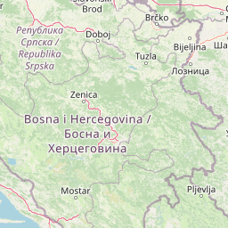
Discover the physical composition and spatial extent of Tara National Park in Serbia. This profile outlines the protected area across its 249.92 square kilometer boundary, detailing mountain terrain, forest habitats, and significant natural features such as peaks, springs, and cave entrances found within the designated geography.
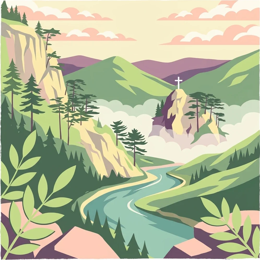
Serbia's ecological jewel protecting the Balkan's ancient spruce and dramatic Dinaric mountain landscapes
Tara National Park is a protected area in western Serbia that encompasses the greater part of the Tara mountain massiff, a rugged mountain range belonging to the Dinaric Alps system. Established on July 13, 1981, the park covers approximately 24,992 hectares of mountainous terrain within the Bajina Bašta municipality, making it one of Serbia's most ecologically significant protected areas. The park is centered around the dramatic landscape of Tara, a mountain whose name derives from the Illyrian Autariatae tribe that inhabited its slopes during the Bronze Age. The area is recognized as a refuge for both Tertiary and glacial relict species, giving it extraordinary botanical importance for the Balkan Peninsula and broader European conservation. Tara's landscape is characterized by deeply incised river valleys, dramatic viewpoints overlooking the Drina River canyon, and a mosaic of forest ecosystems that support remarkable biodiversity.
National jurisdictional records and geographic status within Serbia
Interactive protected boundary layout and derived area metrics
Mountain relief data and recorded physical features
Peaks
1,408 m
Peaks
1,153 m
Streams
Viewpoints
Peaks
1,305 m
Streams
Temperate mountain relief, forest cover, and riverine habitats across the terrain
Mountains · Forest · Rivers · Cliffs · Lakes
Temperate broadleaf forest · Temperate coniferous forest · Montane forest · Riverine habitat · Wetland
Discover the broader Dinaric mountain system and Balkan protected landscapes surrounding Tara

Northwest

Explore mapped geography and natural landscapes in this Balkan national park.
Drina National Park is a protected area in eastern Bosnia and Herzegovina, celebrated for its striking Drina River canyon landscape. As a national park, it preserves vital habitats for endemic species such as the Serbian spruce and provides a crucial geographic anchor for regional conservation. Its deep gorges and steep slopes offer a rich context for understanding the natural terrain and mapped boundaries within the broader Balkan geography.
Southeast

Discover Dinaric Alps protected terrain and landscape context.
Zlatibor Protected Landscape offers a distinct exploration of mountainous terrain and protected natural areas in Serbia. Situated in the Dinaric Alps, its landscape is defined by rolling upland plateaus, dense coniferous forests, and open alpine meadows, creating a visually rich environment. The park's geography includes notable karst features and extensive cave systems, complemented by the natural boundaries of significant rivers. Delve into the mapped protected area to understand its landscape character, from the highest peak at Tornik to the unique geological formations and the rare endemic pine subspecies, providing a concrete geographic perspective for atlas-based discovery.
East
Explore karst terrain, monastery sites, and mapped river meanders.
Ovčar-Kablar Gorge is a protected landscape in Serbia renowned for its dramatic karst geology and the West Morava river's pronounced meanders. This area offers a unique atlas perspective, highlighting over a dozen historic Serbian Orthodox monasteries nestled within the dramatic canyon setting. The protected landscape reveals a confluence of significant natural features, including karst cliffs and thermal springs, alongside centuries of spiritual heritage, making it a distinct point for geographic discovery and understanding Serbia's mapped natural and cultural resources.
Southwest
Explore the mapped geography and protected landscape of this vital Balkan natural area.
Sutjeska National Park, Bosnia and Herzegovina's inaugural national park, protects a dramatic mountainous region defined by primeval forests and its highest peak, Maglić. As a strict nature reserve, Perućica's ancient trees represent a rare ecological treasure within the Balkan landscape. This page offers a detailed look at the park's protected boundaries, its diverse natural terrain, and its significant geographic setting for atlas exploration.
Southwest

High-altitude mountain geography and glacial plateau systems
Durmitor National Park preserves a unique concentration of limestone peaks, deep river gorges, and eighteen glacial lakes within the northern highlands of Montenegro. This protected area showcases the interplay between the massive Tara River Canyon and the high-elevation Jezerska površ plateau, offering a comprehensive look at the diverse mountain terrain that defines this Dinaric Alpine wilderness.
Southwest
Alpine mountain terrain, deep river canyons, and glacial lake ecosystems.
Delve into the geography of Durmitor National Park, a rugged sanctuary in Montenegro that protects spectacular limestone peaks and the dramatic Tara River canyon. This protected area highlights the geological complexity of the Dinaric Alps through its U-shaped valleys, karst features, and diverse alpine meadows that define this significant regional wilderness.
South
Protected wilderness in the Bjelasica mountain range of central Montenegro
Biogradska Gora serves as a vital protected area in Montenegro, characterized by its sprawling Bjelasica ridges, six distinct glacial lakes, and primeval beech ecosystems. The park terrain offers an expansive look at Balkan high-mountain geography, ranging from deep forested valleys to alpine meadows and peaks exceeding 2,000 meters in elevation.
Northeast
Mapped terrain, historic monasteries, and biodiversity near Belgrade.
Kosmaj, a unique protected landscape and island mountain, presents a compelling study in regional geography and mapped terrain for atlas enthusiasts. Rising prominently near Belgrade, its landscape is characterized by dense deciduous forests of beech and oak blanketing its steeper slopes, along with distinct peaks like Mali Vis and Goli Vis. This area serves as a vital watershed source and boasts significant biodiversity, offering a rich context for understanding Serbia's natural and historic environments through structured geographic data and map exploration.
Delve deeper into the geographic context of Tara National Park, understanding its role as a vital protected area and a sanctuary for ancient flora. This section provides detailed mapped landscape information and regional geography insights, allowing for structured exploration of one of Serbia's most ecologically significant natural landmarks. Discover the distinct terrain and conservation value that defines this exceptional mountain massiff.