Mori Atlas logo
National parkTresticklan National Park

Navigate the mapped boundaries and terrain of one of southern Scandinavia's last intact wilderness forests.

Tresticklan National Park: Protected Old-Growth Forest Landscape in Västra Götaland County

Tresticklan National Park in Västra Götaland County, Sweden, represents a significant protected wilderness area characterized by ancient, untouched forest landscapes. This national park preserves a rare example of southern Scandinavian old-growth forest on rugged, exposed bedrock terrain. Users can explore Tresticklan National Park's mapped boundaries and understand its unique role within the regional geography of Dalsland through MoriAtlas's structured atlas of protected lands.

old-growth forestheath pine forestboreal forestconiferous forestNordic wildernessnature conservation
Stylized illustration of a forested lake with tall pine trees, calm water, and rolling hills in the background

Tresticklan National Park

National park

Park overview

Structured park overview, official facts, and landscape profile for Tresticklan National Park

Tresticklan National Park park facts, protected area profile, and essential visitor context
Review the core facts for Tresticklan National Park, including designation, size, terrain, visitor scale, habitats, and operating context in one park-focused overview.

About Tresticklan National Park

Tresticklan National Park covers approximately 29 square kilometers in the Dalsland region of Västra Götaland County in northwestern Sweden. The park lies in the municipality of Dals-Ed, along the border with Norway's Østfold county, in one of the most remote and sparsely populated areas of southern Sweden. Dalsland is a landscape of fractured valleys, numerous lakes, and dense forests, and Tresticklan occupies the northwestern portion of this region where the terrain rises gently toward the Norwegian frontier.

The name Tresticklan comes from the Swedish word "trestickel," meaning trident, which may refer to the shape of Lake Stora Tresticklan, a significant lake within the park's boundaries. The park was established in 1996 as part of Sweden's national park system, making it a relatively recent addition to the country's protected areas. Its creation reflected a growing recognition of the importance of preserving what remained of southern Sweden's original forest cover, most of which had been cleared over centuries for agriculture, settlement, and forestry.

The park protects one of the few remaining large tracts of old-growth forest in southern Scandinavia. In a region where most forests have been managed for timber production or converted to other uses, Tresticklan represents a near-natural landscape where ecological processes continue largely undisturbed. This makes the park particularly significant for biodiversity conservation and as a reference area for understanding how forests in this part of Sweden functioned before intensive human alteration.

Park context

Deeper park guide and search-rich context for Tresticklan National Park

Tresticklan National Park history, landscape, wildlife, and travel context
Explore Tresticklan National Park through its history, landscape character, ecosystems, wildlife, conservation priorities, cultural context, and seasonal travel timing in a structured park guide built for atlas discovery and search intent.

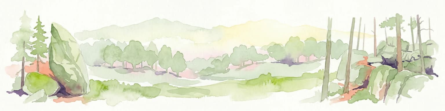
Why Tresticklan National Park stands out

Tresticklan is especially known for its old-growth pine forests on rocky heathland, one of the few remaining such ecosystems in southern Scandinavia. The hällmarkstallskog, heath pine forest growing on exposed granite, dominates the landscape, with sparse, wind-shaped pines and a ground cover of heather and lichens. The park is notable for populations of capercaillie, black grouse, and hazel grouse, characteristic birds of Scandinavian coniferous forests.

Lake surrounded by tall pine trees and dense forest with autumn foliage
Lake Langetjärn surrounded by dense old-growth forest in Tresticklan National Park

Tresticklan National Park history and protected-area timeline

Tresticklan National Park was established in 1996 through the Swedish national park system, representing a relatively recent addition to Sweden's network of protected areas. The establishment of the park was motivated by the recognition that old-growth forests had become extremely rare in southern Scandinavia, with most of the original forest cover having been lost to centuries of logging, agriculture, and land-use changes. The park is managed by Naturvårdsverket, the Swedish Environmental Protection Agency, which oversees the management and conservation of Sweden's national parks. The creation of Tresticklan reflected a broader effort in the late 20th century to protect remaining examples of Sweden's natural heritage, particularly in regions where wilderness areas had become scarce due to the country's long history of forest management and agricultural development.

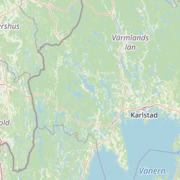
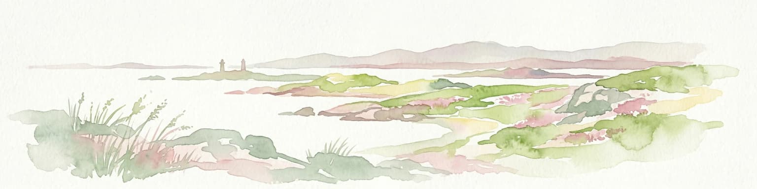
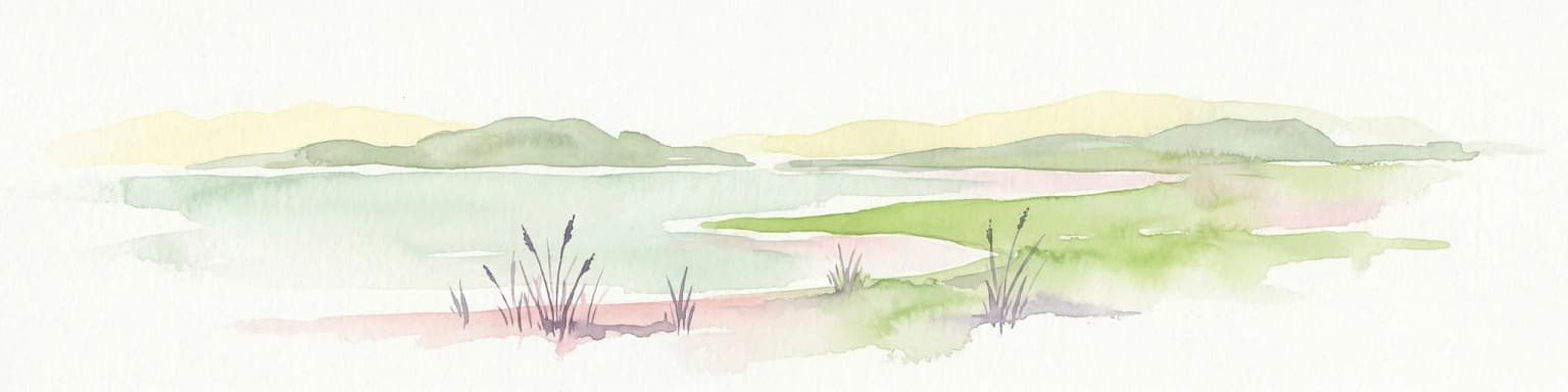
Tresticklan National Park landscape and geographic character

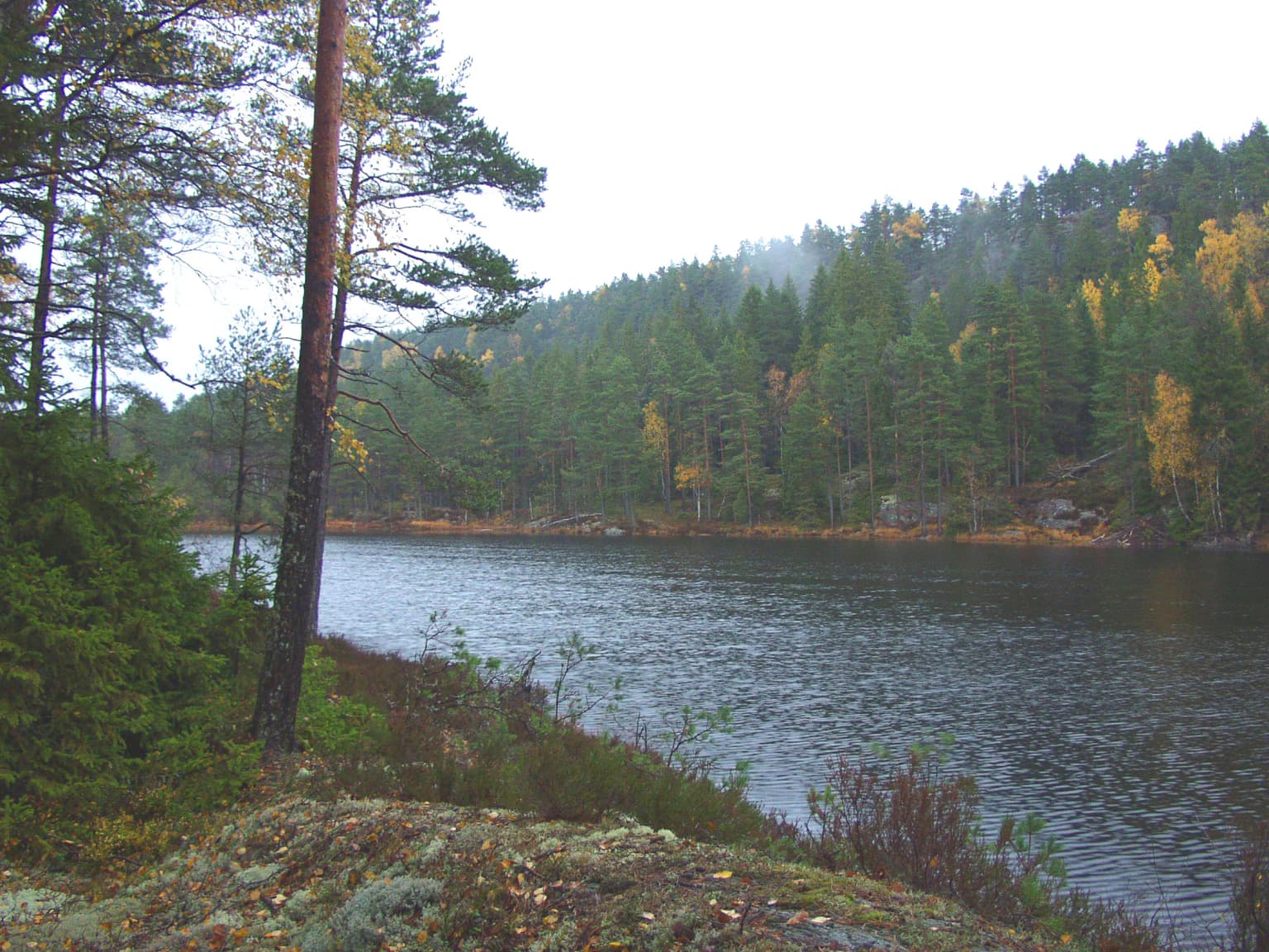
The landscape of Tresticklan National Park is characterized by the fracture valley terrain typical of Dalsland, a region shaped by ancient geological processes that created a pattern of rocky ridges, V-shaped valleys, and numerous lakes. The terrain is dominated by exposed granite bedrock, with thin soils supporting sparse vegetation. The highest point in the park is Orshöjden, rising to 276 meters above sea level. The landscape includes several lakes, with Lake Stora Tresticklan being the most prominent. The combination of bare rock outcrops, pine forests that appear to grow directly from stone, and the valley corridors creates a landscape of stark beauty—a remote forest wilderness quite different from the more cultivated landscapes found in other parts of southern Sweden.

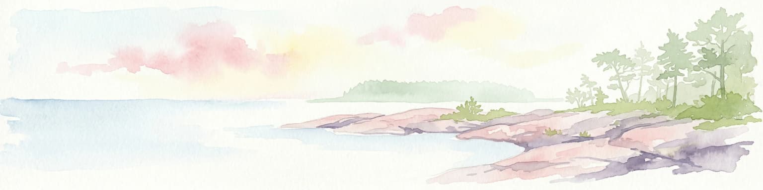
Tresticklan National Park ecosystems, habitats, and plant life

The dominant habitat type in Tresticklan is hällmarkstallskog, or heath pine forest, characterized by open-canopy pine stands growing on thin soils over exposed granite bedrock. These forests have a sparse understory and a ground cover dominated by heather, lichens, and mosses. The flora is relatively species-poor, a characteristic of these harsh, nutrient-poor environments where only the most tolerant species can survive. Despite the limited plant diversity, the forests represent a near-natural state, with old trees, standing deadwood, and fallen logs persisting without significant human intervention. This old-growth character is increasingly rare in southern Scandinavia, making the park an important refuge for forest-dependent species and a valuable example of how these ecosystems function in the absence of active management.

Tresticklan National Park wildlife and species highlights

Tresticklan is home to characteristic species of Scandinavian coniferous forests. The park is particularly known for its populations of capercaillie, black grouse, and hazel grouse—three species of grouse that are typical of old-growth pine forests in the region. These birds require the specific habitat conditions provided by mature pine forest with a structure that includes open canopy, dense cover for nesting, and dead wood for foraging. The presence of these species indicates a relatively intact forest ecosystem. While detailed species lists are not provided in the available sources, the identification of these three grouse species as characteristic of the park suggests a functioning boreal forest bird community.

Tresticklan National Park conservation status and protection priorities

Tresticklan National Park protects one of the few remaining old-growth forest landscapes in southern Scandinavia. In a region where forest cover has been extensively altered by centuries of logging, agriculture, and plantation forestry, the park represents a significant conservation priority. The old-growth forests within the park provide habitat for species dependent on dead wood, veteran trees, and the structural complexity of unmodified forest—conditions that cannot be replicated in managed timber stands. As one of the largest remaining examples of this ecosystem type in southern Sweden, the park serves as a reference area for ecological research and as a reservoir of genetic diversity for forest species.

Top sights and standout views in Tresticklan National Park

Tresticklan stands out as one of the largest and most significant old-growth forest protected areas in southern Scandinavia. The park's rocky pine heaths, mature forest stands, and populations of capercaillie, black grouse, and hazel grouse represent a conservation value that is difficult to replicate elsewhere in this densely populated region of Europe. The park's location along the Norwegian border places it within a larger transboundary forest complex that extends into Østfold, contributing to broader landscape-scale conservation in the region.

Best time to visit Tresticklan National Park

Tresticklan can be visited throughout the year, with the summer months offering the most comfortable conditions for hiking and experiencing the forest landscape. The park's northern latitude and continental climate mean that winter conditions can be severe, while autumn and spring provide transitional seasons with their own particular character. The best time for wildlife observation is during the breeding season when bird activity is highest, though the old-growth forest character can be appreciated in any season.

Park location guide

Geography guide, regional context, and park location map for Tresticklan National Park

Tresticklan National Park park geography, regions, and map view in Sweden
Understand where Tresticklan National Park sits in Sweden through a broader geographic reading of the surrounding landscape, nearby location context, and its mapped position within the national park landscape.

How Tresticklan National Park fits into Sweden

Sweden, formally the Kingdom of Sweden, is a highly developed Nordic country on the Scandinavian Peninsula in Northern Europe. With a population of 10.6 million and an area of 450,295 km², it is the largest Nordic country by both area and population. Sweden is a constitutional monarchy with Stockholm as its capital and largest city, known for its advanced economy, social welfare system, and membership in the European Union and NATO.

Wider geography shaping Tresticklan National Park in Sweden

Sweden occupies the eastern portion of the Scandinavian Peninsula in Northern Europe. It borders Norway to the west and north, Finland to the east, and shares a maritime border with Denmark to the southwest across the Øresund. The country has an extensive coastline along the Baltic Sea and Gulf of Bothnia, dotted with thousands of islands. The terrain varies from mountainous regions in the northwest to low-lying coastal areas and inland lakes in the south and central parts.

Map view of Tresticklan National Park

Use this park location map to pinpoint Tresticklan National Park in Sweden, understand its exact geographic position, and read its mapped placement within the surrounding landscape more clearly.

Pigeon | © OpenStreetMap contributors

Location context for Tresticklan National Park

Västra Götaland County

Browse photos of Tresticklan's unique old-growth pine forests, granite bedrock terrain, and remote Scandinavian wilderness environment.

Visual Exploration of Tresticklan National Park: Landscapes, Scenery, and Protected Forest Habitats
Explore detailed imagery of Tresticklan National Park to understand its distinctive fracture valley terrain, old-growth pine forests, and unique protected ecosystems. These visual references offer clear insights into the park's characteristic hällmarkstallskog landscape and its remote, untouched character in Sweden.

Lake surrounded by tall pine trees and dense forest with autumn foliage

Park atlas

Trace the geographic context of adjacent protected areas, comparing national park features across the Dalsland region and the Norwegian border.

Explore Nearby National Parks: Protected Areas Surrounding Tresticklan National Park
Explore national parks and protected areas geographically adjacent to Tresticklan National Park, encompassing forest reserves and Nordic wilderness across Sweden's Dalsland region. Compare diverse conservation landscapes, trace the regional spread of old-growth forests, and understand broader protected-area geography beyond Tresticklan's unique wilderness.
National parkØstfold

Ytre Hvaler National Park: Norway's Coastal Marine Protected Landscape Atlas

Explore protected archipelago geography and unique cold water coral reefs.

Discover Ytre Hvaler National Park, a pivotal marine protected area on Norway's Østfold coast. This atlas entry provides detailed insight into its defining skerry landscape, the significant Tisler cold water coral reef, and its role as a protected marine ecosystem. Understand the mapped boundaries and geographic context of this unique Norwegian coastal wilderness, crucial for understanding the region's natural and maritime heritage.

Area
354 km²
Established
2009
IUCN
II
National parkVästra Götaland County

Kosterhavet National Park: A Marine National Park Exploring Unique Archipelago Geography

Discover its mapped underwater terrain and rich marine biodiversity.

Kosterhavet National Park, located in Västra Götaland County, is Sweden's first marine national park, dedicated to protecting the unique aquatic environment of the Koster Islands. This protected area is renowned for its exceptional marine biodiversity, including rare cold-water coral reefs and the country's largest seal colony, all situated within a dramatic underwater geography characterized by deep fjords. Use MoriAtlas to explore the mapped extent of this vital marine protected landscape and understand its significant place in regional and national conservation efforts.

Area
388.78 km²
Established
2009
IUCN
II
Visitors
90K annual
Watercolor illustration of a coastal landscape with reeds in shallow water and distant green hills under a pale yellow sky
National parkFærder Municipality

Færder National Park: Norway's Coastal Archipelago & Marine Protected Area Atlas

Explore mapped landscapes and regional geography.

Færder National Park represents a significant protected landscape in Norway, characterized by its extensive marine environment and scattered archipelago. Situated east of Færder Municipality, the park's geography is defined by a mosaic of granite islands, coastal waters, and the iconic Færder Lighthouse. This entry provides atlas-level insight into the park's mapped boundaries, its role as a protected coastal ecosystem, and its contribution to the broader regional geography of Norway's southern coast.

Area
340 km²
Established
2013
IUCN
II
Relief
Lowland
National parkVästra Götaland County

Djurö National Park: Sweden's Lake Archipelago National Park in Västra Götaland County

Mapped island geography and protected aquatic landscapes.

Djurö National Park stands as a singular example of Sweden's protected natural areas, characterized by its unique position as a national park comprising a complete archipelago within Lake Vänern. This page focuses on the geographic identity of Djurö National Park, detailing its island distribution, protected land status, and the distinct landscape it preserves. Users will find context for its place within Västra Götaland County, facilitating an atlas-based understanding of this exceptional aquatic environment and its mapped boundaries.

Area
24 km²
Established
1991
IUCN
II
Relief
Mixed relief
National parkTelemark

Jomfruland National Park: Coastal Archipelago and Skagerrak Marine Atlas

Norway's unique marine-focused national park landscape.

Jomfruland National Park is a significant protected landscape in Telemark, Norway, renowned for its coastal island geography and a landscape predominantly composed of marine waters. Covering 117 square kilometers, this national park emphasizes the conservation of both terrestrial island habitats and the surrounding Skagerrak coastal ecosystem. Explore the park's mapped boundaries and discover its regional geographic context, offering a unique perspective on Norway's protected areas and maritime natural heritage through MoriAtlas.

Area
117 km²
Established
2016
IUCN
II
Scope
Mixed
Watercolor illustration of a forest landscape with rocks, trees, and distant hills
National park

Tiveden National Park: Sweden's Protected Granite Landscape and Ancient Forest

Explore protected wilderness, fracture valleys, and geological heritage.

Tiveden National Park is a protected area in southern Sweden renowned for its ancient forests and rugged granite landscape. The park's terrain features deep fracture valleys, formed by ancient geological events, and stands as one of the last large remnants of older forest in the region. Discover the park's unique topography, mapped boundaries, and its significance as a protected natural landscape for atlas-based exploration.

Area
20.3 km²
Established
1983
IUCN
II
Relief
Mixed relief
Watercolor painting of coastal waters, islands, rocky shore, and distant hills
National parkAgder

Raet National Park: A Coastal National Park Defined by Glacial Moraine Landscape in Agder

Explore Norway's southern coast geography and protected marine area.

Raet National Park offers a profound exploration of Norway's post-glacial landscape, anchored by its namesake 12,000-year-old glacial moraine. This unique protected area, predominantly marine, reveals a striking combination of terrestrial moraine features, extensive pebble beaches, and submerged geological formations. Understanding its mapped boundaries within Agder provides critical context for appreciating this significant coastal protected landscape, its marine ecosystems, and its role in the regional geography.

Area
607 km²
Established
2016
IUCN
II
Relief
Lowland
National parkÖrebro County

Garphyttan National Park: Pioneer Protected Landscape and Historic Swedish Terrain

Explore meadows, forests, and historic geography in Örebro County.

Garphyttan National Park, established in 1909, is a testament to early Swedish nature conservation efforts. This protected landscape features rolling forested terrain and distinctive flower-rich meadows, maintained through traditional practices that highlight Sweden's cultural heritage. Located within Örebro County, the park offers valuable insights into regional geography and the formation of mapped protected areas, making it a key destination for understanding historical landscape preservation.

Area
1.11 km²
Established
1909
IUCN
II
Relief
Lowland

Common questions about visiting, size, designation, and location context for Tresticklan National Park

Tresticklan National Park FAQs for park facts, access, geography, and protected area context
Find quick answers about Tresticklan National Park, including protected-area facts, park geography, trail and visitor context, and how the park fits into its surrounding country and regional landscape.
MoriAtlas Explorer

Continue Your Protected Areas Search Across the Global Atlas

Deepen your exploration by continuing the structured search for national parks and protected areas worldwide. Utilize the comprehensive filtering capabilities to compare different conservation landscapes and refine your understanding of global park geography. Discover more about the distribution and characteristics of protected natural areas.

Global natural geography