Mori Atlas logo
Park earthquake history

Review documentation of seismic events associated by distance with this wilderness region.

Historical Earthquake Records and Recorded Seismic Activity for Tresticklan National Park

This catalogue provides a structured overview of recorded seismic events associated with the geographical area of Tresticklan National Park in Västra Götaland County. Users can examine historical data including dates, magnitudes, and epicentre locations derived from geological records. The information offers an opportunity to review documented seismic activity within the context of the park terrain without implying causation or future risk.

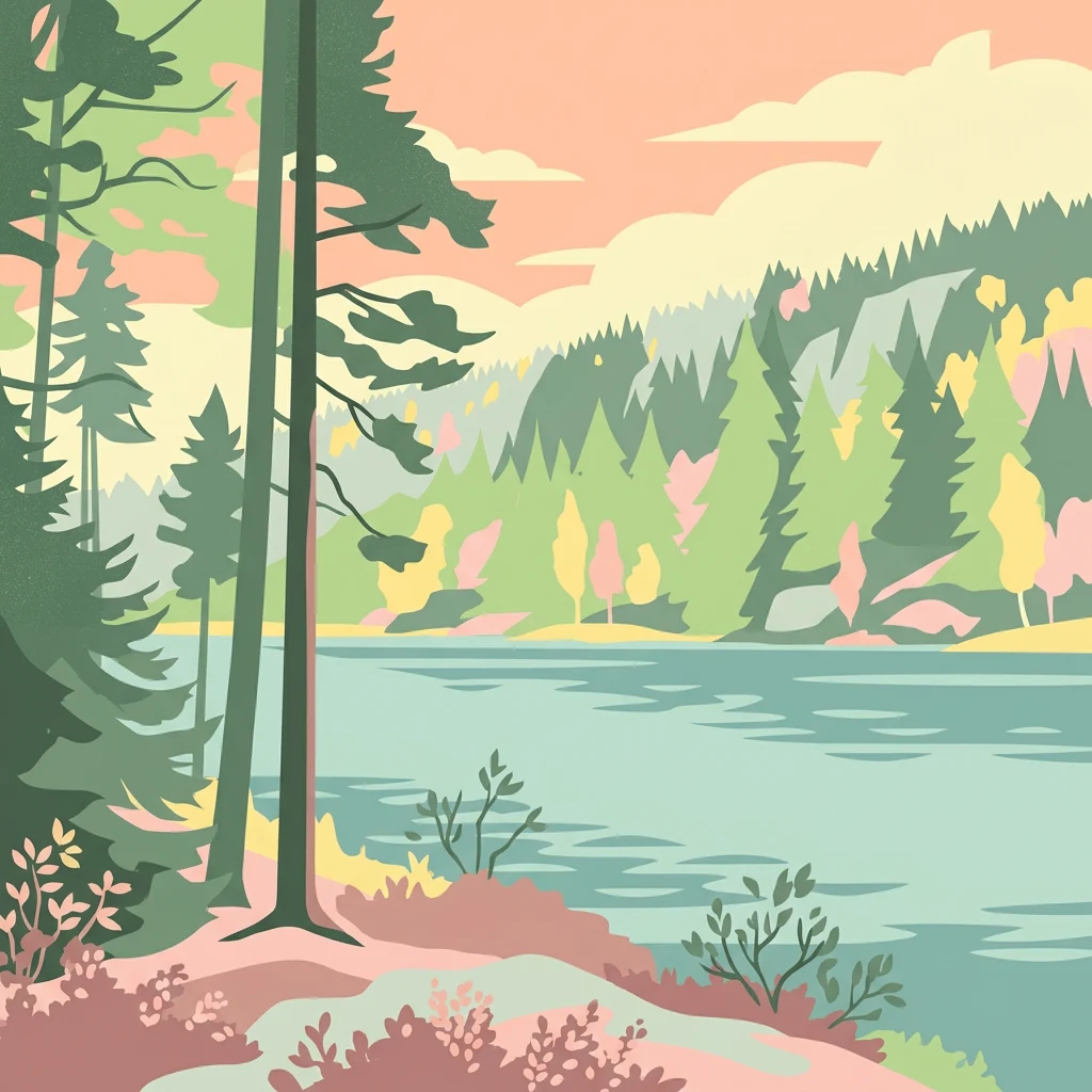
Stylized illustration of a forested lake with tall pine trees, calm water, and rolling hills in the background

One of southern Scandinavia's last old-growth forest wildernesses

Tresticklan National Park

Tresticklan National Park is a protected wilderness area in northwestern Sweden, located in the Dalsland region along the Norwegian border. The park encompasses approximately 29 square kilometers of largely untouched old-growth forest, representing one of the few remaining intact forest landscapes in southern Scandinavia. The name derives from the Swedish word "trestickel," meaning trident, likely referring to the shape of Lake Stora Tresticklan, one of the park's prominent bodies of water. Established in 1996, the park preserves a landscape that has escaped the extensive deforestation and agricultural conversion that has transformed much of southern Sweden over the past centuries. The terrain is characterized by a fracture valley landscape with rocky ridges, sparse pine forests growing on exposed bedrock, and a character of wild, remote forest that is increasingly rare in this populated region of Europe.

Location
Sweden
Park type
National park
Established
1996
Area
29 km²
Highest point
276 m
Tresticklan National Park Protected Landscape

Trace reported locations across upland forest, woodland and lakes

Explore earthquake records around Tresticklan National Park

Investigate earthquake reports around Tresticklan National Park, a 28.97 km² terrestrial upland park with forest, woodland, lakes and minor water presence; results retain reported time, magnitude, depth, locality, source and calculated park separation. Geographic association does not confirm boundary occurrence, woodland or lake effects, current hazard, causation or future events.

Sort by
Magnitude
Location

This page describes catalogued earthquakes associated with the park by epicentre location and distance. It does not establish causation, assess current danger, or predict future earthquakes.

No earthquake records match the current filters

Park atlas

Continue beyond Tresticklan National Park earthquake history

Explore other parks and protected areas after Tresticklan National Park

Continue beyond Tresticklan National Park's earthquake history through a separate group of protected destinations; the Swedish source park covers 28.97 km² of terrestrial upland with minor waters, forest, woodland, lakes, and coniferous habitat. Its facts do not describe the onward cards or establish equivalent status, ecology, location, seismic records, documentation quality, hazard, or risk.
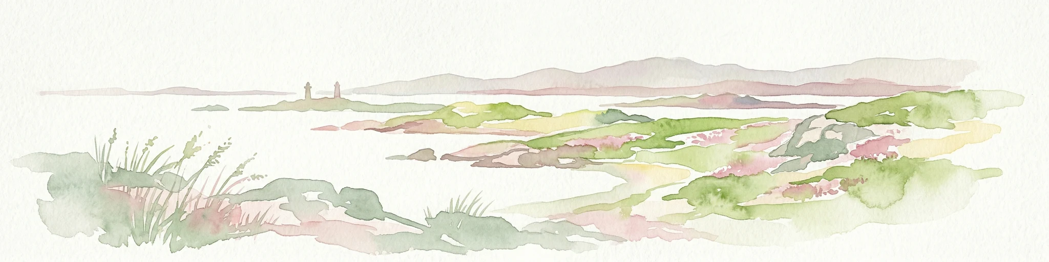
Watercolor illustration of a coastal landscape with islands, grassy areas, and water
National parkVästra Götaland County
34 km away#1 closest

Southwest

Kosterhavet National Park: A Marine National Park Exploring Unique Archipelago Geography

Discover its mapped underwater terrain and rich marine biodiversity.

Kosterhavet National Park, located in Västra Götaland County, is Sweden's first marine national park, dedicated to protecting the unique aquatic environment of the Koster Islands. This protected area is renowned for its exceptional marine biodiversity, including rare cold-water coral reefs and the country's largest seal colony, all situated within a dramatic underwater geography characterized by deep fjords. Use MoriAtlas to explore the mapped extent of this vital marine protected landscape and understand its significant place in regional and national conservation efforts.

Area
388.78 km²
Established
2009
IUCN
II
Visitors
90K annual
National parkØstfold
37 km away#2 closest

West

Ytre Hvaler National Park: Norway's Coastal Marine Protected Landscape Atlas

Explore protected archipelago geography and unique cold water coral reefs.

Discover Ytre Hvaler National Park, a pivotal marine protected area on Norway's Østfold coast. This atlas entry provides detailed insight into its defining skerry landscape, the significant Tisler cold water coral reef, and its role as a protected marine ecosystem. Understand the mapped boundaries and geographic context of this unique Norwegian coastal wilderness, crucial for understanding the region's natural and maritime heritage.

Area
354 km²
Established
2009
IUCN
II
Climate
Temperate
Watercolor illustration of a coastal landscape with reeds in shallow water and distant green hills under a pale yellow sky
National parkFærder Municipality
About 69 km away#3 closest

West

Færder National Park: Norway's Coastal Archipelago & Marine Protected Area Atlas

Explore mapped landscapes and regional geography.

Færder National Park represents a significant protected landscape in Norway, characterized by its extensive marine environment and scattered archipelago. Situated east of Færder Municipality, the park's geography is defined by a mosaic of granite islands, coastal waters, and the iconic Færder Lighthouse. This entry provides atlas-level insight into the park's mapped boundaries, its role as a protected coastal ecosystem, and its contribution to the broader regional geography of Norway's southern coast.

Area
340 km²
Established
2013
IUCN
II
Relief
Lowland
Watercolor painting of a coastal landscape featuring rocky shore, trees, and distant island under pink and blue sky
National parkVästra Götaland County
95 km away#4 closest

East

Djurö National Park: Sweden's Lake Archipelago National Park in Västra Götaland County

Mapped island geography and protected aquatic landscapes.

Djurö National Park stands as a singular example of Sweden's protected natural areas, characterized by its unique position as a national park comprising a complete archipelago within Lake Vänern. This page focuses on the geographic identity of Djurö National Park, detailing its island distribution, protected land status, and the distinct landscape it preserves. Users will find context for its place within Västra Götaland County, facilitating an atlas-based understanding of this exceptional aquatic environment and its mapped boundaries.

Area
24 km²
Established
1991
IUCN
II
Relief
Mixed relief
A watercolor landscape illustration showing a broad river delta with winding waterways, marshy banks, and distant hills.
Nature reserveAkershus
About 100 km away#5 closest

North

Nordre Øyeren naturreservat: Mapped Geography of Norway's Largest Inland Delta

Protected wetland landscapes and river delta terrain in Akershus

The protected land of Nordre Øyeren naturreservat comprises a vast mosaic of mudflats, islands, and river channels formed where three major rivers meet lake Øyeren. This detailed atlas entry explores the geographic significance of the bird's foot delta structure, providing context on its role as a critical inland wetland for migratory waterfowl within the Akershus region.

Area
62.568 km²
Established
1975
Relief
Lowland
Climate
Boreal
National parkTelemark
About 126 km away#6 closest

West

Jomfruland National Park: Coastal Archipelago and Skagerrak Marine Atlas

Norway's unique marine-focused national park landscape.

Jomfruland National Park is a significant protected landscape in Telemark, Norway, renowned for its coastal island geography and a landscape predominantly composed of marine waters. Covering 117 square kilometers, this national park emphasizes the conservation of both terrestrial island habitats and the surrounding Skagerrak coastal ecosystem. Explore the park's mapped boundaries and discover its regional geographic context, offering a unique perspective on Norway's protected areas and maritime natural heritage through MoriAtlas.

Area
117 km²
Established
2016
IUCN
II
Scope
Mixed
Watercolor illustration of a forest landscape with rocks, trees, and distant hills
National parkSweden
162 km away#7 closest

East

Tiveden National Park: Sweden's Protected Granite Landscape and Ancient Forest

Explore protected wilderness, fracture valleys, and geological heritage.

Tiveden National Park is a protected area in southern Sweden renowned for its ancient forests and rugged granite landscape. The park's terrain features deep fracture valleys, formed by ancient geological events, and stands as one of the last large remnants of older forest in the region. Discover the park's unique topography, mapped boundaries, and its significance as a protected natural landscape for atlas-based exploration.

Area
20.3 km²
Established
1983
IUCN
II
Relief
Mixed relief
Watercolor painting of coastal waters, islands, rocky shore, and distant hills
National parkAgder
About 170 km away#8 closest

West

Raet National Park: A Coastal National Park Defined by Glacial Moraine Landscape in Agder

Explore Norway's southern coast geography and protected marine area.

Raet National Park offers a profound exploration of Norway's post-glacial landscape, anchored by its namesake 12,000-year-old glacial moraine. This unique protected area, predominantly marine, reveals a striking combination of terrestrial moraine features, extensive pebble beaches, and submerged geological formations. Understanding its mapped boundaries within Agder provides critical context for appreciating this significant coastal protected landscape, its marine ecosystems, and its role in the regional geography.

Area
607 km²
Established
2016
IUCN
II
Relief
Lowland
MoriAtlas Explorer

Continue Your Atlas Exploration of Tresticklan National Park's Protected Geography

Delve deeper into the structured geographic context and mapped natural landscapes of Tresticklan National Park. Understanding this protected area's place within Västra Götaland County enriches your view of Scandinavian wilderness. MoriAtlas invites you to trace the park's boundaries and appreciate its rare old-growth forest ecosystem from a detailed atlas perspective.