National parkBahamas
About 20 km away#1 closest
Southwest

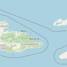
Inagua National Park: Bahamian National Park Geography and Mapped Boundaries
Discover the protected landscape and regional atlas context.
Delve into the specifics of Inagua National Park, a protected national park situated within the Bahamas. This entry focuses on its geographic identity, mapped protected area extent, and its place within the archipelago's broader natural landscape context. Understand the park's structured details and its mapped presence for atlas exploration, providing a foundation for understanding Bahamian conservation lands.
- Area
- 890 km²
- Established
- 1965
- Relief
- Lowland
- Climate
- Tropical