

Streams
Park geography
A structured atlas view of the protected landscape, peaks, and alpine terrain features.
Vanoise National Park Geographic Profile: Boundaries, Elevation and Mountain Terrain
Examine the detailed geographic context of Vanoise National Park located in the Savoie region of France. This profile maps the protected area, featuring an expanse of 534 square kilometers and encompassing significant alpine summits including La Grande Casse and the Aiguille de Péclet within its rugged mountain terrain.
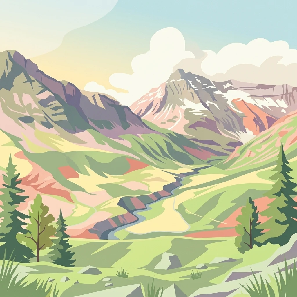
France's first national park protecting Alpine ibex and high-altitude wilderness in the French Alps
Vanoise National Park
Vanoise National Park is France's original national park, established in 1963 in the heart of the French Alps. The park occupies a dramatic landscape of craggy peaks, glacial valleys, and alpine meadows spanning approximately 535 square kilometers in the Savoie department. It sits between the Tarentaise and Maurienne valleys, encompassing the Vanoise massif whose highest summit, Grande Casse, rises to 3,855 meters. The park is renowned for its successful conservation of the Alpine ibex, or bouquetin, which became the park's emblem after being rescued from near extinction in this region. Adjacent to Italy's Gran Paradiso National Park, together these two protected areas form the largest alpine national park in Western Europe, covering over 1,250 square kilometers of contiguous mountain wilderness.
- Location
- France
- Park type
- National park
- Established
- 1963
- Area
- 534 km²
- Highest point
- 3,855 m
Location overview
National and regional position within the Savoie territory
Geographic Setting of Vanoise National Park in France
Vanoise National Park is situated in France within the regional territory of Savoie. Mapping records define the terrestrial reserve as a non-transboundary area with no coastal or marine zones.
- Countries
- France
- Regions
- Savoie
- Primary location
- Savoie
- Geographic setting
- Inland
Boundary and coordinates
Vanoise’s mountain-park boundary covers 534 km²
Vanoise National Park mapped boundary and 534 km² area
Vanoise National Park pairs a mapped outline with its recorded 534 km² extent. Centre, coordinate limits, spans, and perimeter can clarify its dimensions where available, while the geometry remains contextual rather than a legal survey.
- Boundary area
- 534.1 km²
- Boundary perimeter
- 267.1 km
- Northernmost point
- 45.5679° N
- Southernmost point
- 45.2235° N
- Easternmost point
- 7.1806° E
- Westernmost point
- 6.6043° E
- Geographic centre
- 45.3709° N, 6.8508° E
- North–south span
- 38.3 km
- East–west span
- 45.1 km
Elevation and terrain
Mountain relief features and recorded high point metrics
Vanoise National Park Terrain and Elevation Summary
Stored park elevation data details a peak vertical point reaching 3855 meters across the mountain terrain. Recorded natural feature cards display names, types, and spatial relationships found within the protected area.
- Highest point
- 3,855 m
Selected named natural features
Peaks
Aiguille des Aimes
2,812 m
Peaks
Mont Pelve
3,260 m
Glaciers
Glacier Sud de la Gurraz
Mountain saddles
Colle Galisia
2,987 m
Glaciers
Glacier Pers
Environmental setting
Alpine climate zones, montane forests, and steep mountain relief profiles
Vanoise National Park Environmental Settings and Mountain Classifications
Recorded mountain relief, sparse forest cover, and alpine meadow habitats form complementary perspectives on the physical terrain. Stored environmental categories connect directly to related protected-area atlas destinations for further geographic context.
- Relief
- Mountain
- Climate
- Alpine
- Water
- Minor water
- Forest cover
- Sparse forest
Landscape features
Mountains · Cliffs
Habitat types
Alpine meadow · Montane forest
Park atlas
Browse surrounding Alpine protected landscapes, comparing adjacent mountain wilderness areas in France and Italy.
Explore Other National Parks and Protected Areas Near Vanoise National Park
Continue your exploration from Vanoise National Park by discovering other protected areas and national parks across the French Alps and neighboring regions. Compare diverse mountain terrains, glacial landscapes, and high-altitude wildlife conservation efforts to understand broader Alpine geography.
National parkItaly
Park boundaries overlap#1 closest
Northeast

Gran Paradiso National Park: Italy's National Park Protected Landscape Atlas
Mapped boundaries and regional geography for a key Italian protected area.
Gran Paradiso National Park is a distinct national park entity within Italy, offering rich potential for atlas-driven geographic discovery. This MoriAtlas profile focuses on its protected landscape identity, providing essential context for understanding its mapped boundaries and its role within the regional geography of Italy. Explore the structured geographic details that make Gran Paradiso National Park a valuable component of any mapped landscape analysis.
- Area
- 703 km²
- Established
- 1922
- IUCN
- II
- Relief
- Mountain
National parkFrance
26 km away#2 closest
Southwest

Écrins National Park: Alpine Glaciated Terrain and Protected Landscape Details
Mapped boundaries and regional geography of a major French National Park.
Delve into Écrins National Park, a defining national park within the French Alps. This page provides a comprehensive overview of its protected landscape, focusing on its dramatic glaciated terrain, significant peaks such as the Barre des Écrins, and its position within the regional geographic context. Explore the mapped extent and understand the unique alpine environment of this protected area.
- Area
- 925 km²
- Established
- 1973
- IUCN
- II
- Visitors
- 800K annual
Nature reserveSavoie
About 35 km away#3 closest
Northwest
Réserve naturelle régionale de la tourbière des Saisies - Beaufortain - Val d'Arly Protected Area Map
High-altitude peatland geography in the Savoie department.
Investigate the complex topography and conservation significance of the Réserve naturelle régionale de la tourbière des Saisies - Beaufortain - Val d'Arly. This protected area stands as a unique alpine landmark, recognized for its subalpine boreal vegetation, rich bird populations, and critical role as a regional peatland sanctuary within the Savoie mountain range.
- Area
- 2.93 km²
- Established
- 2013
- IUCN
- IV
Nature reserveProvence-Alpes-Côte d'Azur
About 38 km away#4 closest
Southwest
Réserve naturelle régionale des Partias: Alpine Geography and Protected Nature Reserve Data
High-altitude mountain terrain in the southern French Alps
Covering slopes west of Briançon, Réserve naturelle régionale des Partias protects a layered alpine environment ranging from forested basins to rocky crests. This atlas entry provides a detailed geographic overview of the protected area, focusing on its distinctive mountain lakes, diverse soil substrates, and essential role in conserving alpine ecosystems.
- Area
- 8.018 km²
- Established
- 2009
- IUCN
- IV
- Relief
- Mountain
Nature reserveAuvergne-Rhône-Alpes
42 km away#5 closest
Southwest
Réserve naturelle nationale de la haute vallée du Vénéon: Alpine Geography and Protected Boundaries
High-altitude mountain terrain in the French Alps
The Réserve naturelle nationale de la haute vallée du Vénéon occupies 61 hectares of striking alpine terrain near the hamlet of La Bérarde. Its landscape of steep slopes and glacial deposits functions as a key protected buffer zone, supporting diverse flora and fauna within the broader mountainous geography of the Auvergne-Rhône-Alpes region.
- Area
- 0.61 km²
- Established
- 1974
- IUCN
- IV
Nature reservePiemonte
About 44 km away#6 closest
East
Riserva naturale dei Monti Pelati: A Protected Nature Reserve in Northern Italy
Geological landscape context and peridotite terrain in Piemonte.
Riserva naturale dei Monti Pelati is a vital protected area in Italy known for its unusual peridotite bedrock. This ridge provides a stark contrast to the nearby Ivrea Morainic Amphitheater, serving as an essential site for studying specialized flora and the geological history of the Western Alps in the Piedmont region.
- Area
- 1.46 km²
- Established
- 1993
- Relief
- Upland
- Climate
- Temperate
Nature reserveHaute-Savoie
47 km away#7 closest
North
Réserve naturelle nationale du Vallon de Bérard: Geography and Protected Alpine Terrain
High-altitude glacial valleys and crystalline peaks of Haute-Savoie
Situated in the heart of the Aiguilles Rouges massif, Réserve naturelle nationale du Vallon de Bérard preserves a compact mosaic of high-mountain ecosystems. From the Eau de Bérard torrent to the crystalline needles of Aiguille du Belvédère, the reserve provides a protected refuge for alpine species and a rare look at relict glacial landscapes within the French Alps.
- Area
- 5.397 km²
- Established
- 1992
- IUCN
- IV
- Relief
- Mountain
Nature reserveProvence-Alpes-Côte d'Azur
About 53 km away#8 closest
Southwest
Réserve naturelle nationale de la haute vallée de la Séveraisse: Protected Alpine Corridor
High-mountain riverine landscape and buffer zone in Hautes-Alpes
This nature reserve encompasses a 4-kilometer stretch of the upper Séveraisse valley, focusing on alluvial riverbed habitat and peripheral mountain terrain. Located in the French Alps, the reserve provides a protected transition zone characterized by its narrow, U-shaped valley floor and steep rocky inclines, offering a key geographic link to the wider Écrins ecosystem.
- Area
- 1.55 km²
- Established
- 1974
- IUCN
- IV
MoriAtlas Explorer
Continue Your Atlas Exploration of Vanoise National Park's Alpine Geography
Delve deeper into the structured geographic data and mapped landscape of Vanoise National Park. Understand its role as France's first national park and its contiguous protected area connections within the broader alpine atlas. This destination offers crucial context for regional park discovery and the mapping of vital mountain wilderness.
Browse next
Global natural geography
Explore related park routes
Explore MoriAtlas Global ParksBrowse All MoriAtlas ParksGlobal Park Map DiscoveryMoriAtlas: Browse All CountriesBrowse All MoriAtlas ContinentsNational Park Environment AtlasGrand Canyon National Park AtlasYellowstone National Park AtlasYosemite National Park Atlas and GeographySerengeti National Park AtlasGalápagos National Park Protected LandscapeBanff National Park Geography and AtlasKruger National Park Atlas EntryUluṟu-Kata Tjuṯa National Park AtlasExplore Uluru-Kata Tjuta National Park GeographyPlitvice Lakes National Park AtlasFiordland National Park Protected LandscapeGreat Smoky Mountains National Park AtlasAfghanistan National Parks and Protected AreasAlbania National Parks and Protected AreasAlgeria National Parks and Protected AreasAmerican Samoa National Parks and Protected AreasAndorra National Parks and Protected AreasAngola National Parks and Protected AreasAntarctica National Parks and Protected AreasAntigua and Barbuda Park List