Mori Atlas logo
National parkVyzhnytsia National Nature Park

Discover the mapped boundaries and regional terrain of this key protected area in Chernivtsi Oblast.

Vyzhnytsia National Nature Park: National Park Protected Landscape & Geographic Context

(National Nature Park "Vyzhnytsia")

Vyzhnytsia National Nature Park represents a significant protected landscape within Ukraine's Chernivtsi Oblast. This page offers an atlas-driven perspective, detailing the park's mapped boundaries and its place within the broader regional geography. Understand the park's role as a distinct natural entity and explore its surrounding terrain and landscape context, making it a valuable point for structured geographic discovery.

National ParkCarpathian MountainsBeech ForestsFir ForestsUkrainian CarpathiansBukovina

Vyzhnytsia National Nature Park

National park

Park overview

Structured park overview, official facts, and landscape profile for Vyzhnytsia National Nature Park

Vyzhnytsia National Nature Park park facts, protected area profile, and essential visitor context
Review the core facts for Vyzhnytsia National Nature Park, including designation, size, terrain, visitor scale, habitats, and operating context in one park-focused overview.

About Vyzhnytsia National Nature Park

Vyzhnytsia National Nature Park protects a distinctive Carpathian lowland landscape in the historic Bukovina region of southwestern Ukraine. The park's terrain is characterized by soft contours and low mountain ridges with smoothed peak crests, formed primarily from flysch sediments that erode relatively easily. The landscape divides naturally between the eastern Siret River basin, with its broader valleys and more gentle terrain, and the western Cheremosh River basin, which features more intensive dissection, steeper slopes, rock outcrops, and dramatic waterfalls and gorges. Only the Smydovatyi ridge in the southern park reaches middle elevations exceeding 1000 meters above sea level. The park's forests represent the main ecological wealth, covering more than 95 percent of the territory with fir-beech forests predominating. The park sits at the intersection of two geobotanical districts and two floristic regions, creating exceptional ecological diversity. Since its establishment in 1995, the park has operated with 87 employees including scientific and security personnel, working to balance conservation with sustainable use of this Carpathian landscape.

Quick facts and research context for Vyzhnytsia National Nature Park

Vyzhnytsia National Nature Park occupies a transitional zone between the Outer Carpathians and Precarpathian lowlands in Chernivtsi Oblast, southwestern Ukraine. The park covers roughly 79 square kilometers with over 95 percent covered by forests dominated by beech and fir species. The area experiences a temperate continental climate with ample moisture, mild winters, and warm autumns, with notable microclimatic differences between the western Cheremosh River basin and eastern Siret River basin sections. The park supports remarkable biodiversity with 960 vascular plant species, including 40 endangered species listed in Ukraine's Red Book, and 236 bryophyte species. The vertebrate fauna includes 141 bird species and 52 mammal species, with 62 species protected under Ukrainian law and 11 on the European Red List.

Park context

Deeper park guide and search-rich context for Vyzhnytsia National Nature Park

Vyzhnytsia National Nature Park history, landscape, wildlife, and travel context
Explore Vyzhnytsia National Nature Park through its history, landscape character, ecosystems, wildlife, conservation priorities, cultural context, and seasonal travel timing in a structured park guide built for atlas discovery and search intent.

Why Vyzhnytsia National Nature Park stands out

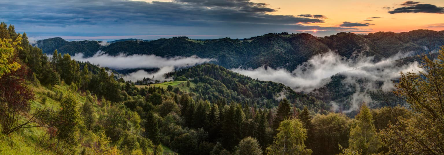
Vyzhnytsia National Nature Park is best known for its extensive beech and fir forests that dominate over 60 percent of its wooded area, creating a characteristic Carpathian lowland forest ecosystem. The park is particularly notable for its population of rare orchids, including Nadborodnyk bezlystyi (nerveless feather moss), one of the rarest orchids in Ukraine with only two known Carpathian locations, both within this park. The western Cheremosh River section features the park's most dramatic landscapes, with steep slopes, scenic cliffs, numerous waterfalls, and gorges. The area is also renowned for its mineral water sources, including the unique "Lawns" springs one of only three such sources in Europe, historically used to treat digestive system disorders and hemophilia.

Vyzhnytsia National Nature Park history and protected-area timeline

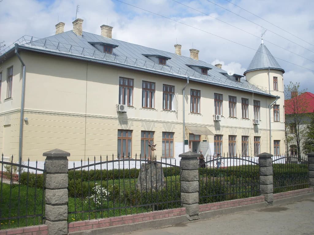
Vyzhnytsia National Nature Park was established on August 30, 1995, as part of Ukraine's expanding network of protected areas following independence. The park was created specifically for the conservation, restoration, and sustainable use of the natural landscapes of the Bukovinian Carpathians, recognizing the region's unique combination of ecological and cultural significance. The park was named after the surrounding Vyzhnytsia region, reflecting the administrative district in which it is situated. The town of Vyžnytsia itself has much older roots, first mentioned in Moldavian chronicles in 1501, when it was already noted for its traditional fairground. The park's administration is headquartered in the town of Berehomet, which contains additional historic churches and cultural monuments. The creation of the park also acknowledged the need to preserve the numerous historical and cultural complexes scattered throughout the Bukovinian landscape, including churches, traditional architecture, and sites connected to prominent Ukrainian cultural figures.

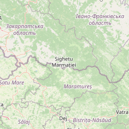
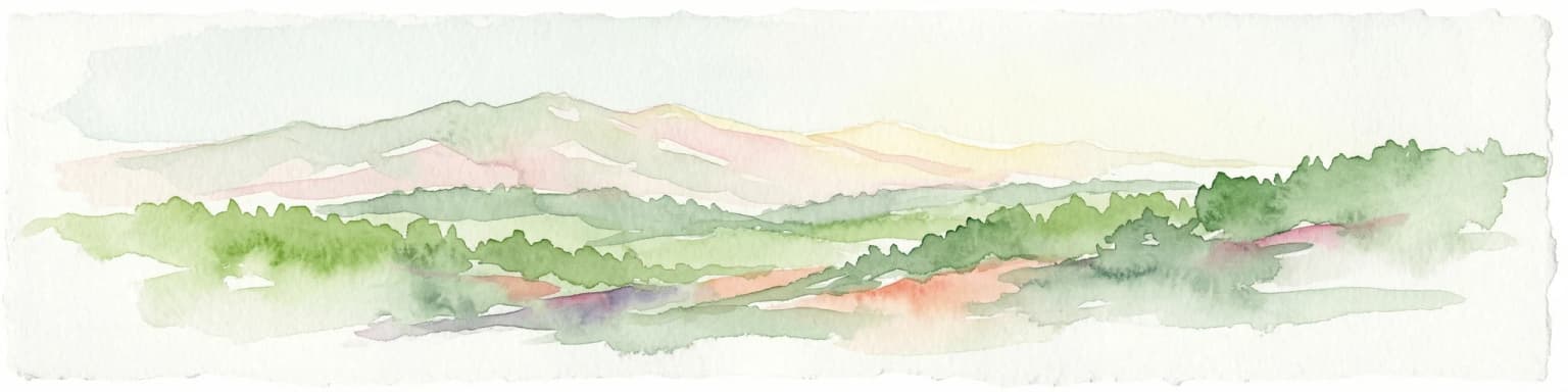
Vyzhnytsia National Nature Park landscape and geographic character

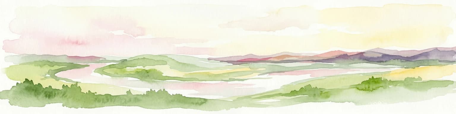
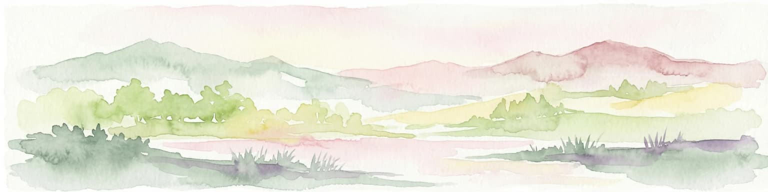
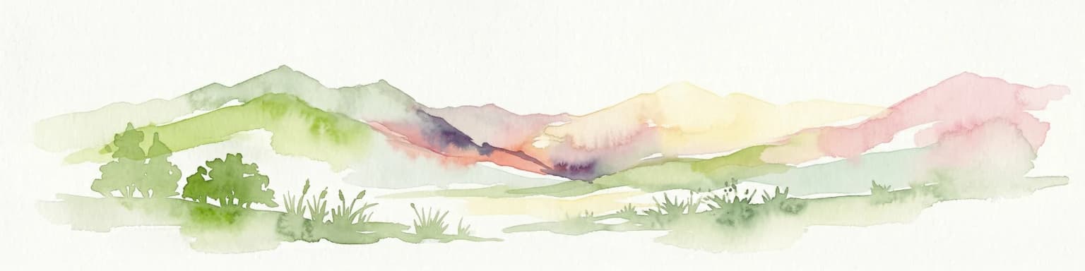
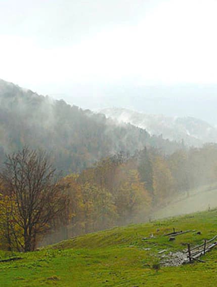
The park's landscape reflects its position at the boundary between the Outer Carpathians and the Precarpathian region, presenting a characteristically lowland Carpathian terrain. The mountain ranges within the park are low with smoothed, rounded peak crests, the result of erosion on easily weathered flysch rock formations. Only the Smydovatyi ridge in the southern portion rises above 1000 meters, qualifying as a middle-elevation mountain. The terrain varies significantly between the two main river basins: the eastern portion where the Siret River flows features broader valleys, more gently contoured ridges, and fewer geological exposures. The western Cheremosh River portion displays much greater topographic dissection, with steep slopes exceeding 45 to 50 degrees in places where sandstone outcrops occur, along with erosional river valleys, occasional landslides, and small scree fields. This western section contains the park's most scenic terrain, including dramatic cliffs, numerous waterfalls, and narrow gorge passages. The landscape diversity is further enhanced by the network of tributaries feeding both major river systems.

Vyzhnytsia National Nature Park ecosystems, habitats, and plant life

The ecological character of Vyzhnytsia National Nature Park is defined by its location at the intersection of two geobotanical districts and two floristic regions, creating a zone of exceptional botanical diversity. The Sheshorsko-Krasnoyilske district features mountain spruce-fir-beech and beech-spruce-fir forests, while the Bolehivsko-Berehomet district contains piedmont fir-beech communities. Forest coverage exceeds 95 percent of the park, with fir-beech forests representing the dominant community and occupying approximately 60 percent of wooded areas. In some locations, beech and fir trees reach heights of 40 meters with trunk diameters of 70 to 90 centimeters. The park supports 960 vascular plant species, including 40 listed in Ukraine's Red Book, and 236 bryophyte species. The orchid family is particularly significant, with the park containing one of only two known locations in the Carpathians for Nadborodnyk bezlystyi, considered one of the rarest orchids in Ukraine. Grasslands occupy relatively small areas on ridge slopes and crests.

Vyzhnytsia National Nature Park wildlife and species highlights

The vertebrate fauna of Vyzhnytsia National Nature Park includes one cyclostomata species, 20 fish species, 12 amphibian species, 7 reptile species, 141 bird species, and 52 mammal species. Of these, 62 species appear in Ukraine's Red Book and 11 are listed on the European Red List, reflecting the park's conservation significance. The mammalian fauna includes typical European forest species such as the edible dormouse, forest dormouse, hazel dormouse, and wildcat, along with typical mountain and boreal species including lynx, brown bear, western capercaillie, boreal owl, and Ural owl. The bird community features white stork and lesser spotted eagle among notable species. Mediterranean-origin species are less common but include fire salamander, European tree frog, and Aesculapian snake. Typical mountain species present include yellow-bellied toad, European rock pipit, and grey wagtail, while boreal elements include western capercaillie and several owl species.

Vyzhnytsia National Nature Park conservation status and protection priorities

Vyzhnytsia National Nature Park serves as an important conservation area within the Ukrainian Carpathians, protecting a distinctive lowland mountain forest ecosystem that faces pressure from surrounding agricultural and developed lands. The park's significance is underscored by the presence of 62 species listed in Ukraine's Red Book and 11 species on the European Red List, demonstrating its role in preserving biodiversity. The rare orchid populations, particularly Nadborodnyk bezlystyi, represent a conservation priority given that only two locations in the entire Carpathian region support this species, both within this park. The forest communities, dominated by beech and fir, represent thermophilic Carpathian forest types that are characteristic of the region's ecological identity. The park's location at the intersection of multiple floristic and geobotanical zones further enhances its conservation value, protecting transitional ecosystems that support species from multiple biogeographic influences.

Vyzhnytsia National Nature Park cultural meaning and human context

The park lies within Bukovina, a historic and ethnographic region renowned for its rich cultural heritage and diverse population traditions. The town of Vyzhnytsia, first documented in Moldavian chronicles of 1501, was historically famous for its traditional fairground and served as a market center for the region. The area is closely associated with major figures of Ukrainian literature and culture, including Yuriy Fedkovych, Lesya Ukrayinka, Ivan Franko, Marko Vovchok, Olga Kobylianska, and Mykhaylo Kotsyubinskyi. The park contains numerous cultural and architectural monuments, including the Dmytrivska and Mykolayivska churches in Vyzhnytsia, a former synagogue that serves as one of the important Hasidic shrines in Ukraine, and the Vyzhnytsia College of Applied Arts (formerly a carving school). Additional monuments include churches with belfries in Berehomet and the village of Vyzhenka, reflecting the region's diverse religious heritage and traditional wooden architecture.

Top sights and standout views in Vyzhnytsia National Nature Park

Vyzhnytsia National Nature Park offers visitors a combination of natural beauty and cultural heritage within the Carpathian lowlands. The western Cheremosh River section provides the most dramatic scenery with steep forested slopes, visible sandstone cliffs, and several waterfalls accessible via restored hiking trails. The park's exceptional botanical value, particularly for rare orchids, makes it significant for nature enthusiasts and researchers. The mineral water resources, especially the unique "Lawns" springs with over 20 therapeutically active trace elements, represent a distinctive resource with historical treatment applications. The environmental education center in Berehomet and the Nature Museum in Zeleniv provide interpretive opportunities. The historic town of Vyzhnytsia itself, with its cultural monuments and connections to Ukrainian literary figures, extends the park's appeal beyond purely ecological tourism.

Best time to visit Vyzhnytsia National Nature Park

The park can be visited throughout the year, with each season offering distinct experiences. Summer and early autumn typically provide the most comfortable conditions for hiking, with warm temperatures and the park's trail network fully accessible. The summer months allow visitors to experience the forest in full leaf and observe wildlife activity. Autumn brings warm, mild weather and offers excellent conditions for viewing the forest as foliage changes color. Winter visits are possible but the park's mountainous character means snow cover varies significantly between northern and southern slopes, with northern slopes retaining thicker snow while southern exposures may be snow-free. The significant microclimatic differences between the western Cheremosh section and eastern Siret section mean that weather conditions can vary noticeably within the park itself, with the Cheremosh portion generally experiencing warmer temperatures.

Park location guide

Geography guide, regional context, and park location map for Vyzhnytsia National Nature Park

Vyzhnytsia National Nature Park park geography, regions, and map view in Ukraine
Understand where Vyzhnytsia National Nature Park sits in Ukraine through a broader geographic reading of the surrounding landscape, nearby location context, and its mapped position within the national park landscape.

How Vyzhnytsia National Nature Park fits into Ukraine

Ukraine is a sovereign nation in Eastern Europe, bordered by Russia, Belarus, Poland, Slovakia, Hungary, Romania, Moldova, and the Black Sea. It is the second-largest country in Europe by area. Kyiv is the capital and largest city, followed by Kharkiv, Odesa, and Dnipro. The official language is Ukrainian. Ukraine has a population of approximately 32.9 million and operates as a unitary semi-presidential republic.

Wider geography shaping Vyzhnytsia National Nature Park in Ukraine

Ukraine occupies 603,628 km² in Eastern Europe, making it the second-largest country in Europe. It shares borders with Russia, Belarus, Poland, Slovakia, Hungary, Romania, and Moldova. The country has a southern coastline along the Black Sea and Sea of Azov. The terrain includes plains, steppes, and the Carpathian Mountains in the west.

Map view of Vyzhnytsia National Nature Park

Use this park location map to pinpoint Vyzhnytsia National Nature Park in Ukraine, understand its exact geographic position, and read its mapped placement within the surrounding landscape more clearly.

Pigeon | © OpenStreetMap contributors

Location context for Vyzhnytsia National Nature Park

Chernivtsi Oblast
Park atlas

Explore the geographic spread of protected landscapes, comparing Carpathian lowland terrain and other natural areas beyond Vyzhnytsia National Nature Park.

Discover Other National Parks and Protected Areas Near Vyzhnytsia National Nature Park, Ukrainian Carpathians
Browse a curated selection of national parks and protected areas located geographically near Vyzhnytsia National Nature Park, covering similar Carpathian lowland terrains and river basins. This contextual view allows for direct comparison of conservation landscapes, mapping the regional spread of protected forests and unique natural features throughout the Bukovina region.
Watercolor illustration of a mountainous landscape with forests, a lake, and distant peaks.
National parkChernivtsi Oblast

Cheremosh National Nature Park: Protected Landscape and Geographic Context in UA

Explore mapped boundaries within Chernivtsi Oblast

Cheremosh National Nature Park represents a vital protected area within Ukraine's Chernivtsi Oblast. This entry offers a structured exploration of the park's geographic identity, focusing on its mapped boundaries and its significance as part of the regional natural landscape. Delve into the terrain and understand how Cheremosh National Nature Park contributes to the mapped geography of western Ukraine, providing a foundation for atlas-based discovery.

Area
71 km²
Established
2009
IUCN
II
Relief
Mountain
National parkVerkhovyna Raion

Verkhovyna National Nature Park: Explore Protected Landscape Geography in Verkhovyna Raion

Discover Ukraine's Verkhovyna National Nature Park mapped terrain.

Verkhovyna National Nature Park represents a vital protected area within the Verkhovyna Raion of Ukraine. This detailed atlas entry focuses on the park's geographic significance, providing insights into its mapped boundaries and its role within the regional landscape context of the Carpathian Mountains. It serves as a focused point for understanding the park's protected status and its place in a structured geographic discovery framework.

Area
120 km²
Established
2010
IUCN
II
Relief
Mountain
National parkIvano-Frankivsk Oblast

Carpathian National Nature Park: Protected Landscape Within Ivano-Frankivsk Oblast

National Park mapped boundaries and regional geography.

Carpathian National Nature Park represents a significant protected area within Ivano-Frankivsk Oblast, Ukraine. This page offers detailed insights into its protected landscape identity, helping users understand its geographic setting and mapped boundaries. As part of the Carpathian region, the park serves as a key point for atlas-based discovery, providing context for its place within the broader geography of western Ukraine.

Area
515.7 km²
Established
1980
IUCN
II
Visitors
1M annual
Watercolor illustration of a winding river through rolling green hills with distant mountains under a soft sky
National parkTernopil Oblast

Dniester Canyon National Nature Park: National Park Protected Landscape and Geographic Context

Mapped boundaries and regional geography in Ternopil Oblast

Delve into the protected landscape of Dniester Canyon National Nature Park, a designated national park in Ukraine. This entry offers a structured view of the park's geographic setting within Ternopil Oblast, focusing on its mapped boundaries and its role as a significant protected natural area. Understand its placement within the broader atlas of Ukrainian natural landscapes and regional geography, offering a factual basis for exploration.

Area
108 km²
Established
2010
IUCN
II
Relief
Mixed relief
Watercolor illustration of a mountainous landscape with rolling hills, a river, and green vegetation
Protected landscapeMaramureș County

Maramureș Mountains Natural Park: Protected Landscape and Carpathian Geography

Explore the mapped boundaries and dramatic terrain of Romania's largest nature park.

Delve into the Maramureș Mountains Natural Park, a protected landscape covering extensive tracts of the northern Carpathian Mountains. This page provides detailed geographic context, showcasing the park's mapped boundaries, diverse alpine terrain, and its role within the broader regional geography of Maramureș County. Understand the natural features and protected area significance of this expansive Carpathian wilderness for structured atlas exploration.

Area
1,488.5 km²
Established
2004
IUCN
V
Relief
Mountain
Watercolor illustration of a mountainous landscape with green hills, trees, and a river valley
National parkUkraine

Khotyn National Nature Park: Ukraine's National Park Atlas and Protected Landscape

Explore geographic boundaries and natural terrain.

Delve into the details of Khotyn National Nature Park, a protected national park situated within Ukraine. This entry offers precise geographic insights, focusing on the park's mapped terrain and its role as a significant protected landscape. Discover the regional context and understand its distinct natural features, providing a structured view for atlas-based exploration of Ukrainian protected areas.

Area
94 km²
Established
2010
IUCN
II
Relief
Mixed relief
National park

Rodna Mountains National Park: Explore Protected Landscape and Geographic Atlas

Discover the mapped terrain and protected area context.

Rodna Mountains National Park represents a key protected landscape within Romania, offering rich opportunities for geographic discovery. This page provides detailed insight into its mapped boundaries and how it integrates into the regional terrain. Delve into the structured atlas data to understand the park's protected area status and its significance within the natural geography.

Relief
Mountain
Scope
Terrestrial
National parkIvano-Frankivsk Oblast

Syniohora National Nature Park: Protected Carpathian Landscape and Geographic Context

Explore the mapped terrain and protected area boundaries within the Gorgany mountains.

Syniohora National Nature Park, located in Ivano-Frankivsk Oblast, is a vital protected area safeguarding a significant portion of the Gorgany mountain massif. This park offers a unique opportunity to explore the mapped geography and natural landscape characteristic of the Ukrainian Carpathians. Its establishment as a national park underscores the importance of preserving the region's mountain terrain, protected forest ecosystems, and distinctive natural heritage for structured geographic discovery.

Area
108.66 km²
Established
2009
IUCN
II
Scope
Terrestrial

Common questions about visiting, size, designation, and location context for Vyzhnytsia National Nature Park

Vyzhnytsia National Nature Park FAQs for park facts, access, geography, and protected area context
Find quick answers about Vyzhnytsia National Nature Park, including protected-area facts, park geography, trail and visitor context, and how the park fits into its surrounding country and regional landscape.
MoriAtlas Explorer

Continue Your Protected Areas Search Across the Global Atlas

Deepen your exploration by continuing the structured search for national parks and protected areas worldwide. Utilize the comprehensive filtering capabilities to compare different conservation landscapes and refine your understanding of global park geography. Discover more about the distribution and characteristics of protected natural areas.

Global natural geography