Mori Atlas logo
Park earthquake history

Review documented seismic events by date, magnitude, depth, and epicentre distance from park boundaries.

Historical Catalogue of Recorded Earthquakes Near Waychinicup National Park in Western Australia

This historical archive tracks recorded seismic events associated with the coastal landscape and deeply-incised valleys of Waychinicup National Park. The data includes specific earthquake records derived from USGS sources, detailing the proximity of epicentres to the protected area. Use these documented metrics to understand the regional history of seismic activity surrounding this significant sanctuary for rare marsupials and avian species.

Related tags

Coastal protected areaMarsupial sanctuaryEndangered species habitatImportant Bird AreaWestern Australian national park

Coastal wilderness protecting rare marsupials and endangered birds in southern Western Australia

Waychinicup National Park

Waychinicup National Park is a coastal protected area in southern Western Australia, situated approximately 65 kilometres east of Albany along the rugged shoreline of the Southern Ocean. The park covers 39.82 square kilometres and was established in 1990 under IUCN Category II protection. It encompasses a diverse landscape of dramatic coastline between Normans Beach and Cheynes Beach, boulder-strewn hilltops, and tree-filled deeply-incised valleys carved by freshwater streams flowing toward the coast. The park holds exceptional conservation significance as a refuge for some of Australia's rarest marsupials, including one of the few remaining mainland populations of quokkas and a critically important insurance population of Gilbert's potoroo. Its avian fauna is equally remarkable, supporting critically endangered species such as the noisy scrubbird and vulnerable western bristlebird within the broader Two Peoples Bay and Mount Manypeaks Important Bird Area.

Location
Australia
Park type
National park
Established
1990
Area
39.8 km²
Waychinicup National Park protected area

Trace reported epicentres across hills, valleys, forest, rivers, coast and beach

Investigate earthquake observations around Waychinicup National Park

Explore earthquake records around Waychinicup National Park, a 39.82 km² mixed-scope park with mixed relief and major water across hills, valleys, forest, rivers, coast and beach; compare reported time, magnitude, depth, locality and park separation. Geographic association does not confirm boundary occurrence, coastal or river effects, current danger, seismic cause or future events.

Sort by
Magnitude
Location

This page describes catalogued earthquakes associated with the park by epicentre location and distance. It does not establish causation, assess current danger, or predict future earthquakes.

No earthquake records match the current filters

Park atlas

Continue beyond Waychinicup National Park earthquake history

Explore other parks and protected areas after Waychinicup National Park

Move beyond Waychinicup National Park's earthquake section through an independent set of protected-place profiles; the source is a 39.82 km² mixed-scope park in Australia with mixed relief, major waters, hills, valleys, forest, rivers, coast, beaches, and marine context. The onward cards make no claim of shared park status, landscape, ecology, seismic evidence, geographic closeness, or danger.
National parkWestern Australia
7.7 km away#1 closest

North

Hassell National Park National Park: Mapped Protected Landscape in Western Australia

Explore the geographic identity and park boundaries of Hassell National Park.

Hassell National Park offers a focused view of protected natural landscapes within Western Australia. This atlas entry details the park's specific geographic scope and its designation as a national park, providing essential context for understanding its mapped features and regional landscape. Explore how Hassell National Park contributes to the protected area geography of the state.

Area
12.65 km²
Established
1971
IUCN
II
Scope
Mixed
National parkWestern Australia
17 km away#2 closest

Southwest

Gull Rock National Park: Protected Landscape and Geographic Atlas Exploration

Discover mapped boundaries and natural terrain in Western Australia.

Gull Rock National Park serves as a key protected area for exploring the geographic diversity of Western Australia. As a national park, it offers a focal point for understanding mapped landscape features, conservation boundaries, and the unique natural terrain of the region. This entry provides essential context for atlas-based discovery of protected lands across Australia.

Area
21.04 km²
Established
2006
IUCN
II
Relief
Lowland
National parkWestern Australia
26 km away#3 closest

Southwest

Torndirrup National Park National Park: Mapped Boundaries and Regional Landscape Context

Explore protected lands within Western Australia's geography.

Torndirrup National Park serves as a significant protected natural area, offering valuable insights into the geographic character of Western Australia. This detailed entry focuses on its mapped boundaries and its role as a protected landscape, providing essential context for atlas-based exploration of Australia's diverse regions and natural terrains.

Area
39.36 km²
Established
1918
IUCN
II
Visitors
250K annual
National parkWestern Australia
32 km away#4 closest

Northwest

Porongurup National Park: Ancient Granite Peaks and Karri Forest Protected Landscape

Mapped terrain and geologic history in Western Australia.

Delve into Porongurup National Park, a protected landscape in Western Australia characterized by its ancient, billion-year-old granite peaks and a rare outlier of towering karri forest. This national park offers a unique geographic perspective, showcasing dramatic mountain terrain that has stood for eons. Explore the mapped boundaries and the distinct ecosystems that thrive within this ancient mountain system, providing rich context for regional atlas discovery and understanding the park's geological significance.

Area
26.21 km²
Established
1971
IUCN
II
Relief
Mountain
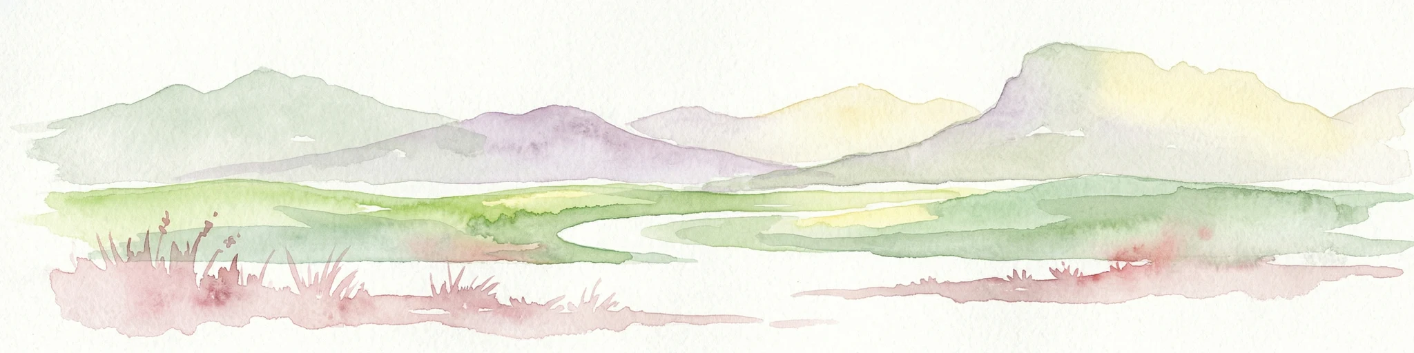
Watercolor illustration showing a landscape with mountains, a winding river, and grassy fields.
National parkWestern Australia
37 km away#5 closest

Northwest

Stirling Range National Park: National Park Protected Area and Geographic Mapping

Discover its mapped boundaries and regional landscape context.

Stirling Range National Park is a protected national park in Western Australia, offering critical insights into regional geography and landscape mapping. This page provides structured information on the park's protected area status, its geographic setting, and its value for atlas-based exploration. Understand the extent of its mapped boundaries and discover its unique natural terrain within the broader context of Western Australia's vast geography.

Area
1,159.2 km²
Established
1913
IUCN
II
Relief
Mountain
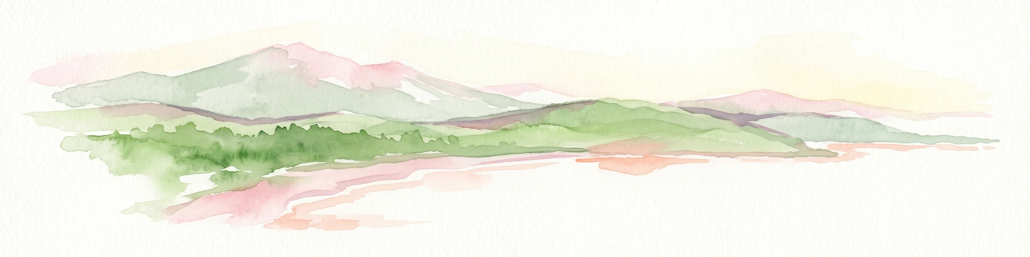
Watercolor illustration of rolling hills, mountains, and a coastal body of water
National parkWestern Australia
54 km away#6 closest

West

West Cape Howe National Park: Western Australia's Southernmost Coastal Protected Landscape

Explore dramatic sea cliffs, ancient karri forests, and Torbay Head.

West Cape Howe National Park offers a distinct protected landscape experience in Western Australia, highlighted by its position at mainland Australia's southernmost point, Torbay Head. This park showcases a rugged 23-kilometer stretch of the Southern Ocean coastline, featuring towering sea cliffs that descend to pristine beaches and rocky shores. Inland, visitors find ancient karri forests and diverse vegetation types, contributing to a rich mosaic of protected habitats. Its geographic significance and unique coastal terrain make it a key destination for understanding regional protected area geography.

Area
36.05 km²
Established
1985
IUCN
II
Relief
Lowland
Nature reserveWestern Australia
About 56 km away#7 closest

North

Yarrabee Wesfarmers Reserve: Mapping Woodland Conservation and Regional Geography

A vital protected nature reserve in Western Australia

Yarrabee Wesfarmers Reserve forms a significant link in the regional landscape of Western Australia, protecting marri and jarrah woodland adjacent to the Stirling Range. Through ongoing restoration, the area maintains a mosaic of mallee and Banksia habitats, supporting regional species and contributing to broader environmental connectivity.

Area
9.23 km²
Established
2006
Relief
Upland
Climate
Mediterranean
National parkGreat Southern
58 km away#8 closest

West

Mount Lindesay National Park: Australian National Park Protected Landscape Details

Explore mapped boundaries and regional geographic context in Great Southern.

Gain a structured understanding of Mount Lindesay National Park, a designated national park in Australia's Great Southern region. This detail view focuses on its protected landscape identity, mapped geographic features, and its place within the nation's network of conservation areas. Discover the specific terrain and regional atlas context that makes this park a distinct element of Australia's natural geography.

Area
395.73 km²
Established
2004
IUCN
II
Relief
Mountain
MoriAtlas Explorer

Continue Exploring Waychinicup National Park's Mapped Geography and Landscape Context

Deepen your understanding of Waychinicup National Park by exploring its specific mapped boundaries and regional geographic setting. This entry provides foundational atlas context for understanding its protected landscape identity within Western Australia. Continue your discovery of this national park's unique terrain and its contribution to the state's protected areas.