
Mori Atlas logo
Nearby park discovery

Regional geography and mapping of protected areas surrounding the Sierra Nevada range

National Parks and Protected Landscapes Located Near Yosemite National Park, California

Trace the geographic distribution of protected lands and national parks situated within the vicinity of Yosemite National Park. This regional overview provides a spatial perspective on the Sierra Nevada and adjacent natural landscapes, offering a clear map-based context for comparing terrain characteristics and protected area proximity.

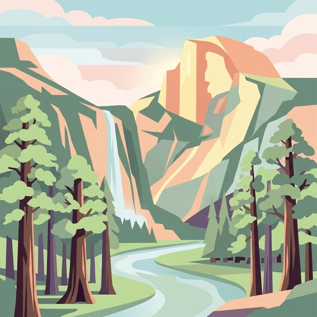
Stylized illustration of a mountain with a waterfall, forest, and river in a scenic landscape

Iconic Sierra Nevada wilderness of granite cliffs, waterfalls, and ancient giant sequoia groves

Yosemite National Park

Yosemite National Park is a premier protected area in the central Sierra Nevada mountain range of California, spanning approximately 1,187 square miles across Tuolumne, Mariposa, Mono, and Madera counties. The park is internationally renowned for its dramatic granite cliffs, spectacular waterfalls, clear streams, ancient giant sequoia groves, and remarkable biological diversity. Designated a UNESCO World Heritage Site in 1984, Yosemite represents one of the largest and least fragmented habitat blocks in the Sierra Nevada, with nearly 95 percent of its terrain designated as wilderness. The park's geological character is defined by granite formations sculpted by Pleistocene glaciers, which transformed ancient river-cut V-shaped valleys into the iconic U-shaped canyons visible today. Yosemite played a foundational role in the development of the national park concept in the United States, beginning with the Yosemite Grant of 1864, signed by President Abraham Lincoln, which was the first instance of land being set aside specifically for preservation and public use by the federal government.

Location
United States of America
Park type
National park
Established
1890
Area
3,070 km²
Highest point
4,000 m
Yosemite National Park Atlas and Geography
Regional park map

See the ranked park cluster in its geographic setting

Nearby parks around Yosemite National Park

This regional map shows the same 20 nearby parks ranked below around Yosemite National Park. Select a ranked marker to highlight that park’s boundary where boundary data is available.
Reference park: Yosemite National ParkRanked nearby parkSelected boundary: Yosemite National Park20 nearby parks shown
20 nearby parks

Comparing adjacent wilderness preserves and regional park geography by geographic distance.

Exploring National Parks and Nearby Protected Areas Around Yosemite National Park

Boundary-based geographic measurements reveal a ranked collection of national parks and public reserves situated near Yosemite National Park. Comparing surrounding landscapes by proximity and regional terrain highlights how different environmental zones and conservation practices spread across the wider mountain range.
National parkCalifornia
61 km away#1 closest

Southeast

Kings Canyon National Park National Park: California Protected Landscape & Geography Atlas

Mapped park boundaries and regional natural context.

Kings Canyon National Park stands as a key protected national park within California, offering a specific focus for geographic understanding and atlas-based exploration. This page details the park's mapped boundaries and its integration into the broader regional geography of California. For users interested in the distribution of protected lands and the mapping of natural landscapes, Kings Canyon National Park provides a crucial point of study within the comprehensive park atlas.

Area
1,869.25 km²
Established
1890
IUCN
II
Visitors
641K annual
National parkCalifornia
110 km away#2 closest

Southeast

Sequoia National Park National Park: Geographic Identity and Protected Landscape Atlas

Explore mapped boundaries and the terrain of this California protected area.

Gain a structured understanding of Sequoia National Park as a protected landscape, focusing on its mapped geographic boundaries and its context within California. This entry provides foundational data for exploring the park's natural terrain and its role in a broader atlas of conservation lands, ideal for users seeking detailed geographic information.

Area
1,635.19 km²
Established
1890
IUCN
II
Visitors
1.2M annual
National parkCalifornia
125 km away#3 closest

Southeast

Death Valley National Park: Exploring California's Mapped Protected Landscape

View the geographic boundaries and desert terrain.

Access a detailed atlas perspective of Death Valley National Park, a protected national park situated in California. Understand the park's distinct mapped boundaries and its role within the regional geography. This resource highlights the unique desert landscape, offering focused insights into its protected-area identity and natural terrain for geographic discovery.

Area
13,848.4 km²
Established
1994
IUCN
II
Visitors
1.1M annual
National parkCalifornia
169 km away#4 closest

Southwest

Pinnacles National Park: California National Park Geographic Discovery and Map Context

Explore unique protected landscape and regional terrain.

Delve into the protected landscape of Pinnacles National Park, a significant natural area within California. This page offers an atlas-centered view of its unique geological formations and mapped terrain, providing essential context for understanding its geographic identity. Explore the park's specific landscape characteristics and its relation to the broader regional geography and protected areas.

Area
107.67 km²
Established
2013
IUCN
II
Visitors
275K annual
National parkCalifornia
286 km away#5 closest

Northwest

Lassen Volcanic National Park: Protected Landscape Identity and Geographic Context

Discover the mapped boundaries and natural terrain of this California national park.

Gain a structured understanding of Lassen Volcanic National Park as a protected landscape. This detail page provides essential geographic context, focusing on the park's mapped boundaries and its specific terrain characteristics within California. It is designed for users seeking detailed information about the park's protected status and its placement within the broader atlas of natural areas, emphasizing its unique geographic identity and conservation significance.

Area
430.8 km²
Established
1916
IUCN
II
Visitors
504.8K annual
National parkCalifornia
361 km away#6 closest

South

Channel Islands National Park: A Protected Landscape within California's Geography

Explore its unique mapped terrain and protected area context.

Channel Islands National Park stands as a key protected area, providing critical insight into California's unique geographic features and natural landscapes. This entry focuses on the park's identity as a protected entity, detailing its mapped boundaries and the surrounding regional geography. It offers an atlas-level view, essential for understanding the park's contribution to the broader landscape context of the United States and its conservation importance.

Area
1,009.94 km²
Established
1980
IUCN
II
Visitors
323.2K annual
National parkNevada
440 km away#7 closest

East

Great Basin National Park: Nevada's Protected National Park Geography and Map Details

Understanding its mapped boundaries and regional context.

Delve into the protected landscape of Great Basin National Park, a significant national park located in Nevada. This entry focuses on the park's geographic attributes, providing users with essential map context, details on its protected area boundaries, and an understanding of its place within the broader regional geography. It serves as a focused resource for exploring the park's unique natural terrain and landscape characteristics through an atlas-driven lens.

Area
312.3 km²
Established
1986
IUCN
II
Visitors
144.9K annual
National parkCalifornia
468 km away#8 closest

Southeast

Joshua Tree National Park: Mapped Protected Landscape and Regional Geography in California

Explore unique park boundaries and natural terrain across Southern California.

Joshua Tree National Park is a vital protected area in California, known for its distinctive natural landscape and geographic setting. This entry provides detailed information on the park's mapped boundaries and the unique terrain it encompasses, serving as a key point for atlas exploration of protected lands. Understand the regional geography and the specific character of this significant national park.

Area
3,217.9 km²
Established
1994
IUCN
II
Visitors
3.1M annual
National parkCalifornia
481 km away#9 closest

Northwest

Redwood National and State Parks: Protected Landscape Geography and Mapped Boundaries

Explore California's protected area atlas.

Gain a structured understanding of Redwood National and State Parks as a protected national park within the geographic context of California. This dedicated page focuses on its mapped boundaries and protected landscape identity, offering critical atlas-level insights for regional geography exploration and conservation land context. Discover how this protected area fits into the larger mapped terrain.

Area
562.88 km²
Established
1968
IUCN
V
Visitors
458.4K annual
National parkArizona
501 km away#10 closest

East

Grand Canyon National Park: Arizona National Park Protected Landscape & Geography

Explore mapped boundaries and regional atlas context.

Grand Canyon National Park stands as a premier national park, showcasing a unique protected landscape within Arizona's diverse geography. This detailed entry focuses on the park's specific geographic identity, its mapped boundaries, and its significance within the regional atlas. Discover the contours of this protected area and its place in the natural terrain of the American Southwest.

Area
4,926.08 km²
Established
1919
IUCN
II
Visitors
4.9M annual
National parkUtah
529 km away#11 closest

East

Zion National Park National Park: Detailed Mapped Geography and Protected Landscape Identity

Explore the mapped terrain and regional context of this Utah national park.

Zion National Park represents a key protected area within Utah, ideal for detailed geographic exploration. This canonical page offers insights into the park's specific mapped boundaries, its inherent landscape character, and its regional geographic setting. It is designed for users seeking to understand the atlas-level significance of Zion National Park as a national park entity, focusing on its protected terrain and natural geography.

Area
593.26 km²
Established
1919
IUCN
II
Visitors
4.9M annual
National parkOregon
550 km away#12 closest

North

Crater Lake National Park: Oregon National Park Atlas of Volcanic Landscapes

Explore mapped boundaries and unique caldera geography.

Crater Lake National Park represents a significant protected area within Oregon, defined by the dramatic volcanic caldera it contains. This national park is celebrated for its exceptionally deep, clear blue lake, formed by the collapse of Mount Mazama, offering a unique subject for geographic and landscape study. Users can explore its mapped boundaries and understand its position within the broader atlas of protected lands and mountainous terrain of the Cascade Range.

Area
741.48 km²
Established
1902
IUCN
II
Visitors
527K annual
National parkUtah
612 km away#13 closest

East

Bryce Canyon National Park: Utah's Mapped Protected Landscape and Geographic Context

Explore the unique geology and protected boundaries of Bryce Canyon National Park.

Bryce Canyon National Park offers a distinct protected landscape within the geography of Utah, characterized by its unique geological formations. This entry provides essential context for understanding its mapped boundaries and natural terrain, serving as a vital component for atlas-based discovery of protected areas. Investigate the specific geographic setting and conservation significance of this iconic national park.

Area
145.02 km²
Established
1928
IUCN
II
Visitors
2.5M annual
National parkUtah
684 km away#14 closest

East

Capitol Reef National Park: Utah National Park Protected Landscape and Geography

Explore Capitol Reef National Park's mapped terrain and boundaries.

Delve into the protected landscape and geographic identity of Capitol Reef National Park, a key national park in Utah. This resource provides detailed context on its mapped terrain and regional setting, supporting a structured understanding of protected areas for atlas exploration. Discover the specific geographic features and park boundaries that define this protected natural area.

Area
978.95 km²
Established
1971
IUCN
II
Visitors
1.4M annual
National parkEnsenada Municipality
About 685 km away#15 closest

Southeast

Constitution 1857 National Park National Park: Mapped Protected Landscape Discovery

Geographic context and park boundaries for Ensenada Municipality.

Delve into the protected landscape of Constitution 1857 National Park, a key national park entity located in the Ensenada Municipality. This resource highlights the park's distinct geographic features and mapped protected area, crucial for atlas exploration and understanding the regional natural terrain. Gain structured insight into the park's identity and its role within the wider geographic context.

Area
50.09 km²
Established
1962
IUCN
II
Relief
Mountain
National parkUtah
788 km away#16 closest

East

Canyonlands National Park: A Mapped Protected Landscape in Utah's Geography

Explore its vast geography and protected area boundaries.

Canyonlands National Park stands as a significant protected entity within the state of Utah, characterized by its immense scale and dramatic geological formations. This page facilitates an atlas-style exploration of its terrain, emphasizing its mapped boundaries and its crucial role as a protected landscape. Gain a deeper appreciation for its unique geographic setting and its place within the broader regional context.

Area
1,366.21 km²
Established
1964
IUCN
II
Visitors
818.5K annual
Watercolor painting of a mountainous landscape with pine trees, rolling hills, and a pastel sky
National parkBaja California
About 819 km away#17 closest

Southeast

Sierra de San Pedro Mártir National Park: Protected Landscape and Geographic Exploration

National park boundaries and natural terrain in Baja California.

Sierra de San Pedro Mártir National Park is a vital protected landscape situated in Baja California. This destination offers users a focused atlas exploration of its national park status, detailing its geographic setting and mapped protected area. Understand the park's specific place within the region, examining its natural terrain and boundaries for a clear geographic context, essential for any structured discovery of Mexico's conserved lands.

Area
729.09 km²
Established
1947
IUCN
II
Relief
Mountain
National parkUtah
835 km away#18 closest

East

Arches National Park: Utah National Park Protected Landscape Exploration

Explore mapped terrain and geographic context.

Delve into the specifics of Arches National Park, a protected national park located in Utah. This atlas-focused entry provides detailed insight into the park's protected landscape features and geographic distribution. Understand the mapped park boundaries and the unique natural terrain that shapes this significant conservation area within the United States' broader regional geography.

Area
310.31 km²
Established
1971
IUCN
II
Visitors
1.5M annual
National parkNavajo County
881 km away#19 closest

East

Petrified Forest National Park: National Park Protected Landscape and Geographic Atlas

Explore its mapped terrain and regional park context.

Petrified Forest National Park represents a significant protected landscape within Navajo County, Arizona, offering focused insights into its unique terrain and geographic distribution. As a national park, it provides valuable data for understanding mapped park boundaries, regional landscape context, and its role within the broader atlas of protected areas. Discover the specific geographic features and natural identity that define this unique natural reserve.

Area
895.94 km²
Established
1962
IUCN
II
Visitors
644.9K annual
National parkUnited States of America
936 km away#20 closest

Northeast

Grand Teton National Park: Protected Landscape and Geographic Atlas Exploration

Explore the mapped terrain and regional park geography.

Grand Teton National Park is a protected landscape offering rich geographic discovery opportunities within the United States of America. This detailed entry facilitates an atlas-style exploration of its mapped boundaries, the surrounding regional geography, and its identity as a significant national park. Understand the specific landscape context and discover its placement within the broader natural terrain of North America.

Area
1,300 km²
Established
1929
IUCN
II
Visitors
2.8M annual
Distance methodology

Geographic measurements, not driving distances

How nearby park distances are calculated

Distances use park boundaries whenever the available geometry allows it. When one or both boundaries are missing, the mapped park locations provide a clearly labelled estimate. Every value represents straight-line geographic separation and does not use roads or routing.

Boundary distance

Calculated between the nearest points of both park boundaries.

Location-to-boundary estimate

Estimated from one mapped park location to the nearest boundary of the other park.

Mapped-location estimate

Estimated between the mapped locations of both parks.

MoriAtlas Explorer

Continue Exploring Yosemite National Park's Protected Landscape and Geography

Deepen your understanding of Yosemite National Park's role as a mapped protected landscape within California. This atlas view allows for focused study of its geographic features and regional distribution, providing crucial context for further protected-area exploration and geographic analysis.
