Mori Atlas logo
Park earthquake history

Review documented seismic events by date, depth, and distance from this alpine summit region.

Zirbitzkogel Historical Earthquake Catalogue and Recorded Regional Seismic Activity Archive

Explore a comprehensive historical catalogue of recorded seismic events associated by proximity to Zirbitzkogel in the Seetal Alps. This collection organizes earthquake data including magnitude, epicentre location, and temporal information to support objective analysis of regional geological history. Records are associated by distance from the protected area boundaries, providing a clear reference for geological researchers and atlas users interested in the seismic context of Styrian alpine landscapes.

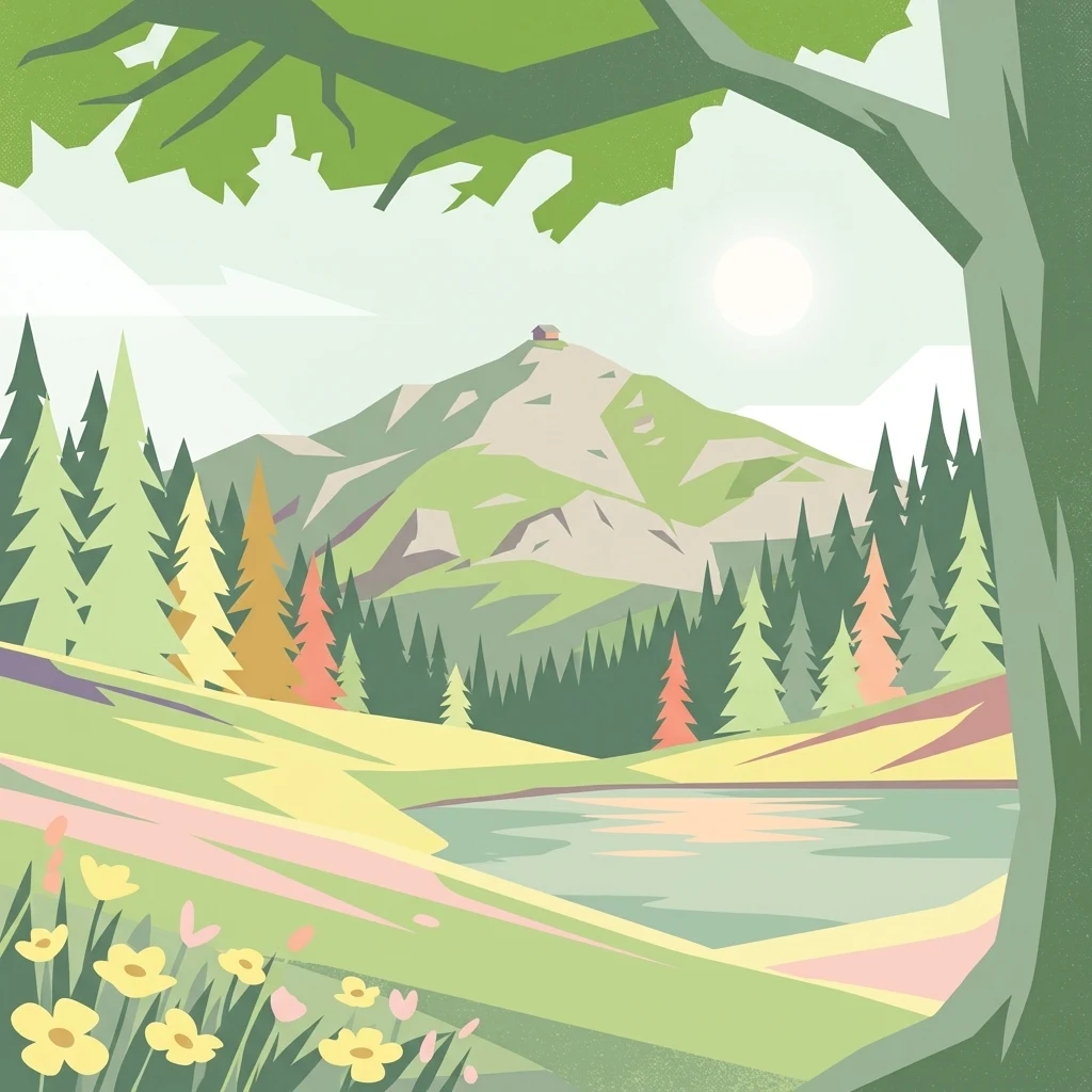
A graphic illustration of Zirbitzkogel, showing yellow wildflowers in the foreground, a lake and pine forest in the midground, and a mountain peak with a small structure on top in the background.

The high peak of the Seetal Alps, where Swiss pine forests meet alpine plateaus and rare mountain wildlife.

Zirbitzkogel

Zirbitzkogel is the highest summit of the Seetal Alps in Austria, rising to 2,396 metres above sea level in the state of Styria near the border with Carinthia. It sits just south of the upper Mur valley and dominates the surrounding landscape with a clearly alpine character that belies its relatively modest elevation. The mountain is shaped by crystalline rock, slate, gneiss and granite, with its relief carved by ice age glaciers and later slope movements. Dense spruce forests climb toward the subalpine zone, where they give way to scattered stands of spruce, larch and Swiss pine. Higher still, ragged sedge grasslands and almost level plateaus surround the summit, with wind-exposed ground dominated by Alpine Azalea and lichens. Beyond its scenery, Zirbitzkogel is recognized for its ecological importance. Its summit region was historically known as a breeding site for the Eurasian dotterel, and the area itself is noted for rare butterfly species, small mountain tarns, and a spring-rich terrain. The wider Zirbitzkogel region has been part of the Natura 2000 network since May 2006, marking it out as a protected area of European significance for hiking, nature observation, and quiet alpine exploration.

Location
Austria
Park type
Protected area
Established
2006
Highest point
2,396 m
Explore Zirbitzkogel Protected Area

Navigate Zirbitzkogel events by date and distance

Explore historical earthquake records in the wider Zirbitzkogel area

Investigate earthquake observations around Zirbitzkogel, a terrestrial mountain protected area with valleys, forest, lakes, rivers and minor water presence; search reported time, magnitude, depth, locality and boundary distance with source access. Area is not estimated, and proximity does not establish boundary occurrence, landscape impacts, current danger, seismic cause or future activity.

Sort by
Magnitude
Location

This page describes catalogued earthquakes associated with the park by epicentre location and distance. It does not establish causation, assess current danger, or predict future earthquakes.

No earthquake records match the current filters

Park atlas

Continue after Zirbitzkogel earthquake history

Discover additional parks and protected places beyond Zirbitzkogel

Zirbitzkogel earthquake history leads to an independently curated collection of parks and protected places. These choices do not imply shared mountain terrain, conservation standing, habitats, geology, seismic experience, proximity, hazard exposure, risk, or equivalent quality and completeness of source evidence.
National parkStyria
48 km away#1 closest

North

Gesäuse National Park: Detailed Protected Landscape and Alpine Geography in Styria

Explore Austria's dramatic river gorge and rugged peaks.

Gesäuse National Park in Styria represents a significant alpine protected area, characterized by the striking Enns river gorge cutting through the Gesäuseberge. This national park offers a unique geographic context, showcasing steep limestone peaks, dramatic rock faces, and a rich hydrological network. Discover the mapped boundaries and protected landscape of one of Austria's most visually striking natural passages, ideal for detailed atlas exploration and understanding alpine conservation.

Area
110 km²
Established
2002
IUCN
II
Relief
Mountain
A horizontal watercolor painting showing a soft mountain range with green forests, a winding river valley, and wildflowers in the foreground.
Protected areaAustria
About 53 km away#2 closest

South

Geopark Karawanken: Alpine Protected Landscape and Tectonic Geography in Austria

A cross-border protected area defined by tectonic uplift and deep alpine valleys.

Geopark Karawanken showcases a profound geological record formed by tectonic plate convergence. The protected area features sharp mountain massifs, subterranean karst systems, and deep-cut gorges that reveal the underlying structural complexity of the alpine range, offering a clear view of how tectonic forces shape regional geography.

Area
1,067 km²
Established
2013
Relief
Mountain
Climate
Alpine
A watercolor painting showing a wide, panoramic view of rolling, grassy mountain slopes with soft pastel colors and small evergreen trees.
Protected landscapeCarinthia
About 64 km away#3 closest

West

Nock Mountains National Park: Mapping the Rounded Alpine Summits and Glacial Terrain of Carinthia

A protected alpine landscape and UNESCO Biosphere Reserve in the Austrian Alps

Discover the geographic character of Nock Mountains National Park, where the Gurktal Alps transition into sweeping, grass-covered dome summits. This protected area offers a look at a unique Tertiary land surface that survived the last Ice Age, supporting a mosaic of larch forests, alpine pastures, and high-altitude lakes that define the regional geography of southern Austria.

Area
184 km²
Established
1987
IUCN
V
Relief
Mountain
Watercolor painting depicting layered mountain ranges, forests, and water bodies in green and pink tones
National parkUpper Austria
65 km away#4 closest

North

Kalkalpen National Park: Ancient Beech Forests and Karst Protected Landscape

Explore mapped boundaries and unique alpine terrain.

Kalkalpen National Park is a premier protected area in Upper Austria, celebrated for harboring Central Europe's largest remaining ancient beech forests and an extensive karst landscape. This designation underscores its critical role in preserving old-growth forest ecosystems and unique geological formations within the Northern Limestone Alps. Discover the mapped terrain and regional geography that define this significant natural reserve, offering a profound look into the continent's ecological history and protected natural heritage.

Area
208.25 km²
Established
1997
IUCN
II
Relief
Mountain
Watercolor illustration of a river flowing through a forested valley with mountains in the background
National parkSlovenia
78 km away#5 closest

Southwest

Triglav National Park: A Mapped Alpine Protected Landscape in Slovenia

Julian Alps geography, glacial lakes, and karst terrain.

Triglav National Park is Slovenia's premier protected area, covering 880 square kilometers of the Julian Alps. This page details its dramatic alpine geography, including Mount Triglav, glacial valleys, and significant karst features. Understand the mapped boundaries and landscape context of this national park, a key entry in the MoriAtlas geographic discovery resource for understanding protected lands.

Area
880 km²
Established
1981
IUCN
II
Visitors
1.6M annual
National parkAustria
About 79 km away#6 closest

North

Limestone Alps National Park: A National Park in Austria's Mapped Protected Landscapes

Explore protected area boundaries and regional geography.

Limestone Alps National Park represents a vital component of Austria's protected lands, contributing to the nation's atlas of natural landscapes. This page details the park's identity as a national park, focusing on its geographic scope and mapped boundaries. Users can delve into the regional context and understand the protected-area significance of Limestone Alps National Park, enriching their exploration of Austria's diverse geography.

National parkAustria
85 km away#7 closest

West

Hohe Tauern National Park: Regional Geography and Protected Alpine Mountain Terrain

Major protected area in the heart of the Austrian Alps

Hohe Tauern National Park protects a grand scale of alpine terrain, including towering summits above 3,000 meters and the longest glacial systems in the country. This atlas record provides insights into the park's vertical landscape, encompassing glacial valleys, waterfalls, and diverse ecological zones that define the High Tauern mountain range in Austria.

A soft watercolor illustration showing a panoramic view of mountain ridgelines in muted green, blue, and faint pink tones against a white background.
Nature reserveSalzkammergut
About 86 km away#8 closest

Northwest

Loser Plateau Nature Reserve: Alpine Karst Geography in the Salzkammergut Mountain Range

Protected high alpine plateau and extensive karst systems

The Loser Plateau is a distinctive high-altitude nature reserve in the Salzkammergut region of Austria. This protected area features expansive limestone pavements, complex karst sinkholes, and massive mountain crags that dominate the skyline above Lake Altaussee. It provides a unique window into high alpine geology, showcasing fossil-rich layers and an intricate network of documented cave systems that rank among the most significant in the Eastern Alps.

Area
12 km²
Relief
Mountain
Climate
Alpine
Access
Easy access
MoriAtlas Explorer

Continue Your Geographic Exploration of the Zirbitzkogel Protected Area

Deepen your understanding of Zirbitzkogel through detailed geographic analysis and mapped terrain data. This MoriAtlas entry provides a structured look at the summit's alpine ecosystems, glacial relief, and its standing as a core protected landscape within the Austrian Seetal Alps region.

Global natural geography