Mori Atlas logo
Country parks

Discover and compare protected landscapes and natural terrain across Denmark's diverse regions.

Denmark National Parks and Protected Areas: A Comprehensive Browseable Atlas

Begin your exploration of Denmark's significant natural reserves and protected landscapes. This page offers a structured view of the country's national parks and other notable conservation areas, designed to facilitate geographic discovery and comparison of their mapped boundaries and regional context. Understand the distribution of protected lands across the Jutland peninsula and its islands, providing a foundational atlas for appreciating Denmark's natural geography.

Denmark National Parks and Protected Areas: A Comprehensive Browseable Atlas

Explore the geographic distribution of Denmark's national parks and protected landscapes, spanning the Jutland peninsula and its numerous islands.

National Parks in Denmark: Discover Protected Areas and Natural Reserves Across the Nordic Landscape

Discover Denmark's national parks, nature reserves, and protected areas, showcasing its distinctive coastal scenery, ancient woodlands, and unique island ecosystems. Explore this complete country listing to understand the geographic spread of conservation landscapes across the Jutland peninsula and the nation's varied island territories.

Showing 1 to 20 of 87 parks

National parkDenmarkMarine

Wadden Sea National Park

Mapped boundaries and unique protected landscape exploration.

Wadden Sea National Park is a vast national park encompassing the Danish portion of the Wadden Sea, a globally significant tidal wetland. Recognized for its critical role in bird migration, hosting millions of birds annually, it features a distinctive landscape of tidal flats, salt marshes, coastal dunes, and barrier islands. This protected area offers a unique lens through which to explore dynamic coastal geography, intertidal ecosystems, and the conservation of a World Heritage Site.

1,466 km²2010TemperateEasy access
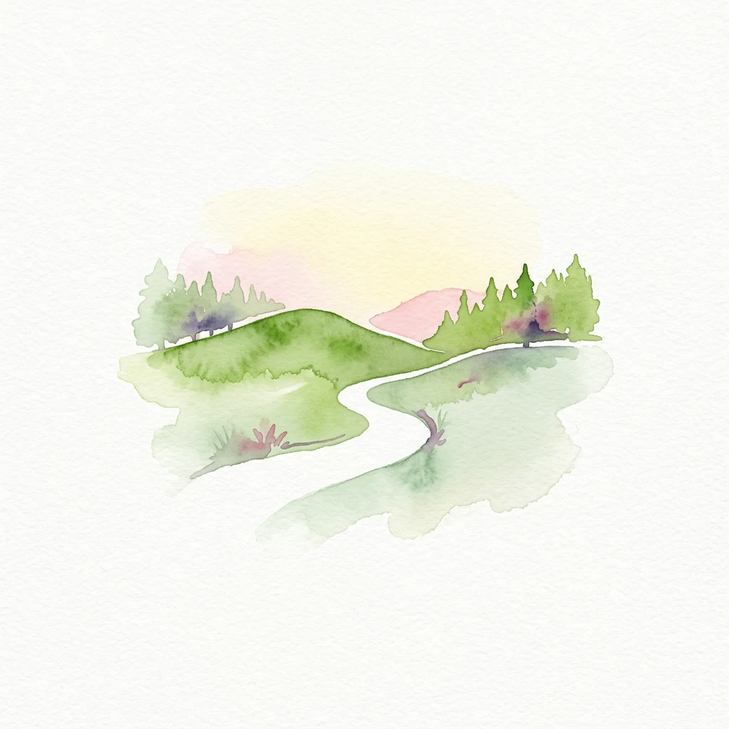
Watercolor illustration showing a winding river through grassy terrain with pine trees and a cloud
National parkDenmark

Thy National Park

Mapped dune systems, rare heath habitats, and coastal geography.

Thy National Park, Denmark's inaugural national park, protects a significant expanse of windswept coastal terrain. This area is renowned for its rare dune heaths, a habitat of particular European ecological importance, and a landscape shaped by a century of sand drift stabilization efforts. The park's diverse geography includes extensive sandy heaths, conifer plantations, and a striking coastline along the North Sea, offering rich opportunities for atlas exploration of protected natural areas and their surrounding regional context. Discover the mapped extent of this vital conservation landscape.

244 km²2007TemperateEasy access
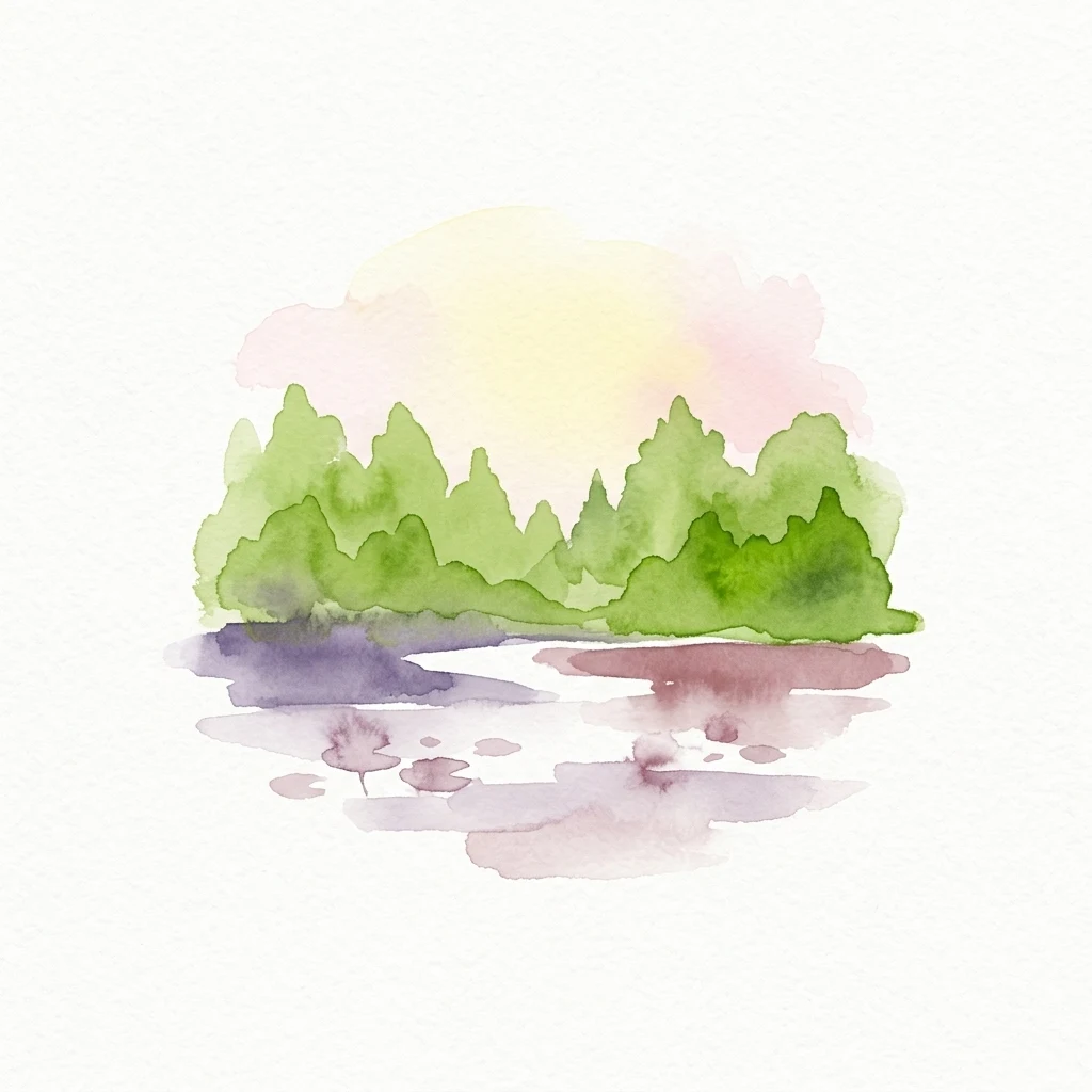
Watercolor painting of green rolling hills, a winding white path, scattered trees, and a pastel sky
National parkDenmark

Mols Bjerge National Park

Explore Denmark's second national park, a mosaic of glacial terrain and coast.

Mols Bjerge National Park offers a unique exploration of Denmark's glacial past through its mapped protected landscape. This 180 square kilometre national park on the Djursland peninsula is characterized by the prominent Mols Hills, rising to 137 metres, and diverse coastal environments along the Kattegat. The park preserves a rich mosaic of heath, woodlands, pastures, bogs, meadows, and coastal habitats, alongside significant prehistoric human heritage. Understanding Mols Bjerge National Park's protected boundaries and its place within the regional geography is key to appreciating its atlas value.

180 km²2009TemperateModerate access
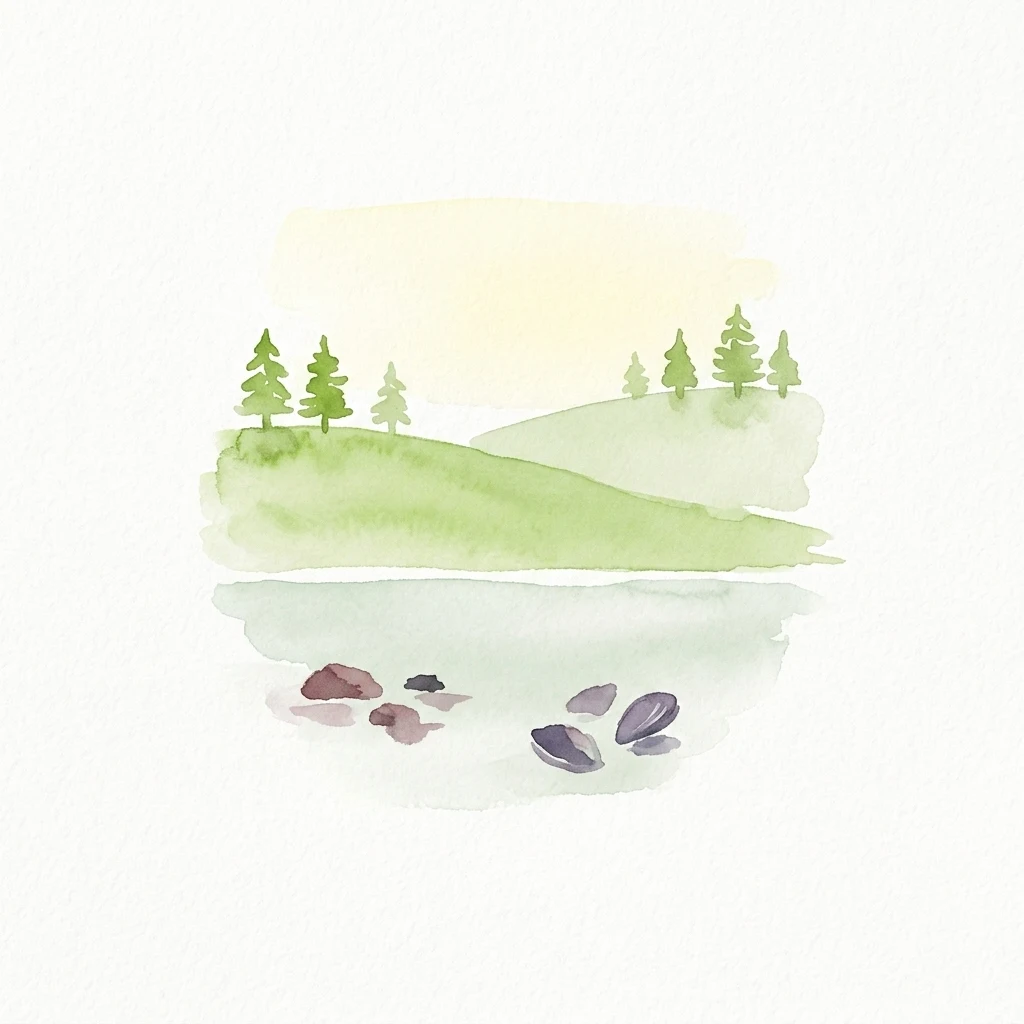
Watercolor painting of green trees, calm lake with lily pads, and pink-yellow sky
National parkDenmark

Kongernes Nordsjælland National Park

Explore North Zealand's protected natural terrain.

Delve into the protected landscape of Kongernes Nordsjælland National Park, a significant national park in Denmark's North Zealand region. This section provides a structured overview of its mapped boundaries and geographic setting, allowing for a detailed atlas-style discovery of its natural terrain. Understand how this protected area contributes to the region's conservation landscape and mapped geography.

II
Protected areaDenmark

Anholt og havet nord for (Natura 2000-område nr. 46)

478.78 km²Water-dominated
Protected areaAarhus Kommune

Årslev Engsø

2.1 km²2003TemperateEasy access
Protected areaNorth Zealand

Furesø

9.41 km²TemperateEasy accessWater-dominated
Protected areaDenmarkMarine

Natura 2000 area no. 66 Stadil Fjord og Vest Stadil Fjord

69.03 km²TemperateEasy accessWater-dominated
Protected areaDenmark

Natura 2000-område nr. 38 Bredsgård Sø

1.72 km²1984Major water bodies
Protected areaDenmark

Natura 2000-område nr. 43 Klitheder mellem Stenbjerg og Lodbjerg

29.18 km²Minor water
Protected landscapeDenmark

Naturpark Mølleåen

50 km²1942TemperateEasy access
Natural monumentRudmose Aggerø

Rudmose Aggerø

0.275 km²TemperateMajor water bodies
Protected landscapeSilkeborg Municipality

Sindbjerg og Stovbjerg

0.22 km²1910TemperateEasy access
Protected areaDenmarkMarine

Stavns Fjord

20 km²1926Moderate accessWater-dominated
Protected landscapeDenmark

De Himmerlandske Heder

13.87 km²TemperateMinor water
Nature reserveAarhus Kommune

Brabrand Sø

1.54 km²1959TemperateEasy access
Nature reserveRegion Midtjylland

Natura 2000-område nr. 68 Skjern Å

25.8 km²2011
Protected areaRegion MidtjyllandMarine

Natura 2000-område nr. 62 Veno, Veno Sund

29.26 km²2011TemperateModerate access
Nature reserveRegion MidtjyllandMarine

Natura 2000-område nr. 55 Stavns Fjord, Samsø Østerflak og Nordby Hede

156.63 km²1981TemperateModerate access
Protected areaRegion Midtjylland

Natura 2000-område nr. 53 Sepstrup Sande, Vrads Sande, Velling Skov og Palsgård Skov

55.72 km²Major water bodies
Other countries

Map and compare diverse national park geographies and conservation landscapes across broader Europe.

Continue National Park Discovery: Browse Other Countries and Protected Areas from Denmark

From Denmark, browse extensive lists of national parks and protected areas in neighboring countries and across the wider European continent. This atlas view offers crucial geographic context and supports comparative exploration of diverse conservation landscapes globally.

Germany National Parks and Protected Areas: Browse Geographic Distribution

Discover the breadth of Germany's national parks and protected natural areas through a structured geographic atlas. This section enables detailed browsing of mapped boundaries and understanding the regional landscape context for each protected land. It serves as a comprehensive entry point for anyone interested in the geography and distribution of conservation areas within the Federal Republic of Germany.

1,230 parks

Explore National Parks and Protected Areas Across Poland's Geography

Delve into the structured geography of Poland's protected natural areas. This atlas view highlights the distribution of national parks and other significant protected lands, offering insights into their regional context. Use this entry point to navigate and understand the geographic scope of conservation landscapes across Poland, from its diverse terrains to its mapped natural features.

394 parks

Czechia National Parks and Protected Areas: Mapped Landscapes and Geographic Context

MoriAtlas presents a structured atlas view for discovering national parks and protected areas within Czechia. Examine the geographic spread and mapped boundaries of these significant natural landscapes. This resource aids in understanding the country's protected land distribution and regional geographic context, moving beyond simple listings to a deeper, map-aware exploration of Czechia's natural heritage.

250 parks

Norway Protected Areas and National Parks Geographic Atlas Explorer

Discover the breadth of Norway's protected natural areas with MoriAtlas. This country-level atlas entry point allows you to explore the geographic distribution of national parks and conservation landscapes. Understand the spatial context of protected areas across Norway's diverse terrains, from the mainland Scandinavian Peninsula to its arctic territories, all within a structured, map-aware framework.

55 parks

Explore Netherlands National Parks and Protected Areas with the MoriAtlas Geographic Navigator

Navigate the rich tapestry of Netherlands' protected natural areas and national parks using a geography-first approach. This platform provides an atlas view of mapped landscapes, enabling detailed exploration of park boundaries and their regional significance. Understand the distribution and context of conservation lands within the Netherlands, offering a structured foundation for geographic discovery and analysis of natural terrains.

50 parks

Explore Sweden's National Parks and Protected Areas: A Geographic Atlas View

Navigate Sweden's rich collection of national parks and protected areas through MoriAtlas. This platform provides a structured overview of their geographic distribution, allowing for detailed map-based exploration of protected lands. Understand the landscape context and regional geography of Sweden's natural reserves, facilitating a comprehensive discovery of its conservation areas.

29 parks

Belgium National Parks and Protected Areas: An Atlas of Mapped Natural Landscapes

Delve into the structured geography of Belgium's protected natural areas with MoriAtlas. This country-level atlas entry point reveals the mapped distribution of national parks and other protected lands, providing essential geographic context. Understand the landscape patterns and navigate through Belgium's conservation areas, enabling a deeper appreciation of its natural terrain and protected regions.

13 parks

Luxembourg National Parks and Protected Areas: A Geographic Atlas Overview

Navigate the diverse protected natural areas of Luxembourg through a structured geographic lens. This atlas entry point allows for detailed exploration of park boundaries and the distribution of protected landscapes across the country. Understand the regional geography and conservation context of Luxembourg's natural heritage.

12 parks

Protected area types

Continue Exploring Denmark's Park Designation Landscape and Natural Geography

Dive deeper into the structured classification of Denmark's protected areas by continuing to explore specific designation groups. Understanding these categories provides critical context for the country's natural landscapes, allowing for a more detailed atlas-based exploration of its conservation geography and mapped natural reserves.

Denmark's Protected Area Designations
MoriAtlas Explorer

Continue Searching Protected Areas Across Denmark's Landscape

Deepen your understanding of Denmark's protected areas by continuing your focused search. Utilize advanced filtering options to compare national parks and natural landscapes, uncovering detailed geographic context and conservation site information across the country. This route helps you refine your exploration of Denmark's protected lands.

Global natural geography