Mori Atlas logo
Countries

Browse mapped protected landscapes and understand Bolivia's park distribution across diverse regions.

Bolivia National Parks and Protected Areas: A Geographic Atlas Explorer

Explore the Plurinational State of Bolivia through its network of national parks and protected areas. This geographic atlas provides a structured overview, enabling discovery of mapped park boundaries and understanding the distribution of natural landscapes from the Andean highlands to the Amazonian lowlands. Navigate Bolivia's conservation areas to grasp the country's diverse regional geography and terrain context.

Related tags

landlocked countrysouth americaandean regionmultiethnic nationplurinational state
About

Explore Bolivia's protected landscapes, mapping their distribution across the diverse Andean, Amazonian, and Gran Chaco regions.

National Parks in Bolivia: Discover South America's Diverse Protected Areas and Andean Geography
Browse Bolivia's national parks and protected areas, encompassing diverse geography from Andean mountains and Amazonian plains to the Gran Chaco and Pantanal wetlands. A country-level perspective provides essential geographic context, detailing the regional spread and distribution of Bolivia's conservation landscapes across its distinct departments.

Bolivia, officially the Plurinational State of Bolivia, is a landlocked country in central South America. It features diverse geography including the Andean mountain range, Amazonian plains, Gran Chaco, and the Pantanal wetland. The country has a population of approximately 11.4 million and is administratively divided into nine departments, with La Paz as the seat of government and Sucre as the constitutional capital.

Bolivia is a unitary presidential republic and one of two landlocked countries in the Americas. It is the fifth-largest country in South America and the largest landlocked country in the Southern Hemisphere. The country has a multiethnic population including Amerindians, Mestizos, Europeans, and Africans. Spanish is the official language along with Quechua, Aymara, and Guarani. Bolivia achieved independence from Spain on August 6, 1825, and adopted its current constitution in 2009.

Largest city:Santa Cruz de la Sierra
Currency code:BOB
ISO code:BO
Parks count
3
Capital
Sucre
Area
1,098,580 km²
Population
11,365,333 (2,024)

Coastal
Island
Mountainous
Landlocked
Park atlas3 parks

Browse mapped protected areas in Bolivia, from high Andean ranges to Amazonian lowlands and the Gran Chaco.

National Parks and Protected Areas in Bolivia: Browse the Full List
Browse Bolivia's diverse national parks and integrated management natural areas, covering vast geographic regions from the high Andes to the Amazon basin and the Gran Chaco. Utilize this atlas view to compare distinct protected landscapes, understand their regional distribution, and navigate into detailed park profiles across this South American nation.
Protected areaGran Chaco Province

Aguaragüe National Park and Integrated Management Natural Area: Bolivia's Easternmost Sub-Andean Protected Landscape

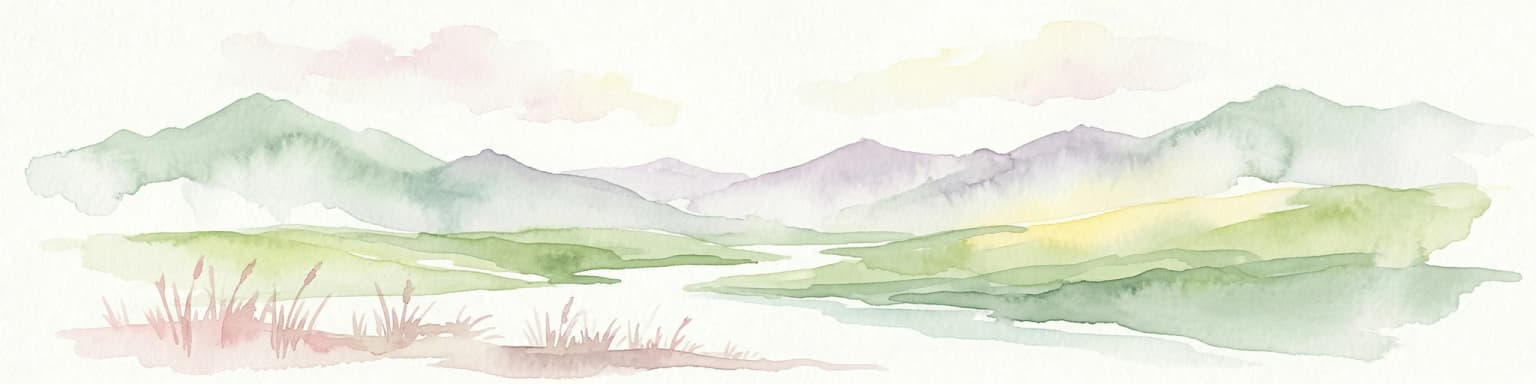
Explore its mapped mountain geography and ecological diversity.

Aguaragüe National Park and Integrated Management Natural Area is a crucial protected area in Bolivia's Gran Chaco Province, defined by the Serranía del Aguaragüe mountain range. This landscape offers a unique opportunity to explore a geographic transition zone where Southern Andean Yungas montane forests converge with Dry Chaco ecosystems. The park's protected boundaries encompass a rugged mountain backbone rising from the lowlands, representing a vital segment of Bolivia's Sub-Andean geography and protected natural areas.

Area
1,083.07 km²
Established
2000
IUCN
II
Relief
Mountain
National parkPotosí Department

Torotoro National Park: Paleontology and Karst Landscape Exploration in Bolivia

Discover prehistoric footprints within dramatic Andean canyon geography.

Torotoro National Park in the Potosí Department is a protected area distinguished by its rich paleontological significance and unique semi-arid mountain terrain. Featuring dramatic canyon systems plunging hundreds of meters deep, the park showcases thousands of Cretaceous dinosaur footprints alongside its complex karst topography, complete with caves and sinkholes, offering a profound glimpse into both ancient life and sculpted natural geography.

Area
165 km²
Established
1989
IUCN
II
National parkChuquisaca Department

Iñao National Park and Integrated Management Natural Area: Bolivia National Park and Protected Landscape

Explore the Serranía del Iñao's geography and conservation role.

Iñao National Park and Integrated Management Natural Area is a protected territory located within Chuquisaca Department, Bolivia, centered on the prominent Serranía del Iñao mountain range. This page offers detailed geographic context and an atlas perspective on the park's landscape, its role as a national park, and its contribution to regional conservation efforts in the Andean foothills.

Area
2,630.9 km²
Established
2004
IUCN
II
Scope
Terrestrial
Landscape and environment

Understand how Bolivia is shaped by terrain, ecosystems, and seasonal conditions

Bolivia geography, nature, climate, and landscape context for park-focused travel research
Explore the physical geography, natural setting, and climate patterns of Bolivia through a location-first overview built for travel research, national park discovery, and broader regional context. This section helps explain how landscapes, habitats, and environmental conditions shape what people search for, where they travel, and how they experience protected areas in Bolivia.

Bolivia geography and landscape

Bolivia is located in central South America, bordered by Brazil to the north and east, Paraguay to the southeast, Argentina to the south, Chile to the southwest, and Peru to the west. The country is divided between a western Andean region and tropical lowlands to the east and north. It includes the Amazonian plain, Gran Chaco, temperate valleys, the high-altitude Altiplano plateau, and part of the Pantanal wetland along its eastern border.

Bolivia nature and environment

Bolivia's geography encompasses diverse ecosystems including the Amazon rainforest, the Gran Chaco, the Altiplano plateau, and the Pantanal wetlands. The country features snow-capped peaks, mountains, tropical forests, and the largest tropical wetland in the world.

Bolivia climate and seasonal conditions

Bolivia experiences a range of climates due to its varied topography, from the cold high-altitude climate of the Altiplano to the tropical conditions of the Amazonian lowlands.

Explore this place

Related topics and popular queries

Ways to explore Bolivia
Useful phrases, related topics, and discovery prompts connected to Bolivia.
where is bolivia locatedwhat is bolivia known forbolivia geography and landscapebolivia capital citiesbolivia population and demographicsbolivia departments and regionsandean countries of south americabolivia countryplurinational state of boliviacentral south americalandlocked nationbolivia geographybolivia departmentsal tiplano plateausanta cruz de la Sierrala paz capital
Park map

Visualize the geographic spread of Bolivia's diverse protected areas, from Andean peaks to Amazonian plains.

Bolivia National Parks Map: Explore Protected Area Geography and Distribution
Discover the locations and geographic context of Bolivia's national parks and protected areas, spanning its diverse Andean, Amazonian, and Gran Chaco landscapes. The dedicated country map provides a comprehensive atlas view, offering clear insights into conservation landscapes and regional park distribution for deeper exploration.

Explore common questions on Bolivia's diverse park geography, protected landscapes, and regional distribution across the Andes, Amazon, and Chaco.

Frequently Asked Questions About National Parks and Protected Areas in Bolivia
Delve into essential questions about Bolivia's expansive network of national parks and protected areas, covering its vast geographic diversity from high Andean plateaus to Amazonian lowlands and the Gran Chaco. Understand the key aspects of park geography, conservation efforts, and how protected landscapes are structured across Bolivia's unique and varied terrain.
Other countries

Browse a wider geographic context of South American protected areas, tracing shared Andean or Amazonian landscapes beyond Bolivia.

Discover National Parks in Countries Near Bolivia: South American Protected Areas Atlas
After exploring Bolivia's national parks, expand your atlas discovery by browsing protected areas in adjacent South American countries, comparing diverse Andean mountain ranges and expansive Amazonian lowlands. This broader view helps contextualize regional conservation efforts and trace the geographic spread of protected landscapes across the continent.

Peru National Parks and Protected Areas: Browse the Geographic Atlas and Mapped Landscapes

Access a structured overview of Peru's national parks and protected areas, designed for geographic exploration and atlas-style discovery. Understand the distribution of conservation landscapes from the coast to the Amazon, examining their mapped boundaries and regional significance. This resource facilitates a deeper appreciation of Peru's natural terrain and its role in preserving biodiversity across diverse ecosystems.

25 parks

Argentina National Parks and Protected Areas: A Comprehensive Geographic Atlas

Gain a structured overview of Argentina's national parks and protected areas. This atlas view details the geographic spread and placement of conservation landscapes throughout the country, offering a clear understanding of the nation's commitment to preserving its diverse natural environments. Facilitates exploration from a continental perspective down to individual park boundaries.

22 parks

Chile National Parks and Protected Areas: Geographic Atlas Explorer

Access a structured atlas view of Chile's national parks and protected natural areas. This geography-centric resource details the distribution and mapped boundaries of conservation landscapes, providing essential context for understanding the country's diverse terrain. Navigate through the protected areas to uncover their geographic significance and regional patterns within South America.

17 parks

Colombia National Parks and Protected Areas: Mapped Landscape Explorer

Navigate the diverse protected areas and national parks within Colombia using a structured geographic atlas. This resource highlights the mapped distribution of conservation lands, offering insights into the natural terrain and regional landscape context across the country. Understand where Colombia's key protected areas are located and their significance within the broader South American geography.

13 parks

Brazil National Parks and Protected Areas: Browse Mapped Geographic Distributions

Navigate the extensive network of national parks and protected areas within Brazil. This section provides a structured overview of their geographic distribution, enabling detailed map-based exploration of natural landscapes and conservation territories across the country. Understand how protected lands are situated within Brazil's diverse geography and regional context.

5 parks

Ecuador's National Parks and Protected Areas: A Geographic Exploration

Navigate Ecuador's protected areas and national parks to understand their geographic context and distribution. This atlas offers a structured view of the country's conservation landscapes, highlighting diverse terrains from Andean paramo to endemic Galápagos ecosystems. Explore the mapped boundaries and regional geography to appreciate the scope of natural preservation efforts.

5 parks

Paraguay National Parks and Protected Areas: An Atlas for Geographic Discovery

Delve into the structured geography of Paraguay's protected areas and national parks. This atlas-style entry point offers a comprehensive overview of natural landscapes, allowing for detailed exploration of park boundaries and their distribution. Understand the unique regional context and mapped terrain across the country, providing a foundation for discovering Paraguay's conservation areas through geographic data.

3 parks

Uruguay National Parks and Protected Areas: Mapped Landscapes and Geographic Overview

Dive into the structured geography of Uruguay's protected areas. This atlas provides a unique lens to view national parks and natural reserves, highlighting their distribution and relationship to the surrounding landscape. Understand the geographic spread and context of conservation efforts across Uruguay, from coastal parks to inland natural reserves, all within a framework designed for deep exploration.

1 park
MoriAtlas Explorer

Continue Your Global Geographic Exploration with MoriAtlas Park Discovery

Dive deeper into the world's protected landscapes and national parks through MoriAtlas's structured atlas interface. Discover how continents and countries are organized, and how individual park geography fits into the broader map. Our platform is built for understanding the distribution and context of protected areas worldwide, facilitating your journey through global natural geography.

Global natural geography