Mori Atlas logo
Dune188 represented parks64 countries

Understanding how wind, sand, and vegetation form dynamic ecological communities

Dune Habitat in National Parks and Protected Areas: Patterns, Processes, and Regional Ecology

Dune habitat is a recurring ecological setting shaped by wind, sand accretion, and low nutrient availability across protected areas. This guide provides insight into the complex environmental controls, such as drought and burial, that govern plant succession and wildlife use. By analyzing structure and process, readers can compare how dune systems function as distinctive landscapes within global national parks.

Related tags

dune habitatcoastalpark habitatsprotected ecosystems
Habitat setting

Wind-driven sand, saline exposure, and groundwater hydrology shape resilient plant communities.

Dune habitat in national parks and protected areas: key ecological and environmental settings

Dune habitat in national parks and protected areas comprises ecological communities on wind-deposited sand where active burial, drought, and nutrient-poor substrate shape specialized life. Extreme exposure, coastal or desert wind cycles, and saline-influenced groundwater systems dictate how pioneer species colonize and stabilize vulnerable sand structures globally.

Habitat definition

Dune habitat is habitat on wind-deposited sand where burial, movement, drought, and low nutrients shape life. The category describes a broad ecological pattern, so local examples may contain several communities and transitional zones.

Classification normally relies on several signals together: dominant life forms, vegetation structure, water regime, climate, soils, disturbance, and spatial continuity. A single plant species or scenic impression is rarely enough. The broad category is intended for atlas discovery, while detailed ecological surveys may divide it into many narrower communities.

A consistent definition also prevents broad scenery terms from being mistaken for evidence that the habitat occupies an entire park.

Climate relationship

Exposed wind, intense sun, drought, coastal storms, and occasional cool wet dune slacks. Climate controls productivity, water availability, disturbance, and the timing of biological activity.

Climate acts through both averages and extremes. A short drought, late frost, heatwave, storm, low-snow winter, or unusual flood can influence survival and regeneration more strongly than a small change in the annual mean. Elevation, slope, water, canopy, and coastlines create local refuges within the broader zone.

Local refuges may buffer short-term extremes, but sustained changes in temperature or moisture can eventually exceed that protective capacity.

Soils and hydrology

Common physical conditions include free-draining sand with little organic matter, saline influence, groundwater hollows, and mobile surfaces. These conditions influence rooting, nutrients, water storage, and habitat boundaries.

Soils and water provide the habitat’s less visible foundation. Texture, organic matter, oxygen, salinity, acidity, nutrients, rooting depth, and groundwater position control productivity and species composition. Surface vegetation can remain temporarily while degradation below ground reduces long-term resilience.

Changes to drainage, sediment, groundwater, or soil disturbance can therefore transform the habitat even before vegetation loss becomes visually obvious.

Ecological community

How wind accretion and pioneer vegetation drive succession and support specialized wildlife

Ecology and ecosystem function of dune habitat in national parks and protected areas

Wind transport, salt spray, and pioneer colonization drive succession across sandy terrain, establishing soil nutrients and varied canopy layers that shape wildlife niches. Seasonal storms, rainfall, and temperature shifts alter these physical structures, prompting resident and migratory species to adapt through dormancy or localized movement.

Ecological processes

Key ecological processes include wind transport, sand accretion, blowouts, salt spray, pioneer colonization, and stabilization drive succession. Their relative importance changes with geography, disturbance history, and landscape connectivity.

Energy and nutrients move through producers, consumers, decomposers, water, and soil at rates set by temperature and moisture. Disturbance can reset part of the system while leaving refuges that support recovery. The timing, size, and frequency of those events often matter more than whether disturbance occurs at all.

The balance among productivity, decomposition, competition, predation, and disturbance determines whether the habitat persists, shifts, or fragments.

Vegetation structure

Typical vegetation includes marram and beach grasses, creeping pioneers, shrubs, lichens, herbs, and dune-slack plants. Plant structure varies with moisture, soils, elevation, disturbance, and succession.

Vegetation should be described through layers, density, height, seasonality, and functional adaptations rather than as a universal species list. Dominant plants create shade, litter, shelter, fuel, roughness, and rooting structure, while smaller plants occupy gaps, edges, wet pockets, or disturbed surfaces.

Structure is as important as species identity because canopy layers, ground cover, and patchiness shape microclimate and available wildlife niches.

Wildlife relationships

Characteristic wildlife may include insects, reptiles, small mammals, ground birds, shorebirds, and specialized burrowing species. Individual parks support different species, but similar ecological roles recur across the habitat.

Wildlife use is rarely uniform across the habitat. Some species depend on interior conditions, others on edges, water, old trees, bare ground, seasonal food, or temporary disturbance patches. Mobile animals may use dune habitat for only one stage of breeding, migration, feeding, shelter, or dispersal.

Resident, migratory, and seasonally visiting species may rely on different parts of the habitat, so a single species list cannot describe its full value.

Seasonal dynamics

Storms, wind direction, rain, flowering, nesting, and vegetation growth shift dune structure. These changes affect food, cover, breeding, migration, fire, and visibility.

Seasonality affects not only appearance but ecological opportunity. Food, nesting sites, shelter, oxygen, water depth, fire risk, and movement corridors may become available for short periods. Species often survive unfavorable months through migration, dormancy, stored reserves, underground stages, or use of neighboring habitats.

These cycles affect detectability as well as ecology: the same habitat may appear sparse, flooded, dormant, or exceptionally productive at different times.

Conservation and global context

Managing dynamic sediment processes and specialized coastal communities under cumulative pressures.

Dune habitat in national parks and protected areas: conservation and ecological value

Dune systems shelter inland environments, regulate sediment flow, and harbor specialized species that depend on naturally unstable soils and intact landscape connections. Protected area managers evaluate how cumulative pressures like trampling and artificial stabilization interact, focusing restoration on natural sand cycles and ecological resilience.

Ecological importance

Dunes protect inland habitat, store sediment, and support highly specialized early-successional communities. Its value depends on intact processes and connections with neighboring habitats.

Importance can arise from high diversity, rare specialists, large populations, connectivity, water regulation, carbon storage, soil protection, or support for neighboring ecosystems. Naturally species-poor habitats may still be irreplaceable because their physical conditions and evolutionary communities occur nowhere else.

Its significance should be evaluated through these functions and landscape connections rather than through area or species richness alone.

Threats and pressures

Important pressures include trampling, vehicles, invasive plants, sand mining, erosion, artificial stabilization, and development. Their severity varies by region and should not be assumed to be equal in every park.

Pressures often interact. Fragmentation can limit recovery after fire, pollution can intensify low-flow stress, invasive species can alter fuel, and climate change can magnify drought or flooding. Listing drivers separately is useful, but management must consider their combined effect and the habitat’s recovery rate.

Pressures can reinforce one another, making cumulative effects more consequential than any single threat considered in isolation.

Conservation approaches

Common approaches include maintaining sand movement, pioneer vegetation, nesting refuges, dune slacks, and sediment supply. Management works best when it addresses both the habitat patch and the wider landscape processes that sustain it.

Restoration targets should focus on process and resilience, not only a preferred visual state. Reconnecting water, movement, sediment, fire, grazing, or succession may allow native communities to reorganize naturally. Where key species or seed sources are missing, more active intervention can be necessary.

Management outcomes should be measured through ecological condition and recovery, not merely the number of interventions completed.

Recognizing the habitat in parks

Visitors can read wind ripples, plant succession, animal tracks, blowouts, and transitions from beach to fixed dunes. These observable patterns help connect the habitat's appearance with its ecology.

Useful interpretation points to structure and evidence: canopy layers, plant spacing, water marks, soil moisture, tracks, burrows, deadwood, flowering, grazing, or transitions into coastal, desert, grassland. These clues help readers understand function rather than memorize a list of organisms.

Responsible interpretation should help visitors recognize habitat structure and sensitivity without implying guaranteed wildlife sightings or unrestricted access.

Global distribution

The habitat occurs across coasts, deserts, lake shores, and river margins worldwide. Regional forms differ in species composition while sharing broad ecological structure.

Distribution maps should distinguish broad potential range from confirmed habitat condition. Climate and landform may permit the habitat across a large region, while land use, disturbance, isolation, or water change restrict intact examples to smaller areas. Protected parks represent only part of the global pattern.

Protected examples are unevenly documented, so distribution summaries should distinguish ecological range from the current contents of the park database.

Global park examples

Representative examples include Great Sand Dunes, Lençóis Maranhenses, and Słowiński national parks. They illustrate geographic variety rather than a complete ranking of habitat sites.

The examples demonstrate different regional forms rather than defining a universal species composition. One park may show a large intact core, another an elevational transition, and another a habitat shaped by fire, flood, grazing, coast, or ice. Their comparison should focus on ecological structure and process.

Examples should remain geographically balanced and be treated as illustrative evidence, not as a ranking of the world's most important sites.

Representative parks

Comparing wind-swept coastal and desert sand systems across diverse regional climates

Dune Habitat in National Parks and Protected Areas: Global Distribution

Stored ecological data connects various protected areas to dynamic sandy landscapes shaped by wind transport, moisture gradients, and specialized plant colonization. Comparing individual park profiles reveals how these settings vary across climate zones, showcasing transitional margins and active sediment zones rather than uniform coverage.
Watercolor illustration showing mountains, a single tree, a curved beach, and a body of water
National parkGalápagos Islands

Galápagos National Park

Explore unique endemic species and mapped landscapes of the Galápagos Islands.

Galápagos National Park stands as a beacon of conservation, protecting the majority of the remote Galápagos Islands archipelago. This UNESCO World Heritage Site is a pivotal location for understanding evolution, featuring dramatic volcanic terrain and an extraordinary array of endemic wildlife, including giant tortoises and marine iguanas. Users can explore the park's protected boundaries, distinct ecosystems, and its significance as a global natural laboratory, offering rich context for landscape and geographic discovery.

7,995.4 km²1959SubtropicalModerate access
National parkAustraliaMarineMountain

Kakadu National Park

Explore Kakadu National Park's mapped boundaries and natural terrain.

Kakadu National Park stands as a significant national park entity within Australia, providing rich geographic context for atlas discovery. This page details the park's protected area identity, its mapped natural landscapes, and its place within the broader Australian continent's geography. Understand the unique regional setting and the specific topographic features that define Kakadu National Park for detailed exploration and comparative geographic analysis.

19,804 km²1979TropicalModerate access
National parkCaliforniaMountain

Joshua Tree National Park

Explore unique park boundaries and natural terrain across Southern California.

Joshua Tree National Park is a vital protected area in California, known for its distinctive natural landscape and geographic setting. This entry provides detailed information on the park's mapped boundaries and the unique terrain it encompasses, serving as a key point for atlas exploration of protected lands. Understand the regional geography and the specific character of this significant national park.

3,217.9 km²1994Moderate accessII
National parkCaliforniaMountain

Death Valley National Park

View the geographic boundaries and desert terrain.

Access a detailed atlas perspective of Death Valley National Park, a protected national park situated in California. Understand the park's distinct mapped boundaries and its role within the regional geography. This resource highlights the unique desert landscape, offering focused insights into its protected-area identity and natural terrain for geographic discovery.

13,848.4 km²1994AridModerate access
National parkNamibiaMarineMountain

Namib-Naukluft National Park

Explore its ancient dunes, Naukluft mountains, and coastal geography.

Namib-Naukluft National Park is a colossal protected area in Namibia, holding the distinction of being Africa's largest national park. This park is renowned for its iconic sand dunes, particularly at Sossusvlei, which are among the highest in the world and display dramatic colors due to iron oxidation. The landscape also features the rugged Naukluft Mountains and vital coastal fog zones, creating a diverse arid environment. Delve into the mapped geography and unique terrain of this ancient desert setting, understanding its protected landscape significance within Namibia's atlas.

49,768 km²1907AridModerate access
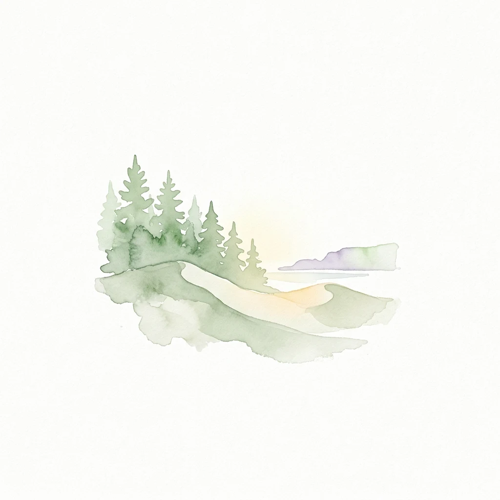
Watercolor painting of green pine trees on sand dunes with a light blue water body and distant hills
National parkLithuaniaMarine

Curonian Spit National Park

Exploring the narrow peninsula landscape of Lithuania

Curonian Spit National Park is a protected coastal terrain featuring massive sand dunes and coniferous forests situated along the Baltic Sea. This detailed map-based overview examines the geomorphology of the spit, the stabilization of the Nagliai reserve, and the regional geography that defines this unique ecological corridor within Lithuania.

264.74 km²1991TemperateModerate access
National parkColoradoMountain

Great Sand Dunes National Park and Preserve

Explore the natural terrain and protected boundaries.

Great Sand Dunes National Park and Preserve offers a unique protected landscape within Colorado, characterized by its distinct natural terrain and extensive dune fields. This destination provides valuable context for atlas exploration, detailing the park's mapped boundaries and its specific geographic setting. Understand its significance as a protected area and appreciate the unique natural features that define its landscape for a richer geographic discovery.

603.1 km²2004AlpineEasy access
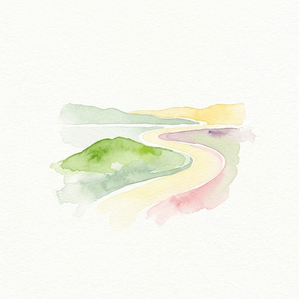
Watercolor illustration showing a winding path through a coastal landscape with green hills and colorful layers
National parkLower SaxonyMarine

Lower Saxon Wadden Sea National Park

Explore mapped boundaries, intertidal zones, and Lower Saxony's natural terrain.

Delve into the Lower Saxon Wadden Sea National Park, a significant national park situated in Lower Saxony, Germany. This page serves as your atlas entry point for understanding its protected landscape, characterized by vast mudflats, salt marshes, and a crucial role as a migratory bird corridor. Discover the geographic context of this UNESCO World Heritage site and its unique intertidal ecosystem through structured map data and detailed landscape information.

345.8 km²1986TemperateModerate access
National parkKaliningrad Oblast

Curonian Spit National Park

Exploring the dune systems and coastal lagoon terrain

Curonian Spit National Park serves as a critical protected landscape located in Kaliningrad Oblast. Its geography includes active aeolian dune formations, ancient forest stands, and wetlands flanking the Curonian Lagoon. The park represents a vital intersection of geological history and international bird migration research within a narrow, fragile Baltic coastal environment.

66.21 km²1987TemperateII
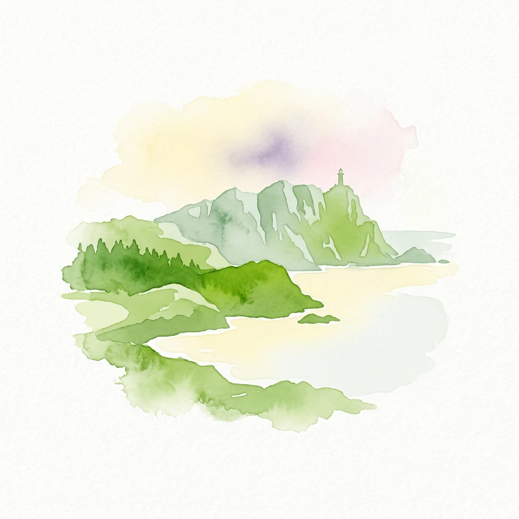
Watercolor illustration of a coastal landscape featuring green hills, a body of water, mountains, and a small tower on a peak.
National parkGaliciaMarine

Atlantic Islands of Galicia National Park

Explore mapped island ecosystems and protected marine areas.

Uncover the protected landscape of the Atlantic Islands of Galicia National Park, Spain's only national park in Pontevedra province. This atlas entry details the four distinct archipelagos, Cíes, Ons, Sálvora, and Cortegada, across the Rías Baixas. Discover the unique sea-land protected area, its rare bay laurel forests, significant seabird colonies, and the broader regional geography of Galicia.

84.8 km²2002TemperateModerate access
National parkMauritaniaMarine

Banc d'Arguin National Park

Explore the geographic identity and protected landscape.

Investigate Banc d'Arguin National Park, a significant national park located in Mauritania. This detailed page offers insights into its protected landscape, mapped geographic features, and its regional context. Understand the specific park boundaries and how the area contributes to the atlas of protected lands in Northwest Africa.

12,000 km²1976TemperateHighly restricted
National parkIrkutsk OblastMountain

Pribaikalsky National Park

Protected taiga, rift valleys, and Olkhon Island topography

Pribaikalsky National Park serves as a critical protected landscape featuring 470 kilometers of western shoreline along Lake Baikal. Its geography is defined by the steep scarps of the Obruchev fault, the dense taiga of the Primorsky Range, and the unique steppe environments of Olkhon Island. This atlas entry provides essential context on the physical relief and regional characteristics of this landmark Siberian protected area.

4,173 km²1986BorealModerate access
Related environmental topics

Moisture levels, wind disturbance, and soil stability shape transitions to neighboring communities

Ecosystem comparison: Dune habitat in national parks and protected areas and related habitats

Comparing adjacent ecosystems improves park interpretation by revealing how shared environmental controls and gradual transitions govern protected-area communities. Although dune landscapes frequently merge into grasslands or deserts, neighboring zones retain distinct ecological processes, soil properties, and specialized species.

Coastal habitat

Coastal habitat is a recurring ecological setting across protected areas. Understanding its climate, vegetation, wildlife, soils, water, and seasonal dynamics helps explain why parks with the same habitat can still look and function differently.

1,247 represented parks

Desert habitat

Desert habitat is a recurring ecological setting across protected areas. Understanding its climate, vegetation, wildlife, soils, water, and seasonal dynamics helps explain why parks with the same habitat can still look and function differently.

222 represented parks

Grassland habitat

Grassland habitat is a recurring ecological setting across protected areas. Understanding its climate, vegetation, wildlife, soils, water, and seasonal dynamics helps explain why parks with the same habitat can still look and function differently.

1,326 represented parks

MoriAtlas Explorer

Continue Exploring Protected Area Ecosystems and Habitat Types

Deepen your understanding of worldwide park geography through the MoriAtlas ecological index. Compare how fire, flooding, and soil chemistry differentiate forest, wetland, and tundra habitats to better interpret the complex environmental architecture of protected regions.

Global natural geography