Mori Atlas logo
Park earthquake history

A historical collection of localized epicenters mapped across the limestone karst terrain

Recorded Seismic Activity and Earthquake History of Aire and Candeeiros Ranges Natural Park

This collection presents a catalogue of recorded seismic events associated by proximity with the Aire and Candeeiros Ranges Natural Park. Each entry includes specific details regarding event date, magnitude, depth, and distance from the park boundary to provide a clearer understanding of regional seismic history. The data focuses on historical documentation and does not constitute a current hazard assessment or predictive analysis of future geological activity.

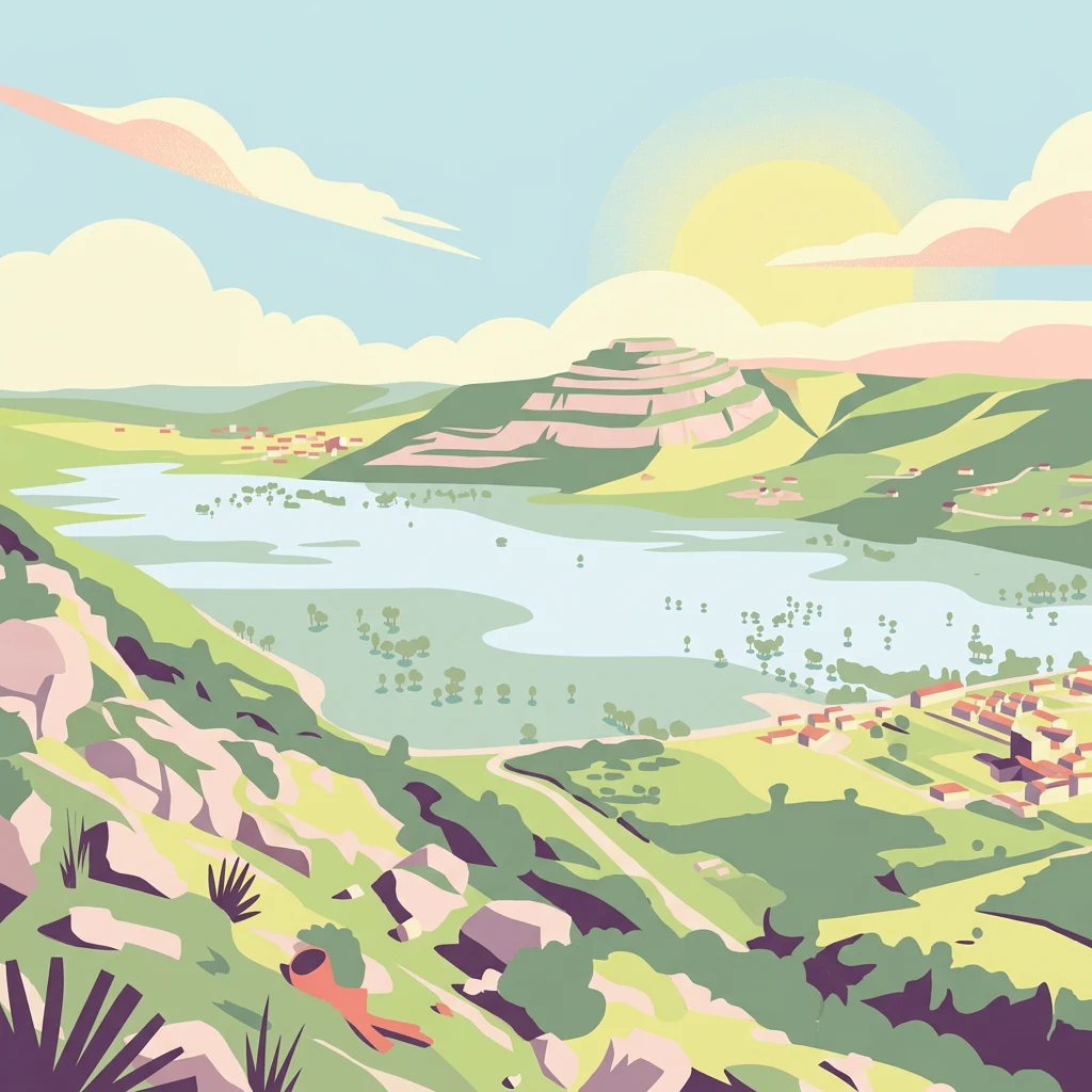
Stylized illustration of a landscape with hills, a lake, and vegetation under a sunny sky with clouds

Portugal's premier karst landscape with ancient dinosaur tracks and underground cave systems

Aire and Candeeiros Ranges Natural Park

Aire and Candeeiros Ranges Natural Park is a protected landscape in central-western Portugal that encompasses one of the country's most important limestone regions. Located across the Leiria and Santarém districts, the park spans approximately 384 square kilometers and sits within the Estremadura Limestone Massif, a geological unit formed during the Mesozoic era and subsequently deformed by Alpine tectonic activity. The park is defined by its distinctive karst topography, characterized by underground caves, sinkholes, poljes, and an extensive network of subterranean water galleries that constitute one of Portugal's largest freshwater reservoirs. Designated as a protected area in 1979, the park preserves not only natural landscapes but also the architectonic and cultural heritage linked to local human populations who have inhabited these limestone plains for centuries.

Location
Portugal
Park type
Protected landscape
Established
1979
Area
383.9 km²
Highest point
679 m
Aire and Candeeiros Ranges Natural Park Atlas

Read Aire and Candeeiros Ranges Natural Park records through date, depth, magnitude, and location

Earthquake catalogue associated by distance with Aire and Candeeiros Ranges Natural Park

Recorded earthquakes in the Aire and Candeeiros Ranges Natural Park catalogue are associated by epicentre location and calculated distance, not by an inferred cause or boundary claim. Every entry contributes its date, magnitude, depth, reported place, distance from the park, and source access for measured chronological and spatial comparison.

Sort by
Magnitude
Location

This page describes catalogued earthquakes associated with the park by epicentre location and distance. It does not establish causation, assess current danger, or predict future earthquakes.

No earthquake records match the current filters

Park atlas

Use the Aire and Candeeiros Ranges Natural Park page to widen protected-area discovery

Continue to other parks beyond Aire and Candeeiros Ranges Natural Park

Once the Aire and Candeeiros Ranges Natural Park earthquake catalogue ends, a separate park collection supports further discovery. The destinations are presented without assumptions about earthquake records, seismic links, geology, shared landscapes, park type, distance, or why the related-park query selected them.
Watercolor painting showing rolling coastal hills with green vegetation, a body of water, and distant mountains under a light sky
Protected landscapeLisbon District
61 km away#1 closest

Southwest

Sintra-Cascais Natural Park: Mapped Protected Landscape in Lisbon District, Portugal

Explore Atlantic coast geography and historic palatial terrain.

The Sintra-Cascais Natural Park is a designated protected landscape in Portugal's Lisbon District, renowned for its fusion of natural beauty and historical architecture. This page offers an atlas-style exploration of its mapped boundaries, showcasing the unique Serra de Sintra mountain range meeting the Atlantic coast. Discover the protected area's geographic features, from its lush forested slopes crowned with iconic palaces to the dramatic cliffs and beaches of Cabo da Roca, providing essential context for understanding this distinctive Portuguese natural landscape.

Area
144.51 km²
Established
1981
IUCN
V
Visitors
43.5K annual
Watercolor illustration showing rolling hills, greenery, and distant mountains under a light sky.
Protected landscapePortugal
87 km away#2 closest

South

Arrábida Natural Park: Protected Landscape Atlas and Geographic Context in Portugal

Mapped boundaries of this key Portuguese protected area.

Arrábida Natural Park is presented here as a significant protected landscape, offering rich details for geographic exploration and atlas-based research. Users can investigate its specific mapped boundaries, understand its environmental setting within Portugal, and utilize this data for comparative analysis of protected areas. This resource focuses on the park's inherent geographic identity and its role as a defined natural landscape.

Area
176.41 km²
Established
1976
IUCN
V
Visitors
23.1K annual
Watercolor illustration of a landscape with green hills, scattered trees, and distant mountains under a pink and yellow sky
Protected landscapePortalegre District
88 km away#3 closest

East

Serra de São Mamede Natural Park: A Protected Landscape Defined by Ecological Transition

Explore the unique mountain terrain and ecosystems of Portalegre District.

Delve into the geographic and ecological identity of Serra de São Mamede Natural Park, a significant protected landscape situated in Portugal's Portalegre District. This area is renowned for its dramatic quartzite ridges and its role as a crucial meeting point for Atlantic and Mediterranean plant communities, offering a unique atlas perspective on regional biodiversity. Examining its mapped boundaries and diverse terrain provides essential context for understanding its ecological importance and its distinct position within the Alentejo region's geography.

Area
560.6 km²
Established
1989
IUCN
V
Visitors
4.5K annual
Watercolor illustration of a landscape with green mountains, a body of water, and colorful wildflowers in the foreground
Nature reservePortugal
103 km away#4 closest

Northeast

Serra da Estrela Natural Park: Glacial Terrain and Highest Peaks in Portugal

Explore the dramatic geography of this nature reserve.

Serra da Estrela Natural Park is a significant protected landscape in Portugal, celebrated for containing the nation's highest peak and exceptional Quaternary glacial formations. The park's terrain includes dramatic valleys carved by ice, numerous glacial lakes, and a stark alpine plateau around Torre. This nature reserve preserves a unique environment shaped by both geological history and traditional pastoralism, offering rich mapped context for understanding Portugal's mountainous geography and protected areas.

Area
891.32 km²
Established
1976
IUCN
V
Visitors
7.6K annual
Protected landscapeAlentejo Litoral
159 km away#5 closest

South

Southwest Alentejo and Vicentine Coast Natural Park: A Protected Landscape in Alentejo Litoral

Explore its mapped boundaries and regional geographic context.

This detail page offers a deep dive into the Southwest Alentejo and Vicentine Coast Natural Park, a protected landscape situated in Portugal's Alentejo Litoral region. Understand the park's identity as a protected area through its geographic features and mapped extent. MoriAtlas facilitates a structured understanding of this natural landscape, enabling focused discovery of its protected boundaries and regional geographical significance.

Area
895.7 km²
Established
1988
IUCN
V
Visitors
12.7K annual
Watercolor illustration showing a river flowing through a valley with hills and vegetation
Protected landscapeBeja District
193 km away#6 closest

Southeast

Guadiana Valley Natural Park: Protected Landscape Discovery in Beja District

Explore its mapped geography and protected land context.

Guadiana Valley Natural Park is identified as a protected landscape, providing a specific focus for geographic study and map-based exploration. This entry details the park's unique protected-area status and its contextual placement within the expansive Beja District of southern Portugal. Understand the mapped boundaries and landscape features that define this area, serving as a key point for regional geographic understanding on MoriAtlas.

Area
697 km²
Established
1995
IUCN
V
Visitors
749 annual
Watercolor landscape illustration featuring mountains, forests, fields, and trees
Protected areaPortugal
205 km away#7 closest

North

Alvão Natural Park Protected Area: Atlas Exploration of Northern Portugal's Mountain Geography

Discover dramatic landscapes and mapped terrain.

Alvão Natural Park is a protected area in northern Portugal distinguished by its stark geological contrasts: upper granite plateaus and steep schist lowlands. This unique geography supports diverse ecosystems and features the impressive Fisgas de Ermelo waterfall. Explore the park's mapped boundaries and its role as a significant protected landscape within the region, offering rich context for any geographic exploration.

Area
72.03 km²
Established
1983
IUCN
V
Visitors
29.6K annual
Watercolor painting of sandy dunes with patches of grass, distant mountains, and a body of water under a light sky
Protected landscapeEsposende
205 km away#8 closest

North

Northern Littoral Natural Park Protected Landscape: Geographic Discovery and Atlas Context

Mapped protected areas and regional landscape discovery near Esposende.

Uncover the geographic identity of Northern Littoral Natural Park, a key protected landscape situated near Esposende. This MoriAtlas entry focuses on its mapped boundaries and regional significance, providing a factual basis for understanding its role within Portugal's network of protected areas. Explore the park's natural terrain and its context within the broader geography of the Norte region for comprehensive atlas-based discovery.

Area
87.62 km²
Established
1987
IUCN
V
Relief
Lowland
MoriAtlas Explorer

Continue Exploring the Geography of Aire and Candeeiros Ranges Natural Park

Deepen your understanding of Aire and Candeeiros Ranges Natural Park by exploring its detailed geographic context and mapped protected landscape features. Our platform helps you navigate the specifics of this protected area, connect it with the wider regional geography of Portugal, and expand your atlas exploration. Discover how this natural landscape fits into the broader mosaic of protected areas for more informed geographic insight.