Southeast
Lake Skadar
Karst Terrain and Transboundary Protected Landscapes
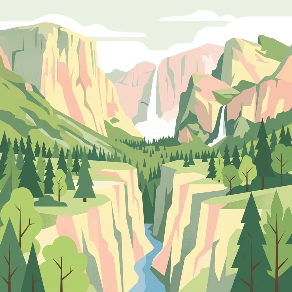
Lake Skadar, in Montenegro. Landscapes: cliffs, lakes, and rivers.
- Area
- 450 km²
- Established
- 1983
- Relief
- Lowland
- Climate
- Mediterranean
A geographic comparison of surrounding protected landscapes and mapped terrain features.
Navigate the regional geography surrounding Cijevna through a mapped comparison of neighboring protected areas. This collection highlights the distribution of nearby landscapes within the broader Balkan highland and alluvial context. Observe how the river system bridges mountain and lowland terrains alongside adjacent protected sites to provide a comprehensive look at the surrounding natural environment.

A transboundary river carving through the northern Albanian Alps toward the Morača and the Adriatic.
The Cijevna is a roughly 62 km transboundary river that rises in the far north of Albania and flows southwestward into Montenegro, where it joins the Morača south of Podgorica on its way toward the Adriatic via Lake Skadar. Its basin covers about 368 km², most of which lies in Albania, draining the northwestern fringe of the Albanian Alps, also known as the Prokletije. Headwater streams gather near the Qafa e Bordolecit pass, and the river descends over roughly 1,200 meters through deep V-shaped valleys and gorges that remain the only practical travel corridor through this remote corner of the Albanian highlands. Along the way it passes small mountain villages such as Selca, Tamara, Grabon, Broja, Dobrenja, Gropat e Selcës, and the side-valley settlements of Kozhnja, Vukël, and Nikç. The river matters well beyond its hydrology. The border-zone canyon is recognized as a refuge for rare plants, endemic species, and important birdlife, and it is protected under the Bern Convention. It also supports a freshwater fauna that includes salmonids, eel, and the endemic Strömer (Leuciscus souffia montenegrinus), though lower reaches face pressure from gravel extraction, waste, and wastewater.

See the ranked park cluster in its geographic setting
Explore surrounding protected landscapes, geographic separation, and regional context

Southeast
Karst Terrain and Transboundary Protected Landscapes
Lake Skadar, in Montenegro. Landscapes: cliffs, lakes, and rivers.

East
Dramatic karst, glacial valleys, and high-altitude ecosystems await.
The Alps of Albania National Park offers an expansive view into one of the Balkans' most significant mountain protected areas. This national park encompasses a spectacular landscape characterized by towering limestone peaks, deep glacial valleys carved over millennia, and intricate karst formations like Grunas Canyon. Its pristine wilderness protects diverse high-altitude ecosystems and unique geological features, serving as a key destination for understanding regional geography and protected landscapes.

West
Dinaric massif rising above the Adriatic coastal basin.
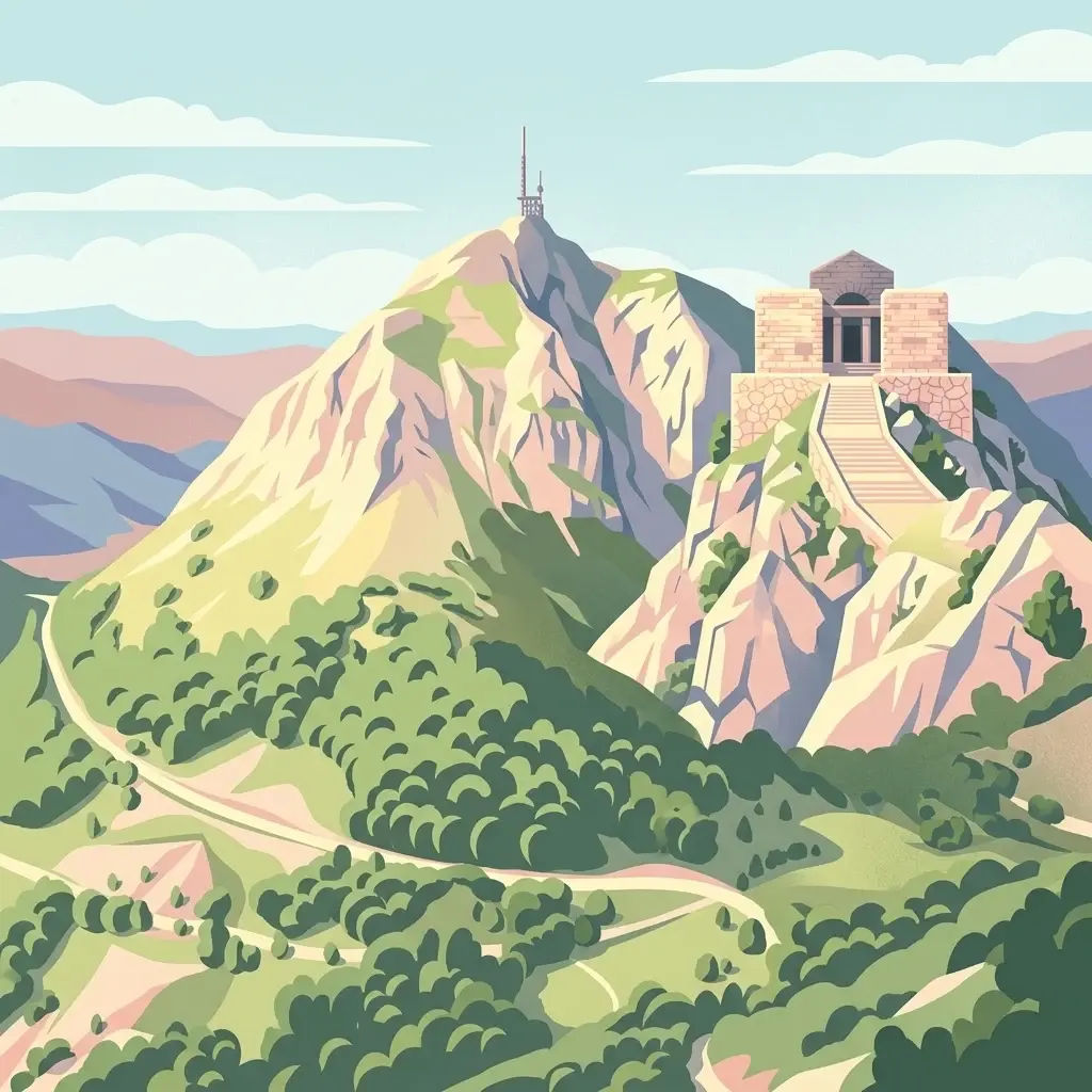
Lovćen National Park, in Montenegro. Landscapes: mountains, cliffs, and caves.

Southeast
A critical Balkan freshwater protected area.
The Lake Shkodër Nature Reserve serves as a foundational protected landscape in northern Albania, encompassing the extensive shoreline and riverine floodplains of Lake Skadar. This geographic entity showcases a transition from fertile lowlands to mountainous ridges, offering a detailed look at how hydrologic processes and alpine proximity define Balkan wetland habitats.

South
A large-scale saline nature park near Ulcinj in southern Montenegro.
Saline Ulcinj represents a significant coastal wetland complex nestled in the Buna delta. This protected landscape is defined by its unusual industrial history and modern transition into a vital nature reserve, characterized by expansive saline pools and shallow mudflats. Its geographic footprint offers a clear look at how coastal water management shapes the surrounding terrain and provides essential stopover habitats for Adriatic migratory birds.

Southeast
Mapped protected landscape in Shkodër County
The Buna River-Velipojë Protected Landscape encompasses the crucial junction of riverine systems and the Adriatic Sea. This protected area features a mosaic of marshes, lagoons, and alluvial forests that form a significant migratory corridor in northwestern Albania.

East
Rugged karstic relief and glacial mountain landscapes.
Discover the Accursed Mountains, a formidable high-mountain range in northern Albania known for its sheer limestone cliffs and profound glacial sculpting. This protected area provides a critical habitat for relict flora and fauna while maintaining one of the most intense relief profiles in the Balkans. Examine the mapped canyons, alpine cirques, and jagged ridges that shape this landmark range.

Northwest
High-altitude karst massif and Dinaric coastal mountain.
Orjen rises as a dramatic limestone block above the Adriatic coast of Montenegro, forming a high-altitude sanctuary defined by intensive Pleistocene glaciation and record-breaking annual precipitation. This protected landscape encompasses extensive dolines, roches moutonnées, and specialized cold-air refugia, providing a detailed study of sub-Mediterranean highland vegetation and complex subterranean karst drainage.

Northeast
Discover Montenegro's oldest national park with mapped terrain and regional geography.
Biogradska Gora National Park, in Montenegro.

East
Glacial terrain and protected primeval forests in Kukës County
Gashi Valley represents a vital nature reserve and protected alpine landscape in the Albanian Alps. Characterized by its glacial history, the area contains rugged ridges, morainic lakes, and primeval beech forests that serve as a crucial benchmark for European broadleaf ecosystems. This site offers deep insight into the complex geology and ecological significance of the northeastern mountain regions in Albania.

Southeast
Protected lagoon and forest landscapes in Lezhë County, Albania
Examine the protected territory of Kunë-Vain-Talë-Patok-Fushëkuqe-Ishëm Nature Park, defined by its dynamic lagoon systems, alluvial forests, and coastal dunes along the Adriatic shore. This area provides deep insight into deltaic hydrology and the preservation of Mediterranean woodland habitats within a regional geographic context.

Northeast
Explore dramatic mountains, glacial lakes, and diverse ecosystems.
Delve into the protected geography of Bjeshkët e Nemuna National Park, Kosovo's expansive national park located in the Accursed Mountains. This atlas entry details its significant alpine terrain, from dense forests to high-altitude meadows, and highlights the presence of glacial lakes like Liqenat. Understand its role as a vital conservation corridor and a key component of the Balkan's natural heritage.

North
High-altitude mountain geography and glacial plateau systems
Durmitor National Park, in Žabljak, Montenegro. Landscapes: mountains, plateaus, and canyons.

Southeast
Analyzing the reservoir and river valley landscapes of central Albania
Lake Ulza Nature Park represents a significant protected mosaic where the Mat River creates a corridor of reservoirs, oak forests, and stony uplands. This overview examines the park geography, offering a structured look at how water bodies and mountainous terrain converge to form a unique inland habitat in Dibër County. Explore the physical relief and environmental boundaries that define this essential Albanian natural landmark.

Southeast
Dibër County's alpine protected area with unique glacial lakes.
Delve into the detailed geographic context and mapped protected area of Lurë-Dejë Mountain National Park, an essential natural landscape in Albania's Dibër County. This park is renowned for its rare chain of twelve glacial lakes, situated at high elevations amidst dramatic alpine terrain. Its protected status ensures the preservation of significant old-growth forest ecosystems, including the critically endangered Balkan pine, contributing to its recognition as an Important Bird and Plant Area. Explore the park's distinctive terrain, from its soaring mountain peaks to its unique alpine meadows, all within a comprehensive geographic atlas framework.

Southeast
Highland pine forests and freshwater corridors in Albania
Shtamë Pass Nature Park sits within the central Albanian mountains, providing a critical ecological link between coastal-inland gateway regions. The area protects a complex mosaic of alpine terrain, including clear mountain lakes, cold freshwater springs, and dense black pine forests that shelter brown bears and wolves. This protected zone offers a comprehensive view of regional highland geography and topography through its distinct mountain pass corridor.

North
Explore the mapped geography and protected landscape of this vital Balkan natural area.
Sutjeska National Park, Bosnia and Herzegovina's inaugural national park, protects a dramatic mountainous region defined by primeval forests and its highest peak, Maglić. As a strict nature reserve, Perućica's ancient trees represent a rare ecological treasure within the Balkan landscape. This page offers a detailed look at the park's protected boundaries, its diverse natural terrain, and its significant geographic setting for atlas exploration.
Geographic measurements, not driving distances
Calculated between the nearest points of both park boundaries.
Estimated from one mapped park location to the nearest boundary of the other park.
Estimated between the mapped locations of both parks.
Deepen your understanding of the Cijevna river basin and its role as a vital mountain corridor. MoriAtlas provides detailed geographic context and mapped boundaries for this significant transboundary protected area between Montenegro and the Albanian Alps.